


Morne Garu Volcano
Updated: Nov 10, 2025 08:08 GMT -
Stratovolcano
Saint Vincent and the Grenadines, 13.29°N / -61.2°W 
Summit height: 1074 m / 3524 ft
Current status: (probably) extinct (0 out of 5)
[smaller] [larger]
Morne Garu volcano eruptions: None during the past 10,000 years
Less than few million years ago (Pleistocene)
Latest nearby earthquakes
| Date and Time | Mag / Depth | Distance / Location | |||
|---|---|---|---|---|---|
Background
Morne Garu stratovolcano, south of Soufrière St. Vincent volcano was active during the Pleistocene. A young Ar-Ar date of 0.011 +/- 0.014 suggests that activity may have overlapped with that of Soufrière St. Vincent volcano (Robertson, 2005b).---
Source: Smithsonian / GVP volcano information
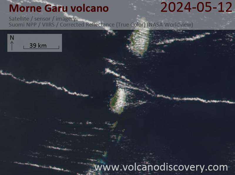
Latest satellite images

Morne Garu Volcano Maps
Below is a selection of maps showing the location and surroundings of the volcano at various resolutions based on aerial-imagery / terrain maps. Feel free to use them for non-commercial purposes on your blog or website as long as you credit them with a link back to this page (click to copy it).
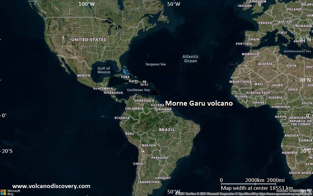
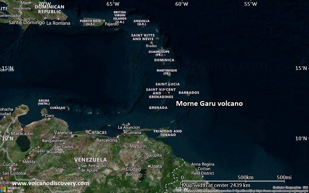
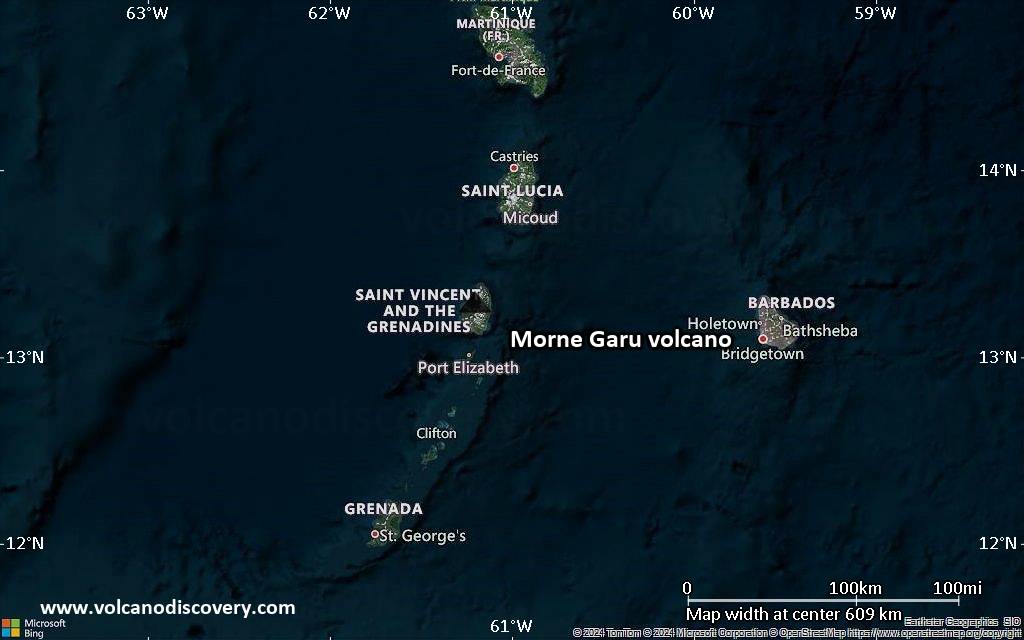
Satellite/aerial-type map of Morne Garu volcano (world scale)
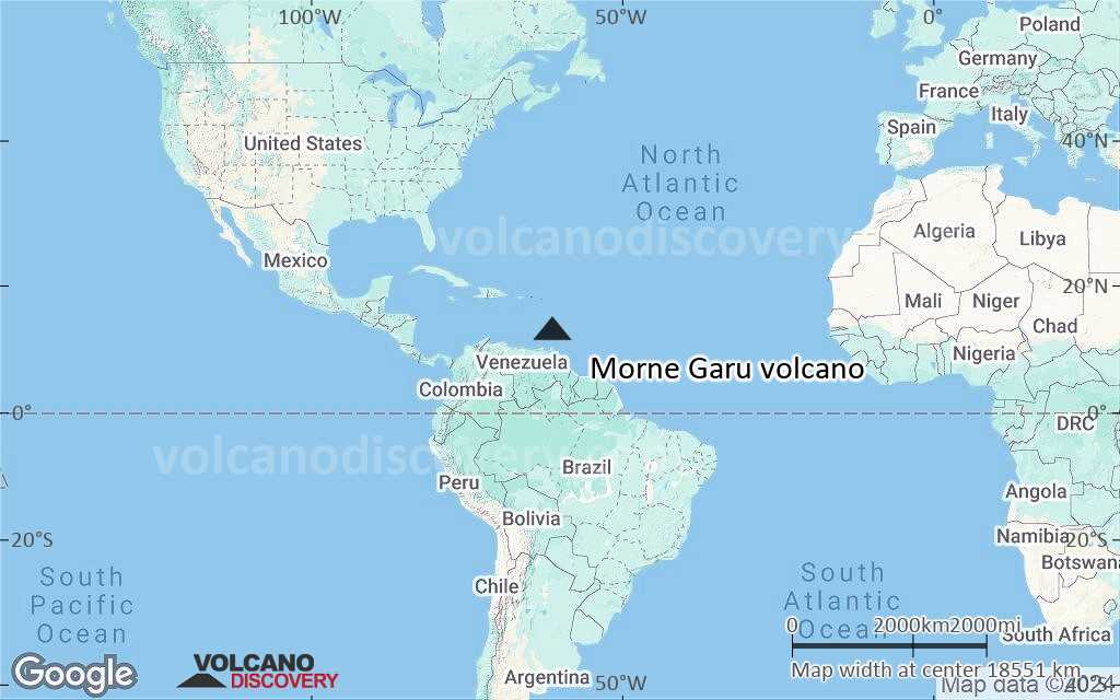
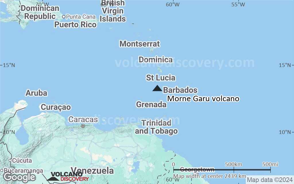
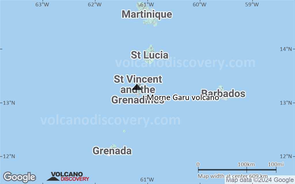
Terrain-type map of Morne Garu volcano (world scale)
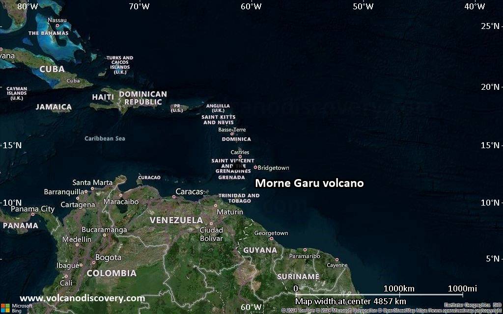
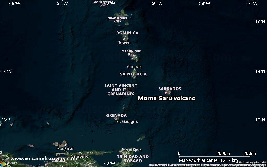
Satellite/aerial-type map of Morne Garu volcano (region scale large)

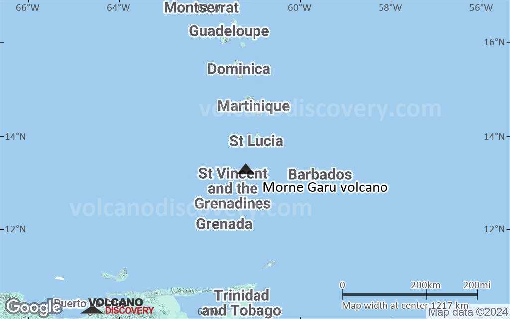
Terrain-type map of Morne Garu volcano (region scale large)
Satellite/aerial-type map of Morne Garu volcano (region scale medium)
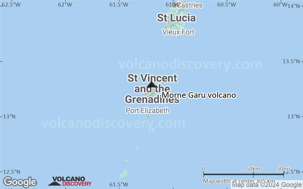
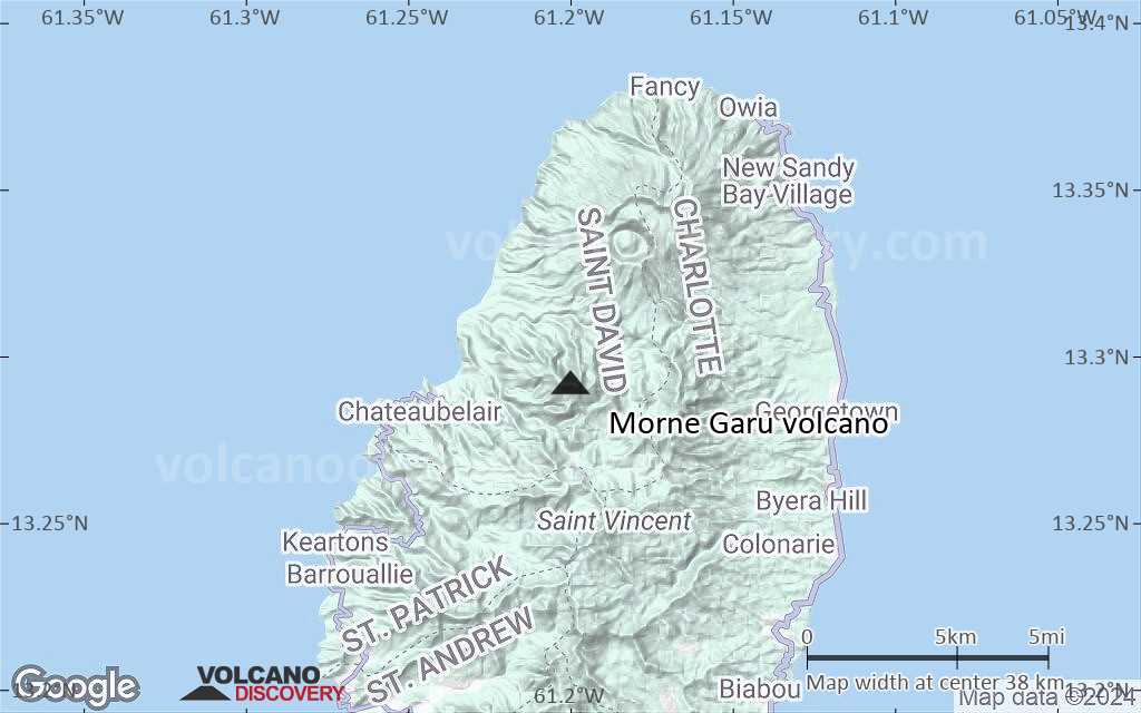
Terrain-type map of Morne Garu volcano (region scale medium)
Satellite/aerial-type map of Morne Garu volcano (region scale small)
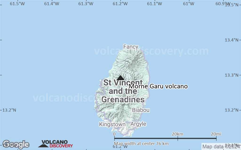
Terrain-type map of Morne Garu volcano (region scale small)
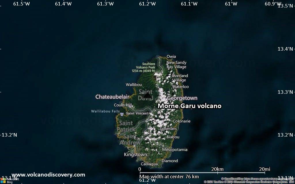
Satellite/aerial-type map of Morne Garu volcano (local scale large)
Terrain-type map of Morne Garu volcano (local scale large)

Satellite/aerial-type map of Morne Garu volcano (local scale medium)
Terrain-type map of Morne Garu volcano (local scale medium)

Satellite/aerial-type map of Morne Garu volcano (local scale small)

Terrain-type map of Morne Garu volcano (local scale small)
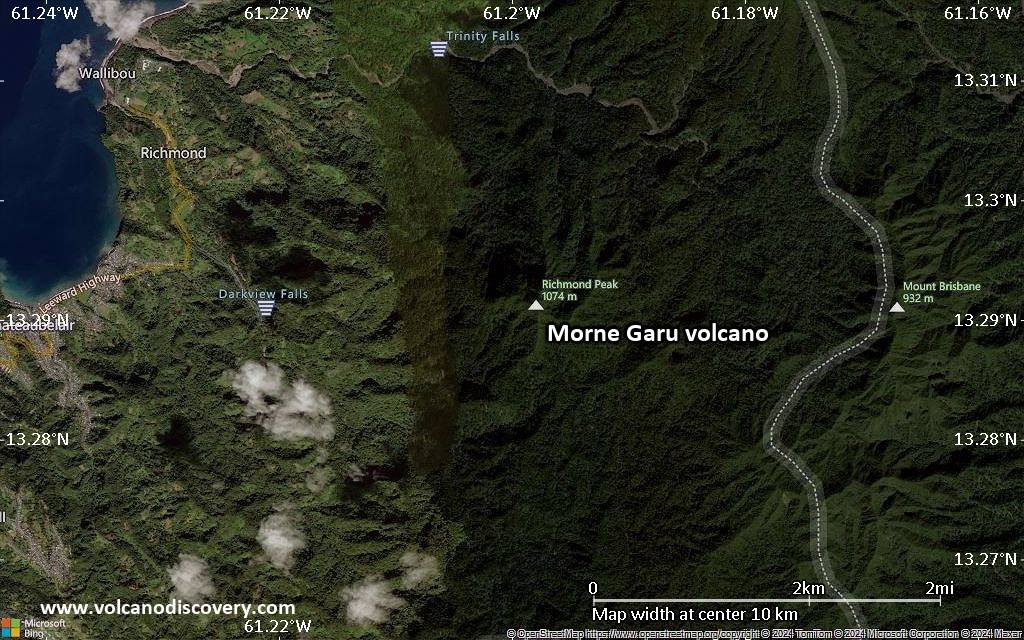
Satellite/aerial-type map of Morne Garu volcano (scale of 10s of km)
Terrain-type map of Morne Garu volcano (scale of 10s of km)
Satellite/aerial-type map of Morne Garu volcano (scale of 20-40 km)
Terrain-type map of Morne Garu volcano (scale of 20-40 km)
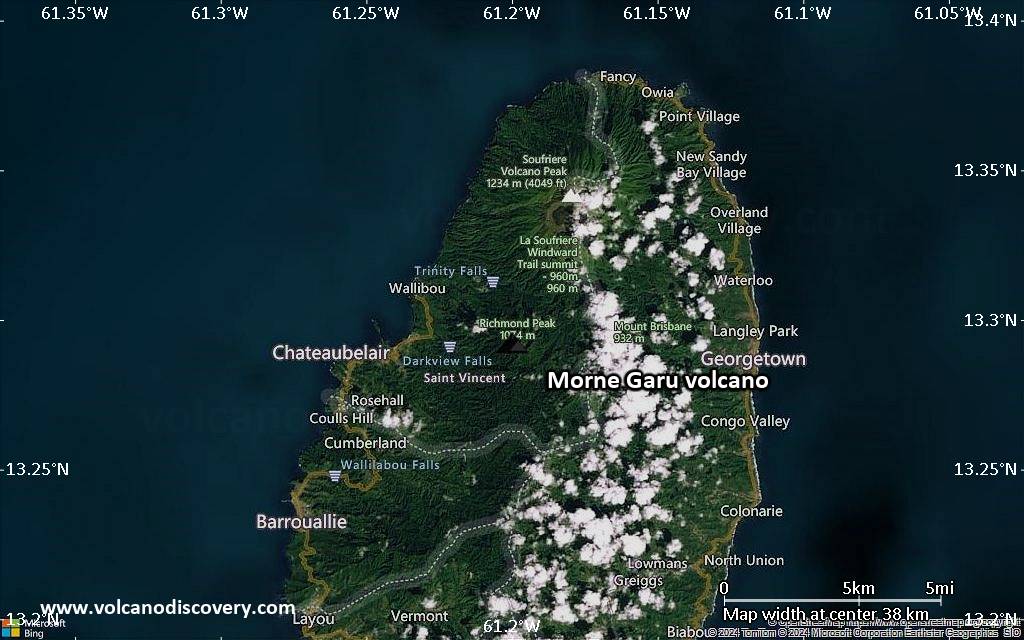
Satellite/aerial-type map of Morne Garu volcano (scale of approx. 10-20 km)

Terrain-type map of Morne Garu volcano (scale of approx. 10-20 km)
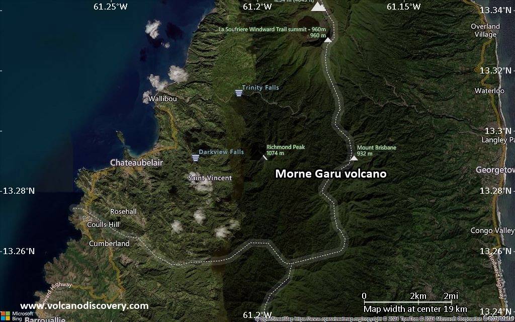
Satellite/aerial-type map of Morne Garu volcano (scale of 5-10 km)
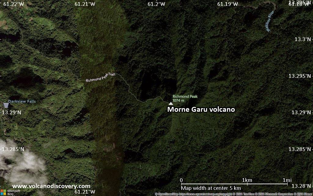
Satellite/aerial-type map of Morne Garu volcano (scale of few kilometers)


