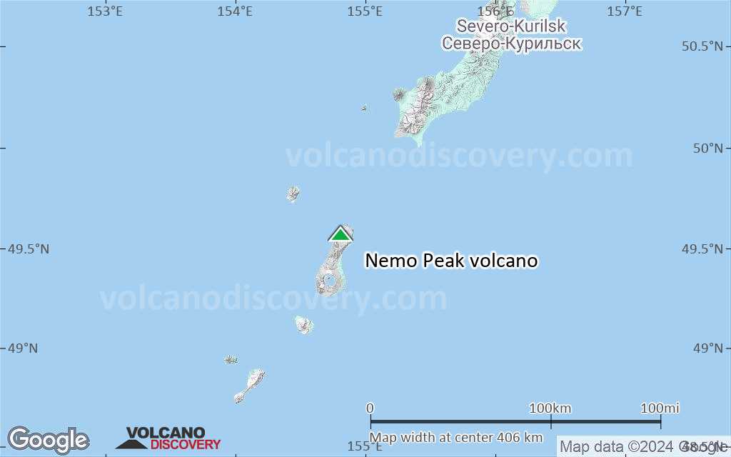
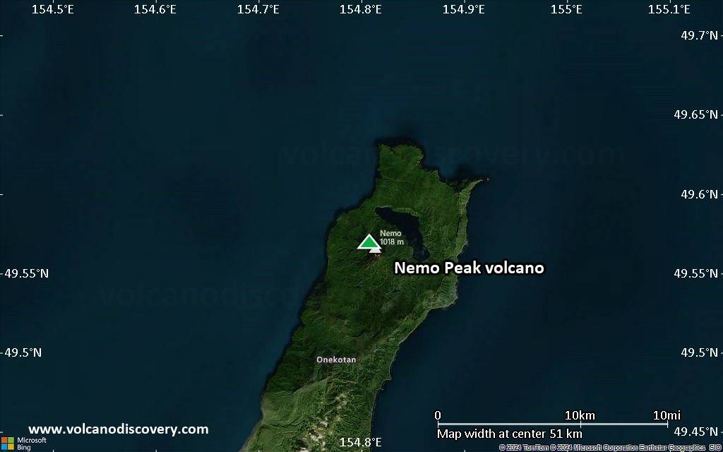
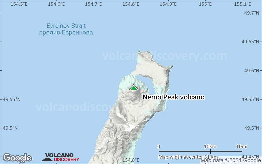
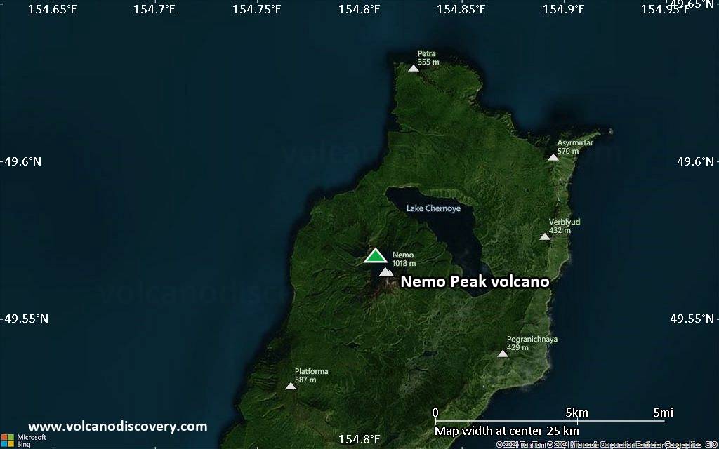
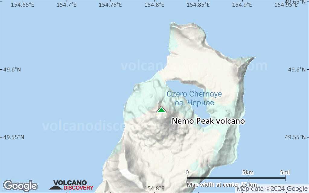
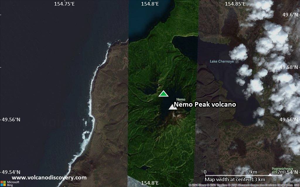
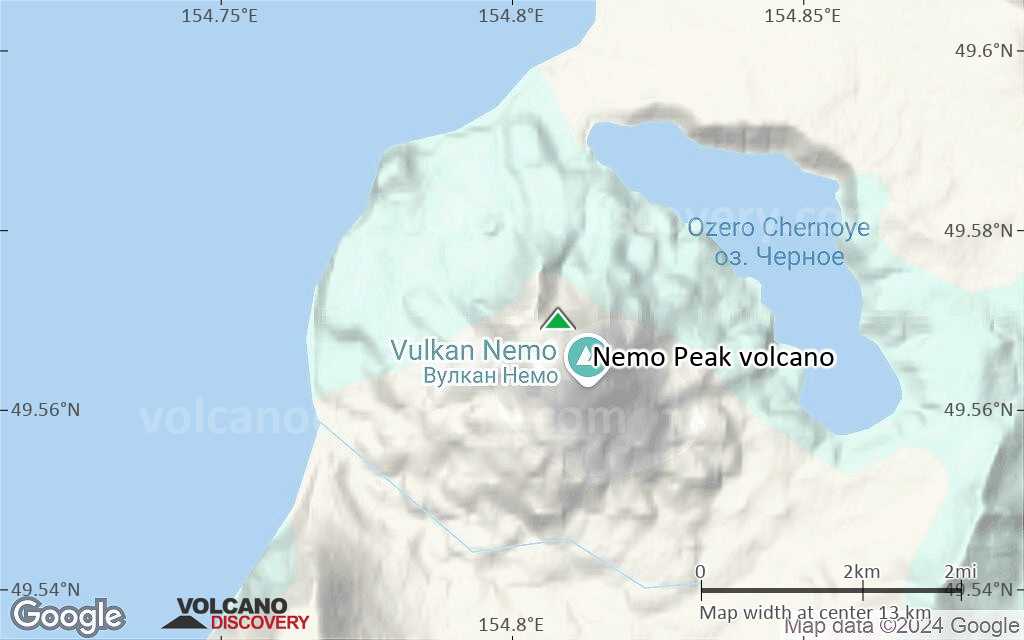
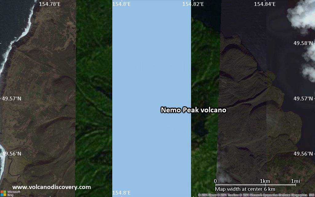
| RSS | EN | DE | EL | ES | FR | IT | RU

Nemo Peak Volcano

Updated: Jul 7, 2025 02:17 GMT -
caldera
Northern Kuriles (Kuril Islands), 49.57°N / 154.81°E
Summit height: 1018 m / 3,340 ft
Current status: normal or dormant (1 out of 5)

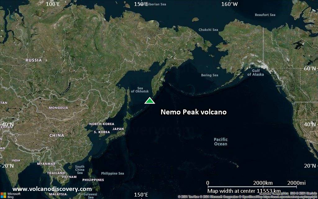
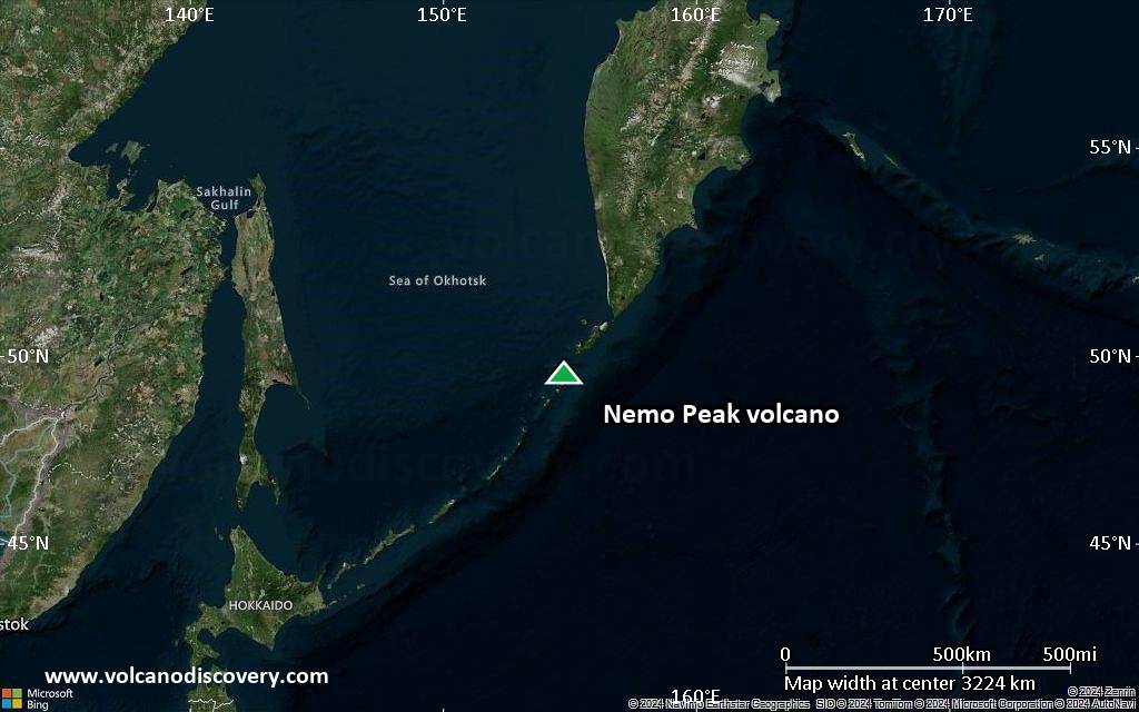
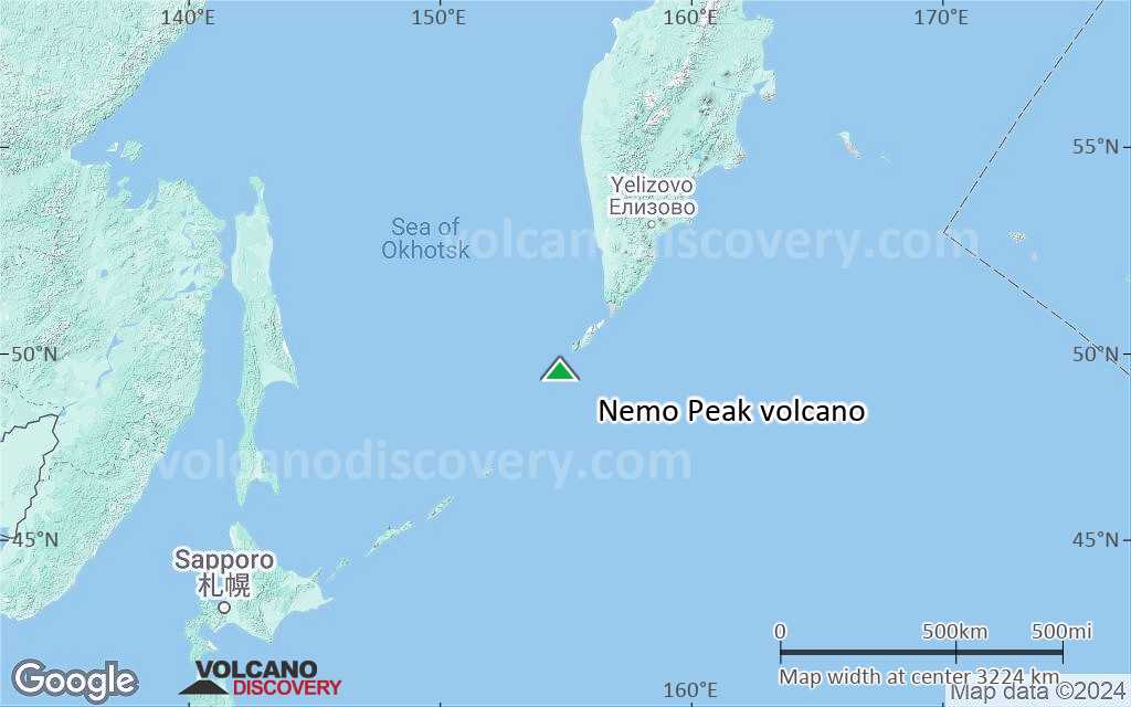
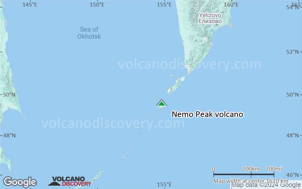
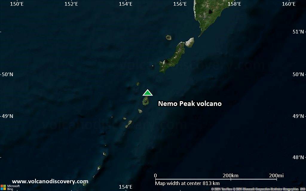
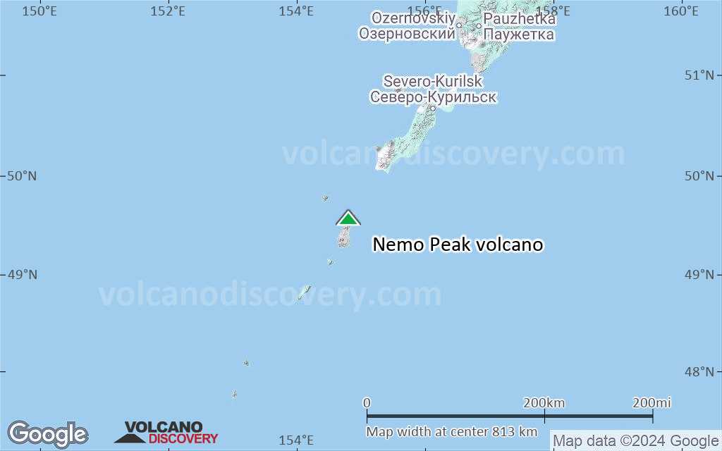
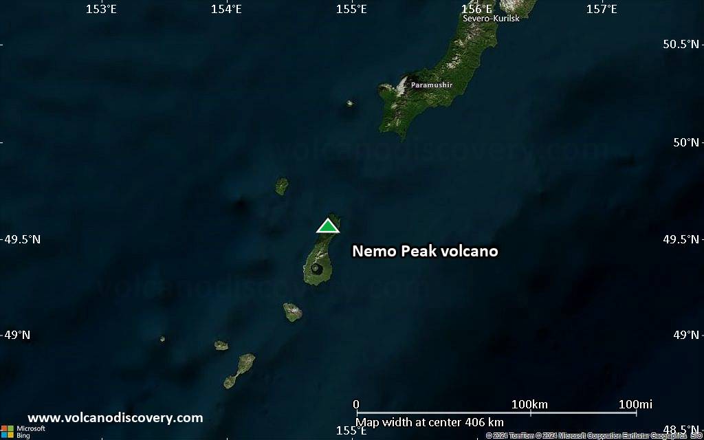
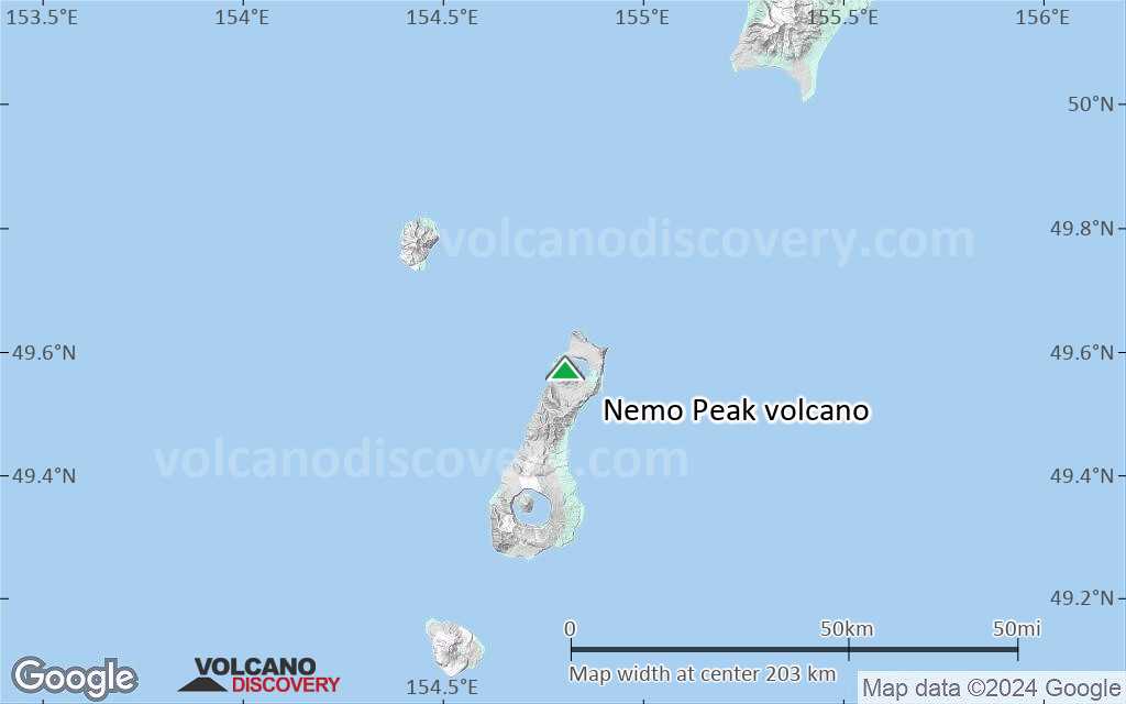
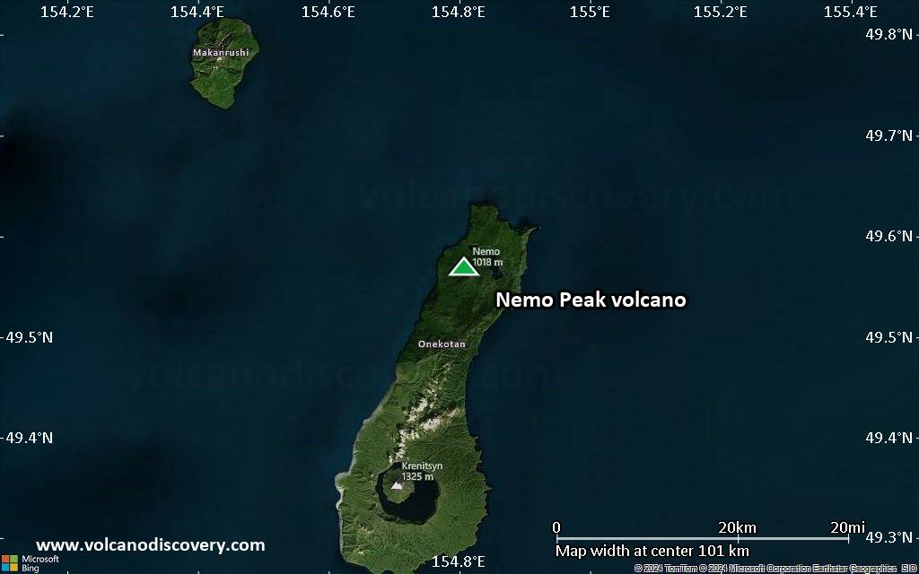
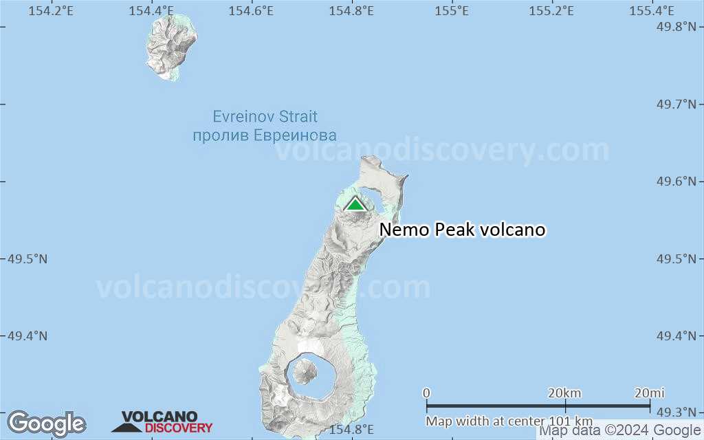
Nemo Peak volcano on the northern end of Onekotan Island in the northern Kurile Islands is a complex of 3 overlapping calderas and a young central cone, Nemo Peak, which has been active for about 9,500 years.
It has a 350 m wide summit crater filled by a lava dome with a 150 m wide crater itself. Nemo Peak has been historically active and observations date back to the early 18th century.

[smaller] [larger]
Typical eruption style: explosive
Nemo Peak volcano eruptions: 1938, 1932(?), 1906, 1710

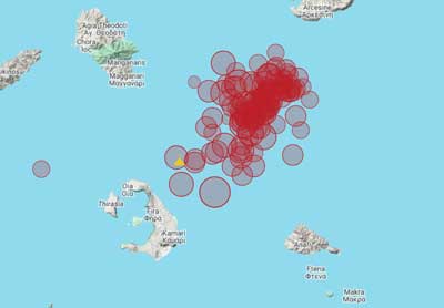
Latest nearby earthquakes

Date and TimeMag / DepthDistance / Location

Background

The pre-glacial edifice of Nemo Peak volcano is cut by 2 nested nested calderas, the larger measuring 10 km in diameter and reaching the northern coast of the island.
A third, younger caldera formed about 25,000 years ago and destroyed a summit cone that had grown above the older calderas.
Present-day Nemo Peak is composed of two coalescing andesitic cones that were constructed at the SW side of the youngest caldera beginning in the early Holocene about 9500 years ago.
As a result of the formation of the cone, the Chernoe Lake at the NE end of the caldera got its crescent-shape. Lava flows from Nemo Peak form the broad SW shoreline of the lake.
The recent activity is the formation of the summit lava dome and includes the historic activity of the volcano.
(Source: Smithsonian / GVP volcano information)

Significant volcanic eruptions: Nemo Peak volcano

In the past 10,000 years, Nemo Peak has had at least 11 confirmed volcanic eruptions, out of which 3 are documented by historical records, while the others can be inferred from geological evidence.
There is one uncertain or discredited eruption in 1932 from Nemo Peak volcano.
The table below lists all known eruptions (date in bold face) of Nemo Peak volcano in historic times and during the past 10,000 years. Updates on the most recent volcanic activity of Nemo Peak can be found on the news page of Nemo Peak volcano.
DateNoteVEIDeathsDamage
1938 Aug 12
Historical obs./docs.
2
?? 1932 ?
Uncertain Eruption
?
1906
Historical obs./docs.
2
1710 ±10 y.
Historical obs./docs.
2
1350 ? AD?
750 ? AD?
550 ±100 y. BC?
1850 ? BC?
3050 ? BC?
5550 ? BC?
7050 ? BC?
7550 ? BC?
Remark:
Our list of volcanic eruptions closely follows the database of eruptions of the Smithsonian's Global Volcanism Project (GVP), the internationally most recognized data source for volcanic eruptions, but also includes significant eruptive episodes or related volcano events. "Volcanic eruptions" are usually to be understood as sequences of individual eruptive episodes that can follow each other, or even overlap (if several vents are involved), and can last many years, decades or even longer. For example, the current activity of Stromboli volcano is understood as a single eruption that has been ongoing since 1934.
Sources: NOAA National Centers for Environmental Information (NCEI), Global Significant Volcanic Eruptions Database. doi:10.7289/V5TD9V7K | Global Volcanism Project / Smithsonian Institution

Nemo Peak Volcano FAQ

+When was the last eruption of Nemo Peak volcano?

+How often does Nemo Peak volcano erupt?

+How active is Nemo Peak volcano at present?

+When was the largest eruption of Nemo Peak volcano?

Latest satellite images

NemoPeak satellite image sat1NemoPeak satellite image sat2

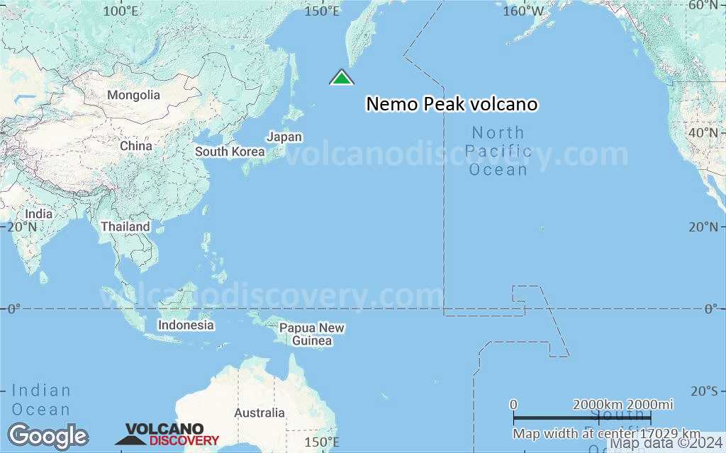
Nemo Peak Volcano Maps

Below is a selection of maps showing the location and surroundings of the volcano at various resolutions based on aerial-imagery / terrain maps. Feel free to use them for non-commercial purposes on your blog or website as long as you credit them with a link back to this page (click to copy it).
Satellite/aerial-type map of Nemo Peak volcano (world scale)
Terrain-type map of Nemo Peak volcano (world scale)
Satellite/aerial-type map of Nemo Peak volcano (region scale large)
Terrain-type map of Nemo Peak volcano (region scale large)
Satellite/aerial-type map of Nemo Peak volcano (region scale medium)
Terrain-type map of Nemo Peak volcano (region scale medium)
Satellite/aerial-type map of Nemo Peak volcano (region scale small)
Terrain-type map of Nemo Peak volcano (region scale small)
Satellite/aerial-type map of Nemo Peak volcano (local scale large)
Terrain-type map of Nemo Peak volcano (local scale large)
Satellite/aerial-type map of Nemo Peak volcano (local scale medium)
Terrain-type map of Nemo Peak volcano (local scale medium)
Satellite/aerial-type map of Nemo Peak volcano (local scale small)
Terrain-type map of Nemo Peak volcano (local scale small)
Satellite/aerial-type map of Nemo Peak volcano (scale of 10s of km)
Terrain-type map of Nemo Peak volcano (scale of 10s of km)
Satellite/aerial-type map of Nemo Peak volcano (scale of 20-40 km)
Terrain-type map of Nemo Peak volcano (scale of 20-40 km)
Satellite/aerial-type map of Nemo Peak volcano (scale of approx. 10-20 km)
Terrain-type map of Nemo Peak volcano (scale of approx. 10-20 km)
Satellite/aerial-type map of Nemo Peak volcano (scale of 5-10 km)
Satellite/aerial-type map of Nemo Peak volcano (scale of few kilometers)
Volcanoes & Earthquakes - new app for Android
Guaranteed tours
1-17 Aug 2025: Volcanoes and Spices - Sulawesi/Halmahera (Indonesia)
1-14 Oct 2025: Desert, salt and volcanoes - Danakil desert (Ethiopia)
4-12 Oct 2025: From Stromboli to Etna - Sicily and Eolian Islands (Italy)
6-21 Oct 2025: From Krakatau to Bali - Java (Indonesia)
3-19 Nov 2025: Volcanoes and Spices - Sulawesi/Halmahera (Indonesia)
= spaces available   = guaranteed   = few spaces left   = booked out

No news in this list.

On this page:

Try our free app!
Volcanoes & Earthquakes - new app for Android
Android | iOS version

More on VolcanoDiscovery

Why is there advertising on this site?

Support us - Help us upgrade our services!

We truly love working to bring you the latest volcano and earthquake data from around the world. Maintaining our website and our free apps does require, however, considerable time and resources.
We need financing to increase hard- and software capacity as well as support our editor team. We're aiming to achieve uninterrupted service wherever an earthquake or volcano eruption unfolds, and your donations can make it happen! Every donation will be highly appreciated. If you find the information useful and would like to support our team in integrating further features, write great content, and in upgrading our soft- and hardware, please make a donation (PayPal).

Planned features:Thanks to your past donations, these features have been added recently:
Download and Upgrade the Volcanoes & Earthquakes app to get one of the fastest seismic and volcano alerts online:
Android | IOS
Thank you!
Sources: VolcanoDiscovery / VolcanoAdventures and other sources as noted.
Use of material: Most text and images on our websites are owned by us. Re-use is generally not permitted without authorization. Contact us for licensing rights.
Volcanoes & Earthquakes
VolcanoDiscovery Home
Volcanoes | Earthquakes | Photos | Volcano News | | Shop | App
Adventure & Study Travel
Tours to Volcanoes and Volcanic Areas: walking tours, photo tours, study tours
Tours & Dates | FAQ | About us
Get our newsletter!
Company info
Contact | Legal info | Terms & conditions
Follow us
Follow us on facebook Follow us on Instagram Follow us on Bluesky Follow us on Twitter Visit our Youtube channel
EN | DE | EL | ES | FR | IT | RU
VolcanoDiscovery GmbH, Germany, Reg. nr.: HRB 103744, EU Tax Id: DE 297 465 123 owned and created by
Dr. Tom Pfeiffer, volcanologist, volcano photographer, tour organizer member of
IAVCEI
IAVCEI
Vulkanologische Gesellschaft
Volcanological Society
Ecotourism Greece
Ecotourism Greece
RUV insurance
Insured by R+V
VolcanoDiscovery © 2004- All Rights Reserved | Privacy - Cookie Settings