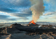
Paniri Volcano
Updated: Jun 11, 2025 01:19 GMT -
stratovolcano
Northern Chile, Bolivia and Argentina (South America), -22.08°S / -68.25°W 
Summit height: 5946 m / 19,508 ft
Current status: (probably) extinct (0 out of 5)
Paniri is a stratovolcano in northern Chile 26 km SE of San Pedro volcano. It has 3 craters. There are no recent eruptions, but the volcano possibly has been active during the past 10,000 years. Archeological remains have been found on its summit in 1972.
A magnitude 5.4 earthquake occurred at a depth of 106 km under the volcano on 1 Feburay 2008.
[smaller] [larger]
Paniri volcano eruptions: none in recent times
Latest nearby earthquakes
| Date and Time | Mag / Depth | Distance / Location | |||
|---|---|---|---|---|---|
Latest satellite images

Paniri Volcano Maps
Below is a selection of maps showing the location and surroundings of the volcano at various resolutions based on aerial-imagery / terrain maps. Feel free to use them for non-commercial purposes on your blog or website as long as you credit them with a link back to this page (click to copy it).
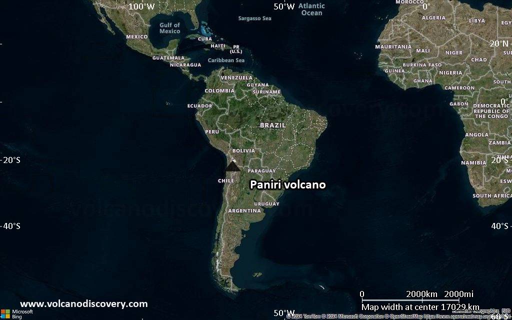
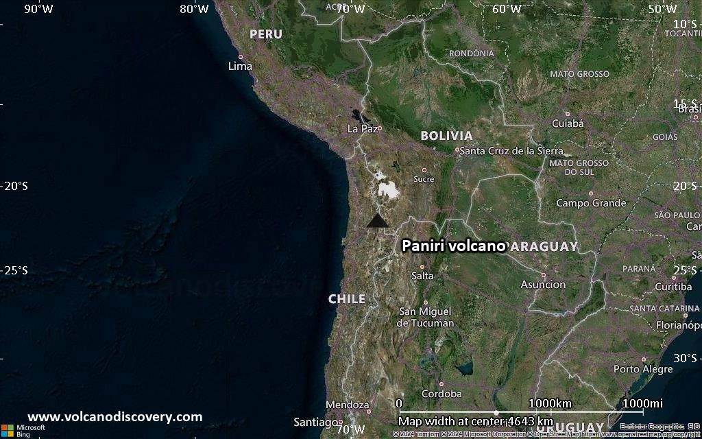
Satellite/aerial-type map of Paniri volcano (world scale)
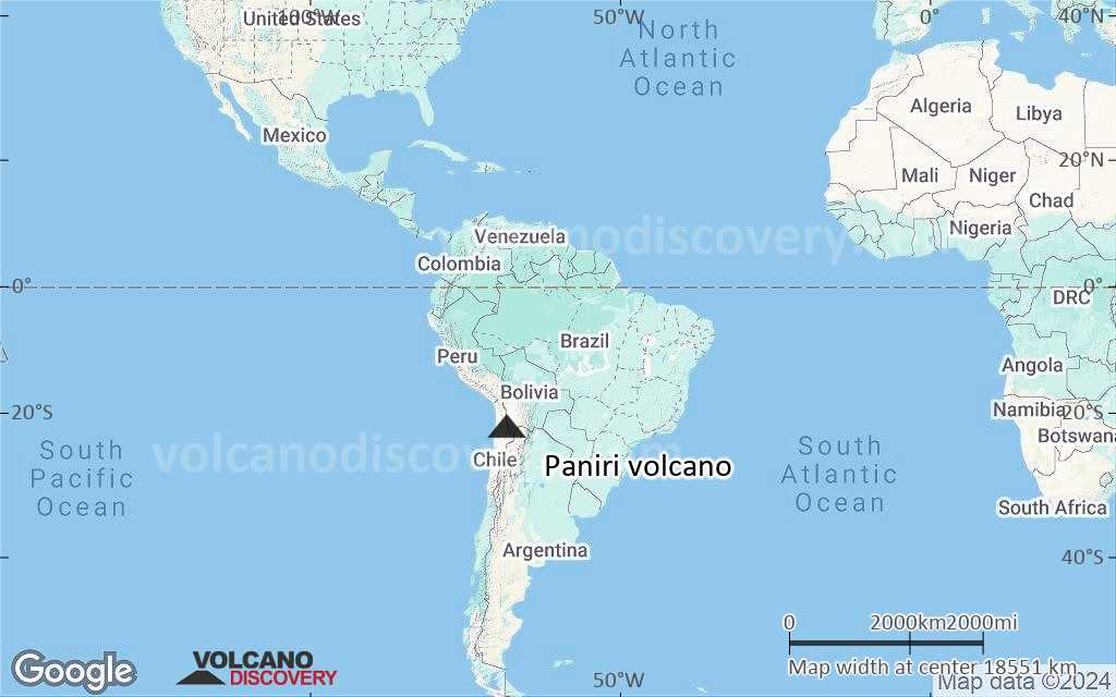
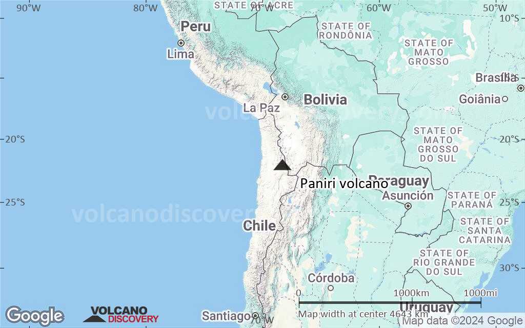
Terrain-type map of Paniri volcano (world scale)
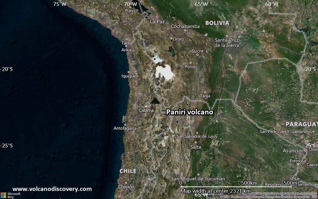
Satellite/aerial-type map of Paniri volcano (region scale large)
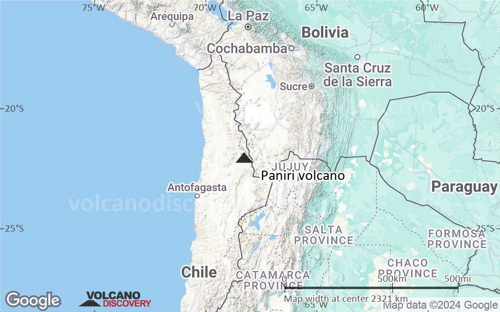
Terrain-type map of Paniri volcano (region scale large)
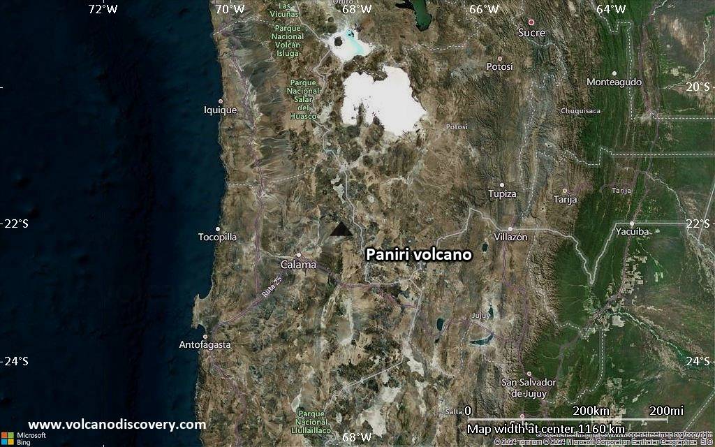
Satellite/aerial-type map of Paniri volcano (region scale medium)
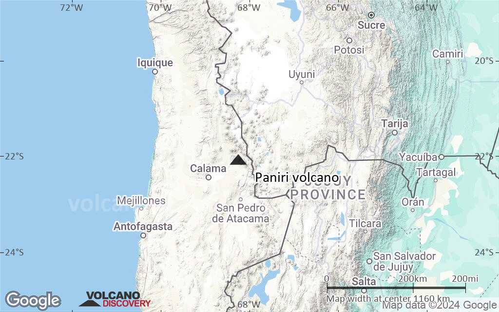
Terrain-type map of Paniri volcano (region scale medium)
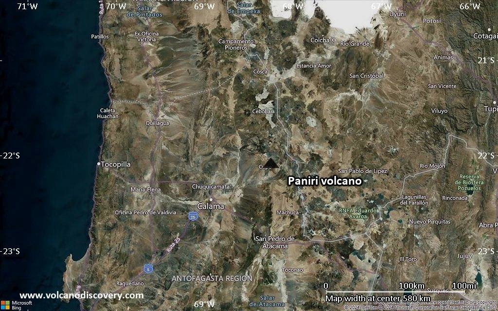
Satellite/aerial-type map of Paniri volcano (region scale small)
Terrain-type map of Paniri volcano (region scale small)
Satellite/aerial-type map of Paniri volcano (local scale large)

Terrain-type map of Paniri volcano (local scale large)

Satellite/aerial-type map of Paniri volcano (local scale medium)

Terrain-type map of Paniri volcano (local scale medium)

Satellite/aerial-type map of Paniri volcano (local scale small)

Terrain-type map of Paniri volcano (local scale small)

Satellite/aerial-type map of Paniri volcano (scale of 10s of km)

Terrain-type map of Paniri volcano (scale of 10s of km)

Satellite/aerial-type map of Paniri volcano (scale of 20-40 km)

Terrain-type map of Paniri volcano (scale of 20-40 km)

Satellite/aerial-type map of Paniri volcano (scale of approx. 10-20 km)

Terrain-type map of Paniri volcano (scale of approx. 10-20 km)
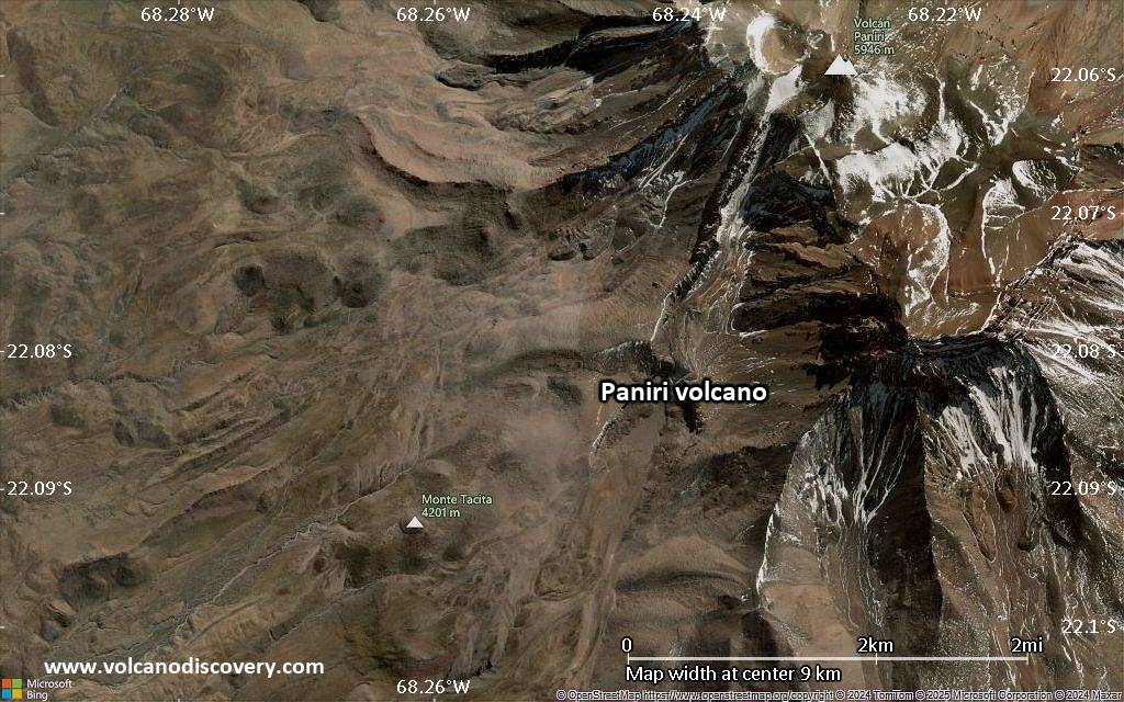
Satellite/aerial-type map of Paniri volcano (scale of 5-10 km)

Satellite/aerial-type map of Paniri volcano (scale of few kilometers)