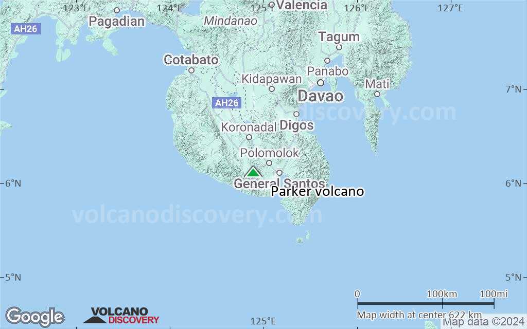
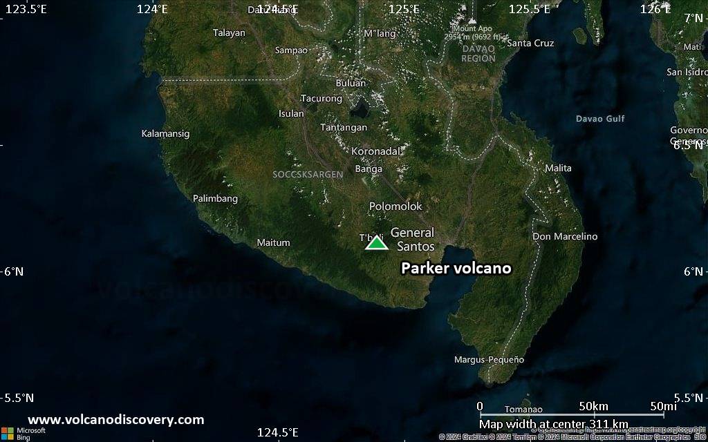
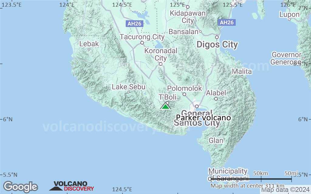
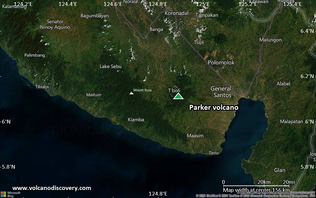
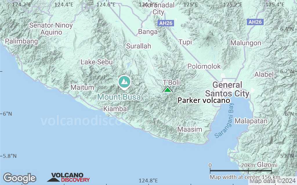
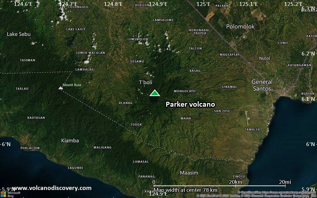
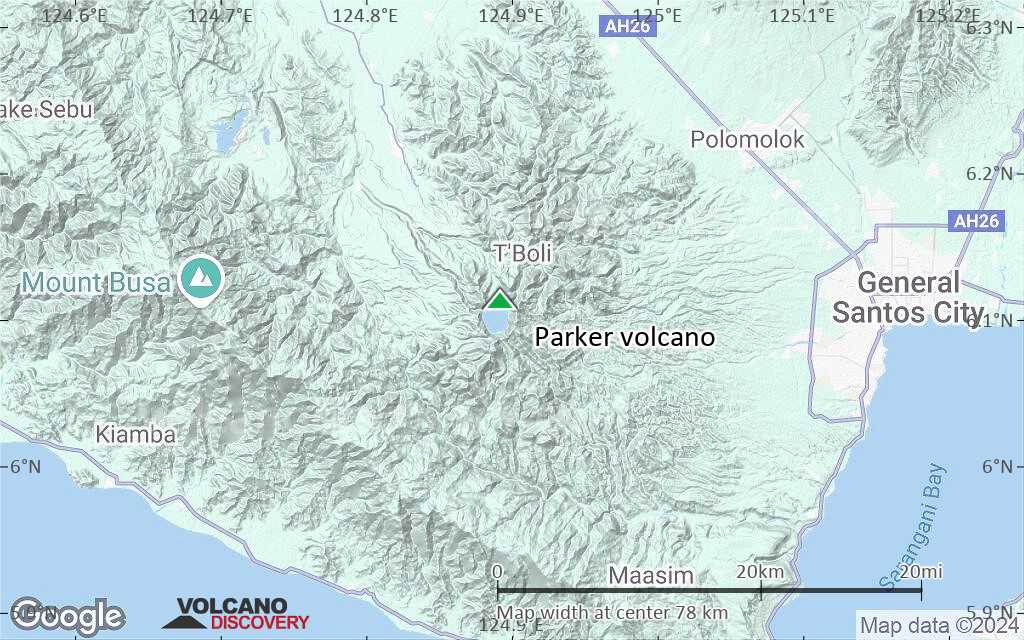
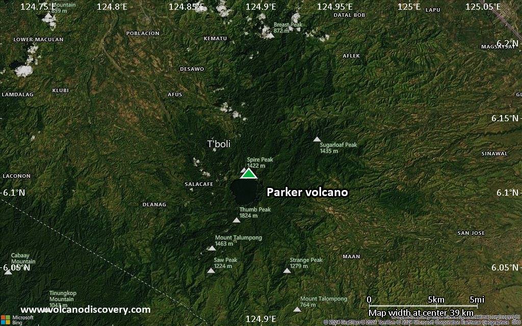
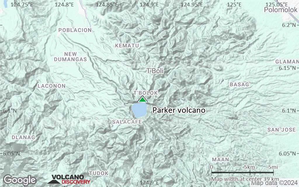
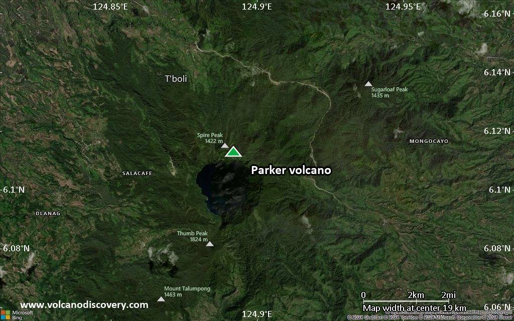
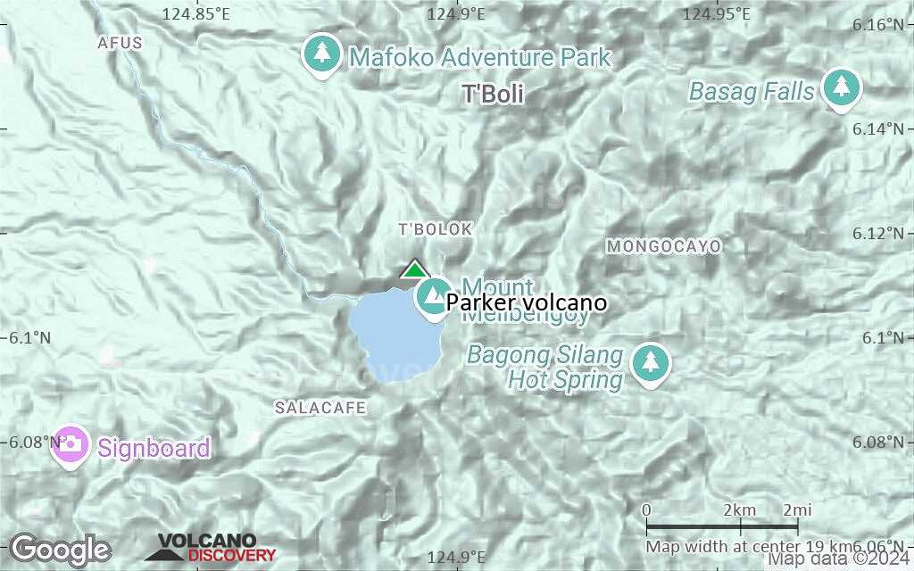
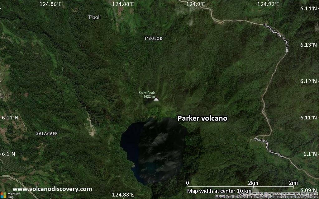
| RSS | EN | DE | EL | ES | FR | IT | RU

Parker Volcano

Updated: Aug 14, 2025 01:55 GMT -
stratovolcano
Mindanao (Philippines), 6.11°N / 124.89°E
Summit height: 1824 m / 5,984 ft
Current status: normal or dormant (1 out of 5)
Last update: 12 Dec 2021 (Smithsonian / USGS Weekly Volcanic Activity Report)

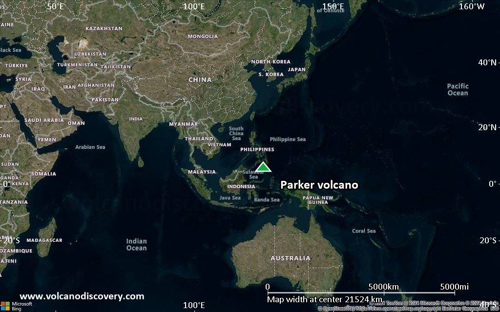
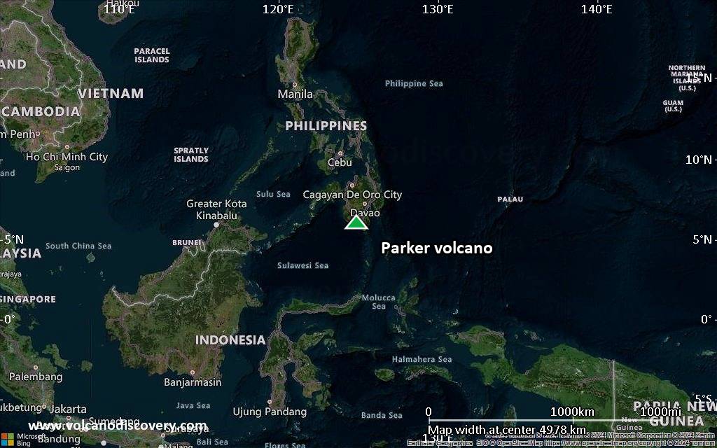
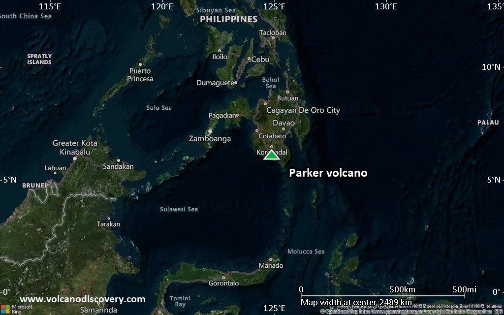
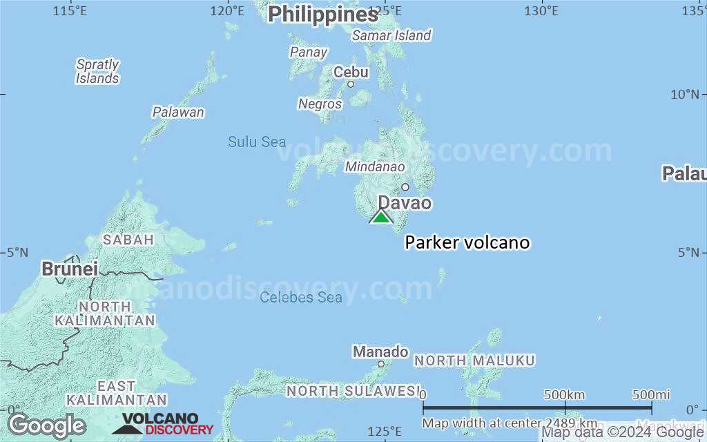
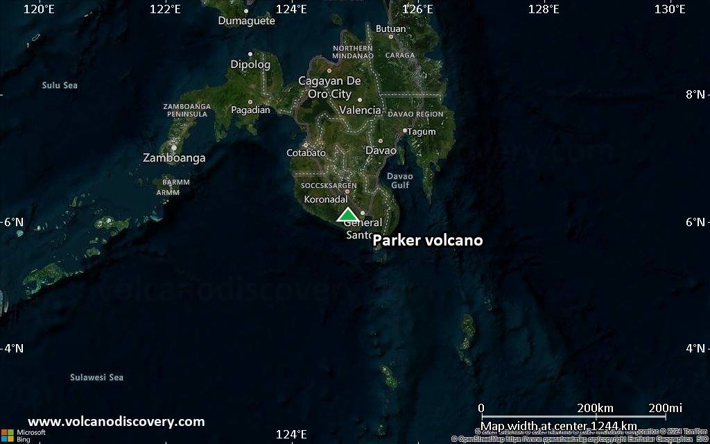
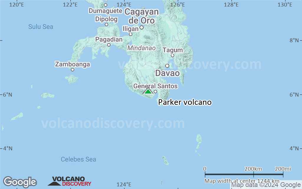
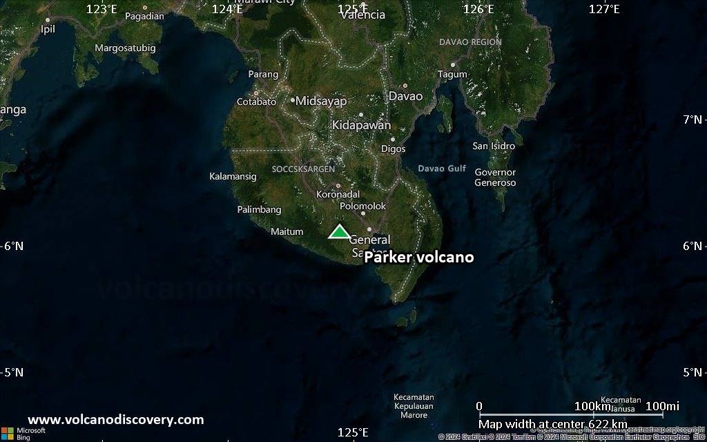
Parker volcano (also known as Falen locally) is a low, but steep-sided vegetated stratovolcano located 30 km west of General Santos City, near the southern tip of Mindanao Island, Philippines.
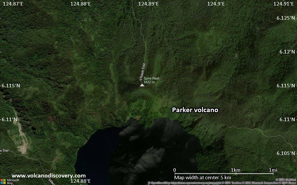
The andesitic-dacitic volcano contains a 2.9 km diameter summit caldera with a lake, Lake Maughan (2 km diameter).
Parker was recently identified as the source of a major explosive eruption in 1641, which caused devastating pyroclastic flows and lahars, and heavy ash fall and darkness over Mindanao Island. The 1641 eruption was one of 3 large explosions of Parker volcano within the past 3800 years. It created the present-day summit caldera.
The eruption style of Parker volcano is similar to Pinatubo volcano, which had a Plinian eruption in 1991.

[smaller] [larger]
Typical eruption style: highly explosive
Parker volcano eruptions: Dec 1640- Jan 1641 (plinian eruption), 1380 ± 75 years, 1920 BC ± 40 years

Latest nearby earthquakes

Date and TimeMag / DepthDistance / Location
Aug 7, 04:56 pm (GMT +8)
2.7

25 km
20 km (12 mi) to the SW Province of Sarangani, 43 km southwest of General Santos, Philippines Info

Significant volcanic eruptions: Parker volcano

In the past 10,000 years, Parker has had only one confirmed historic eruption during 1640 AD - 1641 AD, but at least 2 eruptions can be inferred from geological evidence.
The table below lists all known eruptions (date in bold face) of Parker volcano in historic times and during the past 10,000 years. Updates on the most recent volcanic activity of Parker can be found on the news page of Parker volcano.
DateNoteVEIDeathsDamage
1995 Sep 6
(eruptive episode 1995 Sep 6)
Historical obs./docs.
060
moderate
Info
1640 AD Dec 26 ±5 d. - 1641 Jan 4
Historical obs./docs.
5?
1380 ±75 y. AD4P
1920 ±40 y. BC4P
Remark:
Our list of volcanic eruptions closely follows the database of eruptions of the Smithsonian's Global Volcanism Project (GVP), the internationally most recognized data source for volcanic eruptions, but also includes significant eruptive episodes or related volcano events. "Volcanic eruptions" are usually to be understood as sequences of individual eruptive episodes that can follow each other, or even overlap (if several vents are involved), and can last many years, decades or even longer. For example, the current activity of Stromboli volcano is understood as a single eruption that has been ongoing since 1934.
Sources: NOAA National Centers for Environmental Information (NCEI), Global Significant Volcanic Eruptions Database. doi:10.7289/V5TD9V7K | Global Volcanism Project / Smithsonian Institution

Eruptions of Parker volcano


2002 earthquake & crater lake landslide
A magnitude 7.5 earthquake occurred near Parker volcano on 6 March 2002 and an eruption alarm was triggered. The quake caused a portion of the volcano's crater wall to breach and fall into Lake Maughan at the top of the volcano. The landslide caused a flood from the lake that washed away houses and about 33 families were evacuated from river banks below Lake Maughan.

Parker Volcano FAQ

+When was the last eruption of Parker volcano?

+How often does Parker volcano erupt?

+When was the largest eruption of Parker volcano?

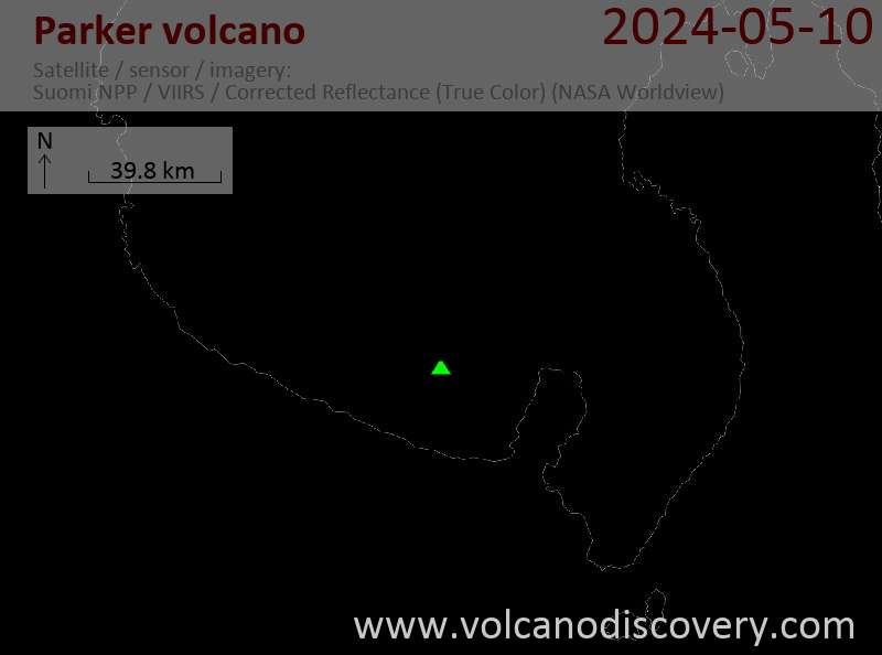
Latest satellite images
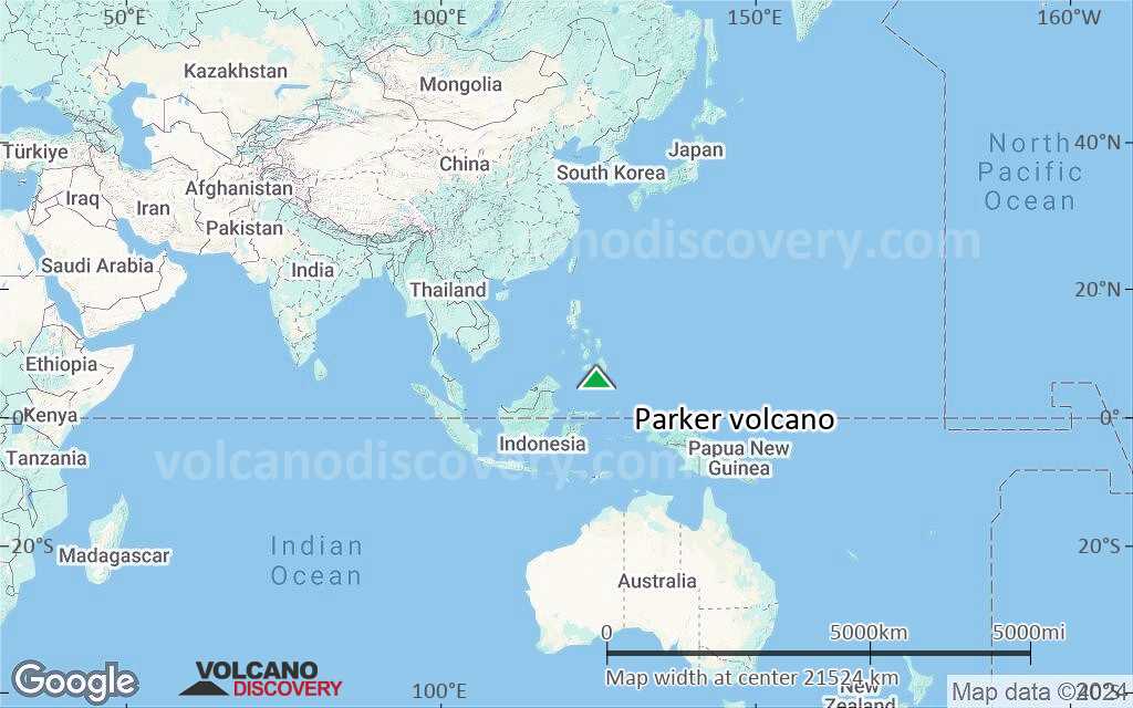
Parker satellite image sat1Parker satellite image sat2

Parker Volcano Maps

Below is a selection of maps showing the location and surroundings of the volcano at various resolutions based on aerial-imagery / terrain maps. Feel free to use them for non-commercial purposes on your blog or website as long as you credit them with a link back to this page (click to copy it).
Satellite/aerial-type map of Parker volcano (world scale)
Terrain-type map of Parker volcano (world scale)
Satellite/aerial-type map of Parker volcano (region scale large)
Terrain-type map of Parker volcano (region scale large)
Satellite/aerial-type map of Parker volcano (region scale medium)
Terrain-type map of Parker volcano (region scale medium)
Satellite/aerial-type map of Parker volcano (region scale small)
Terrain-type map of Parker volcano (region scale small)
Satellite/aerial-type map of Parker volcano (local scale large)
Terrain-type map of Parker volcano (local scale large)
Satellite/aerial-type map of Parker volcano (local scale medium)
Terrain-type map of Parker volcano (local scale medium)
Satellite/aerial-type map of Parker volcano (local scale small)
Terrain-type map of Parker volcano (local scale small)
Satellite/aerial-type map of Parker volcano (scale of 10s of km)
Terrain-type map of Parker volcano (scale of 10s of km)
Satellite/aerial-type map of Parker volcano (scale of 20-40 km)
Terrain-type map of Parker volcano (scale of 20-40 km)
Satellite/aerial-type map of Parker volcano (scale of approx. 10-20 km)
Terrain-type map of Parker volcano (scale of approx. 10-20 km)
Satellite/aerial-type map of Parker volcano (scale of 5-10 km)
Satellite/aerial-type map of Parker volcano (scale of few kilometers)
Volcanoes & Earthquakes - new app for Android
Guaranteed tours
1-14 Oct 2025: Desert, salt and volcanoes - Danakil desert (Ethiopia)
4-12 Oct 2025: From Stromboli to Etna - Sicily and Eolian Islands (Italy)
6-21 Oct 2025: From Krakatau to Bali - Java (Indonesia)
3-19 Nov 2025: Volcanoes and Spices - Sulawesi/Halmahera (Indonesia)
9-19 Nov 2025: Guatemala Volcano Special - Guatemala
= spaces available   = guaranteed   = few spaces left   = booked out
Wed, 6 Mar 2002, 06:00

Parker volcano (Mindanao, Philippines) - Smithsonian / USGS Weekly Volcanic Activity Report for 6 March-12 March 2002 (New Activity / Unrest)

PHIVOLCS staff dispelled concerns that Parker might erupt after a M 7.5 earthquake (according to the US Geological Survey NEIC) occurred near the volcano on 6 March at 0516. According to news articles, tremor caused a portion of the volcano's crater wall to breach and fall into Lake Maughan atop the volcano. Articles also stated that tons of water that were released from the lake washed away houses and about 33 families were evacuated from river banks below Lake Maughan due to fears that more of the lake would overflow. ... Read all

On this page:

Try our free app!
Volcanoes & Earthquakes - new app for Android
Android | iOS version

More on VolcanoDiscovery

Why is there advertising on this site?

Support Us – Help Us Enhance Our Services!

We’re passionate about delivering the latest volcano and earthquake data from around the globe — just for you. However, maintaining our website and free apps requires significant time, effort, and resources.
Your support helps us expand our hardware and software capabilities and empowers our dedicated editorial team. Our mission is to provide uninterrupted, real-time updates whenever an earthquake strikes or a volcano erupts — and your donations make this possible. Every contribution, big or small, is deeply appreciated. If you find our information valuable and want to help us add new features, create compelling content, and improve our technology, please consider making a donation:

Donate with Card or Apple/Google Pay:

Send €5 payment link to support VolcanoDiscovery with 5 EUR
€10 payment link to support VolcanoDiscovery with 10 EUR
€25 payment link to support VolcanoDiscovery with 25 EUR
€50 payment link to support VolcanoDiscovery with 50 EUR
€100 payment link to support VolcanoDiscovery with 100 EUR
€250 payment link to support VolcanoDiscovery with 250 EUR

Donate with PayPal:

Planned Features:

Thanks to your past donations, we have recently added:
Download the Volcanoes & Earthquakes app to stay among the first to receive the fastest seismic and volcano alerts online:
Android | iOS
Thank you for being part of our mission!
Sources: VolcanoDiscovery / VolcanoAdventures and other sources as noted.
Use of material: Most text and images on our websites are owned by us. Re-use is generally not permitted without authorization. Contact us for licensing rights.
Volcanoes & Earthquakes
VolcanoDiscovery Home
Volcanoes | Earthquakes | Photos | Volcano News | | Shop | App
Adventure & Study Travel
Tours to Volcanoes and Volcanic Areas: walking tours, photo tours, study tours
Tours & Dates | FAQ | About us
Get our newsletter!
Company info
Contact | Legal info | Terms & conditions
Follow us
Follow us on facebook Follow us on Instagram Follow us on Bluesky Follow us on Twitter Visit our Youtube channel
EN | DE | EL | ES | FR | IT | RU
VolcanoDiscovery GmbH, Germany, Reg. nr.: HRB 103744, EU Tax Id: DE 297 465 123 owned and created by
Dr. Tom Pfeiffer, volcanologist, volcano photographer, tour organizer member of
IAVCEI
IAVCEI
Vulkanologische Gesellschaft
Volcanological Society
Ecotourism Greece
Ecotourism Greece
RUV insurance
Insured by R+V
VolcanoDiscovery © 2004- All Rights Reserved | Privacy - Cookie Settings