


Qualibou Volcano
Updated: Oct 25, 2025 21:45 GMT -
Caldera
West Indies, St. Lucia, 13.83°N / -61.05°W 
Summit height: 777 m / 2,549 ft
Current status: normal or dormant (1 out of 5)
[smaller] [larger]
Qualibou volcano eruptions: 1766
Latest nearby earthquakes
| Date and Time | Mag / Depth | Distance / Location | |||
|---|---|---|---|---|---|
Background
The Qualibou caldera on the SW side of St. Lucia provides the setting for the Pitons, two steep-sided pre-caldera lava domes that form one of the scenic highlights of the West Indies. The 3.5 x 5-km-wide Qualibou caldera formed about 32-39,000 years ago in conjunction with the eruption of the Choiseul Tuff. A larger depression has been interpreted to have formed by edifice collapse, and bathymetry has identified large submarine debris-avalanche deposits off the west coast of the island. This depression and associated volcanic vents and geothermal areas is also known as the Soufrière volcanic centre. Numerous resurgent post-caldera lava domes fill the caldera floor. The latest dated magmatic eruptions took place about 20,000 years ago, but younger undated lava domes and explosion craters are present. The only known Holocene eruptive activity was a minor phreatic eruption in the Sulfur Springs geothermal area in 1766 AD that ejected a thin ash layer over a wide area. A volcanic earthquake swarm centered 6 km ESE of the caldera occurred in 1990.---
Smithsonian / GVP volcano information
Significant volcanic eruptions: Qualibou volcano
In the past 10,000 years, Qualibou has had only one confirmed historic eruption in 1766.
The table below lists all known eruptions (date in bold face) of Qualibou volcano in historic times and during the past 10,000 years. Updates on the most recent volcanic activity of Qualibou can be found on the news page of Qualibou volcano.
| Date | Note | VEI | Deaths | Damage | |
|---|---|---|---|---|---|
| Sulphur Springs area Historical obs./docs. | 1 | ||||
Remark:
Our list of volcanic eruptions closely follows the database of eruptions of the Smithsonian's Global Volcanism Project (GVP), the internationally most recognized data source for volcanic eruptions, but also includes significant eruptive episodes or related volcano events. "Volcanic eruptions" are usually to be understood as sequences of individual eruptive episodes that can follow each other, or even overlap (if several vents are involved), and can last many years, decades or even longer. For example, the current activity of Stromboli volcano is understood as a single eruption that has been ongoing since 1934.
Sources: NOAA National Centers for Environmental Information (NCEI), Global Significant Volcanic Eruptions Database. doi:10.7289/V5TD9V7K | Global Volcanism Project / Smithsonian Institution
Qualibou Volcano FAQ
+When was the last eruption of Qualibou volcano?
The last confirmed eruption of Qualibou occurred in 1766.
+How often does Qualibou volcano erupt?
Since 1766, Qualibou volcano has had at least 1 historically documented eruptions. This means that it erupts on average every 259 years.
+When was the largest eruption of Qualibou volcano?
The largest eruption of Qualibou volcano in historic times occurred in 1766. It only has a VEI (Volcanic Explosivity Index) of 1, likely because it was a mainly effusive eruption generating lava flows but very little ash.
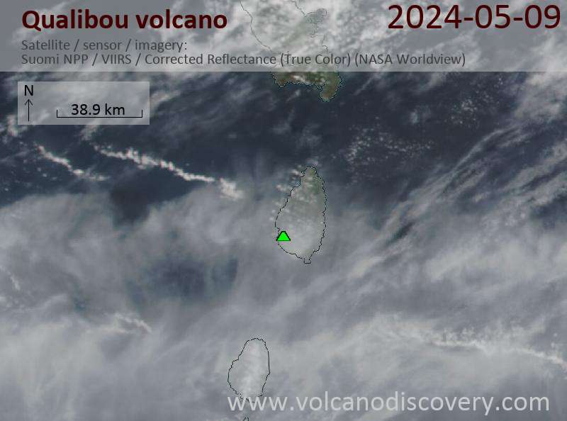
Latest satellite images
Qualibou Volcano Maps
Below is a selection of maps showing the location and surroundings of the volcano at various resolutions based on aerial-imagery / terrain maps. Feel free to use them for non-commercial purposes on your blog or website as long as you credit them with a link back to this page (click to copy it).
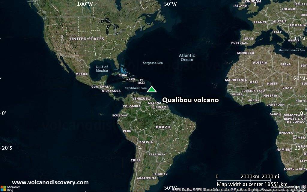
Satellite/aerial-type map of Qualibou volcano (world scale)
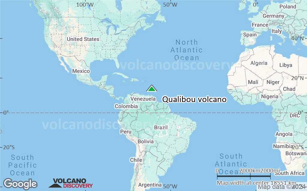
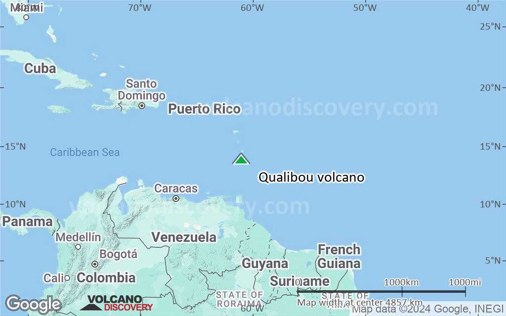
Terrain-type map of Qualibou volcano (world scale)
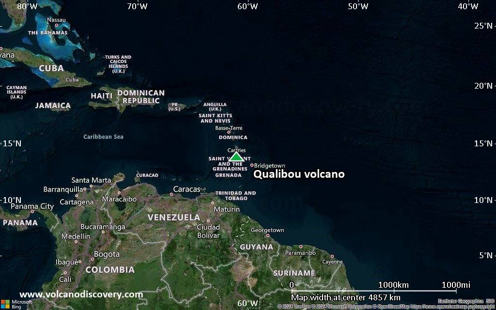
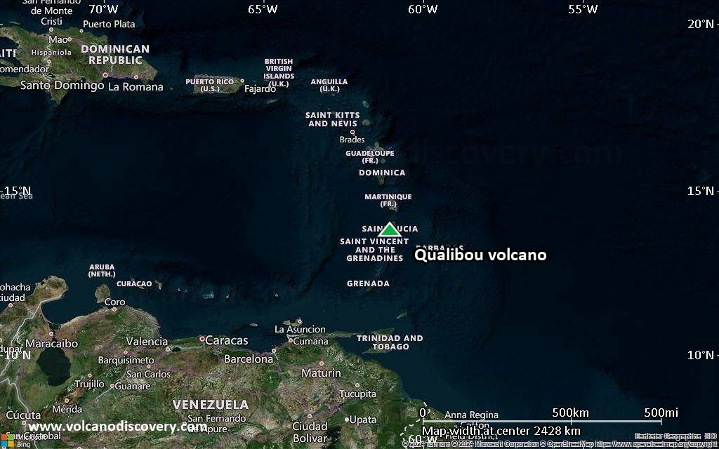
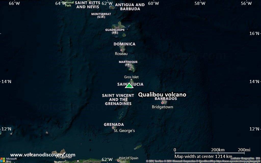
Satellite/aerial-type map of Qualibou volcano (region scale large)
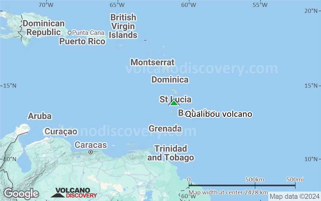
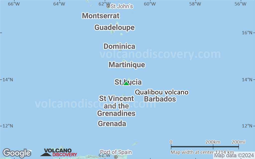
Terrain-type map of Qualibou volcano (region scale large)
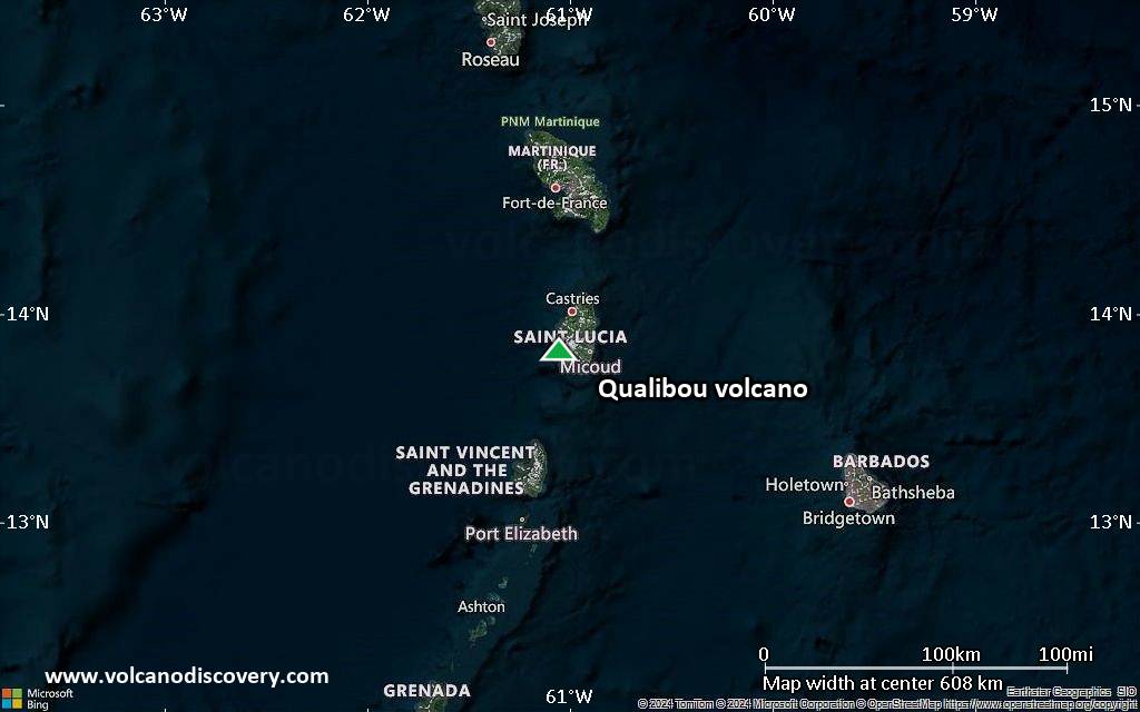
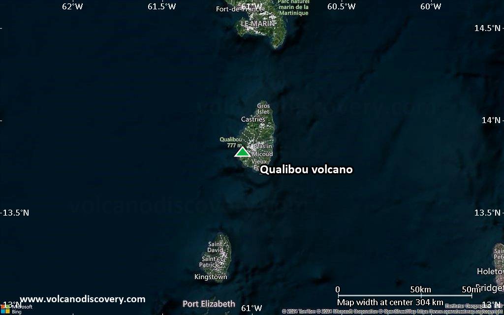
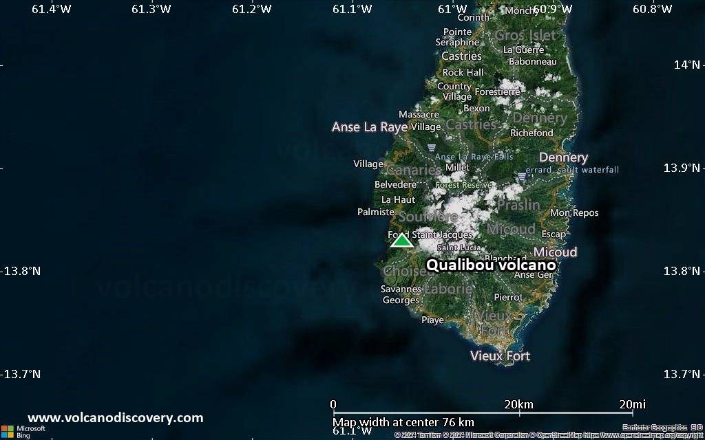
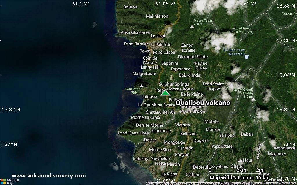
Satellite/aerial-type map of Qualibou volcano (region scale medium)
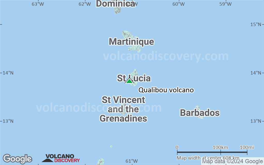
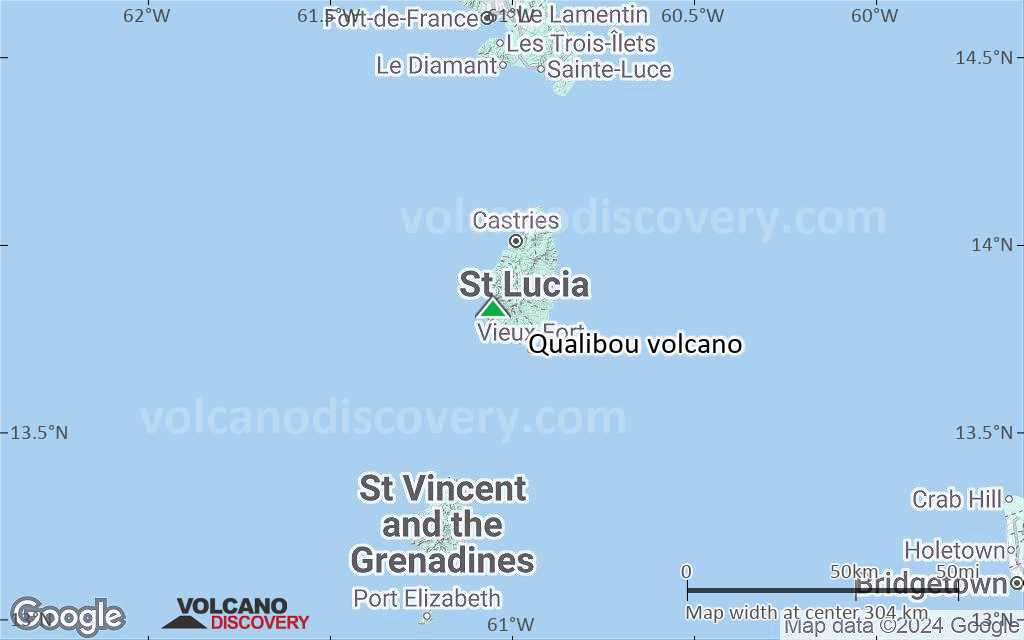
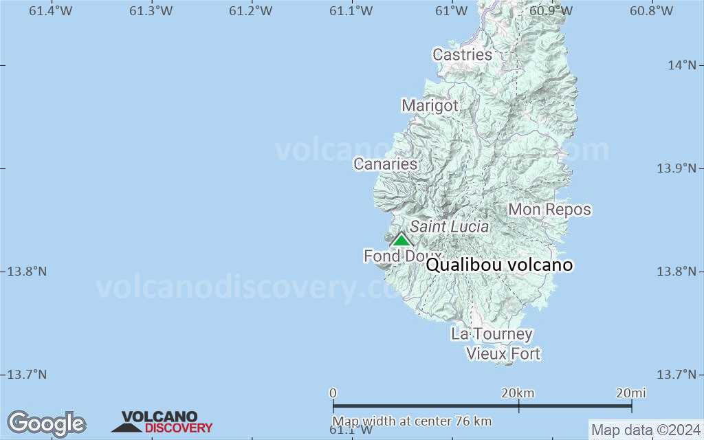
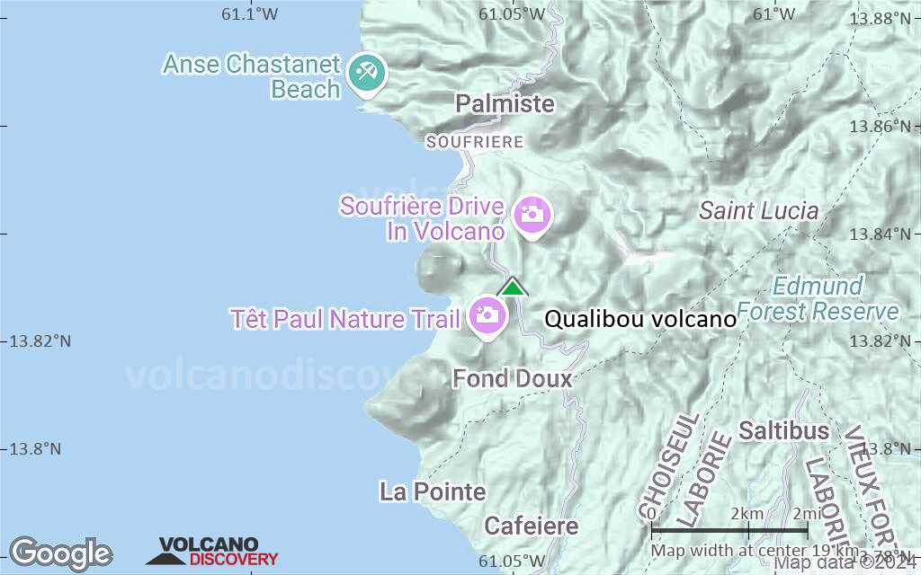
Terrain-type map of Qualibou volcano (region scale medium)
Satellite/aerial-type map of Qualibou volcano (region scale small)
Terrain-type map of Qualibou volcano (region scale small)
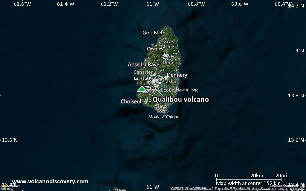
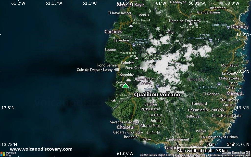
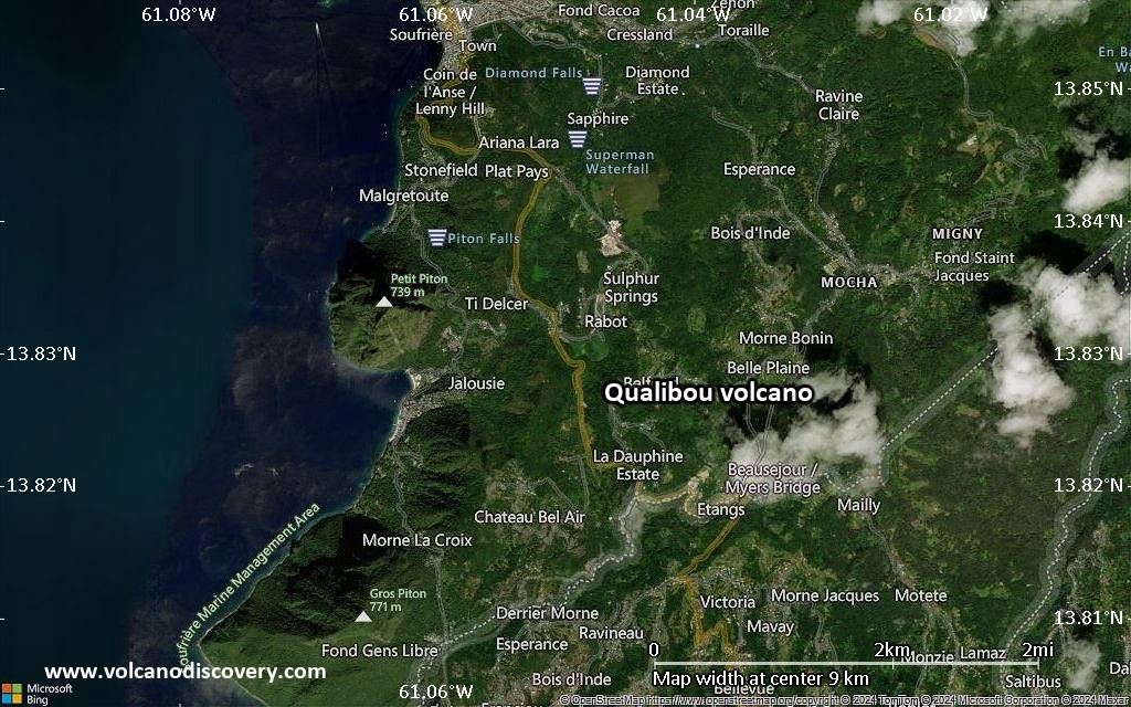
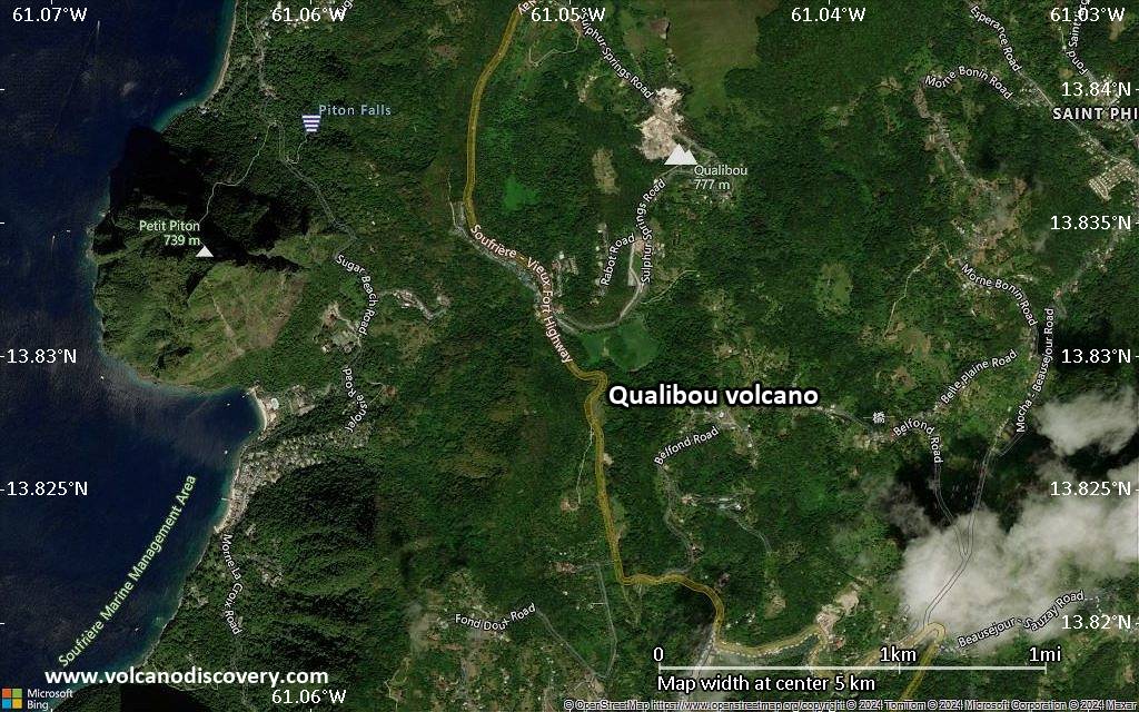
Satellite/aerial-type map of Qualibou volcano (local scale large)
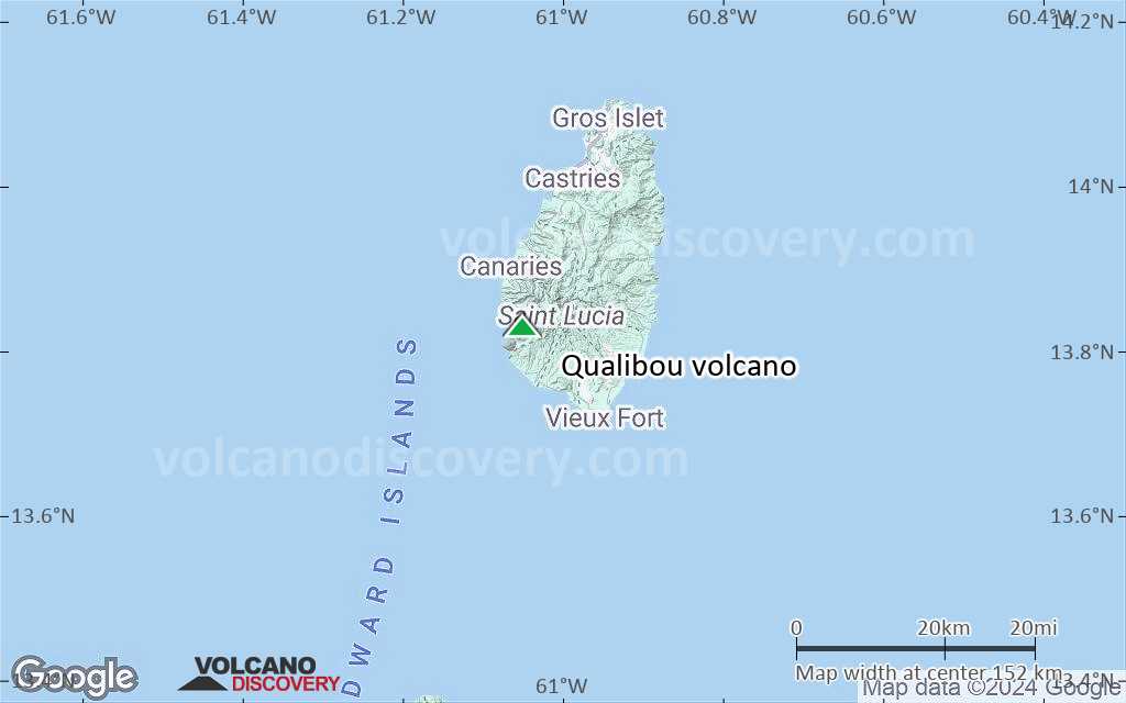
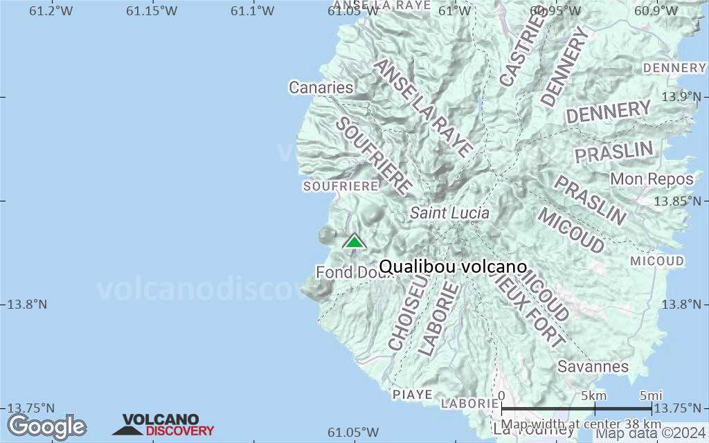
Terrain-type map of Qualibou volcano (local scale large)
Satellite/aerial-type map of Qualibou volcano (local scale medium)
Terrain-type map of Qualibou volcano (local scale medium)
Satellite/aerial-type map of Qualibou volcano (local scale small)
Terrain-type map of Qualibou volcano (local scale small)
Satellite/aerial-type map of Qualibou volcano (scale of 10s of km)
Terrain-type map of Qualibou volcano (scale of 10s of km)
Satellite/aerial-type map of Qualibou volcano (scale of 20-40 km)
Terrain-type map of Qualibou volcano (scale of 20-40 km)
Satellite/aerial-type map of Qualibou volcano (scale of approx. 10-20 km)
Terrain-type map of Qualibou volcano (scale of approx. 10-20 km)
Satellite/aerial-type map of Qualibou volcano (scale of 5-10 km)
Satellite/aerial-type map of Qualibou volcano (scale of few kilometers)


