Quesnel Cone Group Volcano
Updated: Jul 5, 2025 11:43 GMT -
Pyroclastic cone(s)
Canada, 52.5°N / -121.17°W 
Summit height: 1646 m / 5400 ft
Current status: (probably) extinct (0 out of 5)
[smaller] [larger]
Quesnel Cone Group volcano eruptions: None during the past 10,000 years
Less than few million years ago (Pleistocene)
Latest nearby earthquakes
| Date and Time | Mag / Depth | Distance / Location | |||
|---|---|---|---|---|---|
Background
A group of pyroclastic cones of Pliocene to Quaternary age are located near Quesnel Lake. The Abbott Creek Cone, about 6.5 km N of Quesnel Lake, was given an Ar-Ar age of 180 ka by Kuehn et al. (2015), confirming the Quaternary activity. However, another outcrop thought to be Quaternary yielded a Jurassic Ar-Ar age (Kuehn et al., 2015).---
Source: Smithsonian / GVP volcano information
Latest satellite images
Quesnel Cone Group Volcano Maps
Below is a selection of maps showing the location and surroundings of the volcano at various resolutions based on aerial-imagery / terrain maps. Feel free to use them for non-commercial purposes on your blog or website as long as you credit them with a link back to this page (click to copy it).
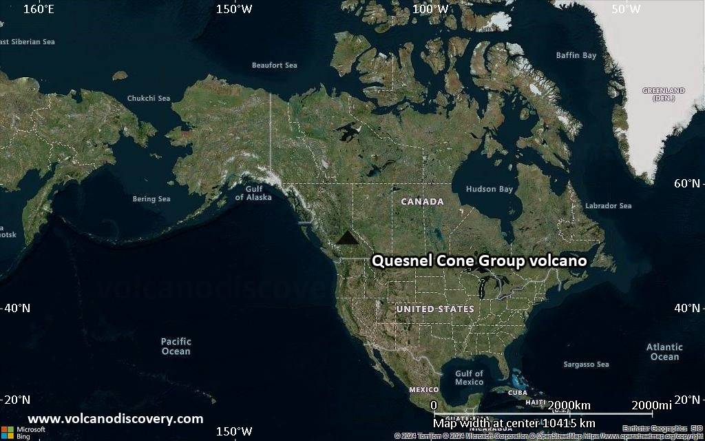
Satellite/aerial-type map of Quesnel Cone Group volcano (world scale)
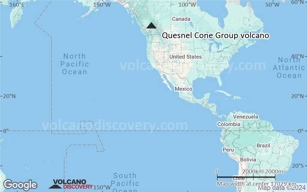
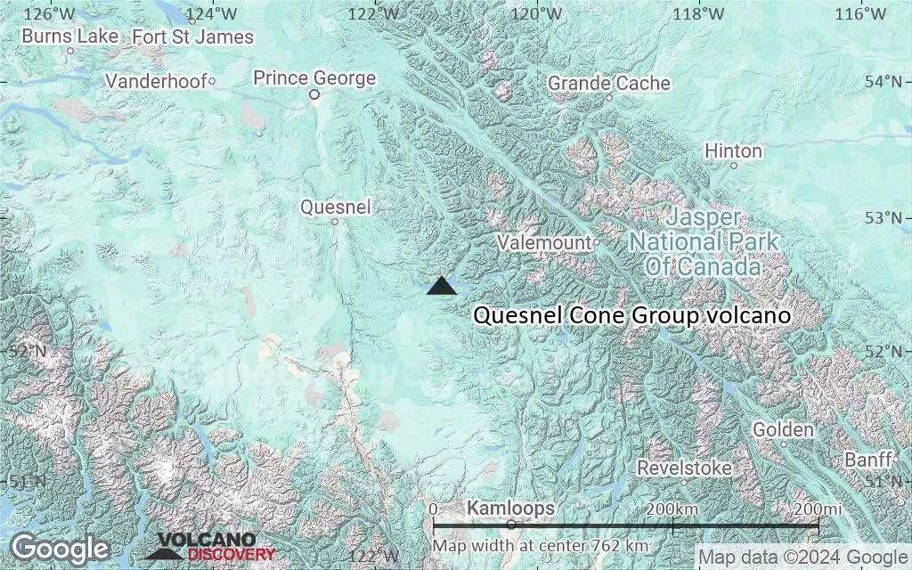
Terrain-type map of Quesnel Cone Group volcano (world scale)
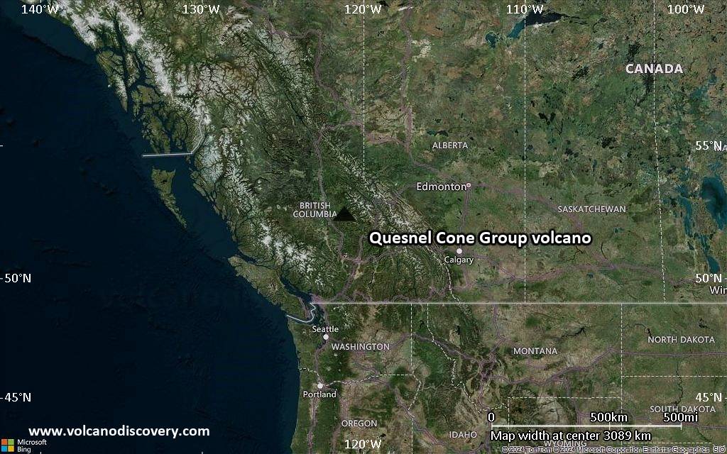
Satellite/aerial-type map of Quesnel Cone Group volcano (region scale large)
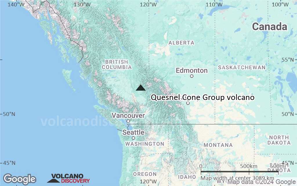
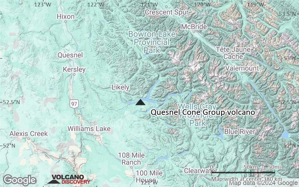
Terrain-type map of Quesnel Cone Group volcano (region scale large)

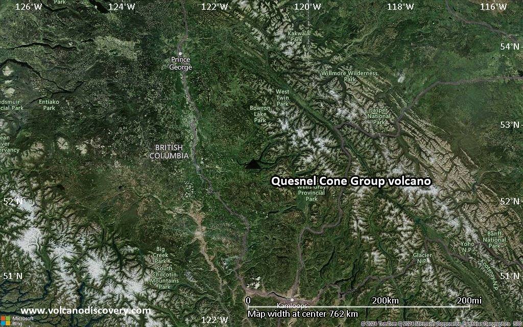
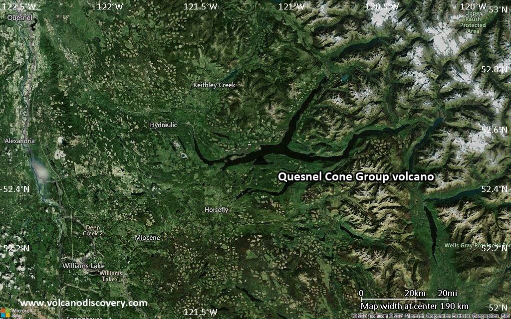
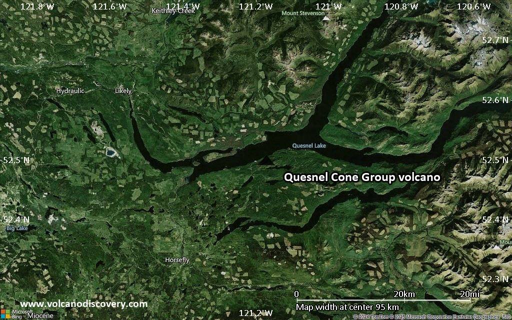
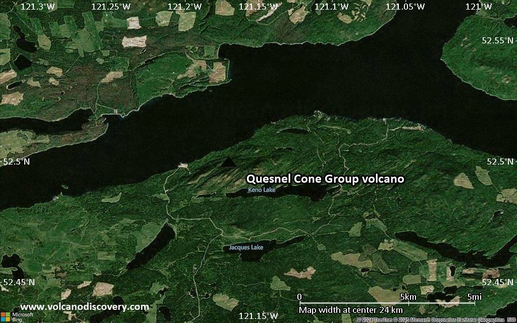
Satellite/aerial-type map of Quesnel Cone Group volcano (region scale medium)

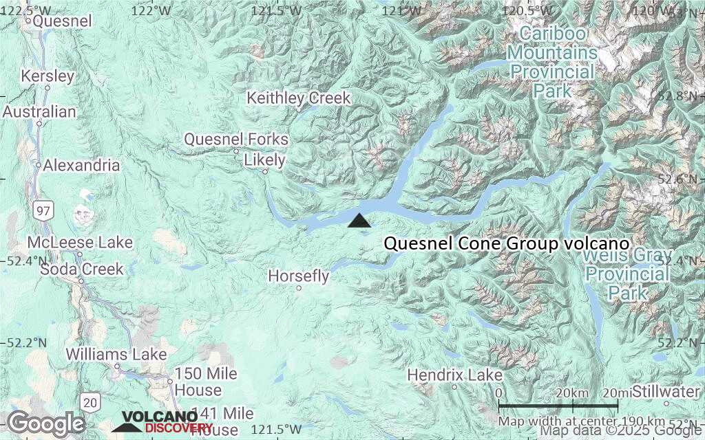
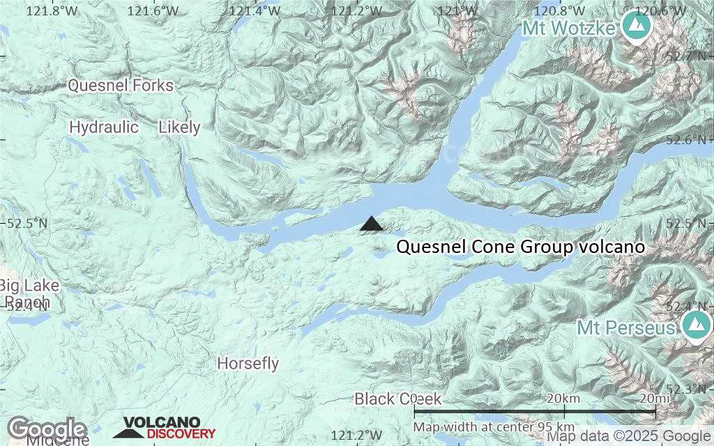
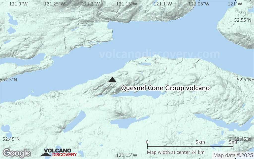
Terrain-type map of Quesnel Cone Group volcano (region scale medium)
Satellite/aerial-type map of Quesnel Cone Group volcano (region scale small)
Terrain-type map of Quesnel Cone Group volcano (region scale small)

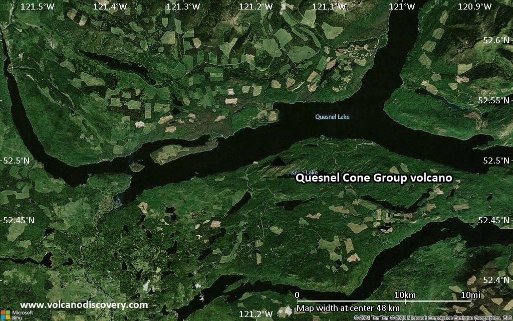
Satellite/aerial-type map of Quesnel Cone Group volcano (local scale large)
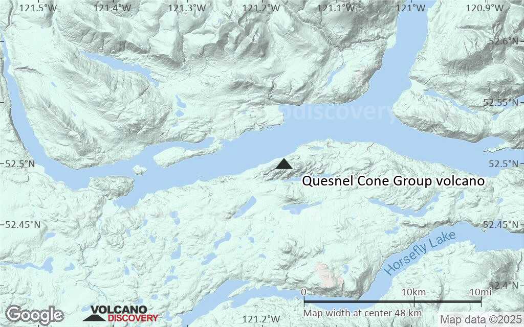
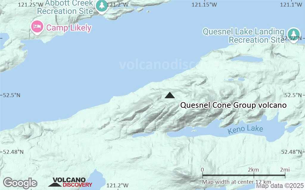
Terrain-type map of Quesnel Cone Group volcano (local scale large)
Satellite/aerial-type map of Quesnel Cone Group volcano (local scale medium)
Terrain-type map of Quesnel Cone Group volcano (local scale medium)
Satellite/aerial-type map of Quesnel Cone Group volcano (local scale small)
Terrain-type map of Quesnel Cone Group volcano (local scale small)
Satellite/aerial-type map of Quesnel Cone Group volcano (scale of 10s of km)
Terrain-type map of Quesnel Cone Group volcano (scale of 10s of km)
Satellite/aerial-type map of Quesnel Cone Group volcano (scale of 20-40 km)
Terrain-type map of Quesnel Cone Group volcano (scale of 20-40 km)

Satellite/aerial-type map of Quesnel Cone Group volcano (scale of approx. 10-20 km)
Terrain-type map of Quesnel Cone Group volcano (scale of approx. 10-20 km)

Satellite/aerial-type map of Quesnel Cone Group volcano (scale of 5-10 km)

Satellite/aerial-type map of Quesnel Cone Group volcano (scale of few kilometers)