Silverthrone Volcano
Updated: Aug 31, 2025 11:33 GMT -
caldera
Canada, 51.43°N / -126.3°W 
Summit height: 3160 m / 10,367 ft
Current status: normal or dormant (1 out of 5)
Silverthrone is a large volcanic complex with a 20 km wide dissected caldera located in SW British Columbia NW of the head of Knight Inlet, Canada.
[smaller] [larger]
Silverthrone volcano eruptions: 12,200 ± 140 BP
Latest nearby earthquakes
| Date and Time | Mag / Depth | Distance / Location | |||
|---|---|---|---|---|---|
Background
The Silverthrone complex contains rhyolitic, dacitic and andesitic lava domes, flows and breccia. Most of the complex appears to have been erupted between 0.1 and 0.5 million years ago, but some andesitic and basaltic-andesite cones and lava flows seem to be younger than the ice age. A radiocarbon date from barnacles 8.5 km upstream from the mouth of Machmel River and buried by the flow yielded an age of 12,200 +/- 140 years. This is a maximum age for the flow, which could be much younger according to recent studies.---
Source: GVP volcano information
Latest satellite images
Silverthrone Volcano Maps
Below is a selection of maps showing the location and surroundings of the volcano at various resolutions based on aerial-imagery / terrain maps. Feel free to use them for non-commercial purposes on your blog or website as long as you credit them with a link back to this page (click to copy it).

Satellite/aerial-type map of Silverthrone volcano (world scale)

Terrain-type map of Silverthrone volcano (world scale)
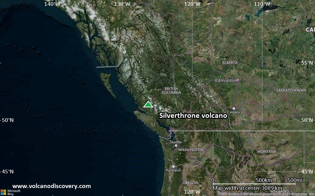
Satellite/aerial-type map of Silverthrone volcano (region scale large)

Terrain-type map of Silverthrone volcano (region scale large)

Satellite/aerial-type map of Silverthrone volcano (region scale medium)

Terrain-type map of Silverthrone volcano (region scale medium)

Satellite/aerial-type map of Silverthrone volcano (region scale small)
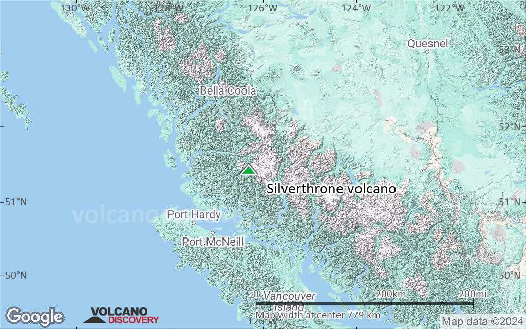
Terrain-type map of Silverthrone volcano (region scale small)

Satellite/aerial-type map of Silverthrone volcano (local scale large)

Terrain-type map of Silverthrone volcano (local scale large)

Satellite/aerial-type map of Silverthrone volcano (local scale medium)

Terrain-type map of Silverthrone volcano (local scale medium)

Satellite/aerial-type map of Silverthrone volcano (local scale small)

Terrain-type map of Silverthrone volcano (local scale small)

Satellite/aerial-type map of Silverthrone volcano (scale of 10s of km)

Terrain-type map of Silverthrone volcano (scale of 10s of km)

Satellite/aerial-type map of Silverthrone volcano (scale of 20-40 km)
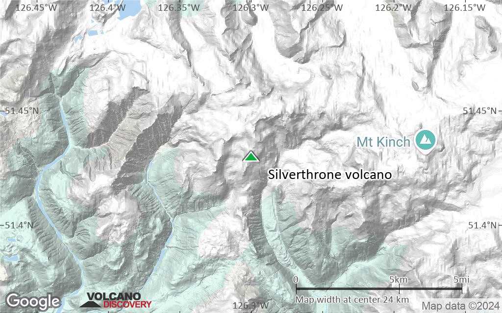
Terrain-type map of Silverthrone volcano (scale of 20-40 km)

Satellite/aerial-type map of Silverthrone volcano (scale of approx. 10-20 km)

Terrain-type map of Silverthrone volcano (scale of approx. 10-20 km)
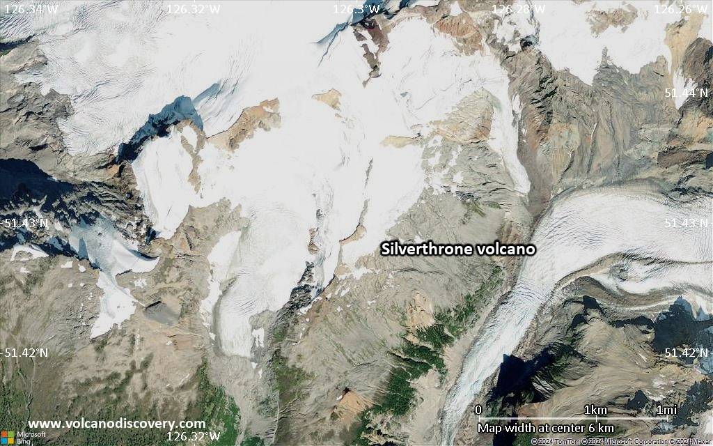
Satellite/aerial-type map of Silverthrone volcano (scale of 5-10 km)
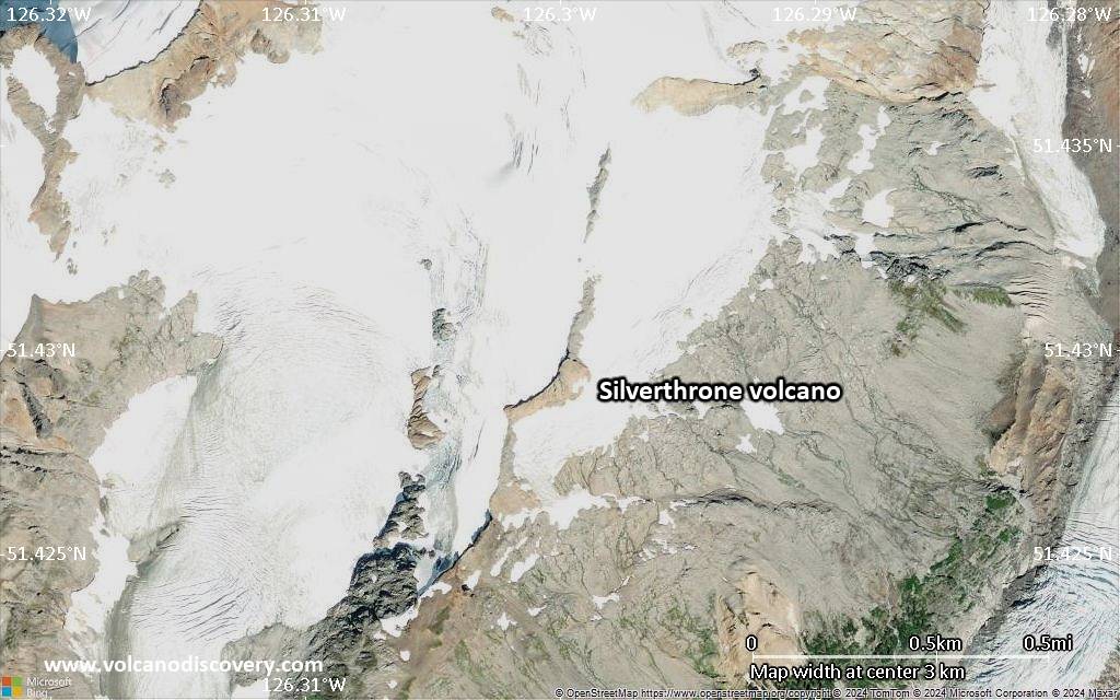
Satellite/aerial-type map of Silverthrone volcano (scale of few kilometers)


