| RSS | EN | DE | EL | ES | FR | IT | RU

Squamish Volcano

Updated: Jul 14, 2025 03:32 GMT -
Volcanic field
Canada, 49.65°N / -123.22°W
Summit height: 790 m / 2592 ft
Current status: (probably) extinct (0 out of 5)

[smaller] [larger]
Typical eruption style: unspecified
Squamish volcano eruptions: None during the past 10,000 years
Less than few million years ago (Pleistocene)

Latest nearby earthquakes

Date and TimeMag / DepthDistance / Location
Jul 5, 01:42 pm (Universal Time)
0.6

3 km
29 km (18 mi) to the W Sunshine Coastal, 32 km west of Squamish, Squamish-Lillooetal, British Columbia, Canada Info
Friday, July 4, 2025 GMT (1 quake)
Jul 4, 08:09 pm (Universal Time)
1.2

5 km
15 km (9.2 mi) to the SE Squamish-Lillooetal, 36 km north of Burnaby, Metro Vancouver Regional District, British Columbia, Canada Info

Background

The Squamish volcanic field contains the southernmost vents of the Garibaldi volcanic belt. Late Pleistocene eruptions formed The Castle, a dramatic strongly jointed spire above the town of Squamish formed by ice contact lava extrusion (Mathews, 1958), and Watts Point, on Howe Sound south of Squamish, formed by subglacial valley floor lava extrusion. The dacite flows at Watts Point are Potassium-Argon dated at 0.09 and 0.13 million years (Green et al., 1988).
---
Source: Smithsonian / GVP volcano information

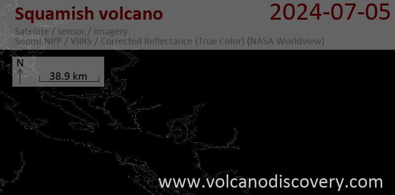
Latest satellite images

squamish satellite image sat1squamish satellite image sat2

Squamish Volcano Maps

Below is a selection of maps showing the location and surroundings of the volcano at various resolutions based on aerial-imagery / terrain maps. Feel free to use them for non-commercial purposes on your blog or website as long as you credit them with a link back to this page (click to copy it).
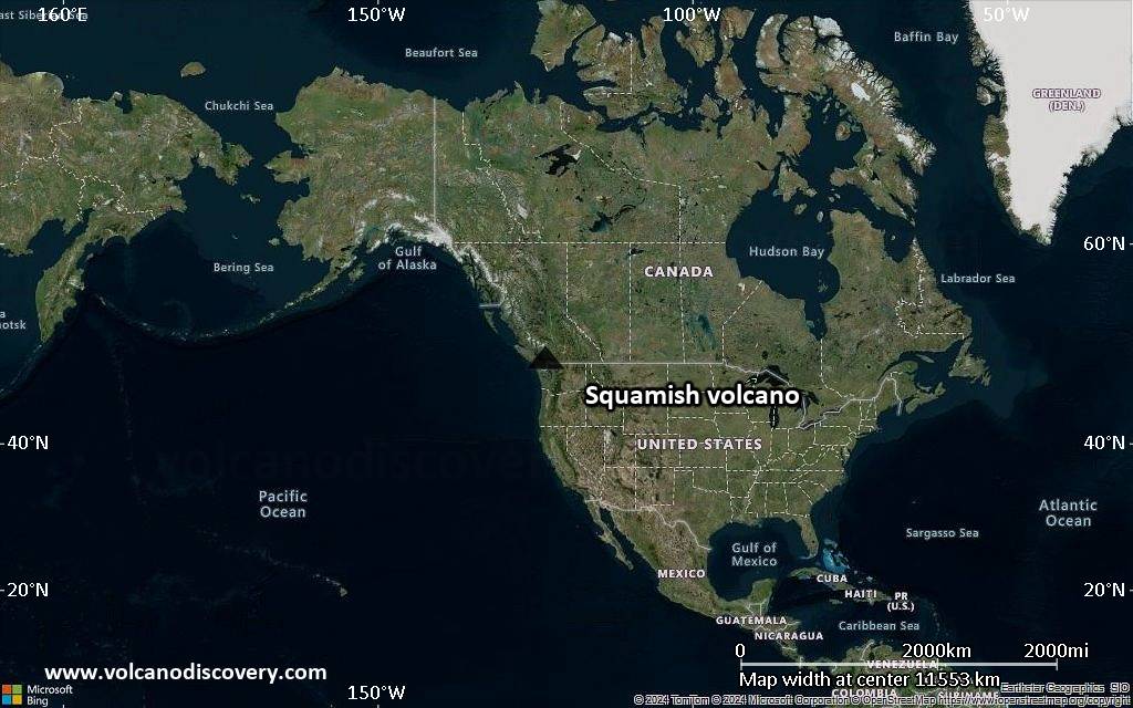
Satellite/aerial-type map of Squamish volcano (world scale)
Terrain-type map of Squamish volcano (world scale)
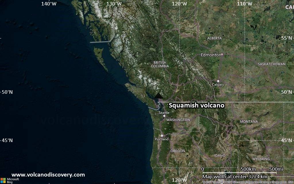
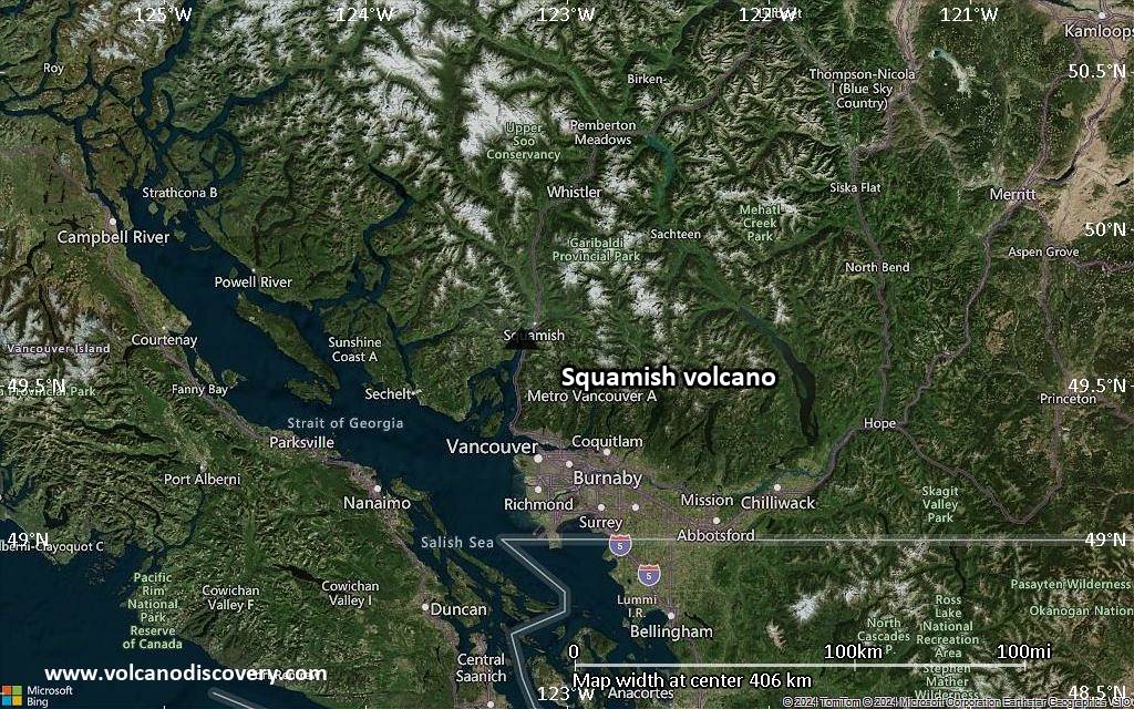
Satellite/aerial-type map of Squamish volcano (region scale large)
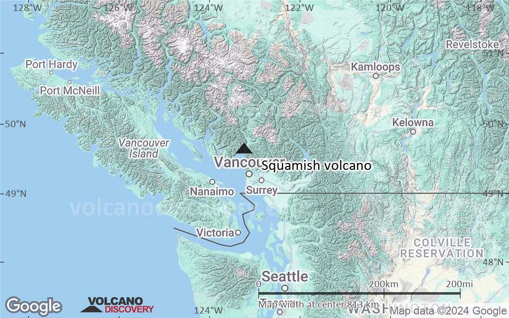
Terrain-type map of Squamish volcano (region scale large)
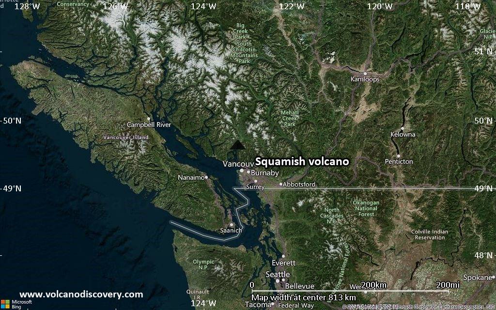
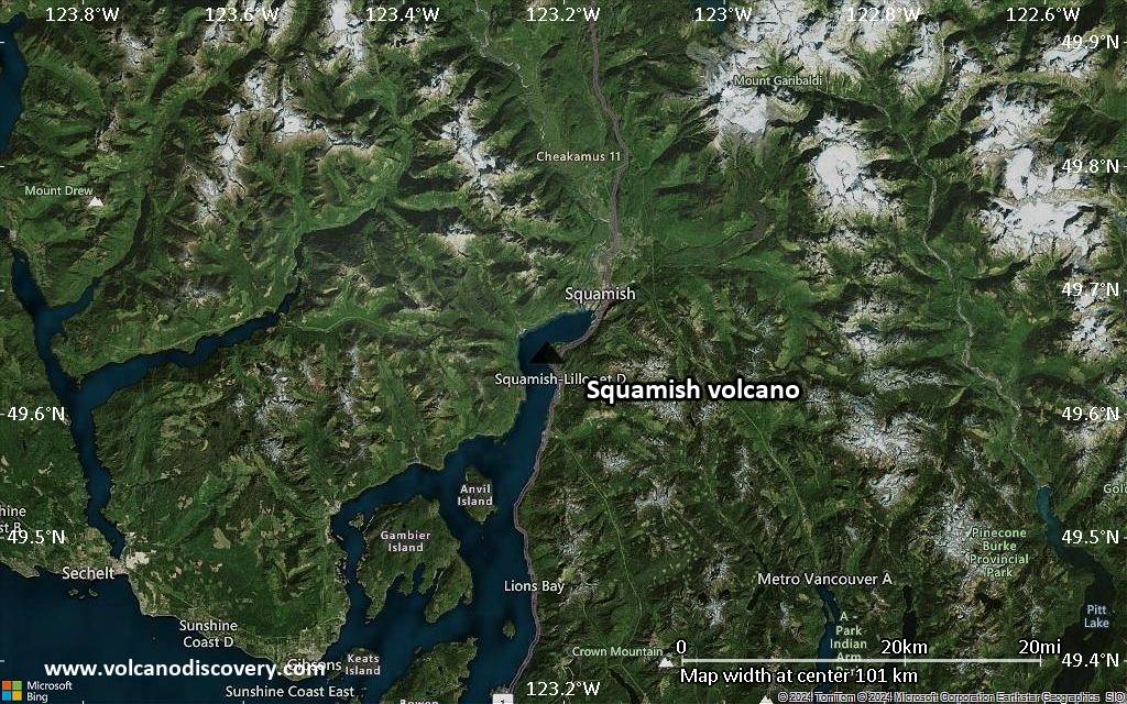
Satellite/aerial-type map of Squamish volcano (region scale medium)
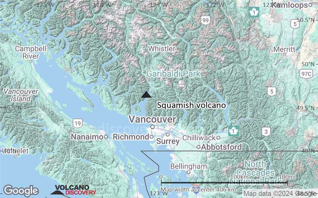
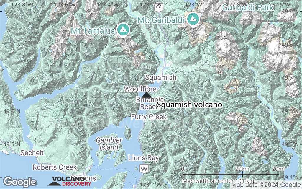
Terrain-type map of Squamish volcano (region scale medium)
Satellite/aerial-type map of Squamish volcano (region scale small)
Terrain-type map of Squamish volcano (region scale small)
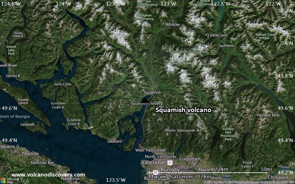
Satellite/aerial-type map of Squamish volcano (local scale large)
Terrain-type map of Squamish volcano (local scale large)
Satellite/aerial-type map of Squamish volcano (local scale medium)
Terrain-type map of Squamish volcano (local scale medium)
Satellite/aerial-type map of Squamish volcano (local scale small)
Terrain-type map of Squamish volcano (local scale small)
Satellite/aerial-type map of Squamish volcano (scale of 10s of km)
Terrain-type map of Squamish volcano (scale of 10s of km)
Satellite/aerial-type map of Squamish volcano (scale of 20-40 km)
Terrain-type map of Squamish volcano (scale of 20-40 km)
Satellite/aerial-type map of Squamish volcano (scale of approx. 10-20 km)
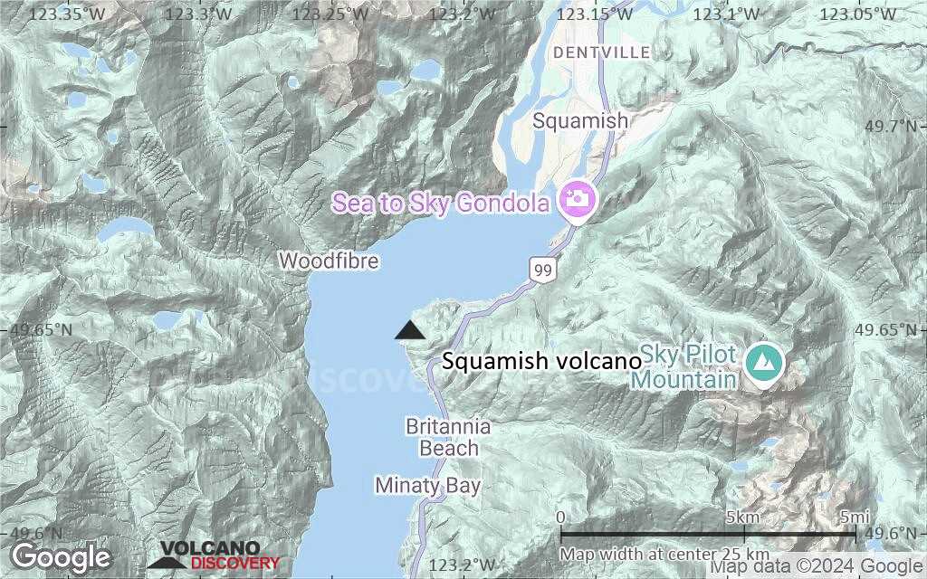
Terrain-type map of Squamish volcano (scale of approx. 10-20 km)
Satellite/aerial-type map of Squamish volcano (scale of 5-10 km)
Satellite/aerial-type map of Squamish volcano (scale of few kilometers)
Volcanoes & Earthquakes - new app for Android
Guaranteed tours
1-17 Aug 2025: Volcanoes and Spices - Sulawesi/Halmahera (Indonesia)
1-14 Oct 2025: Desert, salt and volcanoes - Danakil desert (Ethiopia)
4-12 Oct 2025: From Stromboli to Etna - Sicily and Eolian Islands (Italy)
6-21 Oct 2025: From Krakatau to Bali - Java (Indonesia)
3-19 Nov 2025: Volcanoes and Spices - Sulawesi/Halmahera (Indonesia)
= spaces available   = guaranteed   = few spaces left   = booked out
News

No news in this list.

On this page:

Try our free app!
Volcanoes & Earthquakes - new app for Android
Android | iOS version

More on VolcanoDiscovery

Why is there advertising on this site?

Support us - Help us upgrade our services!

We truly love working to bring you the latest volcano and earthquake data from around the world. Maintaining our website and our free apps does require, however, considerable time and resources.
We need financing to increase hard- and software capacity as well as support our editor team. We're aiming to achieve uninterrupted service wherever an earthquake or volcano eruption unfolds, and your donations can make it happen! Every donation will be highly appreciated. If you find the information useful and would like to support our team in integrating further features, write great content, and in upgrading our soft- and hardware, please make a donation (PayPal).

Planned features:Thanks to your past donations, these features have been added recently:
Download and Upgrade the Volcanoes & Earthquakes app to get one of the fastest seismic and volcano alerts online:
Android | IOS
Thank you!
Sources: VolcanoDiscovery / VolcanoAdventures and other sources as noted.
Use of material: Most text and images on our websites are owned by us. Re-use is generally not permitted without authorization. Contact us for licensing rights.
Volcanoes & Earthquakes
VolcanoDiscovery Home
Volcanoes | Earthquakes | Photos | Volcano News | | Shop | App
Adventure & Study Travel
Tours to Volcanoes and Volcanic Areas: walking tours, photo tours, study tours
Tours & Dates | FAQ | About us
Get our newsletter!
Company info
Contact | Legal info | Terms & conditions
Follow us
Follow us on facebook Follow us on Instagram Follow us on Bluesky Follow us on Twitter Visit our Youtube channel
EN | DE | EL | ES | FR | IT | RU
VolcanoDiscovery GmbH, Germany, Reg. nr.: HRB 103744, EU Tax Id: DE 297 465 123 owned and created by
Dr. Tom Pfeiffer, volcanologist, volcano photographer, tour organizer member of
IAVCEI
IAVCEI
Vulkanologische Gesellschaft
Volcanological Society
Ecotourism Greece
Ecotourism Greece
RUV insurance
Insured by R+V
VolcanoDiscovery © 2004- All Rights Reserved | Privacy - Cookie Settings