Tatun Group Volcano
Updated: May 28, 2025 02:04 GMT -
Lava domes
Taiwan, 25.17°N / 121.52°E 
Summit height: 1120 m / 3,674 ft
Current status: normal or dormant (1 out of 5)
[smaller] [larger]
Tatun Group volcano eruptions: 4100 BC ± 40 years
Latest nearby earthquakes
| Date and Time | Mag / Depth | Distance / Location | |||
|---|---|---|---|---|---|
Background
The Tatun (Datun) volcano group consists predominately of a series of andesitic lava domes in the northernmost part of Taiwan. About 20 volcanoes, the southernmost of which is only 15 km north of the capital city of Taipei, are included in the Tatun group, which was constructed along E-W and NE-SW trending ridges. The highest and youngest volcano is the 1120-m-high Cising (Chisingshan) lava dome. Several magmatic eruptions took place at the Tatun volcano group about 23,000 to 13,000 years ago, and a phreatic eruption assocciated with collapse of the lava dome, possibly closely following lava effusion, took place about 6000 years ago. Hot springs, fumaroles, and solfataras are found over wide areas along a zone parallel to the SW-NE-trending Chinshan fault and extending to the NE coast of Taiwan, and extensive geothermal exploration has occurred at the Daiton geothermal area.---
Smithsonian / GVP volcano information
Significant volcanic eruptions: Tatun Group volcano
No historic eruptions are known from Tatun Group volcano, but evidence from at least 2 eruptions during the past 10,000 years can be found in the geological record.
The table below lists all known eruptions (date in bold face) of Tatun Group volcano in historic times and during the past 10,000 years. Updates on the most recent volcanic activity of Tatun Group can be found on the news page of Tatun Group volcano.
| Date | Note | VEI | Deaths | Damage | |
|---|---|---|---|---|---|
| Shamao | 0 | ||||
| Cisingshan | 1? | ||||
Remark:
Our list of volcanic eruptions closely follows the database of eruptions of the Smithsonian's Global Volcanism Project (GVP), the internationally most recognized data source for volcanic eruptions, but also includes significant eruptive episodes or related volcano events. "Volcanic eruptions" are usually to be understood as sequences of individual eruptive episodes that can follow each other, or even overlap (if several vents are involved), and can last many years, decades or even longer. For example, the current activity of Stromboli volcano is understood as a single eruption that has been ongoing since 1934.
Sources: NOAA National Centers for Environmental Information (NCEI), Global Significant Volcanic Eruptions Database. doi:10.7289/V5TD9V7K | Global Volcanism Project / Smithsonian Institution
Tatun Group Volcano FAQ
+When was the last eruption of Tatun Group volcano?
The last confirmed eruption of Tatun Group occurred around 648 AD.
+When was the largest eruption of Tatun Group volcano?
The largest eruption known from the younger geological history of Tatun Group volcano occurred around 4095 BC. It only has a VEI (Volcanic Explosivity Index) of , likely because it was a mainly effusive eruption generating lava flows but very little ash.
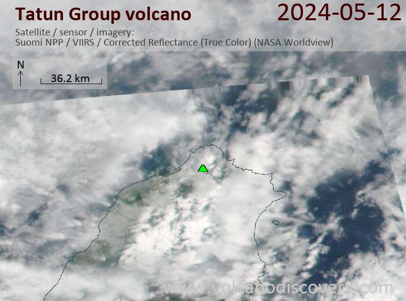
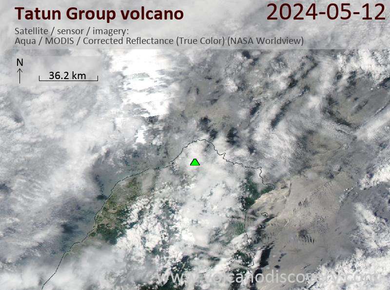
Latest satellite images
Tatun Group Volcano Maps
Below is a selection of maps showing the location and surroundings of the volcano at various resolutions based on aerial-imagery / terrain maps. Feel free to use them for non-commercial purposes on your blog or website as long as you credit them with a link back to this page (click to copy it).

Satellite/aerial-type map of Tatun Group volcano (world scale)

Terrain-type map of Tatun Group volcano (world scale)

Satellite/aerial-type map of Tatun Group volcano (region scale large)

Terrain-type map of Tatun Group volcano (region scale large)

Satellite/aerial-type map of Tatun Group volcano (region scale medium)

Terrain-type map of Tatun Group volcano (region scale medium)

Satellite/aerial-type map of Tatun Group volcano (region scale small)

Terrain-type map of Tatun Group volcano (region scale small)

Satellite/aerial-type map of Tatun Group volcano (local scale large)

Terrain-type map of Tatun Group volcano (local scale large)

Satellite/aerial-type map of Tatun Group volcano (local scale medium)

Terrain-type map of Tatun Group volcano (local scale medium)

Satellite/aerial-type map of Tatun Group volcano (local scale small)

Terrain-type map of Tatun Group volcano (local scale small)

Satellite/aerial-type map of Tatun Group volcano (scale of 10s of km)

Terrain-type map of Tatun Group volcano (scale of 10s of km)

Satellite/aerial-type map of Tatun Group volcano (scale of 20-40 km)

Terrain-type map of Tatun Group volcano (scale of 20-40 km)

Satellite/aerial-type map of Tatun Group volcano (scale of approx. 10-20 km)

Terrain-type map of Tatun Group volcano (scale of approx. 10-20 km)

Satellite/aerial-type map of Tatun Group volcano (scale of 5-10 km)

Satellite/aerial-type map of Tatun Group volcano (scale of few kilometers)