Tiatia Volcano
Updated: Apr 28, 2024 02:31 GMT -
stratovolcano 1819 m / 5,968 ft
Kunashir Island (Kuril Islands), 44.35°N / 146.26°E
Current status: normal or dormant (1 out of 5)
Kunashir Island (Kuril Islands), 44.35°N / 146.26°E
Current status: normal or dormant (1 out of 5)
Last update: 14 Dec 2021 (weak thermal anomaly)
Tiatia volcano (Chacha-dake in Japanese) is one of the most impressive volcanoes in the Kuriles. It is a symmetrical stratovolcano located on the NE end of Kunashir Island 70 km from Hokkiado, Japan. The volcano has a 2.1 x 2.4 km wide caldera and a young summit central cone within the caldera, rising 400 m above the floor and containing a 400 x 250 m wide summit crater.
Its last confirmed eruption was in 1981.
[smaller] [larger]
Tiatia volcano eruptions: 2010(?), 1982(?), 1981, 1978, 1973, 1812
Latest nearby earthquakes
| Time | Mag. / Depth | Distance / Location | |||
Background
Tiatia volcano's shape resembles Mount Vesuvius in Italy. It is trucated by a caldera with a somma - the remnant of the older volcanic cone still forming a second peak. The older volcano formed in the late Pleistocene to Holocene.The young central cone is mostly formed by basaltic to basaltic-andesite scoria from strombolian eruptions. The central cone has 2 explosion craters separated by a narrow wall.
Young lava flows cover much of the SW caldera floor. Lava flows have overflowed the caldera and have overflowed the rim and extend to the foot of the older somma.
A lava flow from a flank cone on the northern caldera rim reached the Sea of Okhotsk. A major explosive eruption occurred in 1973 and was the first since Tiatia's initial historical eruption in 1812.
Eruptions of Tiatia volcano
2010 possible eruption
An infrared satellite hotspot was detected at Tiatia volcano on 9 February 2010. It could indicate an unobserved small eruption.
An infrared satellite hotspot was detected at Tiatia volcano on 9 February 2010. It could indicate an unobserved small eruption.
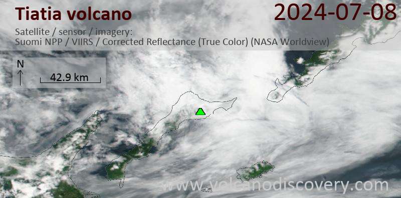
Latest satellite images