Tseax Cone Volcano
Updated: May 22, 2025 04:57 GMT -
cinder cone
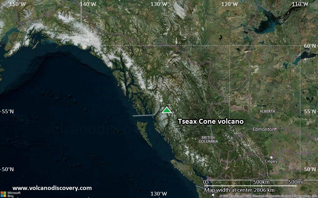
western Canada, 55.12°N / -128.9°W 
Summit height: 600 m / 1,969 ft
Current status: normal or dormant (1 out of 5)
Tseax Cone (also called Tseax River Cone or the Aiyansh volcano) is a young cinder cone in the Northern Cordilleran Volcanic Province in British Columbia, Canada. It is the site of one of Canda's most recent eruptions, which was a major lava flow around the years 1750 or 1775. Tseax Cone's activity is present in legends and stories of the Nisga'a People.
Gas emissions from the volcano and major lava flows are the most significant hazards from Tseax Cone.
[smaller] [larger]
Tseax Cone volcano eruptions: 1730 ± 150, 1330 ± 75
Latest nearby earthquakes
| Date and Time | Mag / Depth | Distance / Location | |||
|---|---|---|---|---|---|
Background
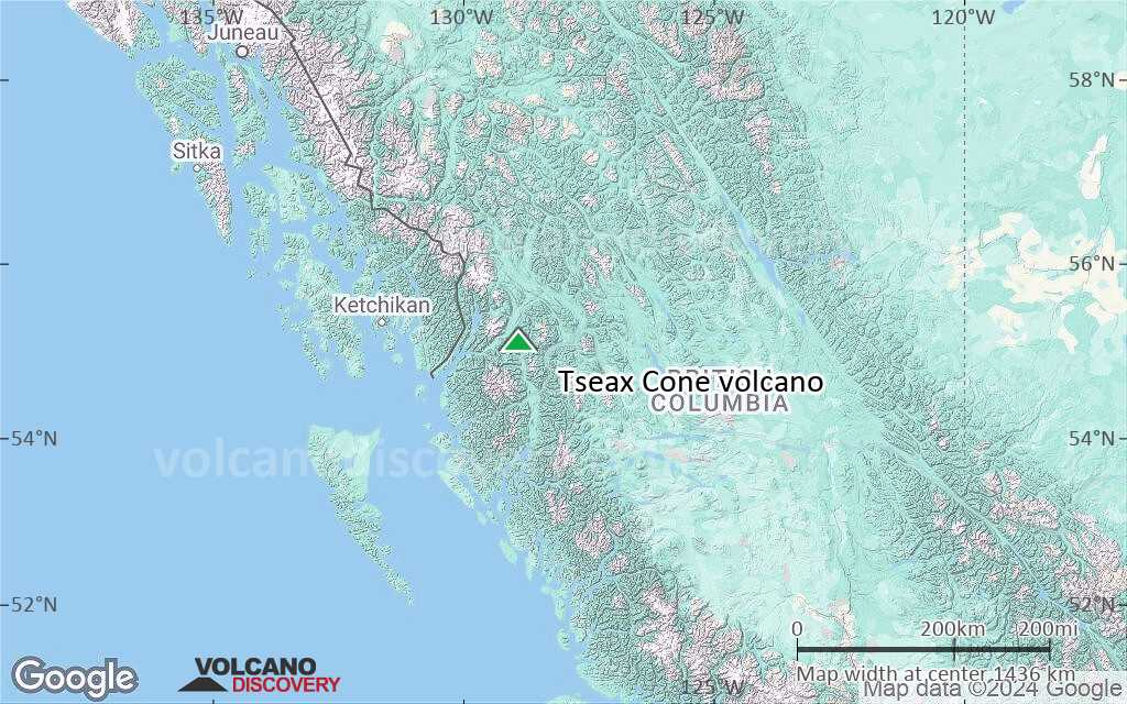
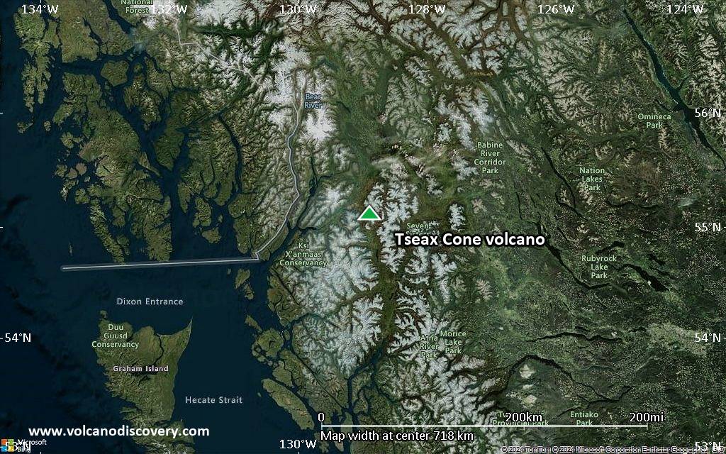
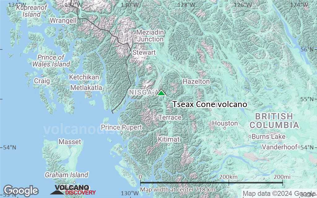
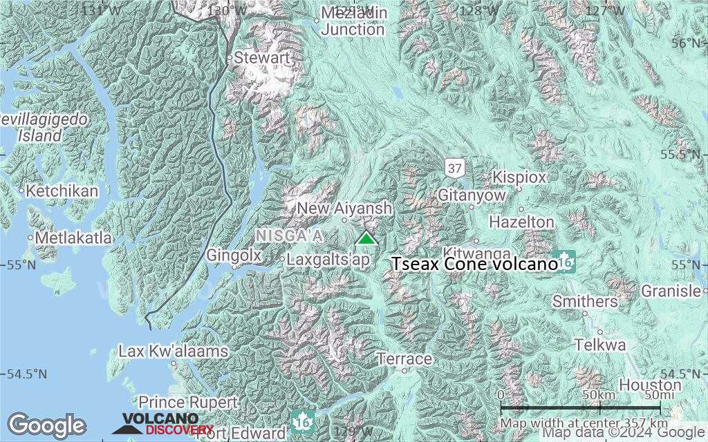
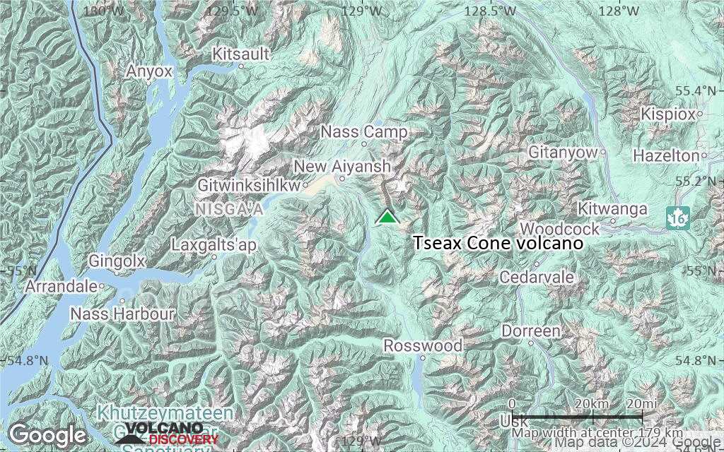
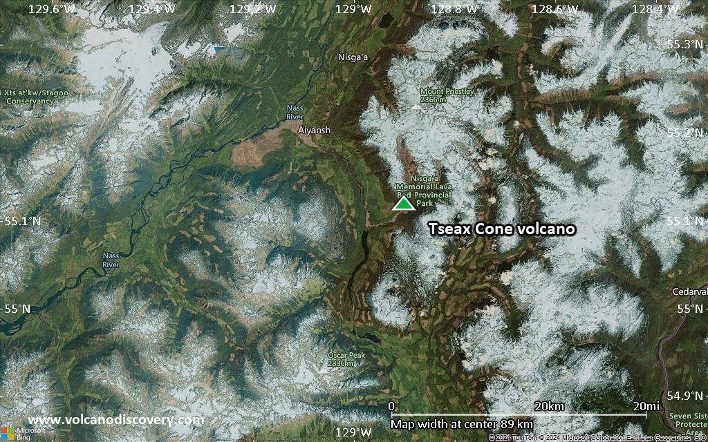
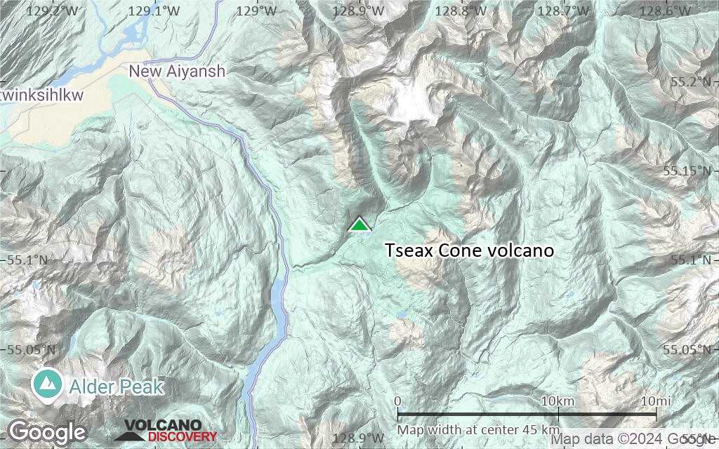
Tseax Cone is related to the Nass Ranges and the Northern Cordilleran Volcanic Province, located east of Crater Creek at the outlet of Melita Lake, southeast of Gitlakdamix and 60 km north of Terrace, British Columbia, Canada.The volcano is located in a valley above and east of the Tseax River, about 20 km (12 mi) south of the river's junction with the larger Nass River. It is one of the most accessible volcanic centers in British Columbia.
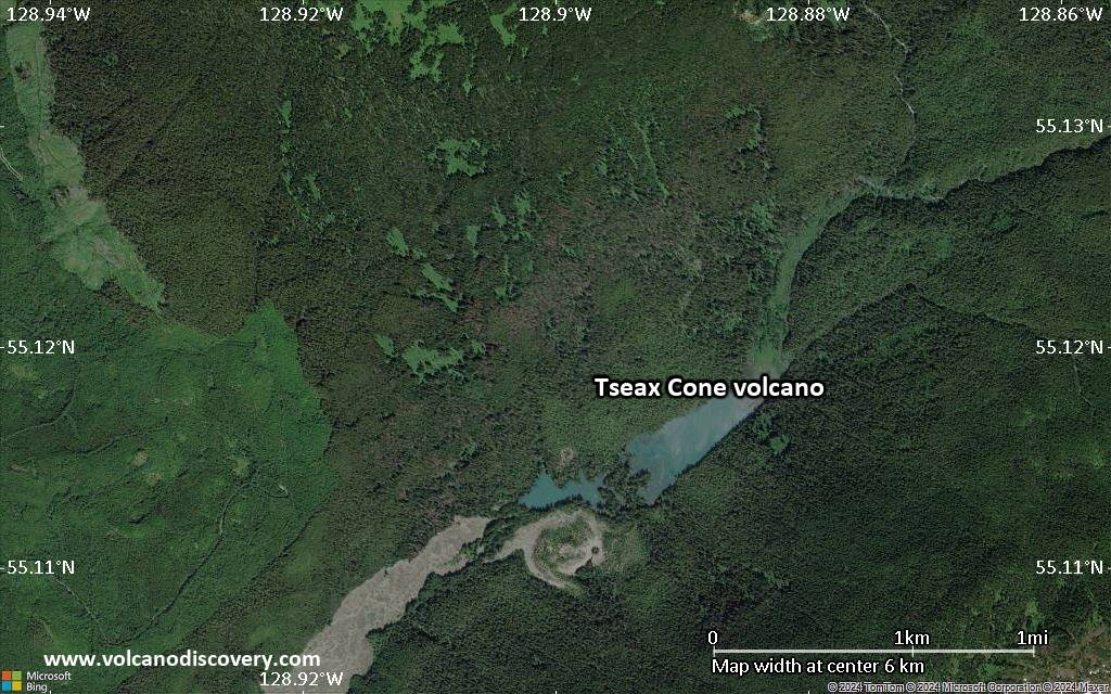
The Tseax Cone was the site of some of the youngest volcanic eruptions in Canada and has been active at least 2 times in the past few 100 years. It measures 290 m in diameter at its base and rests on the remnants of an earlier and somewhat larger, dissected, 460 m diameter cone. The volcano typically erupted fluid basalt lavas, producing fissure eruptions, strombolian activity and sometimes lava lakes inside its crater.
Significant volcanic eruptions: Tseax Cone volcano
No historic eruptions are known from Tseax Cone volcano, but evidence from at least 2 eruptions during the past 10,000 years can be found in the geological record.
The table below lists all known eruptions (date in bold face) of Tseax Cone volcano in historic times and during the past 10,000 years. Updates on the most recent volcanic activity of Tseax Cone can be found on the news page of Tseax Cone volcano.
| Date | Note | VEI | Deaths | Damage | |
|---|---|---|---|---|---|
| 1730 (eruptive episode | 0 | 1-50 (*) | Info | ||
| ? | |||||
| ? | |||||
(*) Estimated numbers
Remark:
Our list of volcanic eruptions closely follows the database of eruptions of the Smithsonian's Global Volcanism Project (GVP), the internationally most recognized data source for volcanic eruptions, but also includes significant eruptive episodes or related volcano events. "Volcanic eruptions" are usually to be understood as sequences of individual eruptive episodes that can follow each other, or even overlap (if several vents are involved), and can last many years, decades or even longer. For example, the current activity of Stromboli volcano is understood as a single eruption that has been ongoing since 1934.
Sources: NOAA National Centers for Environmental Information (NCEI), Global Significant Volcanic Eruptions Database. doi:10.7289/V5TD9V7K | Global Volcanism Project / Smithsonian Institution
Eruptions of Tseax Cone volcano
18th century eruption
A major effusive eruption occurred around the years 1750 or 1775. Basalt lava flows traveled into the Tseax River, damming it and forming Lava Lake. The flow subsequently traveled 11 km north to the Nass River, where it filled the flat valley floor for an additional 10 km, making the entire lava flow approximately 22.5 km long.
The Nass River valley contains abundant tree casts and lava tubes.
Native legends of the Nisga'a people tell of a prolonged period of disruption by the volcano, including the destruction of two Nisga'a villages. Several Nisga'a people dug pits for shelter, but approximately 2,000 Nisga'a people died due to volcanic gases and poisonous smoke (most likely carbon dioxide). The Nisga'a story of the destruction is Canada's worst known geophysical disaster.
The lava beds, which reach 12 m (39 ft) above the road in some places, are the burial ground of these people. It is the only eruption in Canada for which legends of First Nations people have been verified.
It has recently been suggested that the Tseax eruption was triggered by the Cascadia earthquake of 26 January 1700. This was the most powerful earthquake during the last 1000 years in the Pacific Northwest.
---
Sources: wikipedia, GVP
Tseax Cone Volcano FAQ
+When was the last eruption of Tseax Cone volcano?
The last confirmed eruption of Tseax Cone occurred around 1690 AD.
Latest satellite images

Tseax Cone Volcano Maps
Below is a selection of maps showing the location and surroundings of the volcano at various resolutions based on aerial-imagery / terrain maps. Feel free to use them for non-commercial purposes on your blog or website as long as you credit them with a link back to this page (click to copy it).

Satellite/aerial-type map of Tseax Cone volcano (world scale)

Terrain-type map of Tseax Cone volcano (world scale)
Satellite/aerial-type map of Tseax Cone volcano (region scale large)

Terrain-type map of Tseax Cone volcano (region scale large)

Satellite/aerial-type map of Tseax Cone volcano (region scale medium)
Terrain-type map of Tseax Cone volcano (region scale medium)
Satellite/aerial-type map of Tseax Cone volcano (region scale small)
Terrain-type map of Tseax Cone volcano (region scale small)

Satellite/aerial-type map of Tseax Cone volcano (local scale large)
Terrain-type map of Tseax Cone volcano (local scale large)

Satellite/aerial-type map of Tseax Cone volcano (local scale medium)
Terrain-type map of Tseax Cone volcano (local scale medium)
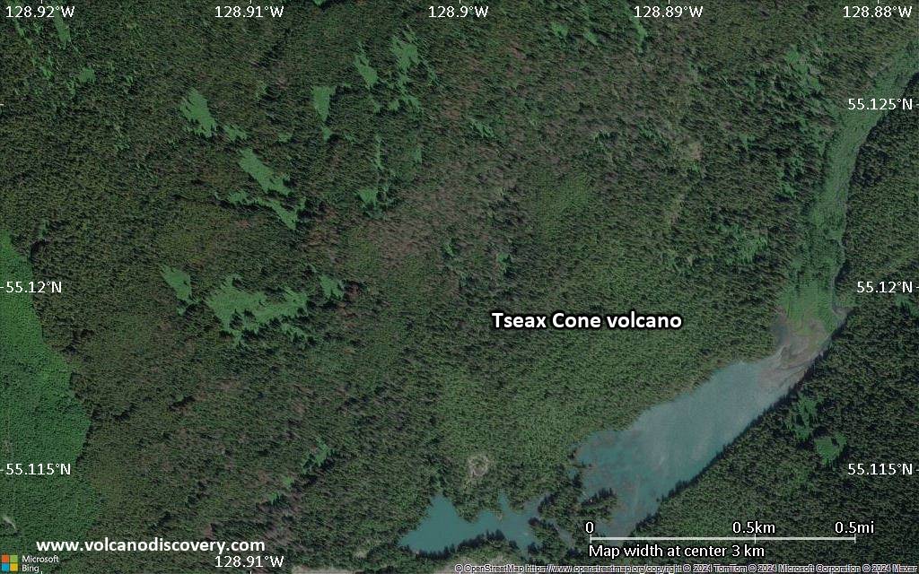
Satellite/aerial-type map of Tseax Cone volcano (local scale small)

Terrain-type map of Tseax Cone volcano (local scale small)

Satellite/aerial-type map of Tseax Cone volcano (scale of 10s of km)
Terrain-type map of Tseax Cone volcano (scale of 10s of km)

Satellite/aerial-type map of Tseax Cone volcano (scale of 20-40 km)

Terrain-type map of Tseax Cone volcano (scale of 20-40 km)

Satellite/aerial-type map of Tseax Cone volcano (scale of approx. 10-20 km)

Terrain-type map of Tseax Cone volcano (scale of approx. 10-20 km)
Satellite/aerial-type map of Tseax Cone volcano (scale of 5-10 km)
Satellite/aerial-type map of Tseax Cone volcano (scale of few kilometers)