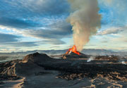
Uinkaret Volcano
Updated: Jun 26, 2025 09:44 GMT -
volcanic field
Arizona (Canada and USA (mainland)), 36.38°N / -113.13°W 
Summit height: 1555 m / 5,102 ft
Current status: normal or dormant (1 out of 5)
The Uinkaret volcanic field is located at the north rim of the Grand Canyon in Arizona. It contains cinder cones that have produced lava flows that repeatedly cascaded into the Grand Canyon, forming temporary lava dams up to 200 m high. In one of these lava flows, known as the Little Springs flow, pottery sherds were found that date to between 1050 and 1200 AD giving the age of the lava flow.
[smaller] [larger]
Uinkaret volcano eruptions: 1100 ± 75 years (based on pottery founds)
Latest nearby earthquakes
| Date and Time | Mag / Depth | Distance / Location | |||
|---|---|---|---|---|---|
Background
Two of the most prominent landmarks are Vulcan's Throne, a 73,000 years old cinder cone on the north rim, and Vulcan's Forge, a small volcanic neck erupted within the Colorado River, 1000 m below.Most of the Uinkaret field lies north of the Grand Canyon on the Uinkaret Plateau between the Toroweap and Hurricane faults. Most of the Uinkaret volcanic field is older than 10,000 years, but some activity has occurred even only about 1000 years ago. The lava flow from Little Springs, south of Pliocene Mount Trumbull, has a cosmogenic helium age of 1300 +/- 500 years BP. Pottery sherds dated at between 1050 and 1200 AD were found within the Little Springs lava flow, which occurred about the same time as the Sunset Crater eruption in the San Francisco volcanic field to the SE.
---
Source: GVP
Significant volcanic eruptions: Uinkaret volcano
No historic eruptions are known from Uinkaret volcano, but at least one eruption around 1100 AD can be inferred from geological evidence.
The table below lists all known eruptions (date in bold face) of Uinkaret volcano in historic times and during the past 10,000 years. Updates on the most recent volcanic activity of Uinkaret can be found on the news page of Uinkaret volcano.
| Date | Note | VEI | Deaths | Damage | |
|---|---|---|---|---|---|
| Little Springs | 1 | ||||
Remark:
Our list of volcanic eruptions closely follows the database of eruptions of the Smithsonian's Global Volcanism Project (GVP), the internationally most recognized data source for volcanic eruptions, but also includes significant eruptive episodes or related volcano events. "Volcanic eruptions" are usually to be understood as sequences of individual eruptive episodes that can follow each other, or even overlap (if several vents are involved), and can last many years, decades or even longer. For example, the current activity of Stromboli volcano is understood as a single eruption that has been ongoing since 1934.
Sources: NOAA National Centers for Environmental Information (NCEI), Global Significant Volcanic Eruptions Database. doi:10.7289/V5TD9V7K | Global Volcanism Project / Smithsonian Institution
Uinkaret Volcano FAQ
+When was the last eruption of Uinkaret volcano?
The last confirmed eruption of Uinkaret occurred around 1100 AD.
+When was the largest eruption of Uinkaret volcano?
The largest eruption known from the younger geological history of Uinkaret volcano occurred around 1100 AD. It only has a VEI (Volcanic Explosivity Index) of , likely because it was a mainly effusive eruption generating lava flows but very little ash.
Latest satellite images
Uinkaret Volcano Maps
Below is a selection of maps showing the location and surroundings of the volcano at various resolutions based on aerial-imagery / terrain maps. Feel free to use them for non-commercial purposes on your blog or website as long as you credit them with a link back to this page (click to copy it).
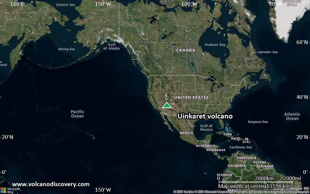
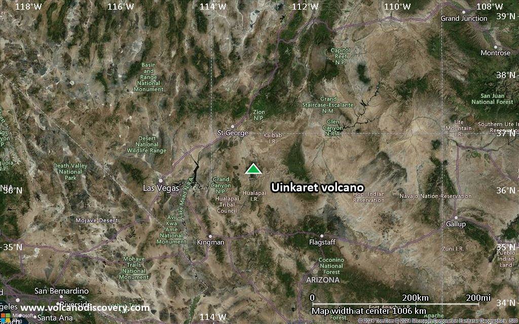
Satellite/aerial-type map of Uinkaret volcano (world scale)
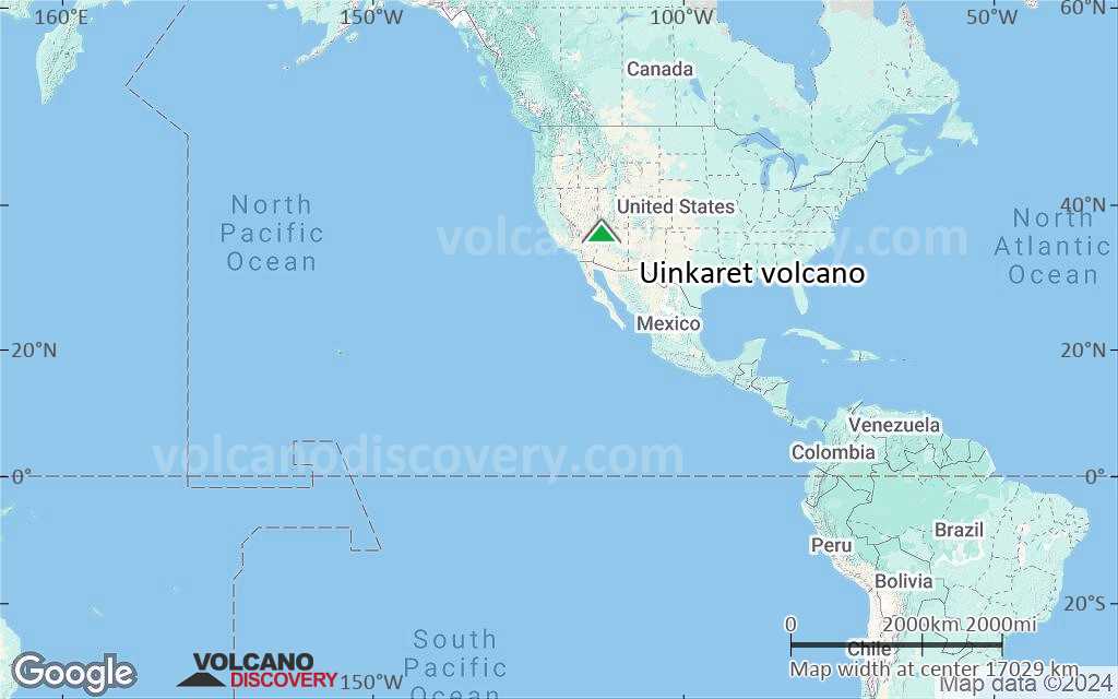
Terrain-type map of Uinkaret volcano (world scale)

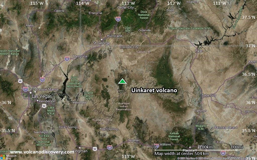
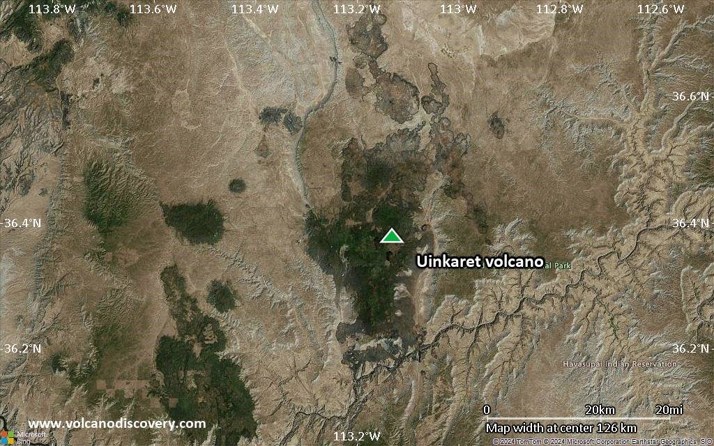
Satellite/aerial-type map of Uinkaret volcano (region scale large)
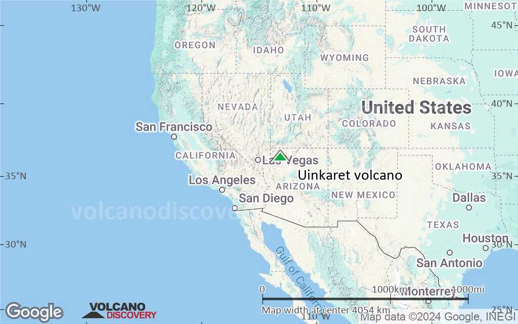
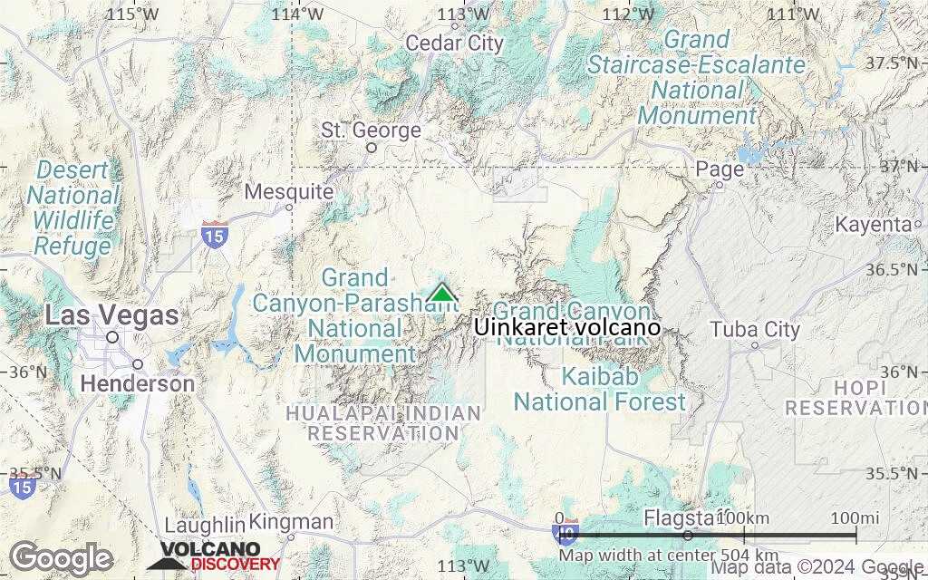
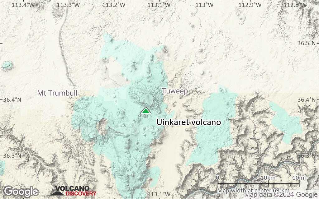
Terrain-type map of Uinkaret volcano (region scale large)
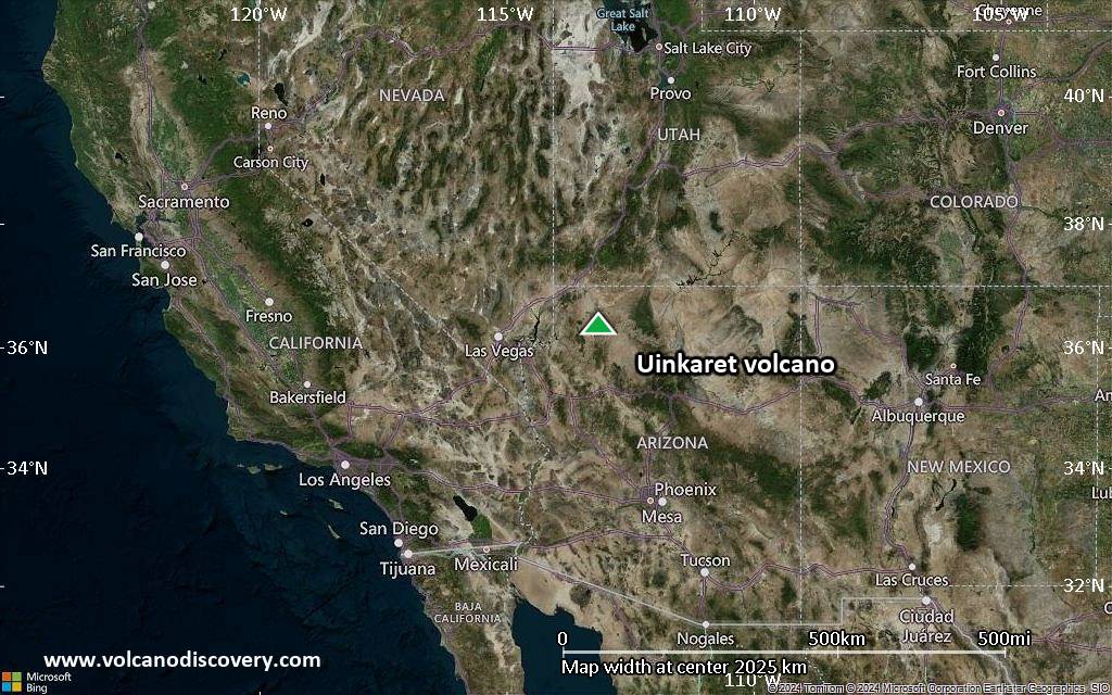
Satellite/aerial-type map of Uinkaret volcano (region scale medium)
Terrain-type map of Uinkaret volcano (region scale medium)
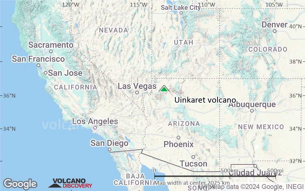
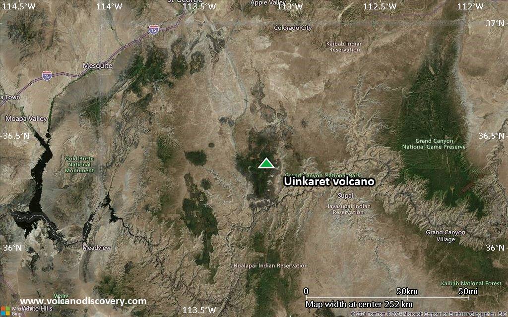
Satellite/aerial-type map of Uinkaret volcano (region scale small)

Terrain-type map of Uinkaret volcano (region scale small)
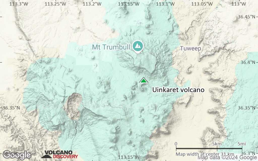
Satellite/aerial-type map of Uinkaret volcano (local scale large)
Terrain-type map of Uinkaret volcano (local scale large)
Satellite/aerial-type map of Uinkaret volcano (local scale medium)

Terrain-type map of Uinkaret volcano (local scale medium)
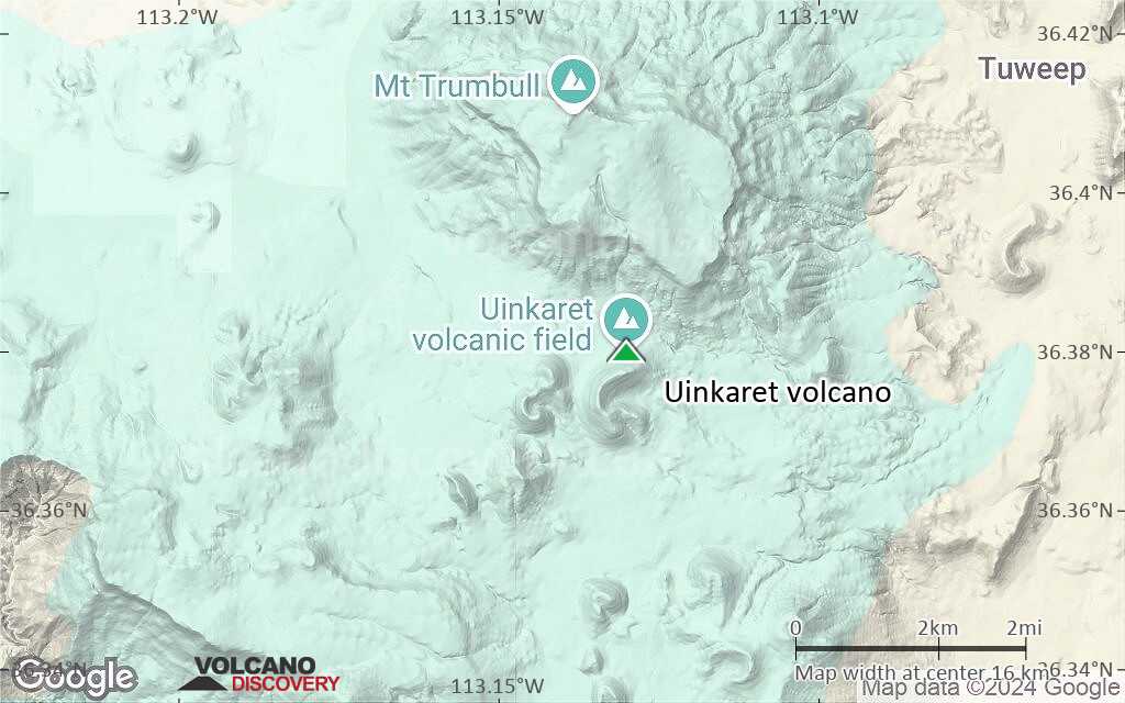
Satellite/aerial-type map of Uinkaret volcano (local scale small)

Terrain-type map of Uinkaret volcano (local scale small)

Satellite/aerial-type map of Uinkaret volcano (scale of 10s of km)
Terrain-type map of Uinkaret volcano (scale of 10s of km)

Satellite/aerial-type map of Uinkaret volcano (scale of 20-40 km)
Terrain-type map of Uinkaret volcano (scale of 20-40 km)

Satellite/aerial-type map of Uinkaret volcano (scale of approx. 10-20 km)
Terrain-type map of Uinkaret volcano (scale of approx. 10-20 km)
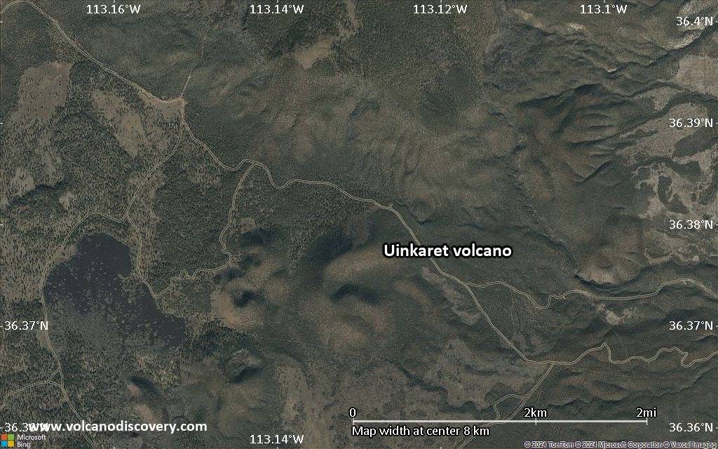
Satellite/aerial-type map of Uinkaret volcano (scale of 5-10 km)

Satellite/aerial-type map of Uinkaret volcano (scale of few kilometers)