Usulután Volcano
Updated: Apr 28, 2024 18:18 GMT -
stratovolcano 1449 m / 4,754 ft
El Salvador, 13.42°N / -88.47°W
Current status: normal or dormant (1 out of 5)
El Salvador, 13.42°N / -88.47°W
Current status: normal or dormant (1 out of 5)
Usulután volcano is a stratovolcano in east-central El Salvador, at the SE end of a cluster of basaltic to basaltic-andesite stratovolcanoes between San Vicente and San Miguel volcanoes.
The volcano contains a broad 1.3-km-wide summit crater breached to the east. The flanks of the forested Usulután volcano are strongly eroded and suggest a long repose interval, but young lava flows are present on its southern flanks. They are probably less than 10,000 years old. Cerro Nanzal is a flank cone on the lower SE flank and was mapped as Holocene.
[smaller] [larger]
Usulután volcano eruptions: unknown, less than 10,000 years ago
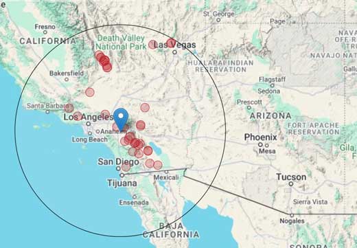
Latest nearby earthquakes
| Time | Mag. / Depth | Distance / Location | |||
| Apr 24, 01:16 am (GMT -6) | 0.0 70 km | 20 km (12 mi) to the SE | Info | ||


