


Uturuncu Volcano
Updated: Jul 2, 2025 04:14 GMT -
stratovolcano
Northern Chile, Bolivia and Argentina (South America), -22.27°S / -67.18°W 
Summit height: 6008 m / 19,711 ft
Current status: normal or dormant (1 out of 5)
Last update: 22 May 2012 (ongoing inflation and microquakes)
Uturuncu volcano is the highest peak in SW Bolivia and located SE of Quetana. The stratovolcano consists dominantly of andesitic to dacitic lava flows and some are probably less than 10,000 years old. At present, there are 2 solfatara fields near the summit.
Large-scale ground deformation, a bulge growing one inch per year, has been detected since May 1992 as well as increased seismic activity. This indicates that magma is still moving beneath the volcano.
[smaller] [larger]
Uturuncu volcano eruptions: unknown
Latest nearby earthquakes
| Date and Time | Mag / Depth | Distance / Location | |||
|---|---|---|---|---|---|
| Jun 24, 03:42 am (La Paz) | 4.4 179 km | 17 km (10.3 mi) to the W | Info | ||
Latest satellite images

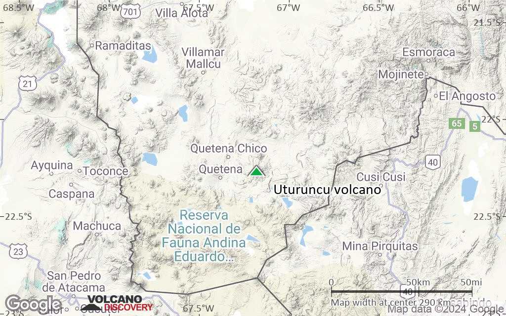
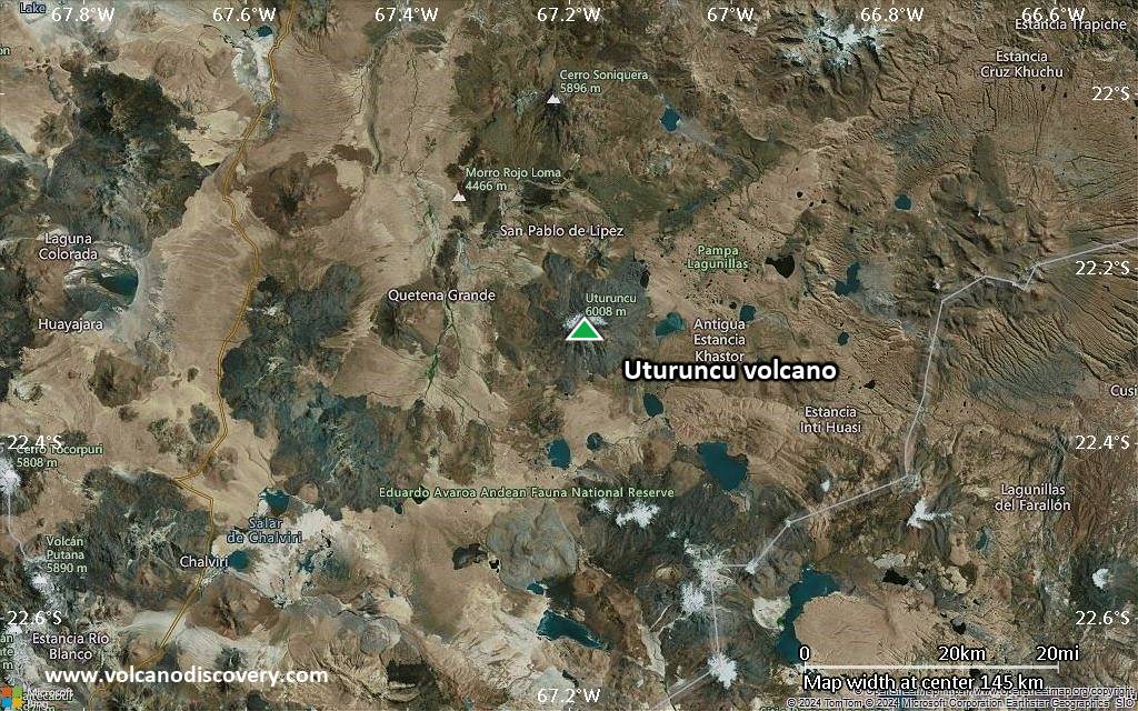
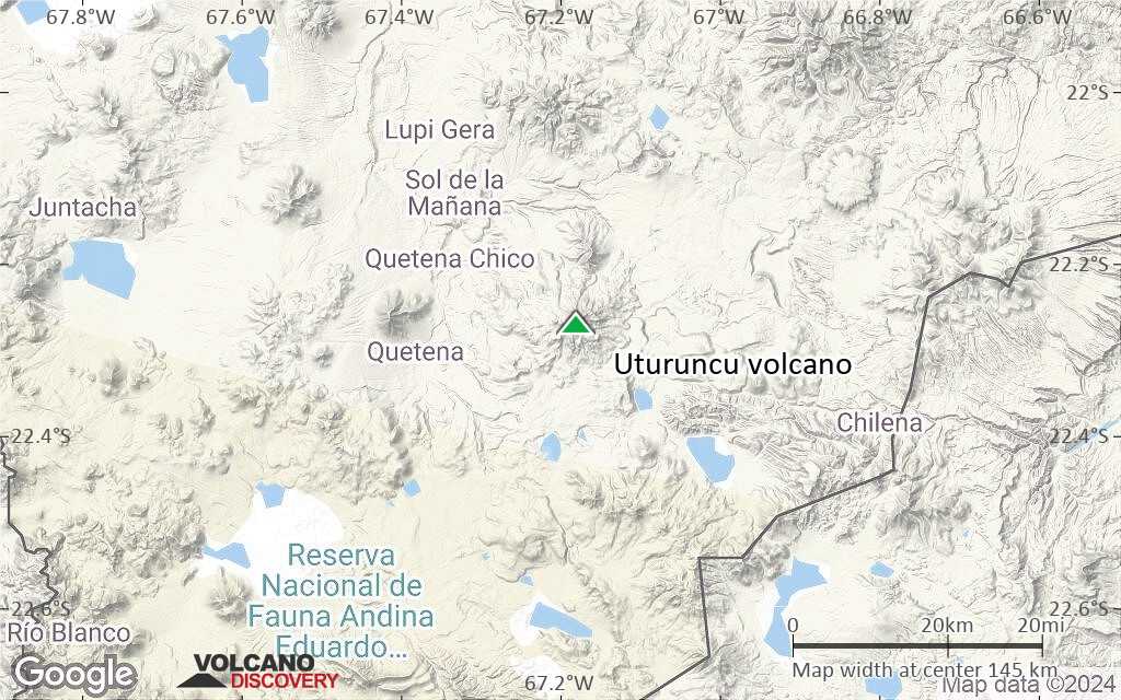
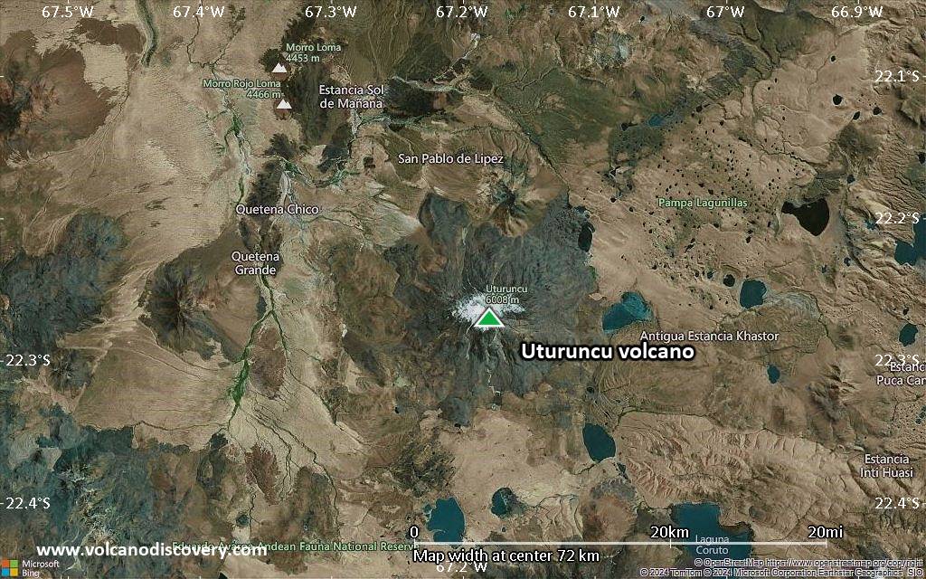
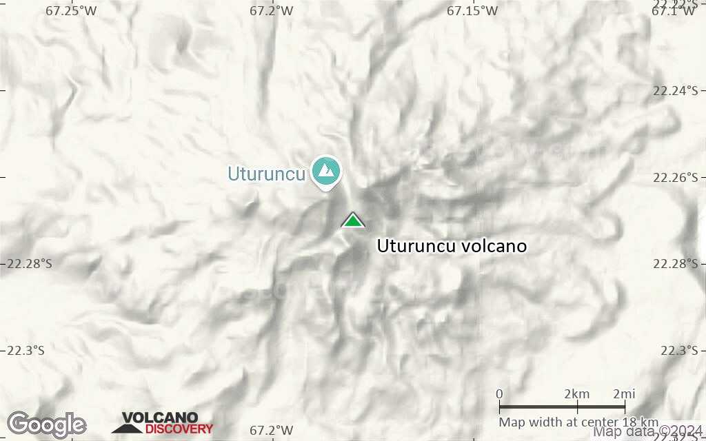
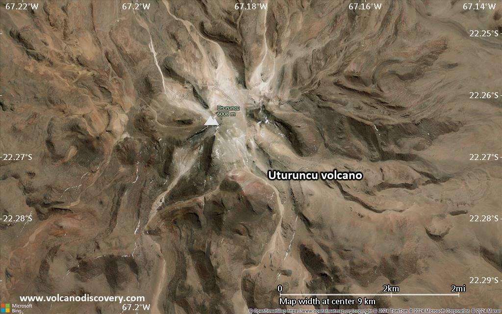
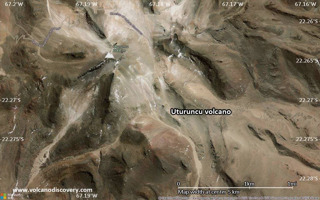
Uturuncu Volcano Maps
Below is a selection of maps showing the location and surroundings of the volcano at various resolutions based on aerial-imagery / terrain maps. Feel free to use them for non-commercial purposes on your blog or website as long as you credit them with a link back to this page (click to copy it).
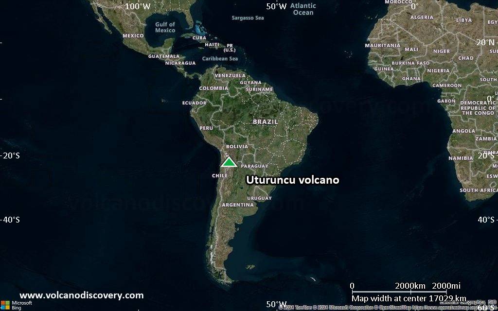
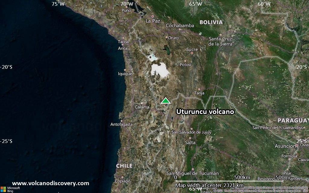
Satellite/aerial-type map of Uturuncu volcano (world scale)
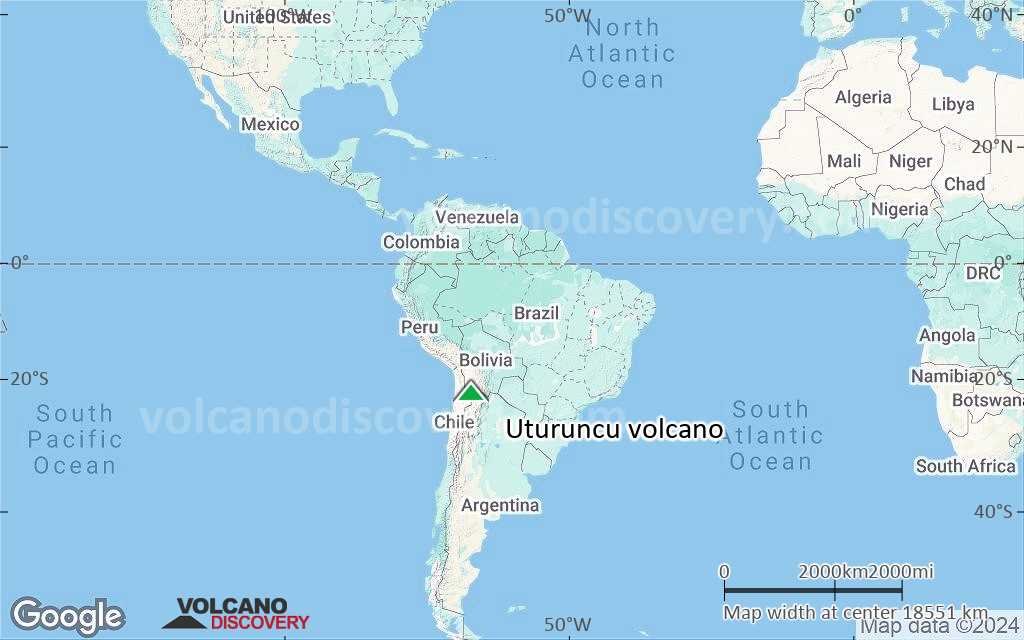
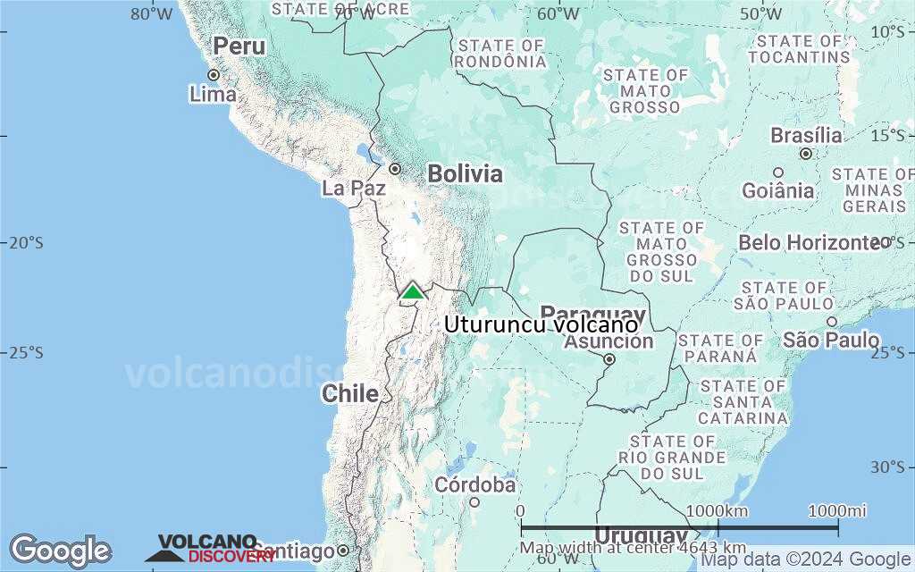
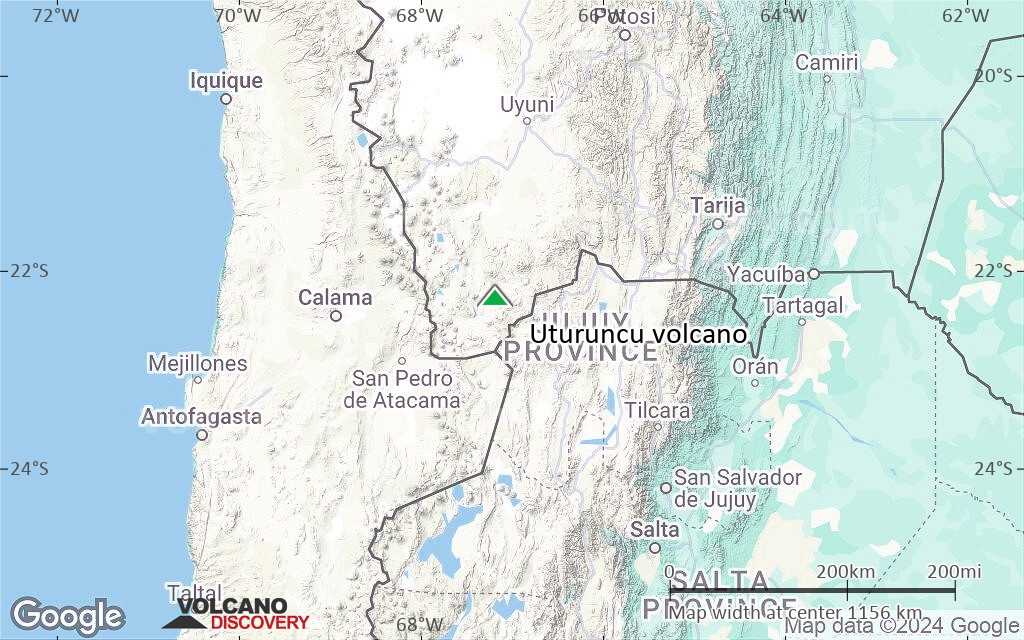
Terrain-type map of Uturuncu volcano (world scale)
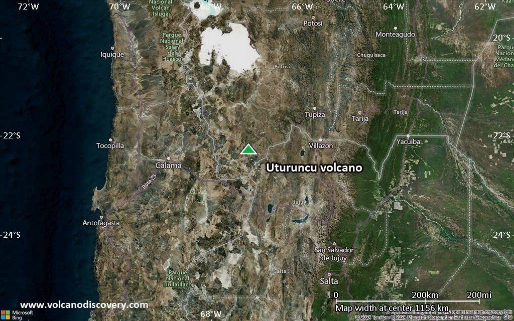
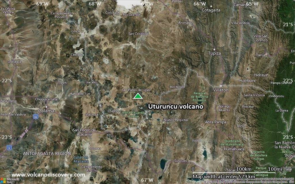
Satellite/aerial-type map of Uturuncu volcano (region scale large)
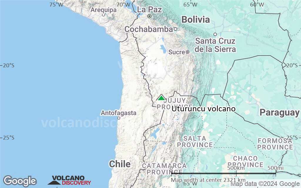
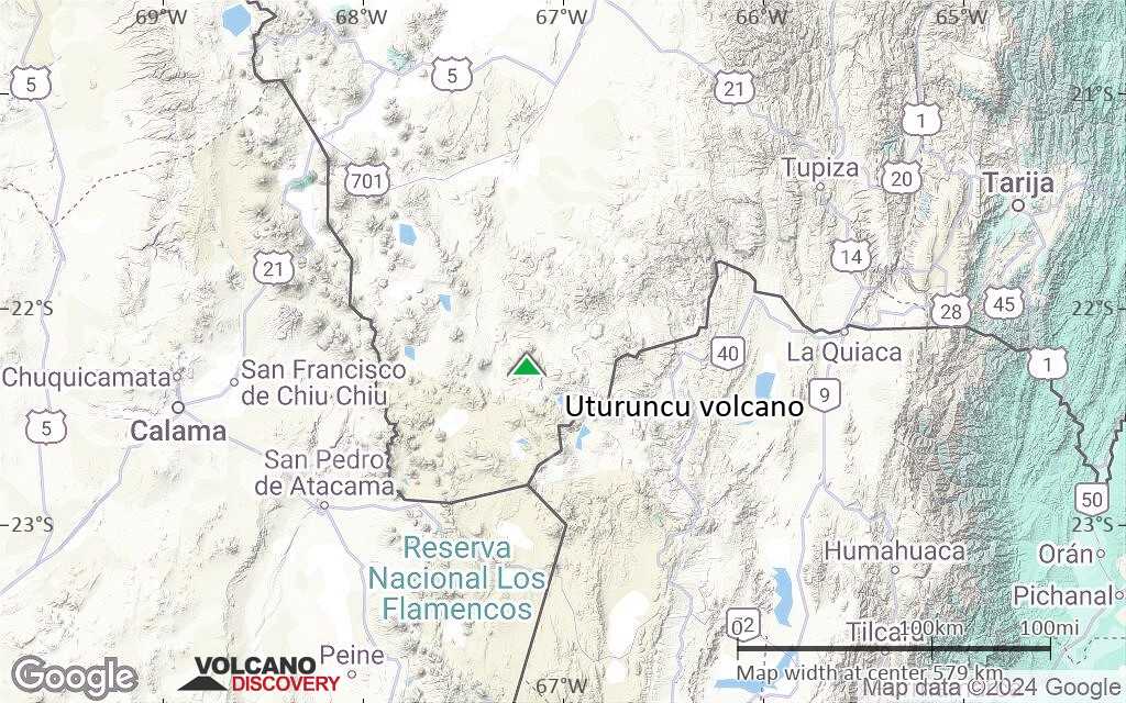
Terrain-type map of Uturuncu volcano (region scale large)
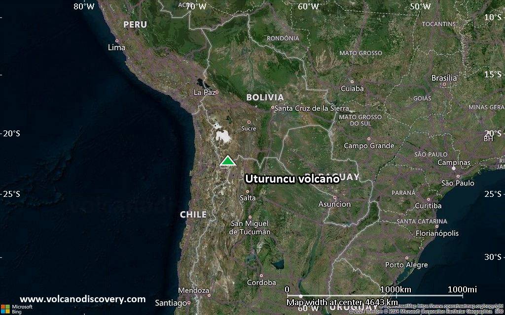
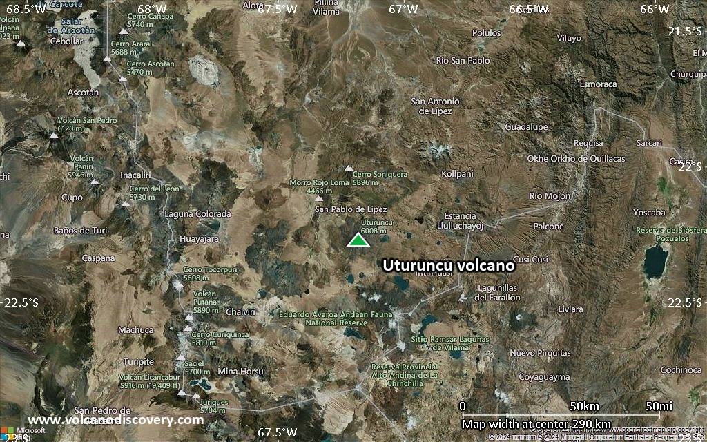
Satellite/aerial-type map of Uturuncu volcano (region scale medium)
Terrain-type map of Uturuncu volcano (region scale medium)
Satellite/aerial-type map of Uturuncu volcano (region scale small)
Terrain-type map of Uturuncu volcano (region scale small)
Satellite/aerial-type map of Uturuncu volcano (local scale large)
Terrain-type map of Uturuncu volcano (local scale large)
Satellite/aerial-type map of Uturuncu volcano (local scale medium)
Terrain-type map of Uturuncu volcano (local scale medium)
Satellite/aerial-type map of Uturuncu volcano (local scale small)
Terrain-type map of Uturuncu volcano (local scale small)
Satellite/aerial-type map of Uturuncu volcano (scale of 10s of km)
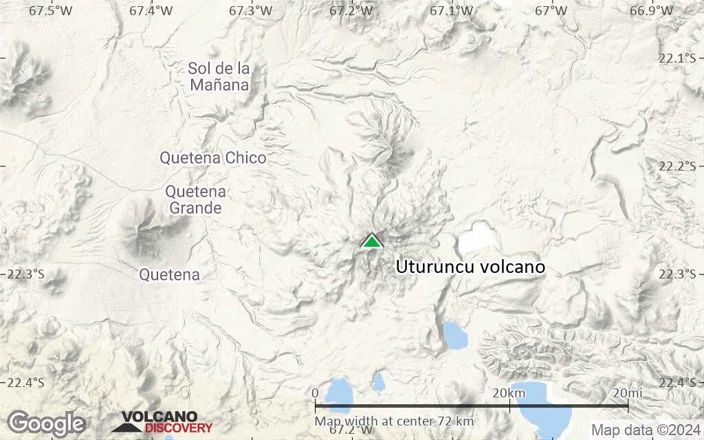
Terrain-type map of Uturuncu volcano (scale of 10s of km)
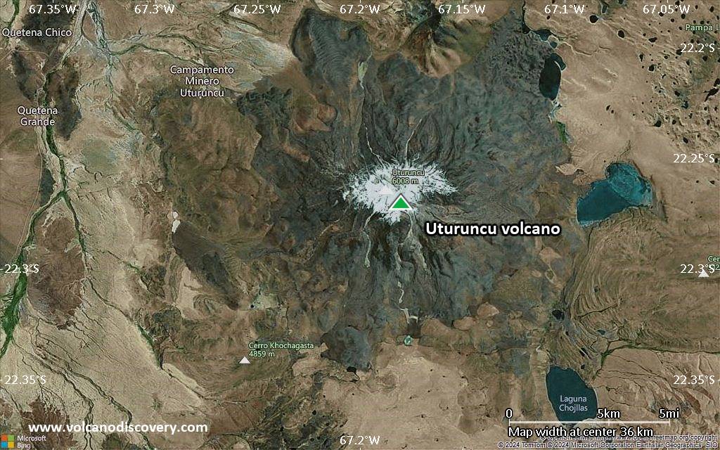
Satellite/aerial-type map of Uturuncu volcano (scale of 20-40 km)
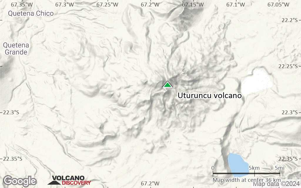
Terrain-type map of Uturuncu volcano (scale of 20-40 km)
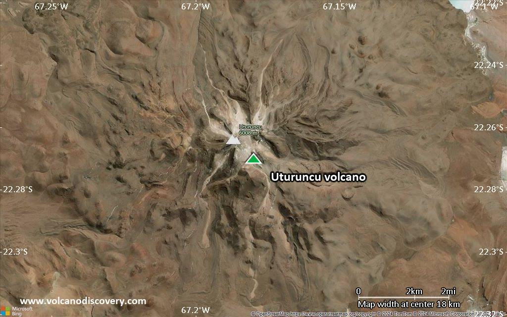
Satellite/aerial-type map of Uturuncu volcano (scale of approx. 10-20 km)
Terrain-type map of Uturuncu volcano (scale of approx. 10-20 km)
Satellite/aerial-type map of Uturuncu volcano (scale of 5-10 km)
Satellite/aerial-type map of Uturuncu volcano (scale of few kilometers)


