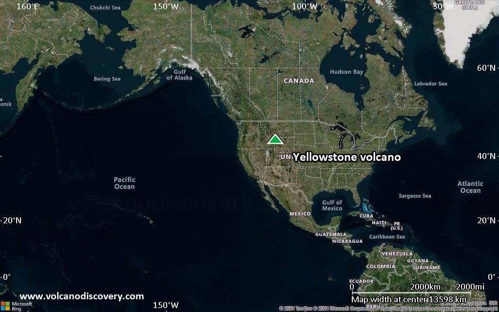
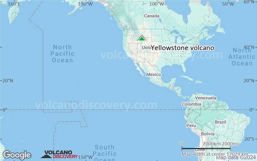
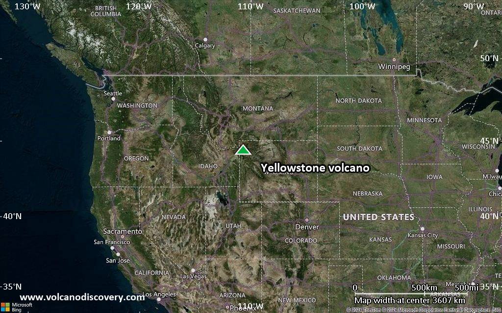
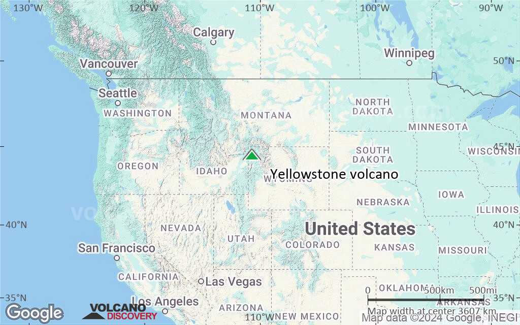
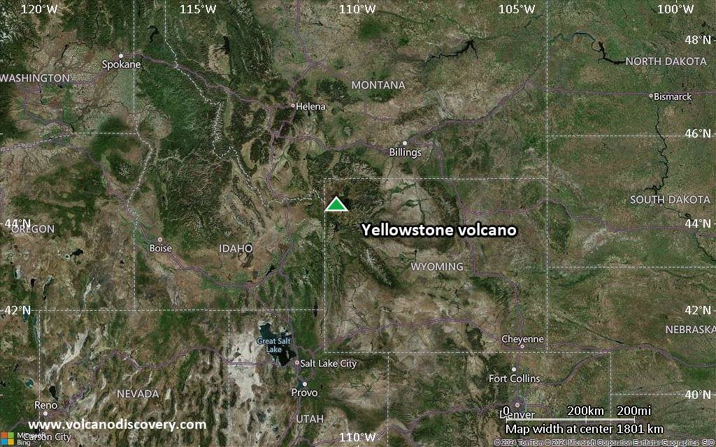
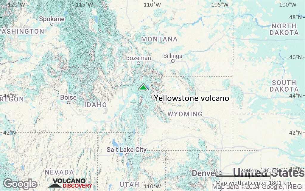
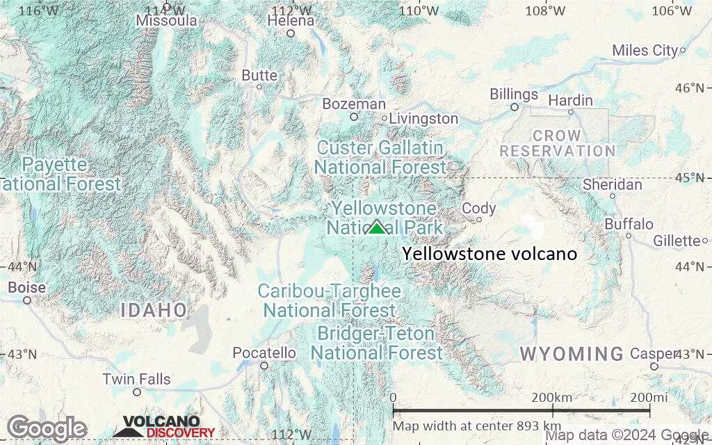
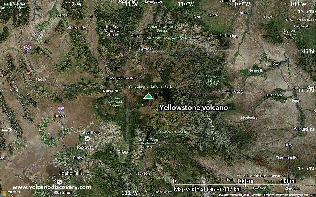
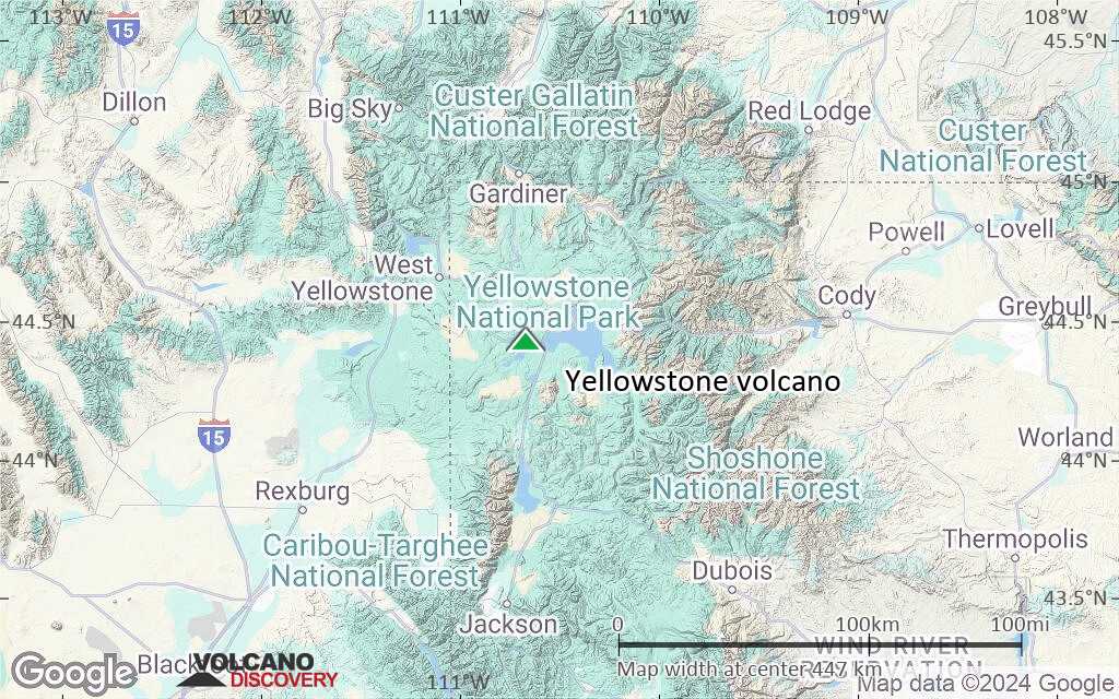
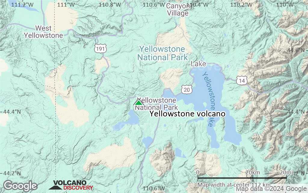
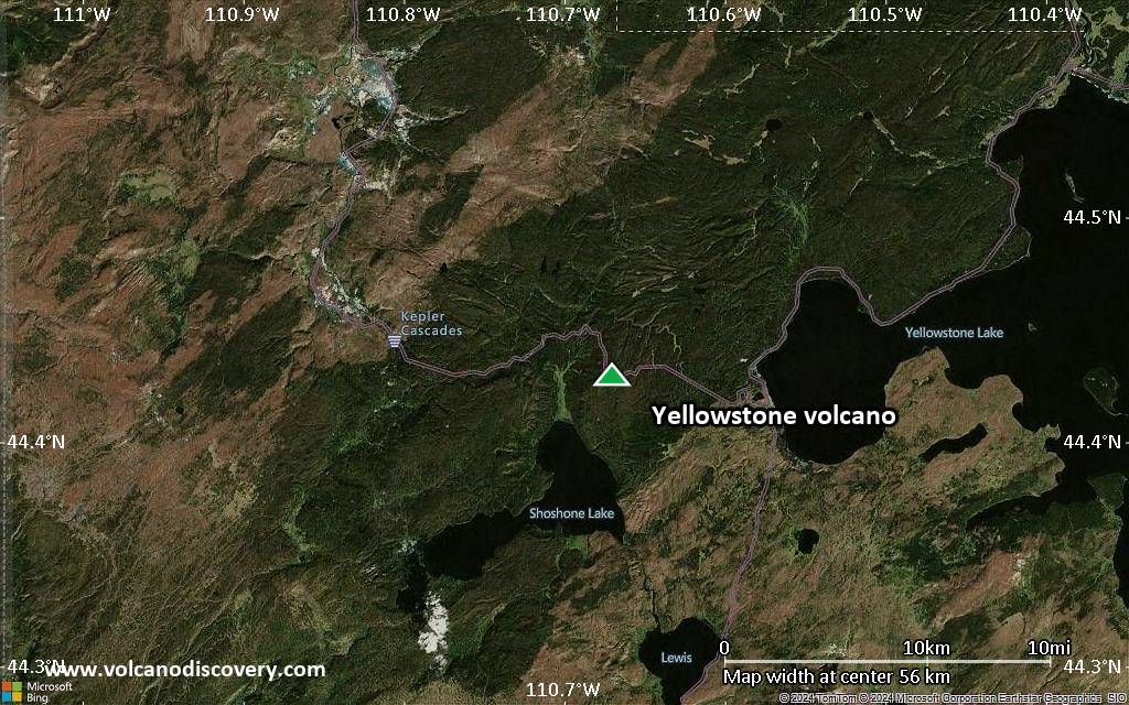
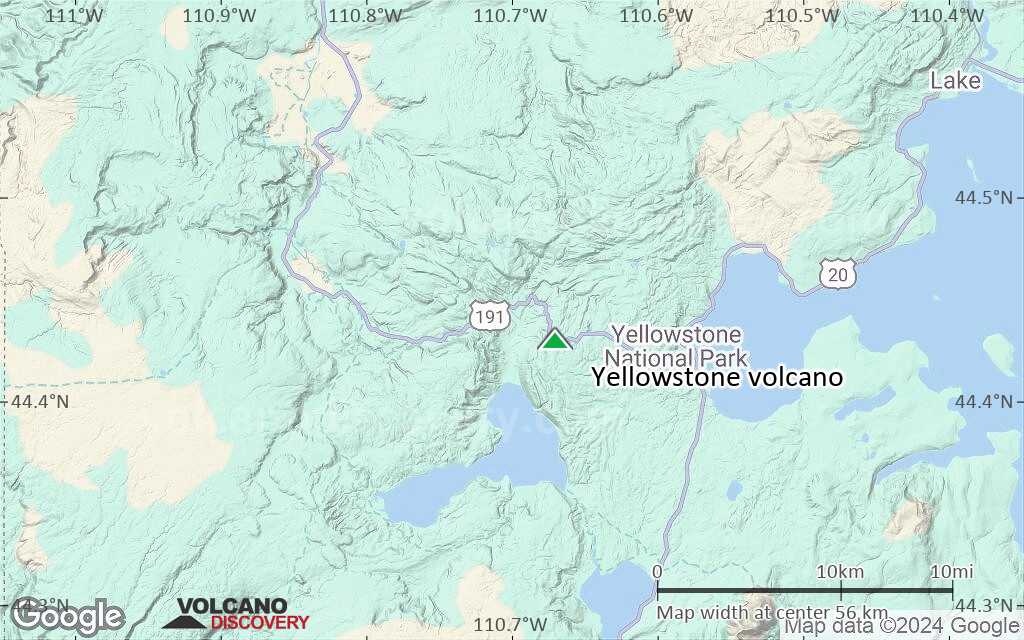
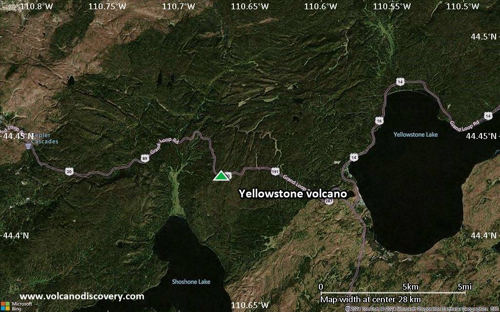
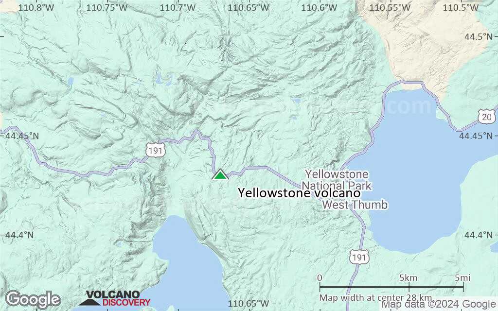
| RSS | EN | DE | EL | ES | FR | IT | RU

Yellowstone Volcano

Updated: May 1, 2025 15:03 GMT -
super-volcano, calderas
Wyoming, USA, 44.43°N / -110.67°W
Summit height: 2805 m / 9,203 feet
Current status: normal or dormant (1 out of 5)
Last update: 24 Jul 2024 (hydrothermal explosion yesterday)

Yellowstone is one of the largest known volcanoes in the world and the largest volcanic system in North America. The volcano is found above an intra-plate hot spot that has been feeding the magma chamber underneath Yellowstone for at least 2 million years.
The giant caldera is the product of large-scale collapse of the crust after 3 so-called ultra-Plinian or super-volcano eruptions - large explosive events that erupt several hundreds to few thousands of cubic km of magma. These eruptions took place 2.1, 1.3 and 0.64 million years ago.
Yellowstone is also the world's largest hydrothermal system. It contains 182 geysers, mud pools and fumaroles. The most famous feature in Yellowstone is Old Faithful Geyser.

Future super-volcano eruptions at Yellowstone?
Yellowstone's magma chamber is believed to be still active and contain at least 15,000 cubic km of melt.
It cannot be ruled out, nor predicted that there will be another super-volcano eruption at Yellowstone in some (geologic) future.
In recent years, the caldera has been studied and is being monitored more closely. In recent years, Yellowstone has been showing unrest in the form of deformation, ground uplift, temperature changes, and seismic swarms, all of which have been followed with great interest and rising some concern. 70 small earthquake swarms were recorded at Yellowstone volcano between 1983 and 2006. On the other hand, such activity is probably entirely normal for a large dormant super-volcano.
Despite the unrest, there is currently no reason to believe that these are precursors to another large super-volcano eruption to happen in the nearer future (years to decades). More likely, these are normal activities in dormant stages of large active volcanic systems. In addition, most of the activity can be related to the hydrothermal system rather than the magma chamber itself.
Statistically, even though the interval of time lapsed since the last such eruption is similar to the intervals separating the past 3 eruptions, statistical likelihood that such an event will repeat itself in the next few 100 years is very low. Unfortunately, most media reports in recent years have been exaggerating this risk greatly.

[smaller] [larger]
Typical eruption style: explosive
Yellowstone volcano eruptions: 1350 BC ± 200 years
caldera-forming eruptions 70,000 BP, 160,000 BP, and 640,000 years ago (BP)

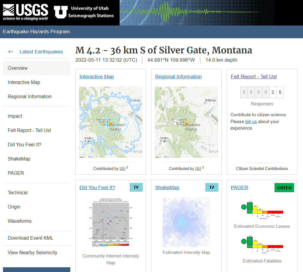
Latest nearby earthquakes

Date and TimeMag / DepthDistance / Location
Apr 30, 12:08 pm (Universal Time)
0.4

5.1 km
19 km (12 mi) to the N 37 km ESE of West Yellowstone, Montana Info
Tuesday, April 29, 2025 GMT (2 quakes)
Apr 29, 05:22 am (Universal Time)
0.8

4.6 km
21 km (13 mi) to the W 24 km SE of West Yellowstone, Montana Info
Apr 29, 04:12 am (Universal Time)
1.0

4.3 km
24 km (15 mi) to the W 25 km SSE of West Yellowstone, Montana Info
Monday, April 28, 2025 GMT (2 quakes)
Apr 28, 11:29 am (GMT -6)
0.7

2.5 km
12 km (7.7 mi) to the NE 44 km ESE of West Yellowstone, Montana Info
Apr 28, 06:57 am (Universal Time)
0.8

1.6 km
26 km (16 mi) to the NE 55 km SSE of Mammoth, Wyoming Info
Saturday, April 26, 2025 GMT (1 quake)
Apr 26, 10:22 am (GMT -6)
0.7

4 km
10.2 km (6.4 mi) to the N 39 km ESE of West Yellowstone, Montana Info
Thursday, April 24, 2025 GMT (1 quake)
Apr 24, 04:23 am (Universal Time)
0.4

2 km
22 km (14 mi) to the NE 51 km SSE of Mammoth, Wyoming Info
Friday, April 18, 2025 GMT (1 quake)
Apr 17, 10:15 pm (GMT -6)
1.1

7.8 km
27 km (17 mi) to the N 26 km E of West Yellowstone, Montana Info

Background

The Yellowstone Plateau developed through 3 volcanic cycles over 2 million years that included some of the world's largest known eruptions. Eruption of the >2450 km3 Huckleberry Ridge Tuff about 2.1 million years ago created the more than 75-km-long Island Park caldera.
The second cycle concluded with the eruption of the Mesa Falls Tuff around 1.3 million years ago, forming the 16-km-wide Henrys Fork caldera at the western end of the first caldera.
Activity then shifted to the present Yellowstone Plateau and culminated 640,000 years ago with the eruption of the >1000 cu km Lava Creek Tuff and the formation of the present 45 x 85 km caldera.
Resurgent doming subsequently occurred at both the NE and SW sides of the caldera and voluminous (1000 km3) intra-caldera rhyolitic lava flows were erupted between 150,000 and 70,000 years ago.
No magmatic eruptions have occurred since the end of the Ice Age, but large hydrothermal eruptions took place near Yellowstone Lake during the Holocene.

Significant volcanic eruptions: Yellowstone volcano

In the past 10,000 years, Yellowstone has had only one confirmed historic eruption ###WHEN1###|only one confirmed historic eruption ###WHEN1### and one ###WHEN2### inferred from geological evidence|only one confirmed historic eruption ###WHEN1###, but at least ###NUM_INFERRED### eruptions can be inferred from geological evidence|at least ###NUM_CONFIRMED### confirmed eruptions, all documented by historical records or observations|at least ###NUM_CONFIRMED### confirmed volcanic eruptions, out of which ###NUM_HISTORIC### are documented by historical records, while the others can be inferred from geological evidence.
No historic eruptions are known from Yellowstone volcano, but at least one eruption ###WHEN2### can be inferred from geological evidence|evidence from at least ###NUM_CONFIRMED### eruptions during the past 10,000 years can be found in the geological record.

The table below lists all known eruptions (date in bold face) of Yellowstone volcano in historic times and during the past 10,000 years. Updates on the most recent volcanic activity of Yellowstone can be found on the news page of Yellowstone volcano.
DateNoteVEIDeathsDamage
2016 Jun 9
(eruptive episode 2016 Jun 9)
01
Info
Remark:
Our list of volcanic eruptions closely follows the database of eruptions of the Smithsonian's Global Volcanism Project (GVP), the internationally most recognized data source for volcanic eruptions, but also includes significant eruptive episodes or related volcano events. "Volcanic eruptions" are usually to be understood as sequences of individual eruptive episodes that can follow each other, or even overlap (if several vents are involved), and can last many years, decades or even longer. For example, the current activity of Stromboli volcano is understood as a single eruption that has been ongoing since 1934.
Sources: NOAA National Centers for Environmental Information (NCEI), Global Significant Volcanic Eruptions Database. doi:10.7289/V5TD9V7K | Global Volcanism Project / Smithsonian Institution

Eruptions of Yellowstone volcano


2010 seismic unrest
In January-February 2010 the second largest recorded earthquake swarm was recorded at Yellowstone, with over 1800 tremors, the largest being magnitude 3.8 and felt in the park and surroundings. USGS scientists believe that most of the earthquakes were tectonic in origin caused by regional extension, while others were caused by geothermal activity.

2008 unrest
Between 26 and 31 December 2008, an earthquake swarm with over 250 events occurred under Yellowstone Lake, three to six miles south-southeast of Fishing Bridge. The largest earthquake was a magnitude 3.9 at 10:15 pm MST on 27 December. 9 earthquakes measured between M3 and M3.9 and 24 between M2 to M2.9. Some of the quakes were felt in Yellowstone National park.

2003 unrest
Changes in Norris Geyser Basin were observed in 2003 and hiking trails were closed as safetyl measures. New fumaroles were observed and some geysers had elevated temperatures.

Prominent features at Yellowstone
Yellowstone National Park is well known for its geysers, colorful springs and scenic landscapes:
Old Faithful Area
Features include Upper Geyser Basin, Lower Geyser Basin, Midway Geyser Basin, Lone Star Geyser Basin, Shoshone Geyser Basin, Craig Pass/Isa Lake, and many waterfalls.
Norris Geyser Basin
This area has the hottest geothermal vents at Yellowstone. Features include Roaring Mountain, Gibbon River, Virginia Cascades, and Norris-Canyon Blowdown.
Mammoth Hot Springs
Travertine terraces created by hot springs flowing up through limestone. Hydrocarbon ions combine with calcium to precipitate as travertine. Features of the area include Gardner River Canyon, Boiling River, Mt. Everts, and Bunsen Peak.
Madison Area
Interesting features include the colorful lake Artist Paint Pots, Gibbon Falls, Monument Geyser Basin, Madison River, Terrace Springs, Firehole River, Firehole Canyon Drive and Firehole Falls.
Other Interesting Park Features
Yellowstone Lake, Abyss Pool, Fishing Cone, Isa Lake, Heart Lake, DeLacy Creek, Factory Hill, Lewis River, Red Mountains, Riddle Lake, Shoshone Lake, Snake River, Mud Volcano/Sulphur Caldron, Hayden and Pelican Valleys, Natural Bridge, Grand Canyon of the Yellowstone, Mt. Washburn, Tower Fall, and Calcite Springs.

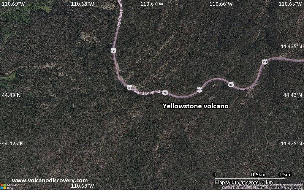
Latest satellite images

Yellowstone satellite image sat1Yellowstone satellite image sat2

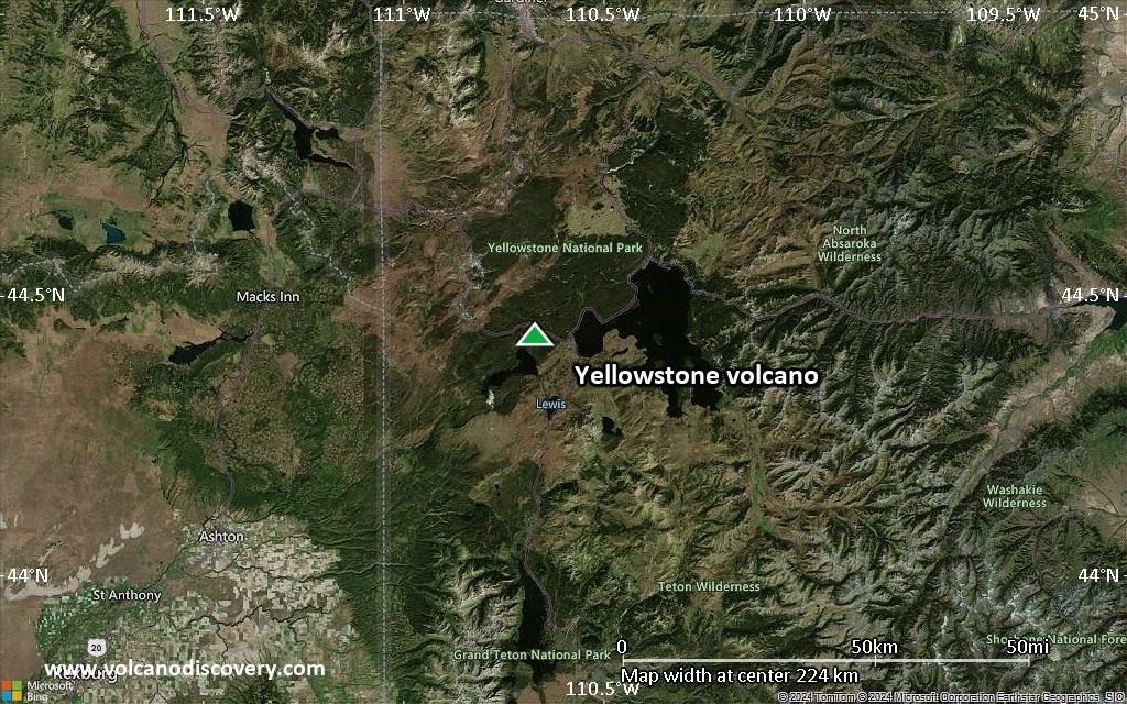
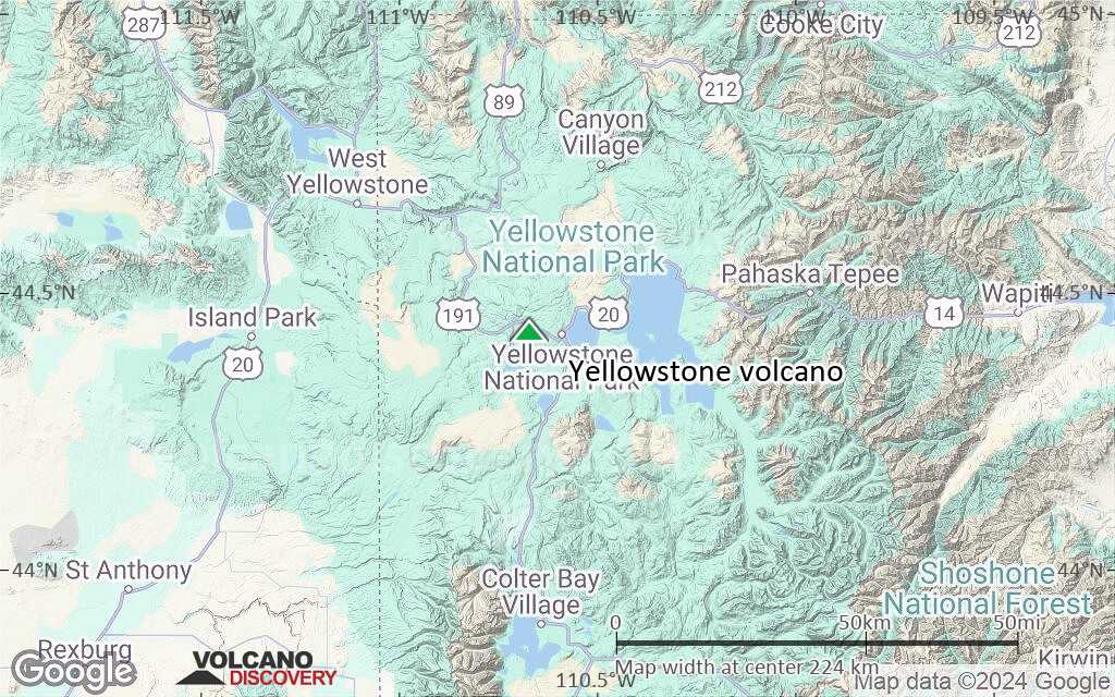
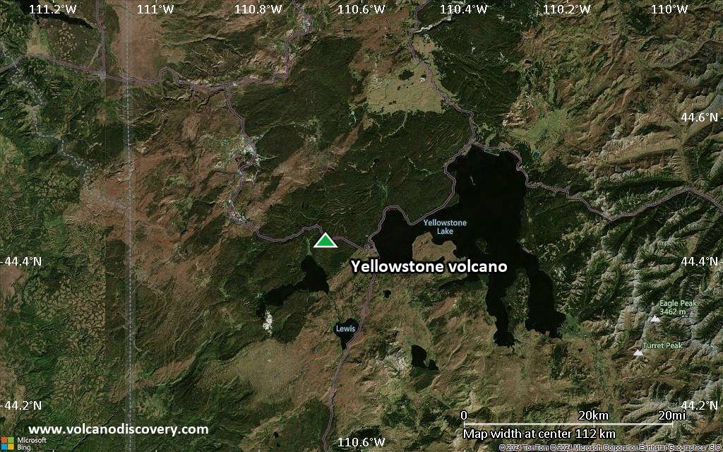
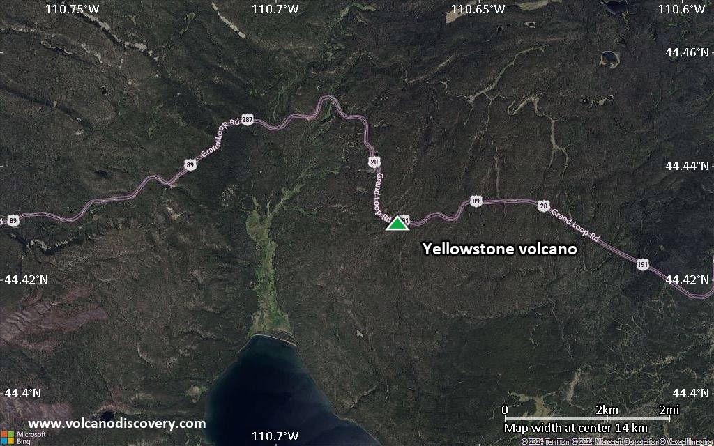
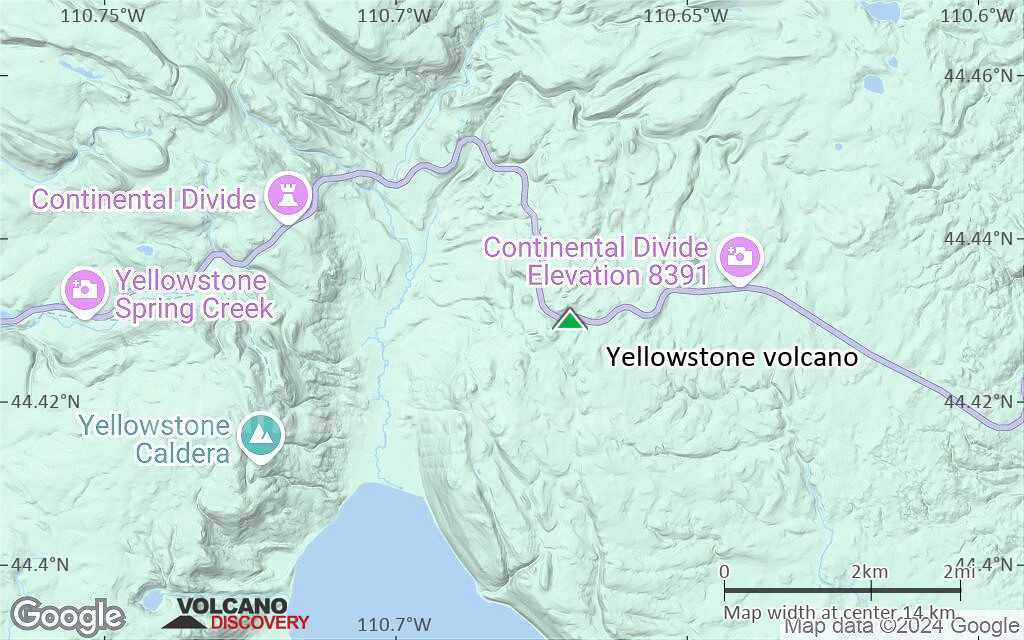
Yellowstone Volcano Maps

Below is a selection of maps showing the location and surroundings of the volcano at various resolutions based on aerial-imagery / terrain maps. Feel free to use them for non-commercial purposes on your blog or website as long as you credit them with a link back to this page (click to copy it).
Satellite/aerial-type map of Yellowstone volcano (world scale)
Terrain-type map of Yellowstone volcano (world scale)
Satellite/aerial-type map of Yellowstone volcano (region scale large)
Terrain-type map of Yellowstone volcano (region scale large)
Satellite/aerial-type map of Yellowstone volcano (region scale medium)
Terrain-type map of Yellowstone volcano (region scale medium)
Satellite/aerial-type map of Yellowstone volcano (region scale small)
Terrain-type map of Yellowstone volcano (region scale small)
Satellite/aerial-type map of Yellowstone volcano (local scale large)
Terrain-type map of Yellowstone volcano (local scale large)
Satellite/aerial-type map of Yellowstone volcano (local scale medium)
Terrain-type map of Yellowstone volcano (local scale medium)
Satellite/aerial-type map of Yellowstone volcano (local scale small)
Terrain-type map of Yellowstone volcano (local scale small)
Satellite/aerial-type map of Yellowstone volcano (scale of 10s of km)
Terrain-type map of Yellowstone volcano (scale of 10s of km)
Satellite/aerial-type map of Yellowstone volcano (scale of 20-40 km)
Terrain-type map of Yellowstone volcano (scale of 20-40 km)
Satellite/aerial-type map of Yellowstone volcano (scale of approx. 10-20 km)
Terrain-type map of Yellowstone volcano (scale of approx. 10-20 km)
Satellite/aerial-type map of Yellowstone volcano (scale of 5-10 km)
Satellite/aerial-type map of Yellowstone volcano (scale of few kilometers)
Volcanoes & Earthquakes - new app for Android
Guaranteed tours
9-25 Jun 2025: Volcanoes and Spices - Sulawesi/Halmahera (Indonesia)
7-22 Jul 2025: From Krakatau to Bali - Java (Indonesia)
7-23 Jul 2025: Volcanoes and Spices - Sulawesi/Halmahera (Indonesia)
1-17 Aug 2025: Volcanoes and Spices - Sulawesi/Halmahera (Indonesia)
1-14 Oct 2025: Desert, salt and volcanoes - Danakil desert (Ethiopia)
4-12 Oct 2025: From Stromboli to Etna - Sicily and Eolian Islands (Italy)
6-21 Oct 2025: From Krakatau to Bali - Java (Indonesia)
3-19 Nov 2025: Volcanoes and Spices - Sulawesi/Halmahera (Indonesia)
= spaces available   = guaranteed   = few spaces left   = booked out
Wed, 24 Jul 2024, 04:17

Yellowstone volcano (Wyoming, United States): hydrothermal explosion yesterday

The video screenshot from the explosion at Biscuit Basin thermal area yesterday (image: Vlada March/facebook.com)
At approximately 10:00 AM local time yesterday, a sudden small hydrothermal explosion occurred in Yellowstone National Park's Biscuit Basin thermal area, roughly 2.1 miles (3.5 km) northwest of Old Faithful. ... Read all
Wed, 11 May 2022, 18:39

Yellowstone volcano (United States): small earthquake

University of Utah Earthquake Hazards Program Website. Photo Credit: USGS.
The University of Utah Seismograph Stations reported that a light earthquake of magnitude 4.2 occurred at 07:32 AM on May 11, 2022 (MDT). ... Read all

On this page:

Try our free app!
Volcanoes & Earthquakes - new app for Android
Android | iOS version

More on VolcanoDiscovery

Why is there advertising on this site?

Support us - Help us upgrade our services!

We truly love working to bring you the latest volcano and earthquake data from around the world. Maintaining our website and our free apps does require, however, considerable time and resources.
We need financing to increase hard- and software capacity as well as support our editor team. We're aiming to achieve uninterrupted service wherever an earthquake or volcano eruption unfolds, and your donations can make it happen! Every donation will be highly appreciated. If you find the information useful and would like to support our team in integrating further features, write great content, and in upgrading our soft- and hardware, please make a donation (PayPal).

Planned features:Thanks to your past donations, these features have been added recently:
Download and Upgrade the Volcanoes & Earthquakes app to get one of the fastest seismic and volcano alerts online:
Android | IOS
Thank you!
Sources: VolcanoDiscovery / VolcanoAdventures and other sources as noted.
Use of material: Most text and images on our websites are owned by us. Re-use is generally not permitted without authorization. Contact us for licensing rights.
Volcanoes & Earthquakes
VolcanoDiscovery Home
Volcanoes | Earthquakes | Photos | Volcano News | | Shop | App
Adventure & Study Travel
Tours to Volcanoes and Volcanic Areas: walking tours, photo tours, study tours
Tours & Dates | FAQ | About us
Get our newsletter!
Company info
Contact | Legal info | Terms & conditions
Follow us
Follow us on facebook Follow us on Instagram Follow us on Bluesky Follow us on Twitter Visit our Youtube channel
EN | DE | EL | ES | FR | IT | RU
VolcanoDiscovery GmbH, Germany, Reg. nr.: HRB 103744, EU Tax Id: DE 297 465 123 owned and created by
Dr. Tom Pfeiffer, volcanologist, volcano photographer, tour organizer member of
IAVCEI
IAVCEI
Vulkanologische Gesellschaft
Volcanological Society
Ecotourism Greece
Ecotourism Greece
RUV insurance
Insured by R+V
VolcanoDiscovery © 2004- All Rights Reserved | Privacy - Cookie Settings