Zuni-Bandera Volcano
Updated: Jun 15, 2025 18:59 GMT -
volcanic field
New Mexico (Canada and USA (mainland)), 34.8°N / -108°W 
Summit height: 2550 m / 8,366 ft
Current status: normal or dormant (1 out of 5)
The Zuni-Bandera volcanic field in New Mexico, is an elongated, 90 km long and 1-35 km wide arrea of 2460 km2 along the Jemez lineament west of the Rio Grande Rift.
The field contains cinder cones and extensive lava flows with various types of basalt lava. The youngest lava flow, the McCartys flow, traveled 60 km to the NE, fed by lava tubes up to 29 km long. Its activity is also found in Indian legends, which is why it was believed to be only 1000 years old, but radiocarbon dating suggests an older age, about 3000 years ago.
[smaller] [larger]
Zuni-Bandera volcano eruptions: 1170 BC ± 300 years (radiocarbon dated)
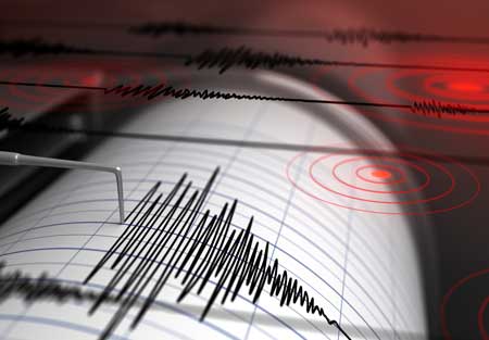
Latest nearby earthquakes
| Date and Time | Mag / Depth | Distance / Location | |||
|---|---|---|---|---|---|
Background
An older volcanic episode in the field comprises the vents along the Chain of Craters, which are dated to about 3.8-3.7 million years ago. The present-day episode began about 1.7 million years ago and has formed an extensive lava flow field known as El Malpais.The only other dated flow of Holocene age of the Zuni-Bandera field originated from Bandera Crater about 10,000 years ago. An earlier flow, the massive Pleistocene Fence Lake lava flow, traveled as far as 90 km to the west.
---
Source: GVP
Zuni-Bandera Volcano Photos
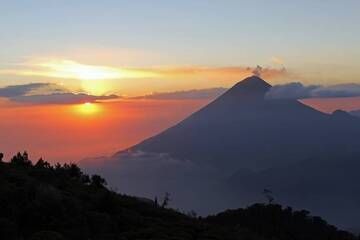
8. Volcan Santa Maria 3750m At Sunset From Near The Summit Of Volcan Zunil 3542m, Guatemala. (Photo: Jay Ramji)
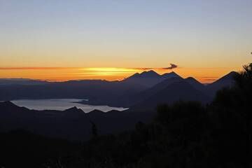
9. Volcanoes Around Lake Atitlan At Sunrise(San Pedro, Atitlan, Toliman And At The Back Fuego, Acatenango And Agua), From Near The Summit Of Volcan Zunil 3542m, Guatemala...
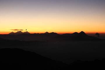
10. Distant View Of The Volcanoes From The Summit Of Volcan Tajumulco 4220m At Sunrise - From Right To Left - Santaguito (Erupting), Santa Maria, Santo Tomas, Zunil, Atit...
Significant volcanic eruptions: Zuni-Bandera volcano
No historic eruptions are known from Zuni-Bandera volcano, but evidence from at least 2 eruptions during the past 10,000 years can be found in the geological record.
The table below lists all known eruptions (date in bold face) of Zuni-Bandera volcano in historic times and during the past 10,000 years. Updates on the most recent volcanic activity of Zuni-Bandera can be found on the news page of Zuni-Bandera volcano.
| Date | Note | VEI | Deaths | Damage | |
|---|---|---|---|---|---|
| McCartys flow | 0 | ||||
| Bandera Crater | ? | ||||
Remark:
Our list of volcanic eruptions closely follows the database of eruptions of the Smithsonian's Global Volcanism Project (GVP), the internationally most recognized data source for volcanic eruptions, but also includes significant eruptive episodes or related volcano events. "Volcanic eruptions" are usually to be understood as sequences of individual eruptive episodes that can follow each other, or even overlap (if several vents are involved), and can last many years, decades or even longer. For example, the current activity of Stromboli volcano is understood as a single eruption that has been ongoing since 1934.
Sources: NOAA National Centers for Environmental Information (NCEI), Global Significant Volcanic Eruptions Database. doi:10.7289/V5TD9V7K | Global Volcanism Project / Smithsonian Institution
Zuni-Bandera Volcano FAQ
+When was the last eruption of Zuni-Bandera volcano?
The last confirmed eruption of Zuni-Bandera occurred around 1170 BC.
Latest satellite images
Zuni-Bandera Volcano Maps
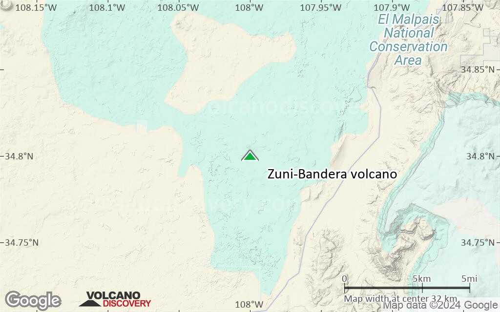
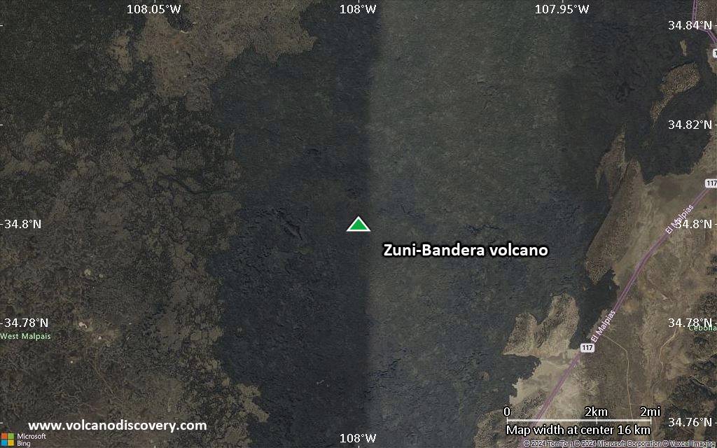
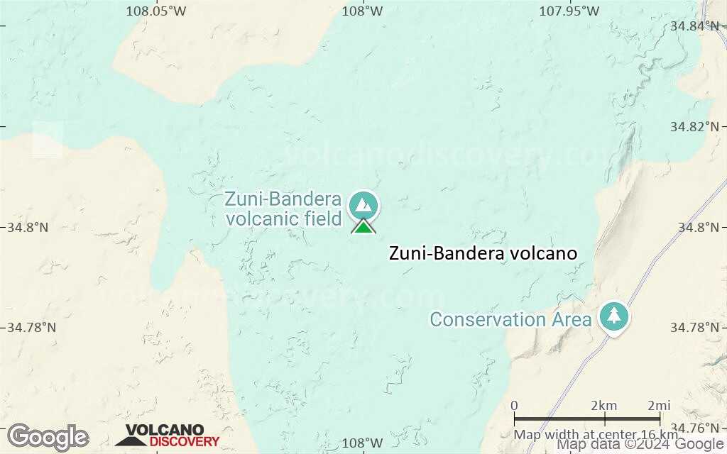
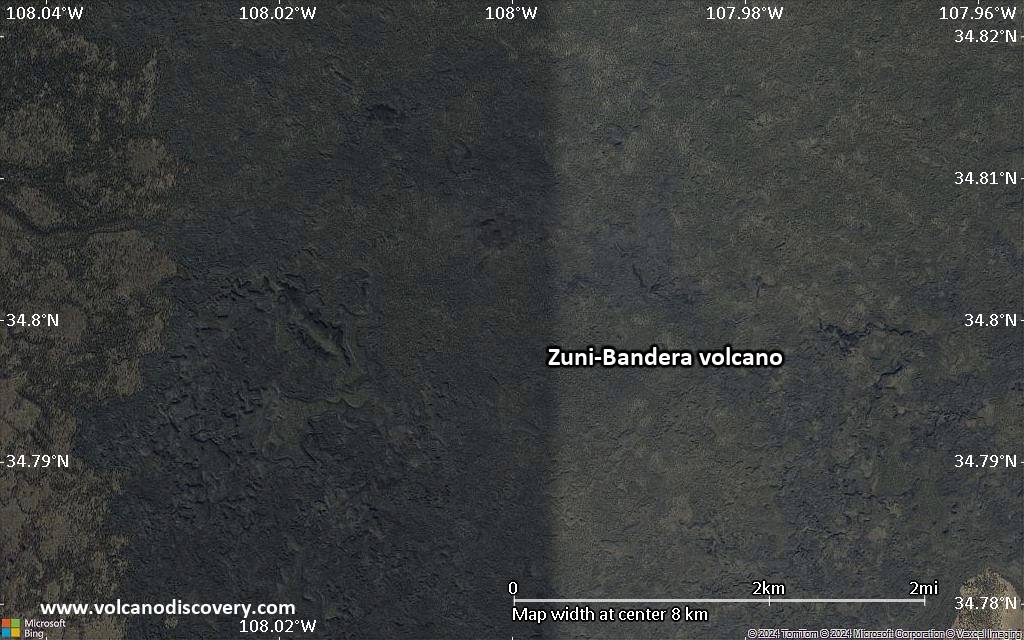
Below is a selection of maps showing the location and surroundings of the volcano at various resolutions based on aerial-imagery / terrain maps. Feel free to use them for non-commercial purposes on your blog or website as long as you credit them with a link back to this page (click to copy it).
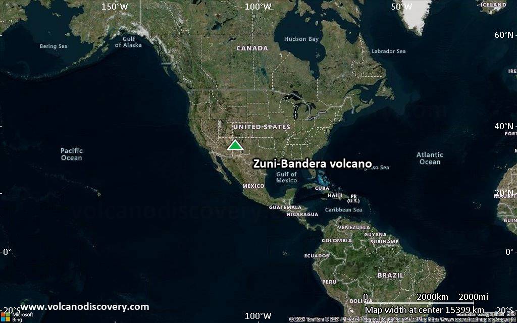
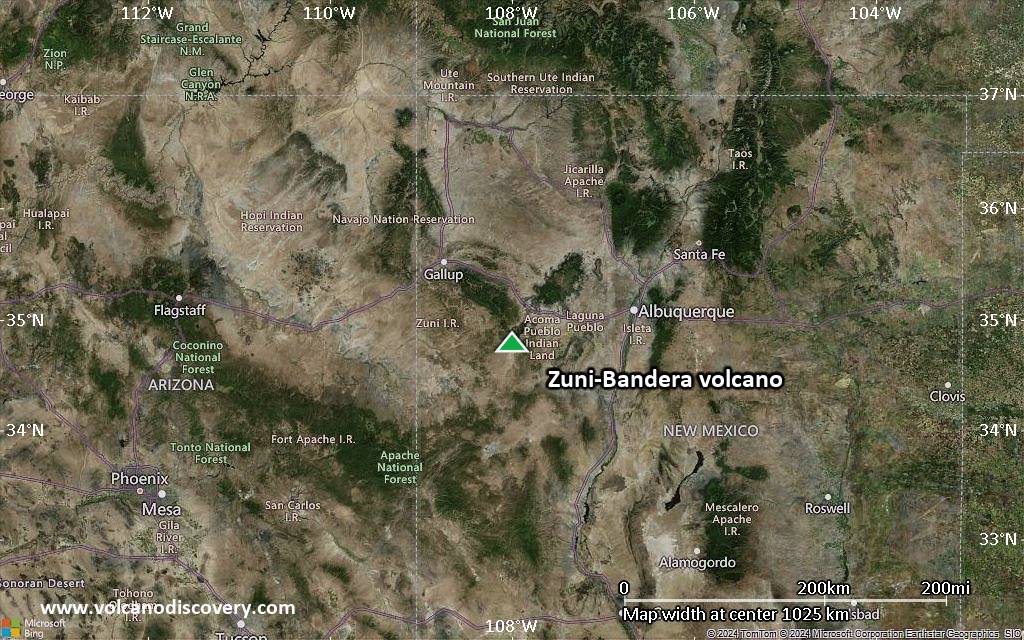
Satellite/aerial-type map of Zuni-Bandera volcano (world scale)
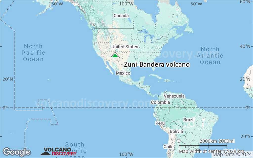
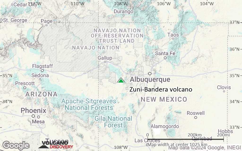
Terrain-type map of Zuni-Bandera volcano (world scale)
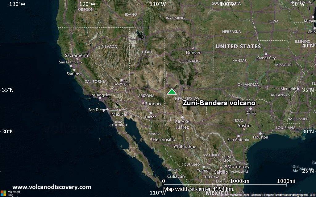
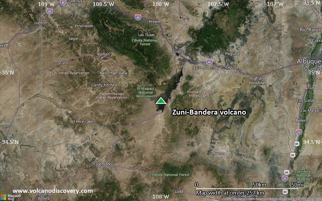
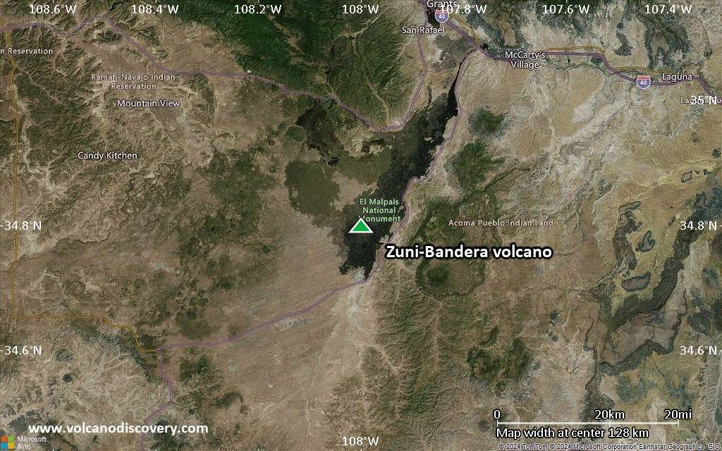
Satellite/aerial-type map of Zuni-Bandera volcano (region scale large)
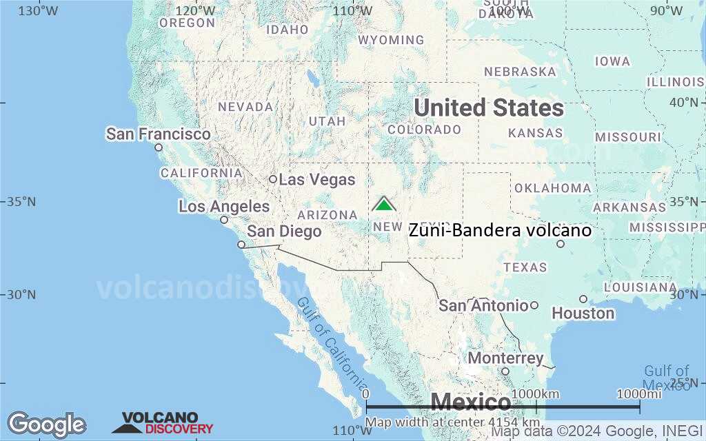
Terrain-type map of Zuni-Bandera volcano (region scale large)
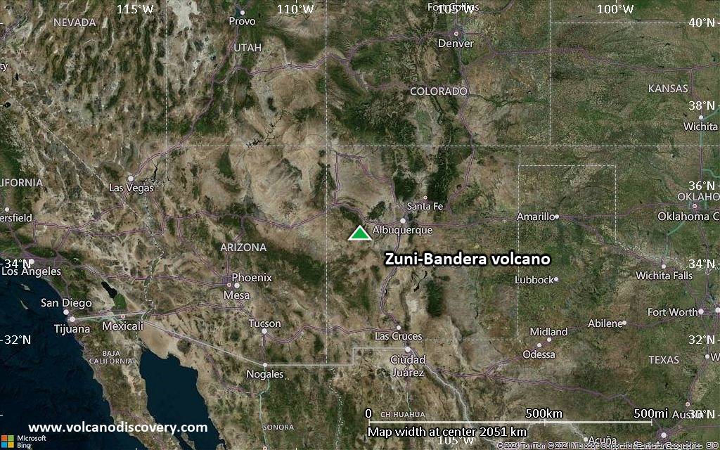
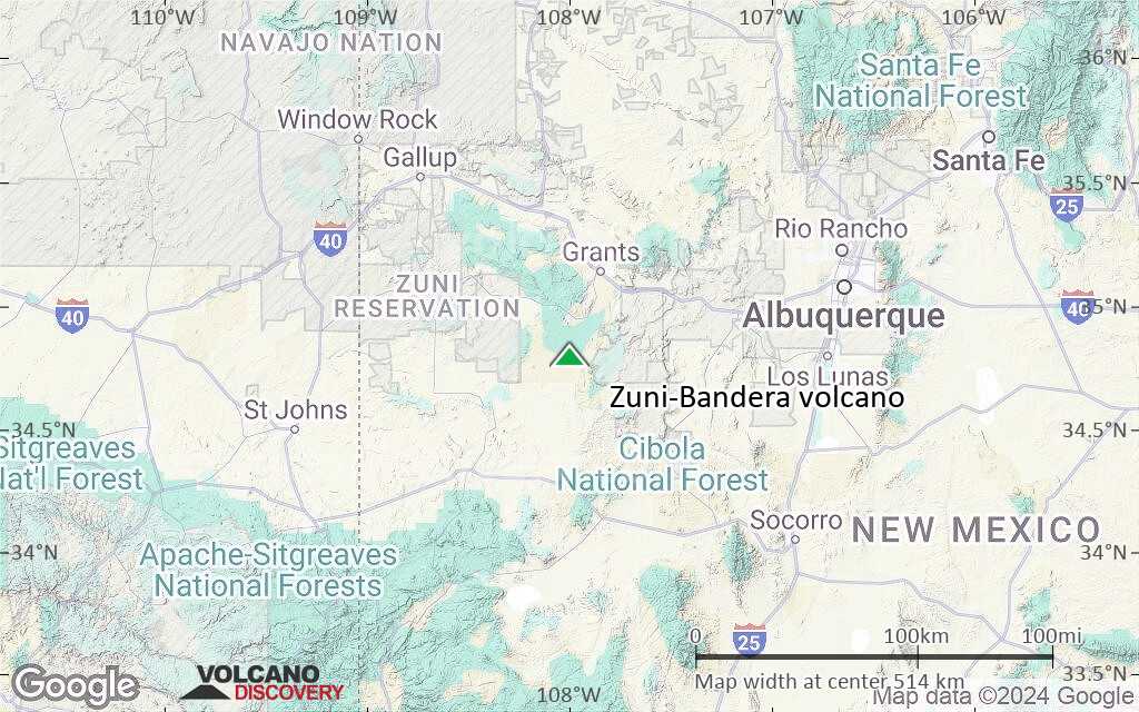
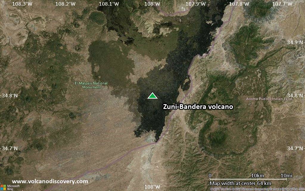
Satellite/aerial-type map of Zuni-Bandera volcano (region scale medium)
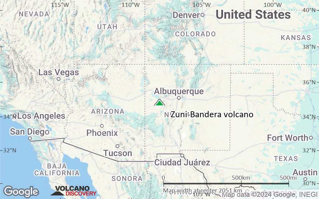
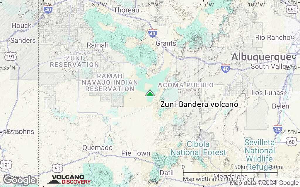
Terrain-type map of Zuni-Bandera volcano (region scale medium)
Satellite/aerial-type map of Zuni-Bandera volcano (region scale small)
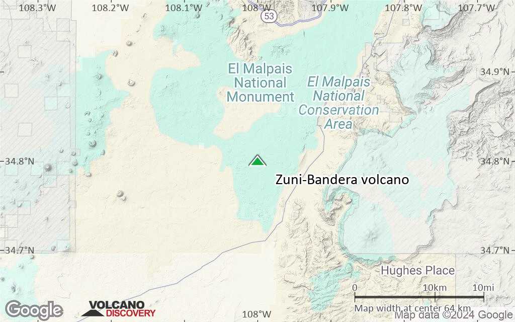
Terrain-type map of Zuni-Bandera volcano (region scale small)

Satellite/aerial-type map of Zuni-Bandera volcano (local scale large)
Terrain-type map of Zuni-Bandera volcano (local scale large)
Satellite/aerial-type map of Zuni-Bandera volcano (local scale medium)
Terrain-type map of Zuni-Bandera volcano (local scale medium)
Satellite/aerial-type map of Zuni-Bandera volcano (local scale small)

Terrain-type map of Zuni-Bandera volcano (local scale small)
Satellite/aerial-type map of Zuni-Bandera volcano (scale of 10s of km)
Terrain-type map of Zuni-Bandera volcano (scale of 10s of km)

Satellite/aerial-type map of Zuni-Bandera volcano (scale of 20-40 km)
Terrain-type map of Zuni-Bandera volcano (scale of 20-40 km)
Satellite/aerial-type map of Zuni-Bandera volcano (scale of approx. 10-20 km)
Terrain-type map of Zuni-Bandera volcano (scale of approx. 10-20 km)
Satellite/aerial-type map of Zuni-Bandera volcano (scale of 5-10 km)
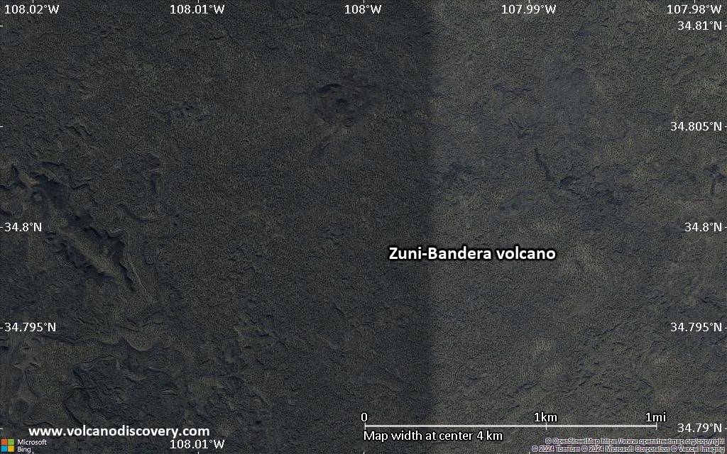
Satellite/aerial-type map of Zuni-Bandera volcano (scale of few kilometers)