


North Vate Volcano
Updated: Oct 31, 2025 10:10 GMT -
Stratovolcanoes
Vanuatu, -17.47°S / 168.35°E 
Summit height: 594 m / 1,949 ft
Current status: normal or dormant (1 out of 5)
[smaller] [larger]
North Vate volcano eruptions: unknown, no recent eruptions
Latest nearby earthquakes
Background
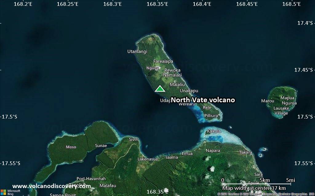
The islands of Nguna, Pele, and Emau, north of Vate Island (also known as Efaté), have been variously mapped as Pleistocene and Pleistocene to Holocene. Late-Pleistocene to Holocene eruptions constructed composite basaltic cones with well-preserved craters. Largely submarine calderas north of Vate Island of varying sizes have been inferred, ranging from a large caldera whose southern rim is defined by the islands of Nguna, Pele, and Emao to a smaller caldera, but their submarine morphology is difficult to define. Pumiceous deposits of the Efaté Pumice Formation cover much of Vate (Efaté) Island and record a major trachydacitic explosive eruption about 1 million years ago that originated from a submarine vent somewhere north of the island.---
Smithsonian / GVP volcano information
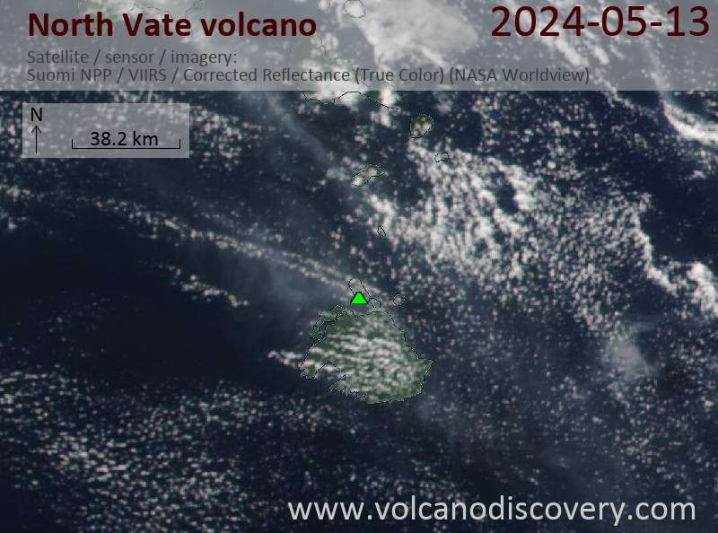
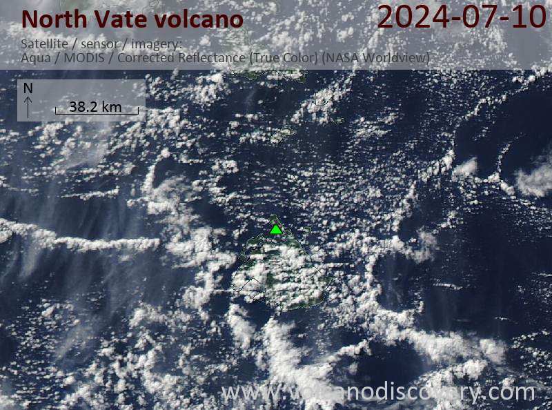
Latest satellite images
North Vate Volcano Maps
Below is a selection of maps showing the location and surroundings of the volcano at various resolutions based on aerial-imagery / terrain maps. Feel free to use them for non-commercial purposes on your blog or website as long as you credit them with a link back to this page (click to copy it).

Satellite/aerial-type map of North Vate volcano (world scale)

Terrain-type map of North Vate volcano (world scale)

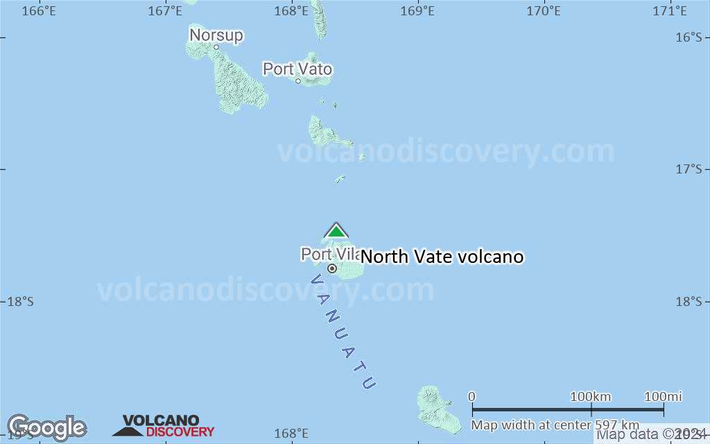
Satellite/aerial-type map of North Vate volcano (region scale large)

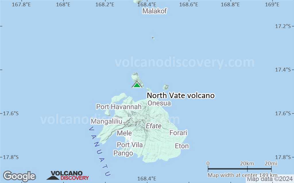
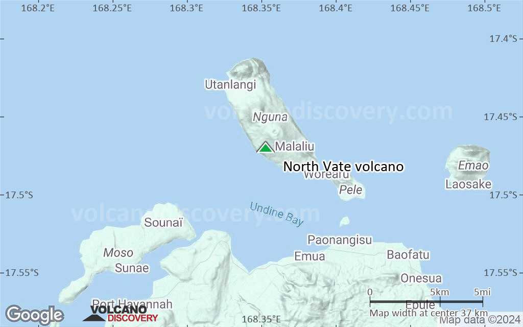
Terrain-type map of North Vate volcano (region scale large)

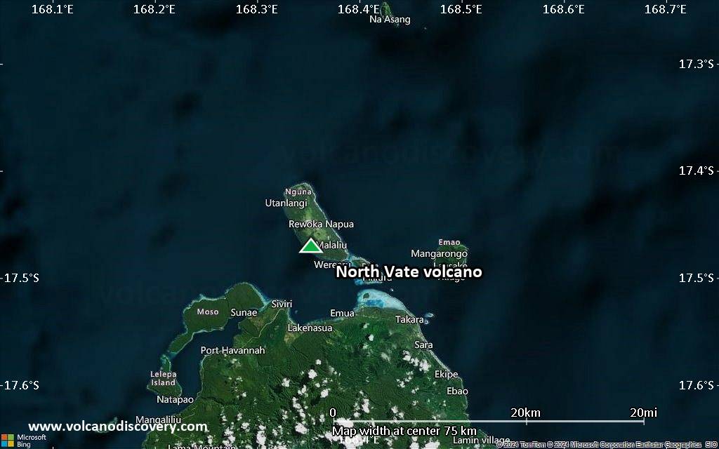
Satellite/aerial-type map of North Vate volcano (region scale medium)

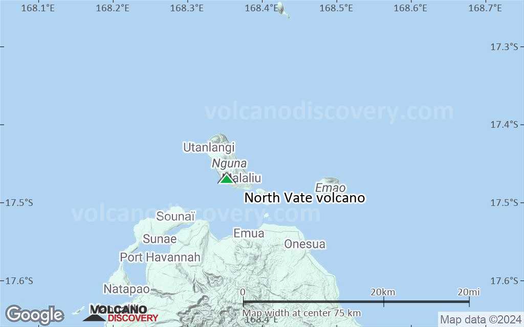
Terrain-type map of North Vate volcano (region scale medium)

Satellite/aerial-type map of North Vate volcano (region scale small)

Terrain-type map of North Vate volcano (region scale small)

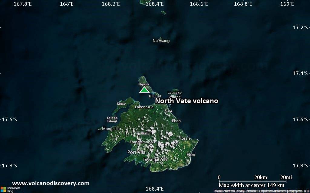
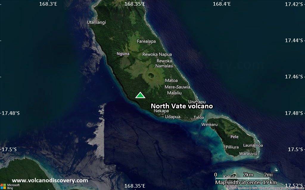
Satellite/aerial-type map of North Vate volcano (local scale large)
Terrain-type map of North Vate volcano (local scale large)

Satellite/aerial-type map of North Vate volcano (local scale medium)

Terrain-type map of North Vate volcano (local scale medium)
Satellite/aerial-type map of North Vate volcano (local scale small)
Terrain-type map of North Vate volcano (local scale small)
Satellite/aerial-type map of North Vate volcano (scale of 10s of km)
Terrain-type map of North Vate volcano (scale of 10s of km)
Satellite/aerial-type map of North Vate volcano (scale of 20-40 km)
Terrain-type map of North Vate volcano (scale of 20-40 km)
Satellite/aerial-type map of North Vate volcano (scale of approx. 10-20 km)

Terrain-type map of North Vate volcano (scale of approx. 10-20 km)

Satellite/aerial-type map of North Vate volcano (scale of 5-10 km)

Satellite/aerial-type map of North Vate volcano (scale of few kilometers)


