Akhtang Volcano
Updated: Jul 6, 2025 15:58 GMT -
Shield volcano
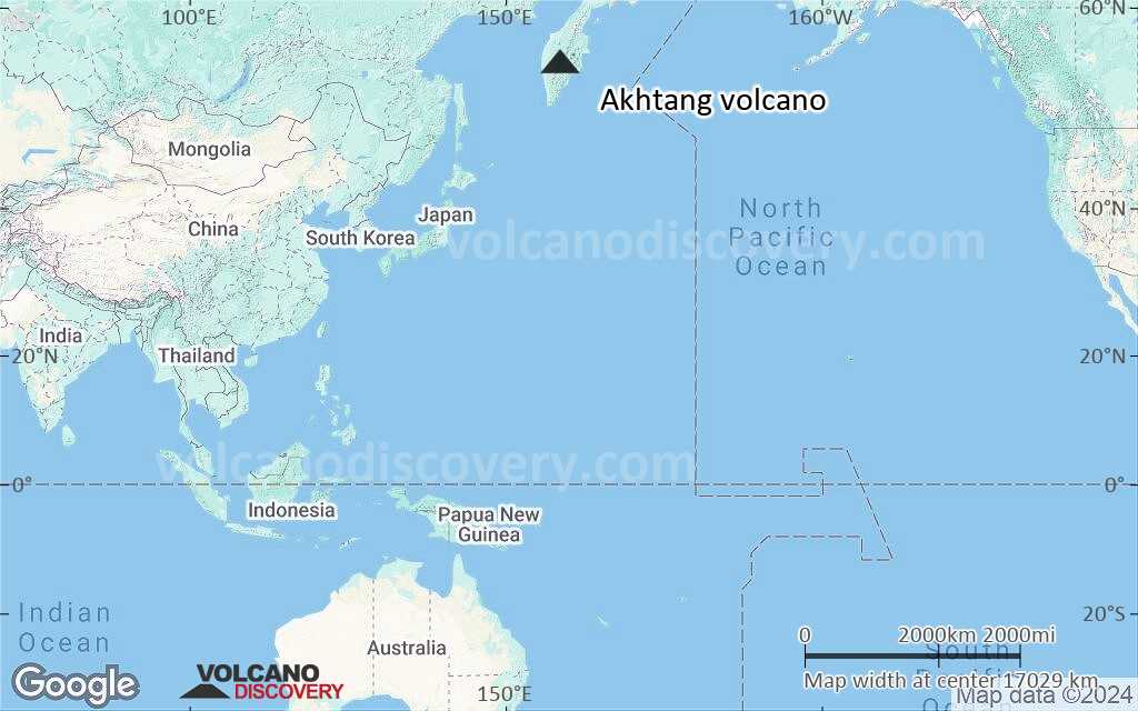
Kamchatka, Russia, 55.43°N / 158.65°E 
Summit height: 1956 m / 6,417 ft
Current status: (probably) extinct (0 out of 5)
[smaller] [larger]
Akhtang volcano eruptions: unknown, no recent eruptions
Latest nearby earthquakes
| Date and Time | Mag / Depth | Distance / Location | |||
|---|---|---|---|---|---|
Background
The late-Pleistocene Icelandic-type Akhtang shield volcano is located between the Bolshaya Kimitina and Kozyrevka rivers SE of Ichinsky volcano in the southern Sredinny Range. Akhtang is topped by a small basaltic stratovolcano. A chain of NE-SW-trending cones that extends to the SW has been the source of young lava flows. Early geologic studies in the Sredinny Range (Ogorodov et al., 1972) identified numerous Holocene eruptive centers based primarily on morphological criteria. However, later work has suggested that Sredinny Range volcanoes are less mantled by Holocene tephras than eastern Kamchatka volcanoes and therefore appear more youthful, so that Holocene eruptions are uncertain for many of these Sredinny Range eruptive vents.---
Smithsonian / GVP volcano information
Latest satellite images
Akhtang Volcano Maps
Below is a selection of maps showing the location and surroundings of the volcano at various resolutions based on aerial-imagery / terrain maps. Feel free to use them for non-commercial purposes on your blog or website as long as you credit them with a link back to this page (click to copy it).

Satellite/aerial-type map of Akhtang volcano (world scale)
Terrain-type map of Akhtang volcano (world scale)

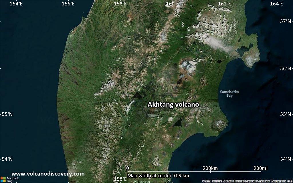
Satellite/aerial-type map of Akhtang volcano (region scale large)

Terrain-type map of Akhtang volcano (region scale large)

Satellite/aerial-type map of Akhtang volcano (region scale medium)

Terrain-type map of Akhtang volcano (region scale medium)
Satellite/aerial-type map of Akhtang volcano (region scale small)

Terrain-type map of Akhtang volcano (region scale small)

Satellite/aerial-type map of Akhtang volcano (local scale large)

Terrain-type map of Akhtang volcano (local scale large)

Satellite/aerial-type map of Akhtang volcano (local scale medium)

Terrain-type map of Akhtang volcano (local scale medium)

Satellite/aerial-type map of Akhtang volcano (local scale small)

Terrain-type map of Akhtang volcano (local scale small)

Satellite/aerial-type map of Akhtang volcano (scale of 10s of km)

Terrain-type map of Akhtang volcano (scale of 10s of km)

Satellite/aerial-type map of Akhtang volcano (scale of 20-40 km)

Terrain-type map of Akhtang volcano (scale of 20-40 km)

Satellite/aerial-type map of Akhtang volcano (scale of approx. 10-20 km)

Terrain-type map of Akhtang volcano (scale of approx. 10-20 km)

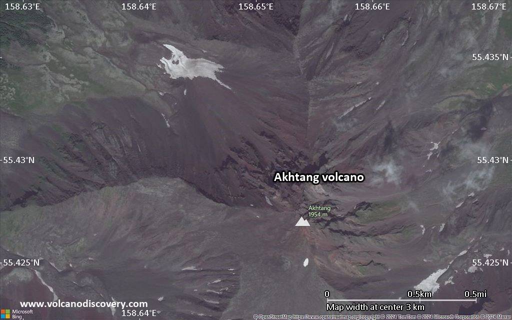
Satellite/aerial-type map of Akhtang volcano (scale of 5-10 km)
Satellite/aerial-type map of Akhtang volcano (scale of few kilometers)