


Apo Volcano
Updated: Nov 25, 2025 00:13 GMT -
stratovolcano
Mindanao, Philippines, 6.99°N / 125.27°E 
Summit height: 2938 m / 9,639 ft
Current status: normal or dormant (1 out of 5)
Apo volcano is the highest mountain in the Philippines, and its name means "Master" or "Grandfather". There are no known historic eruptions, but the volcano is considered still active.
[smaller] [larger]
Apo volcano eruptions: unknown
Latest nearby earthquakes
| Date and Time | Mag / Depth | Distance / Location | |||
|---|---|---|---|---|---|
| Nov 19, 02:51 pm (Universal Time) | 2.0 33 km | 27 km (17 mi) to the W | Info | ||
Background
Apo volcano is an a basaltic to basaltic-andesitic stratovolcano and part of the Central Mindanao Arc, but its volcanic history is poorly known. The densely forested volcano has a flat summit with 3 peaks, the highest of which in the SW is known as Davao volcano and has a 500 m wide crater with a small lake.The youngest crater is located on the northern peak. Several fumaroles and sulfur deposits occur on the volcano, most notably fumaroles along a fissure on the SE side down to 2400 m elevation.
The Mt. Apo Geothermal Field is a 8.4 km2 geothermal exploration field near Mt Apo, which has been being exploited since October 1996.
Apo Volcano Photos

Kawah Ratu - Mt. Tangkuban Perahu, West Java, Indonesia
Mt. Tangkuban Perahu is Bandung's most famous volcano just 28 km north of the city. This volcano has a ...
Mt. Tangkuban Perahu is Bandung's most famous volcano just 28 km north of the city. This volcano has a ...

A vertical jet as overheated water vapour condensates into billowing steam. (Photo: Tom Pfeiffer)

Underneath the facade of Naples'traditional buildings one can recognise the ca. 15,000 year old Neapolitan Yellow Tuff and clay bricks - the exact same building materials...

Anhydrite (gypsum) deposits are found as evaporites on the shore of the Okama lake (Zao volcano, Japan). (Photo: Tom Pfeiffer)
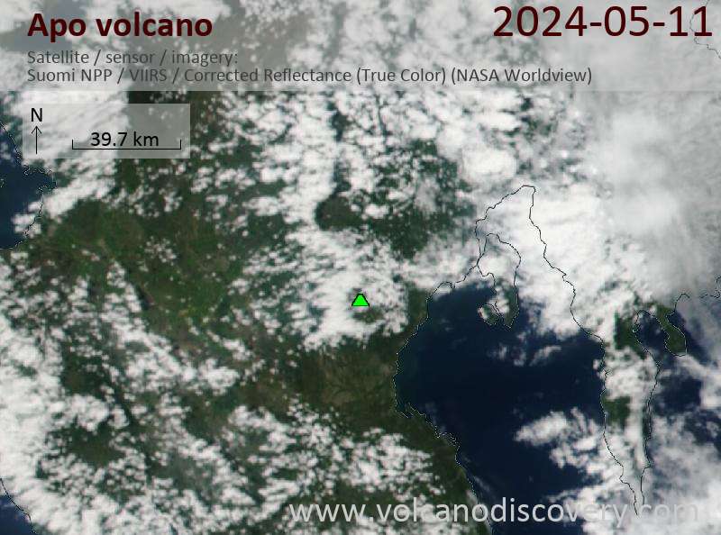
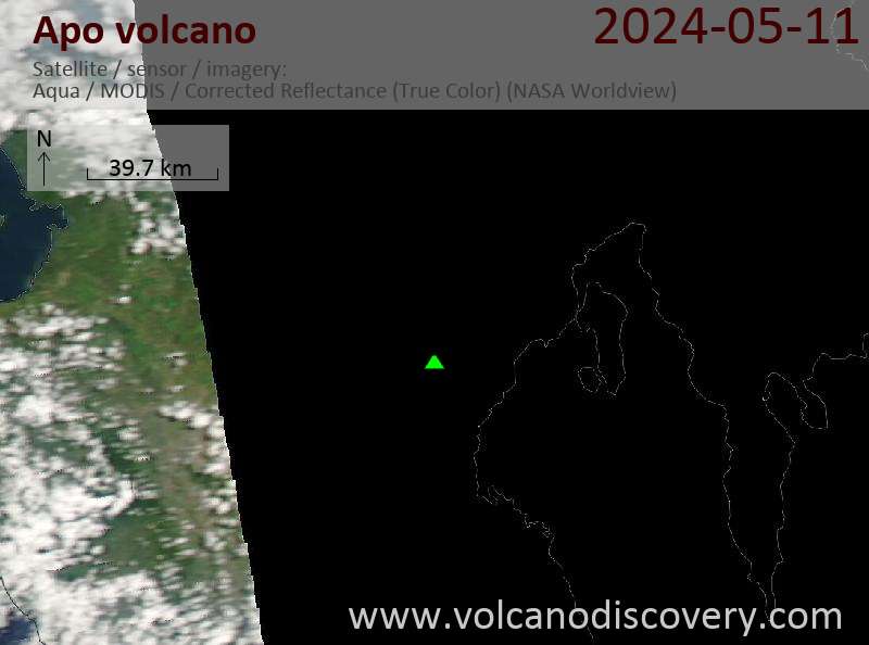
Latest satellite images
Apo Volcano Maps
Below is a selection of maps showing the location and surroundings of the volcano at various resolutions based on aerial-imagery / terrain maps. Feel free to use them for non-commercial purposes on your blog or website as long as you credit them with a link back to this page (click to copy it).
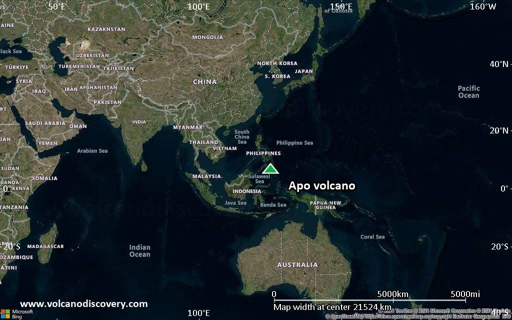
Satellite/aerial-type map of Apo volcano (world scale)
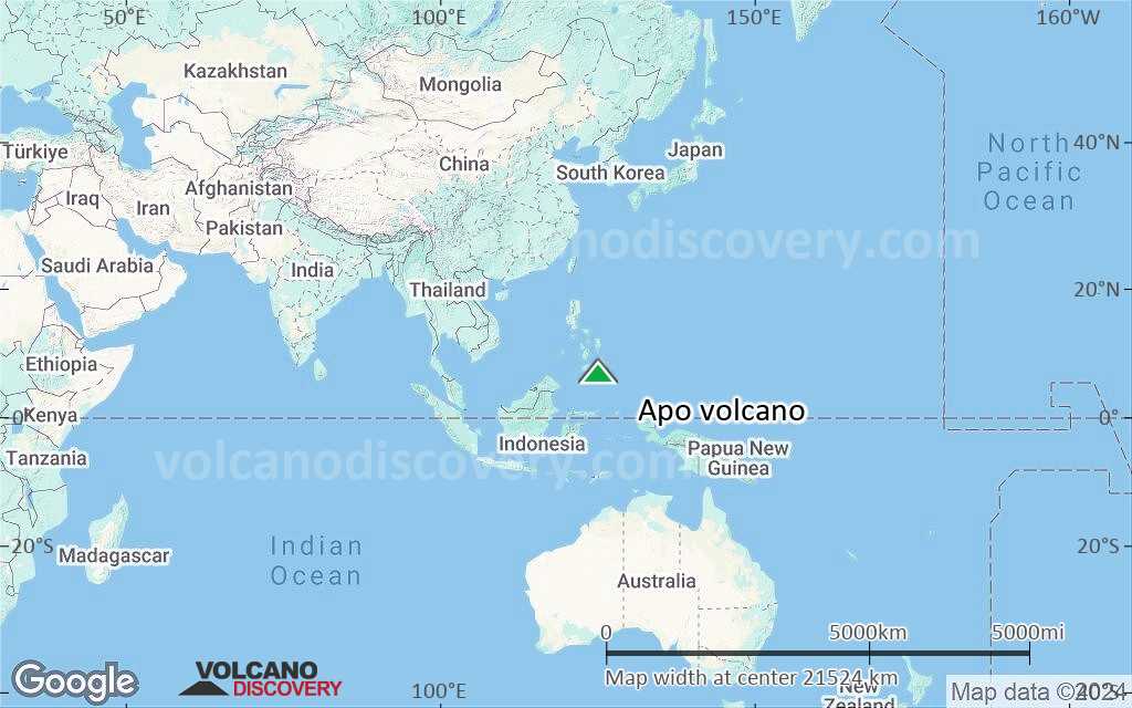
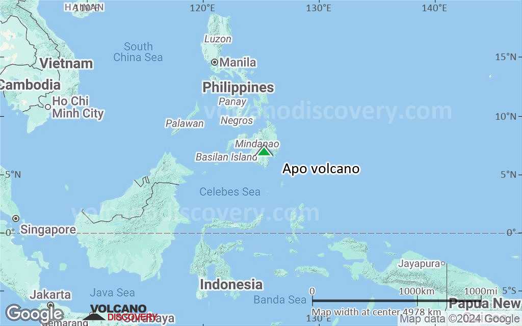
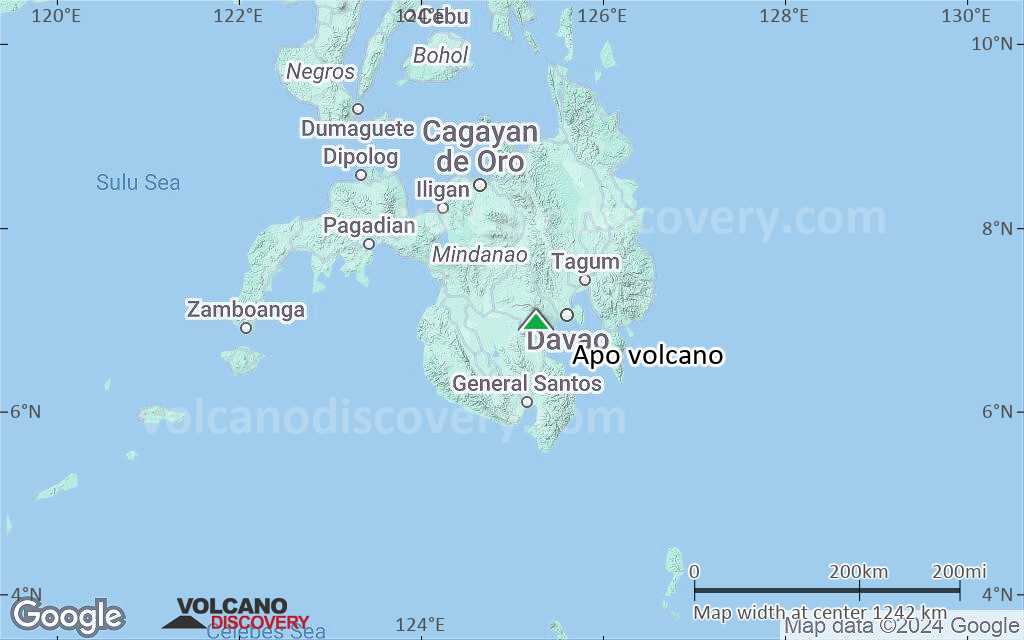
Terrain-type map of Apo volcano (world scale)
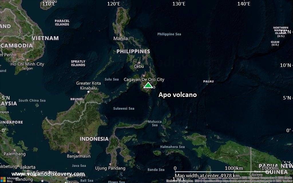
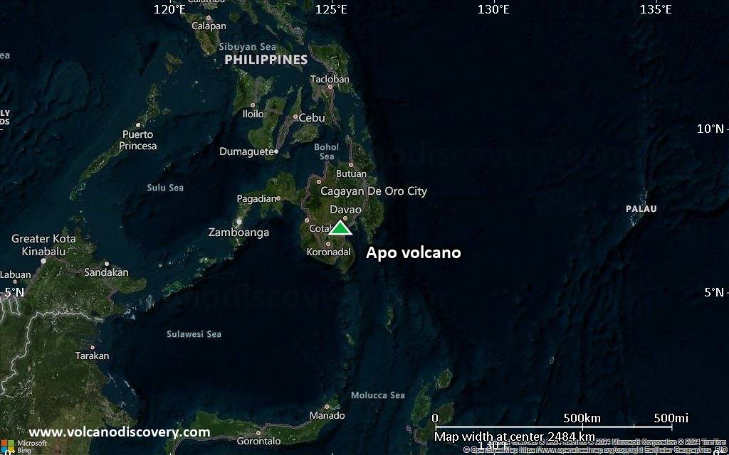
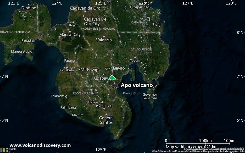
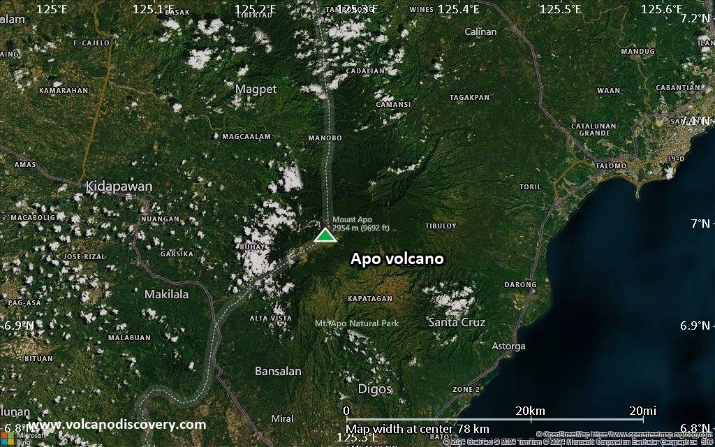
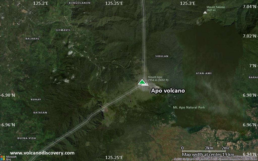
Satellite/aerial-type map of Apo volcano (region scale large)
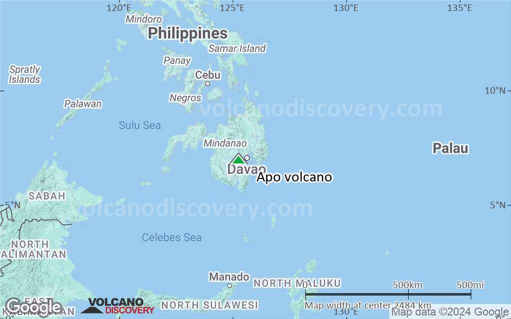
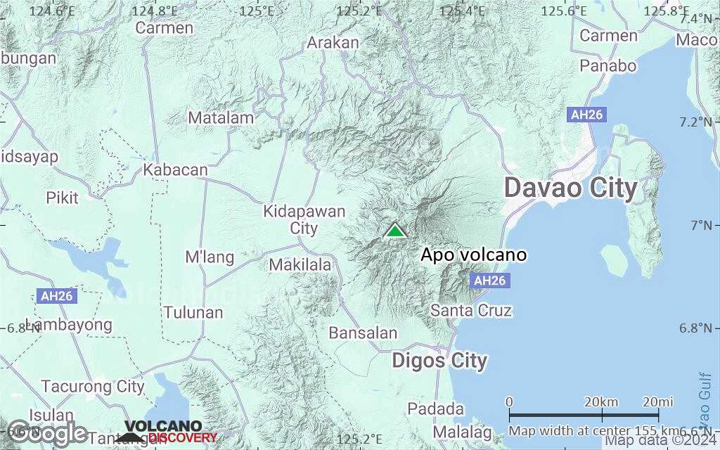
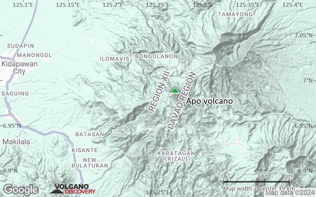
Terrain-type map of Apo volcano (region scale large)
Satellite/aerial-type map of Apo volcano (region scale medium)
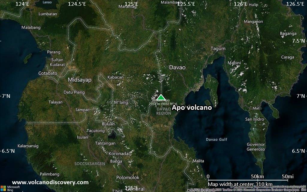
Terrain-type map of Apo volcano (region scale medium)

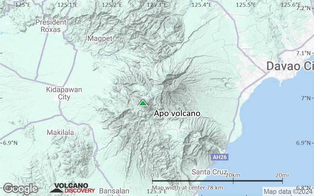
Satellite/aerial-type map of Apo volcano (region scale small)
Terrain-type map of Apo volcano (region scale small)
Satellite/aerial-type map of Apo volcano (local scale large)

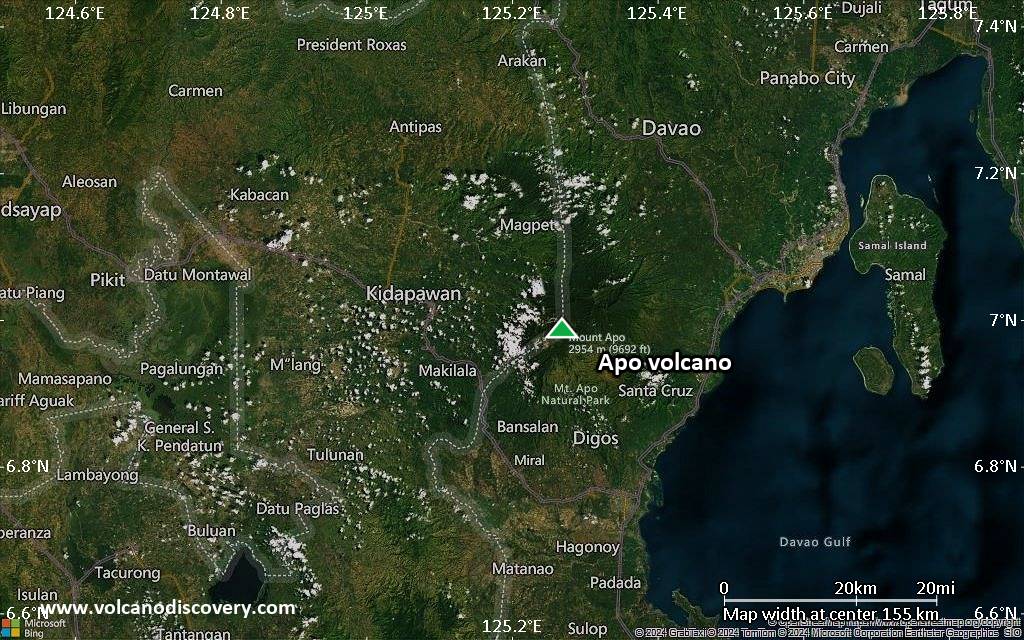
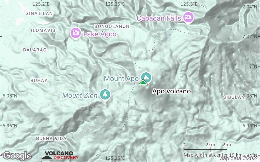
Terrain-type map of Apo volcano (local scale large)
Satellite/aerial-type map of Apo volcano (local scale medium)

Terrain-type map of Apo volcano (local scale medium)
Satellite/aerial-type map of Apo volcano (local scale small)
Terrain-type map of Apo volcano (local scale small)
Satellite/aerial-type map of Apo volcano (scale of 10s of km)
Terrain-type map of Apo volcano (scale of 10s of km)
Satellite/aerial-type map of Apo volcano (scale of 20-40 km)
Terrain-type map of Apo volcano (scale of 20-40 km)
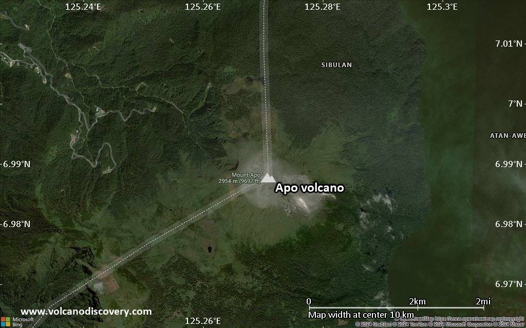
Satellite/aerial-type map of Apo volcano (scale of approx. 10-20 km)
Terrain-type map of Apo volcano (scale of approx. 10-20 km)
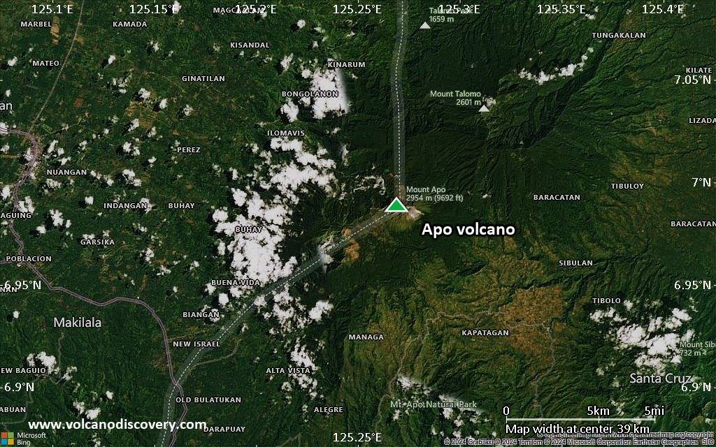
Satellite/aerial-type map of Apo volcano (scale of 5-10 km)

Satellite/aerial-type map of Apo volcano (scale of few kilometers)


