| RSS | EN | DE | EL | ES | FR | IT | RU

Balagan-Tas Volcano

Updated: Jul 4, 2025 16:37 GMT -
cinder cone
Siberia, Russia, 66.43°N / 143.73°E
Summit height: 993 m / 3,258 ft
Current status: normal or dormant (1 out of 5)

Balagan-Tas volcano (also known as Indigirsky) is a cinder cone west of the town Zashiversk, about 1300 km SSW of Bennet Island in Siberia. It is located at the Indikirika River near the northwest boundary of Momo-Selenniak depression.
The volcano erupted basaltic lava flows. A historic eruption is reported to have taken place in 1775, but not included in the Smithsonian's Global Volcanism Database.

[smaller] [larger]
Typical eruption style: effusive
Balagan-Tas volcano eruptions: 1775 AD (?)

Latest nearby earthquakes

Date and TimeMag / DepthDistance / Location

Eruptions of Balagan-Tas volcano


1775 eruption
A historic eruption is reported to have happened at Balagan-Tas volcano around 1775. ...more info

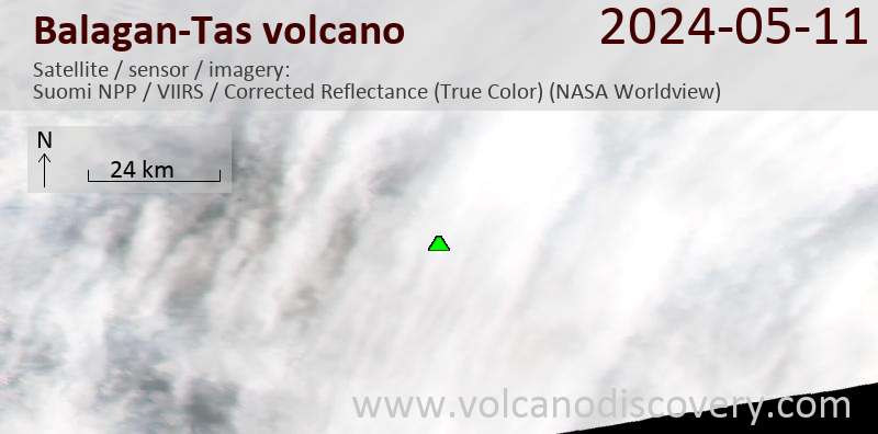
Latest satellite images

BalaganTas satellite image sat1BalaganTas satellite image sat2

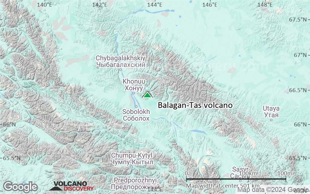
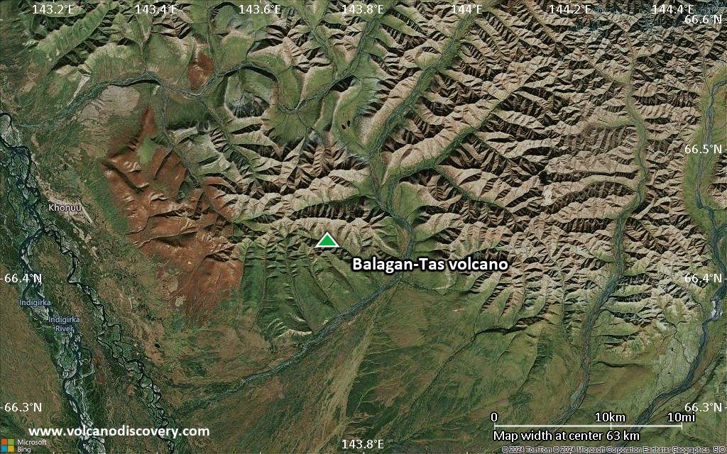
Balagan-Tas Volcano Maps

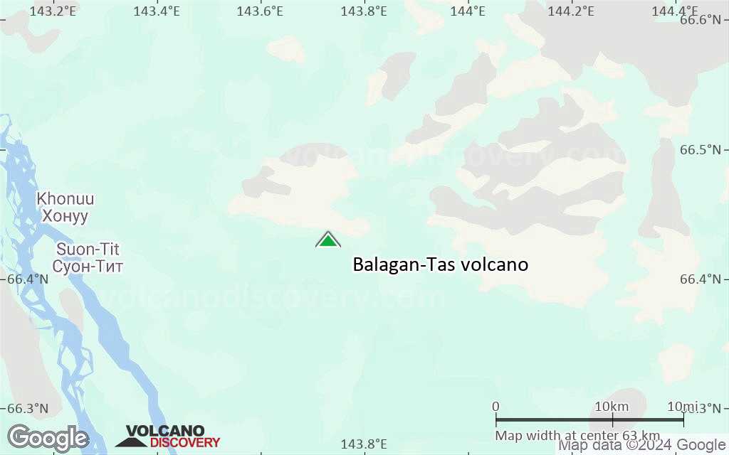
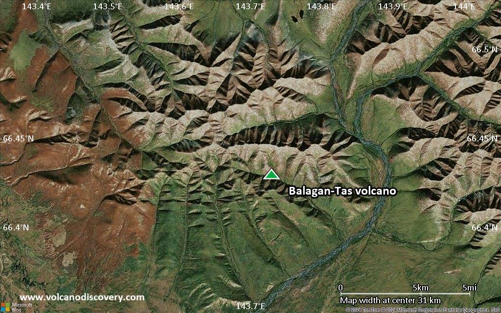
Below is a selection of maps showing the location and surroundings of the volcano at various resolutions based on aerial-imagery / terrain maps. Feel free to use them for non-commercial purposes on your blog or website as long as you credit them with a link back to this page (click to copy it).
Satellite/aerial-type map of Balagan-Tas volcano (world scale)
Terrain-type map of Balagan-Tas volcano (world scale)
Satellite/aerial-type map of Balagan-Tas volcano (region scale large)
Terrain-type map of Balagan-Tas volcano (region scale large)
Satellite/aerial-type map of Balagan-Tas volcano (region scale medium)
Terrain-type map of Balagan-Tas volcano (region scale medium)
Satellite/aerial-type map of Balagan-Tas volcano (region scale small)
Terrain-type map of Balagan-Tas volcano (region scale small)
Satellite/aerial-type map of Balagan-Tas volcano (local scale large)
Terrain-type map of Balagan-Tas volcano (local scale large)
Satellite/aerial-type map of Balagan-Tas volcano (local scale medium)
Terrain-type map of Balagan-Tas volcano (local scale medium)
Satellite/aerial-type map of Balagan-Tas volcano (local scale small)
Terrain-type map of Balagan-Tas volcano (local scale small)
Satellite/aerial-type map of Balagan-Tas volcano (scale of 10s of km)
Terrain-type map of Balagan-Tas volcano (scale of 10s of km)
Satellite/aerial-type map of Balagan-Tas volcano (scale of 20-40 km)
Terrain-type map of Balagan-Tas volcano (scale of 20-40 km)
Satellite/aerial-type map of Balagan-Tas volcano (scale of approx. 10-20 km)
Terrain-type map of Balagan-Tas volcano (scale of approx. 10-20 km)
Satellite/aerial-type map of Balagan-Tas volcano (scale of 5-10 km)
Satellite/aerial-type map of Balagan-Tas volcano (scale of few kilometers)
Volcanoes & Earthquakes - new app for Android
Guaranteed tours
1-17 Aug 2025: Volcanoes and Spices - Sulawesi/Halmahera (Indonesia)
1-14 Oct 2025: Desert, salt and volcanoes - Danakil desert (Ethiopia)
4-12 Oct 2025: From Stromboli to Etna - Sicily and Eolian Islands (Italy)
6-21 Oct 2025: From Krakatau to Bali - Java (Indonesia)
3-19 Nov 2025: Volcanoes and Spices - Sulawesi/Halmahera (Indonesia)
= spaces available   = guaranteed   = few spaces left   = booked out

No news in this list.

On this page:

Try our free app!
Volcanoes & Earthquakes - new app for Android
Android | iOS version

More on VolcanoDiscovery

Why is there advertising on this site?

Support us - Help us upgrade our services!

We truly love working to bring you the latest volcano and earthquake data from around the world. Maintaining our website and our free apps does require, however, considerable time and resources.
We need financing to increase hard- and software capacity as well as support our editor team. We're aiming to achieve uninterrupted service wherever an earthquake or volcano eruption unfolds, and your donations can make it happen! Every donation will be highly appreciated. If you find the information useful and would like to support our team in integrating further features, write great content, and in upgrading our soft- and hardware, please make a donation (PayPal).

Planned features:Thanks to your past donations, these features have been added recently:
Download and Upgrade the Volcanoes & Earthquakes app to get one of the fastest seismic and volcano alerts online:
Android | IOS
Thank you!
Sources: VolcanoDiscovery / VolcanoAdventures and other sources as noted.
Use of material: Most text and images on our websites are owned by us. Re-use is generally not permitted without authorization. Contact us for licensing rights.
Volcanoes & Earthquakes
VolcanoDiscovery Home
Volcanoes | Earthquakes | Photos | Volcano News | | Shop | App
Adventure & Study Travel
Tours to Volcanoes and Volcanic Areas: walking tours, photo tours, study tours
Tours & Dates | FAQ | About us
Get our newsletter!
Company info
Contact | Legal info | Terms & conditions
Follow us
Follow us on facebook Follow us on Instagram Follow us on Bluesky Follow us on Twitter Visit our Youtube channel
EN | DE | EL | ES | FR | IT | RU
VolcanoDiscovery GmbH, Germany, Reg. nr.: HRB 103744, EU Tax Id: DE 297 465 123 owned and created by
Dr. Tom Pfeiffer, volcanologist, volcano photographer, tour organizer member of
IAVCEI
IAVCEI
Vulkanologische Gesellschaft
Volcanological Society
Ecotourism Greece
Ecotourism Greece
RUV insurance
Insured by R+V
VolcanoDiscovery © 2004- All Rights Reserved | Privacy - Cookie Settings