


Binuluan Volcano
Updated: Sep 5, 2025 16:14 GMT -
compound volcano
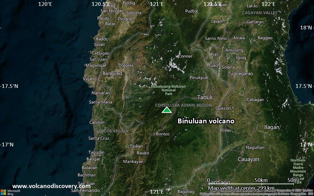
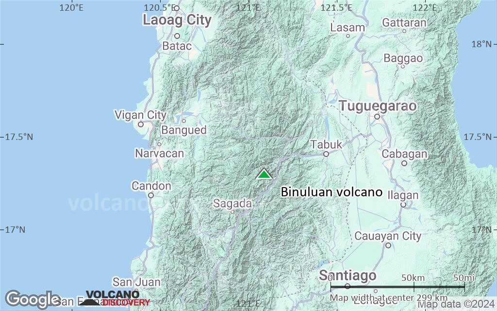
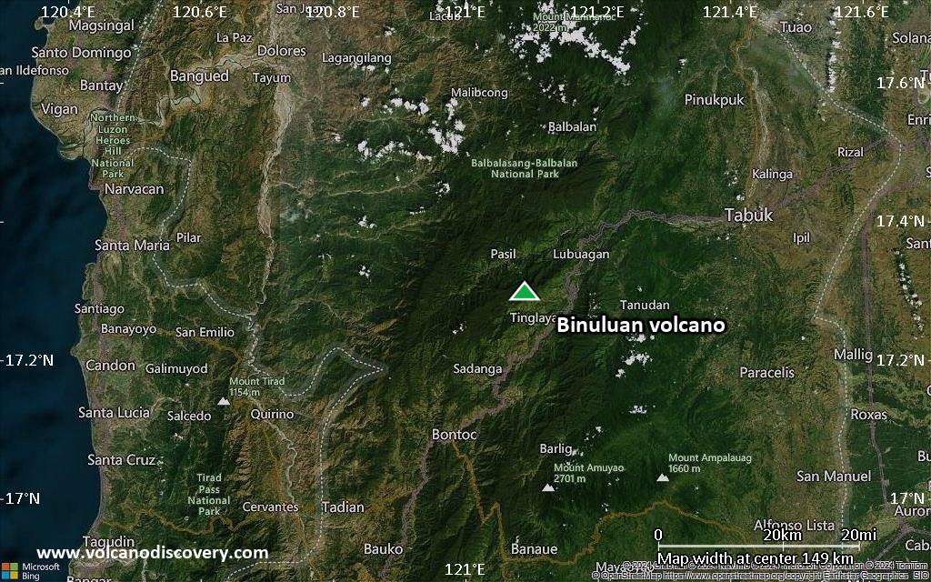
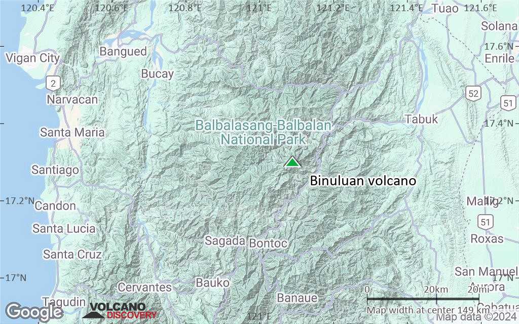
Luzon Island (Philippines), 17.3°N / 121.09°E 
Summit height: 2329 m / 7,641 ft
Current status: normal or dormant (1 out of 5)
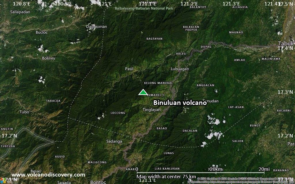
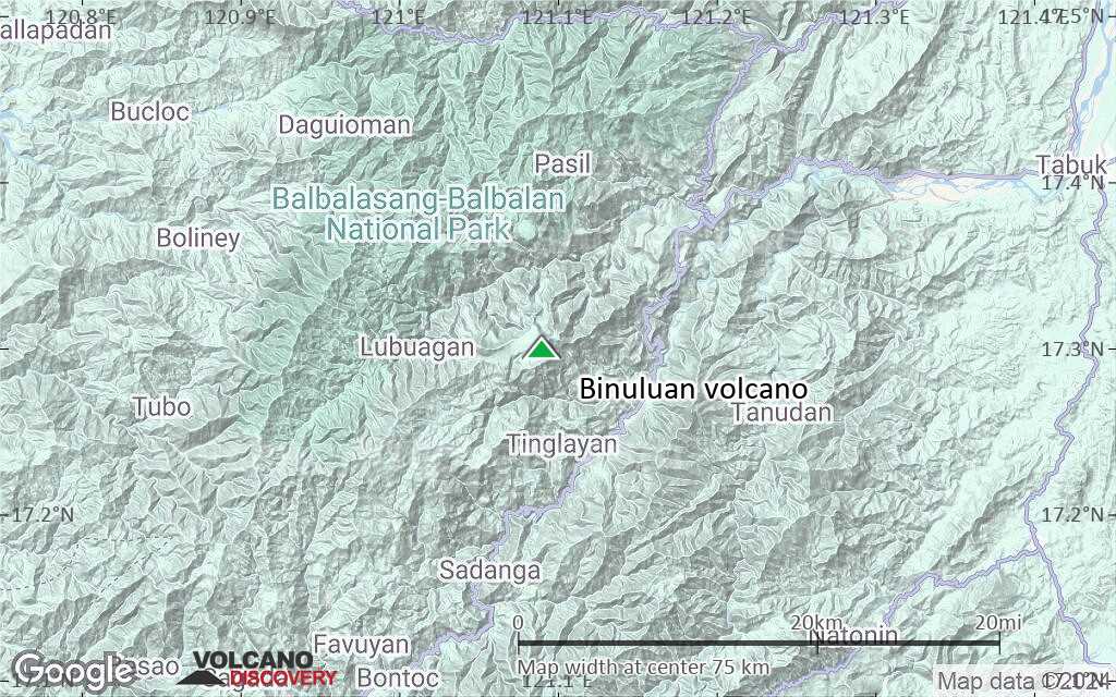
Binuluan volcano belongs to the Ambalatungan volcanic group and is located in the Kalinga Province, Luzon Island, Philippines.
A possible steam eruption of Binuluan volcano in 1952 killed 12 people by a sulphur rich debris flow.
[smaller] [larger]
Binuluan volcano eruptions: 1952
Latest nearby earthquakes
| Date and Time | Mag / Depth | Distance / Location | |||
|---|---|---|---|---|---|
| Aug 24, 12:19 am (Universal Time) | 2.1 127 km | 14 km (8.9 mi) to the N | Info | ||
Latest satellite images
Binuluan Volcano Maps
Below is a selection of maps showing the location and surroundings of the volcano at various resolutions based on aerial-imagery / terrain maps. Feel free to use them for non-commercial purposes on your blog or website as long as you credit them with a link back to this page (click to copy it).
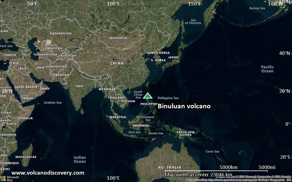
Satellite/aerial-type map of Binuluan volcano (world scale)
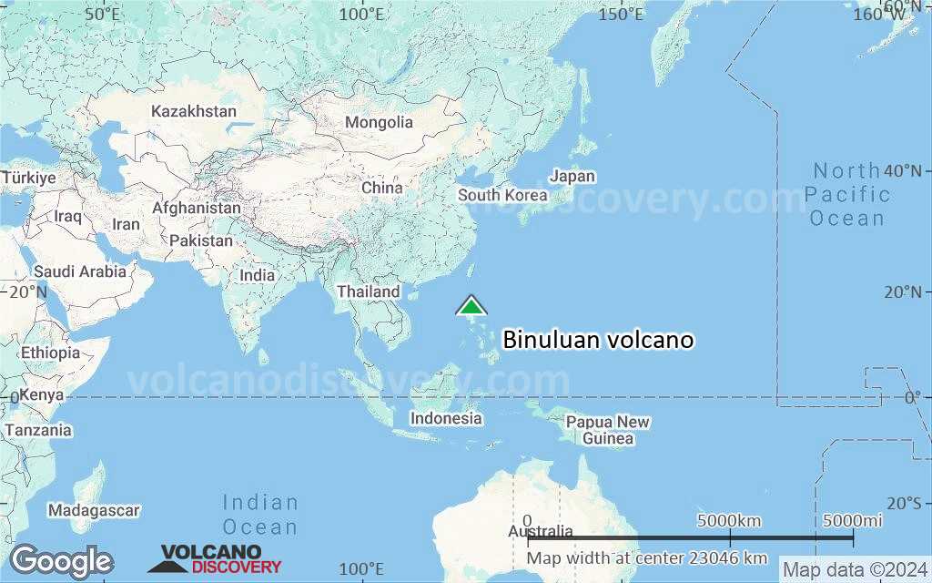
Terrain-type map of Binuluan volcano (world scale)
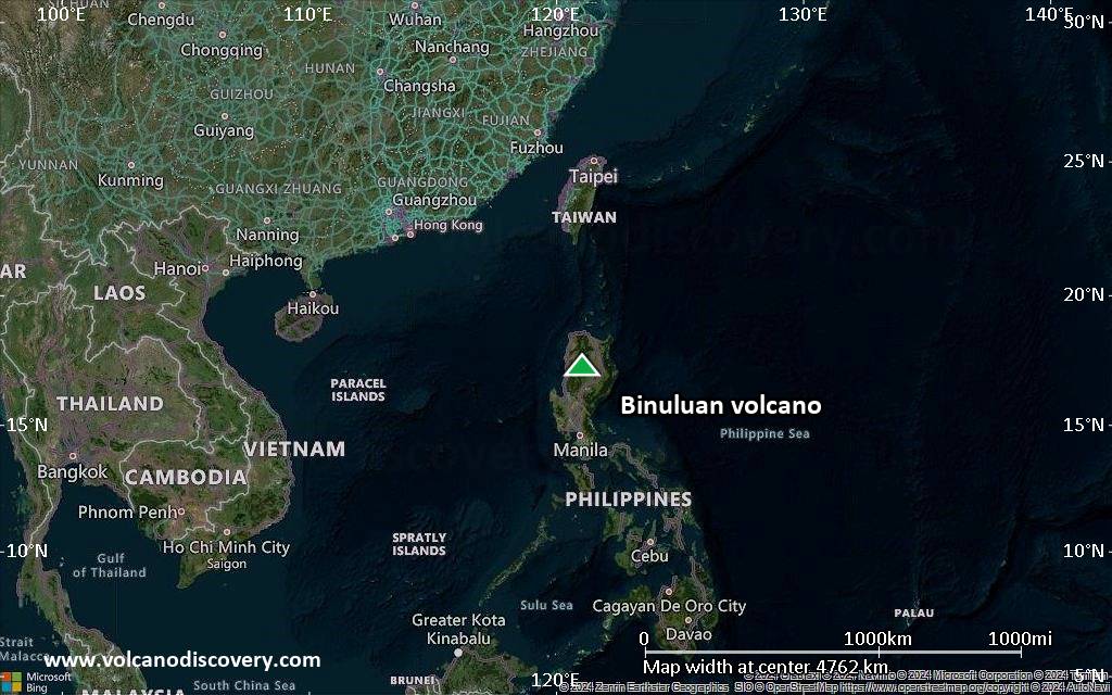
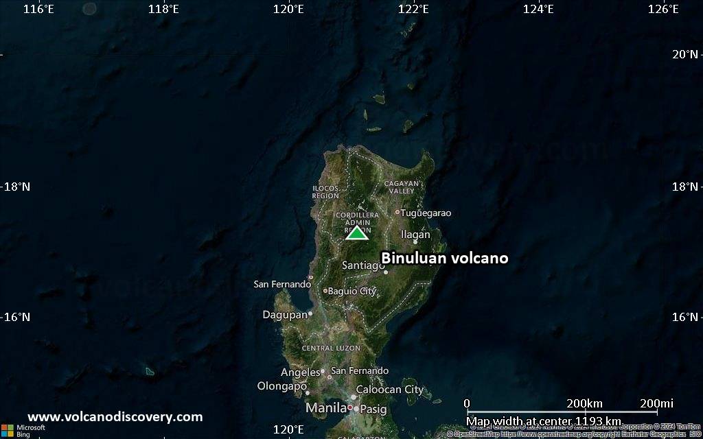
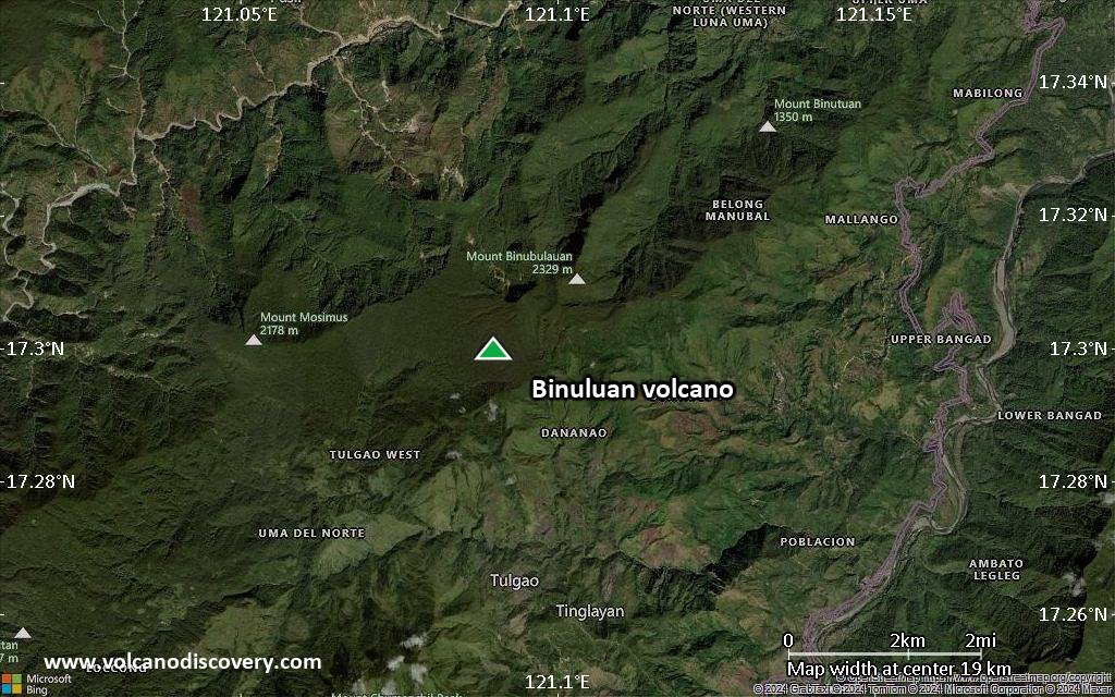
Satellite/aerial-type map of Binuluan volcano (region scale large)
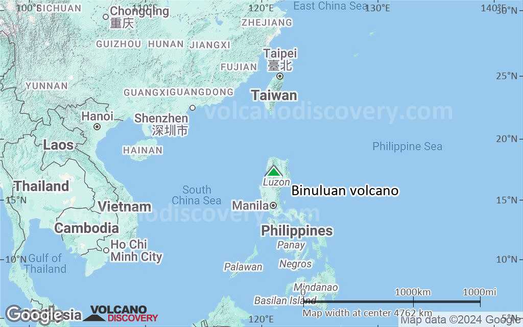
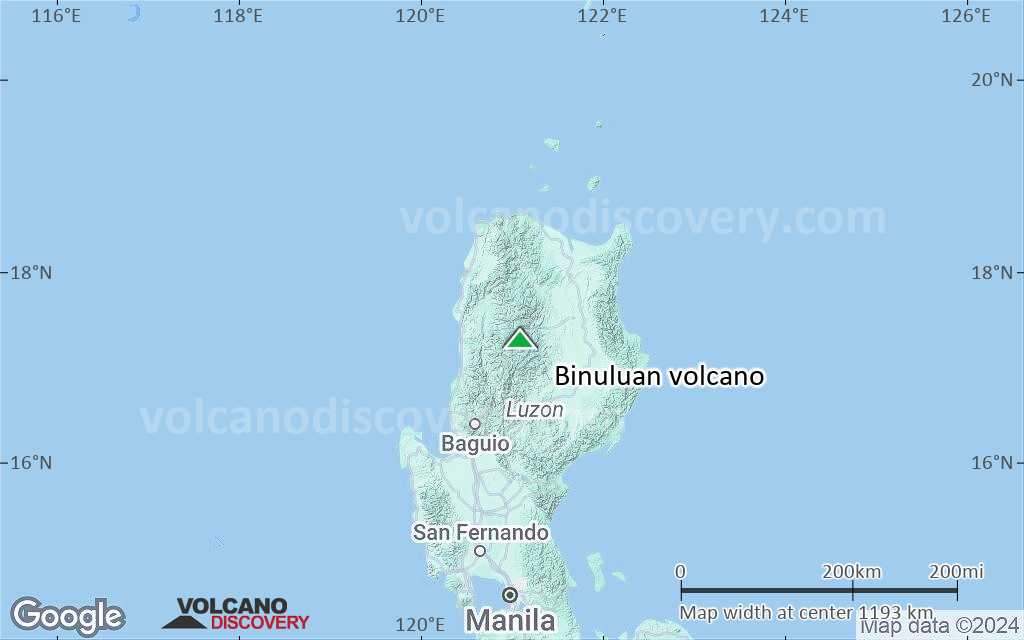
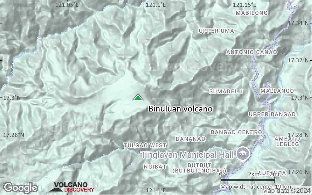
Terrain-type map of Binuluan volcano (region scale large)
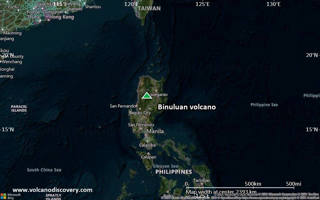
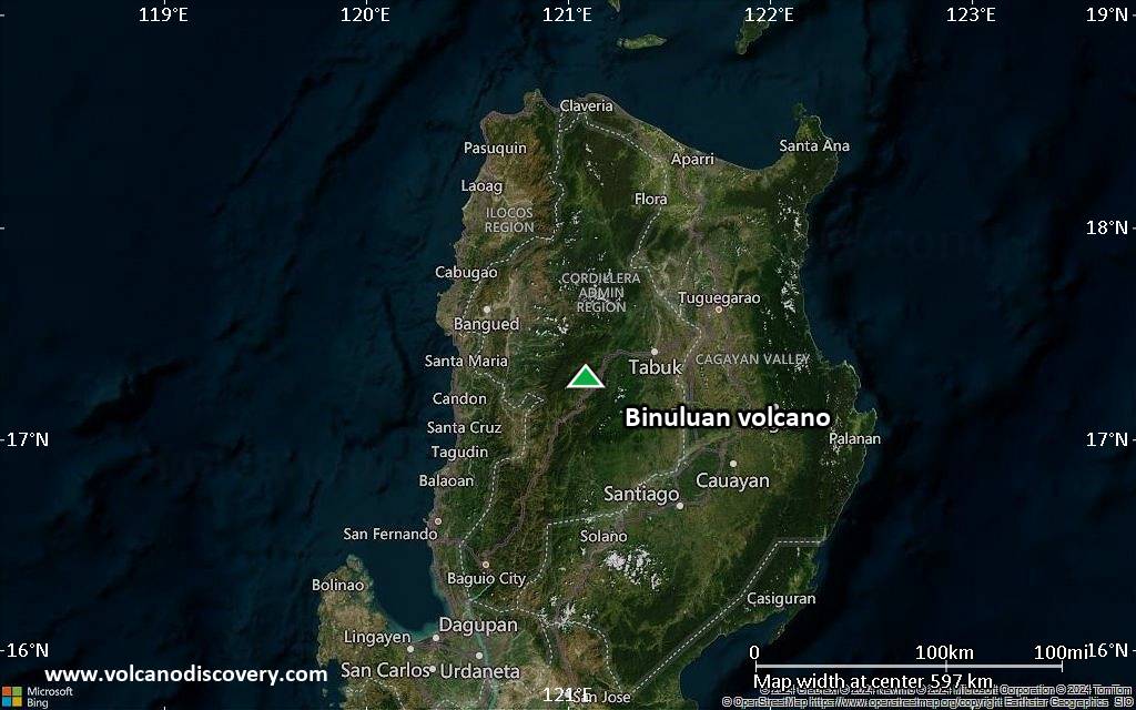
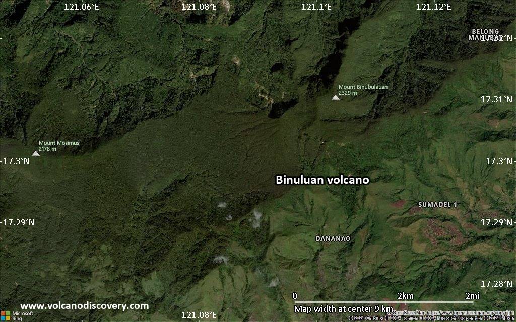
Satellite/aerial-type map of Binuluan volcano (region scale medium)
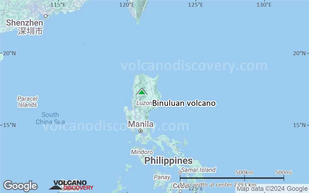
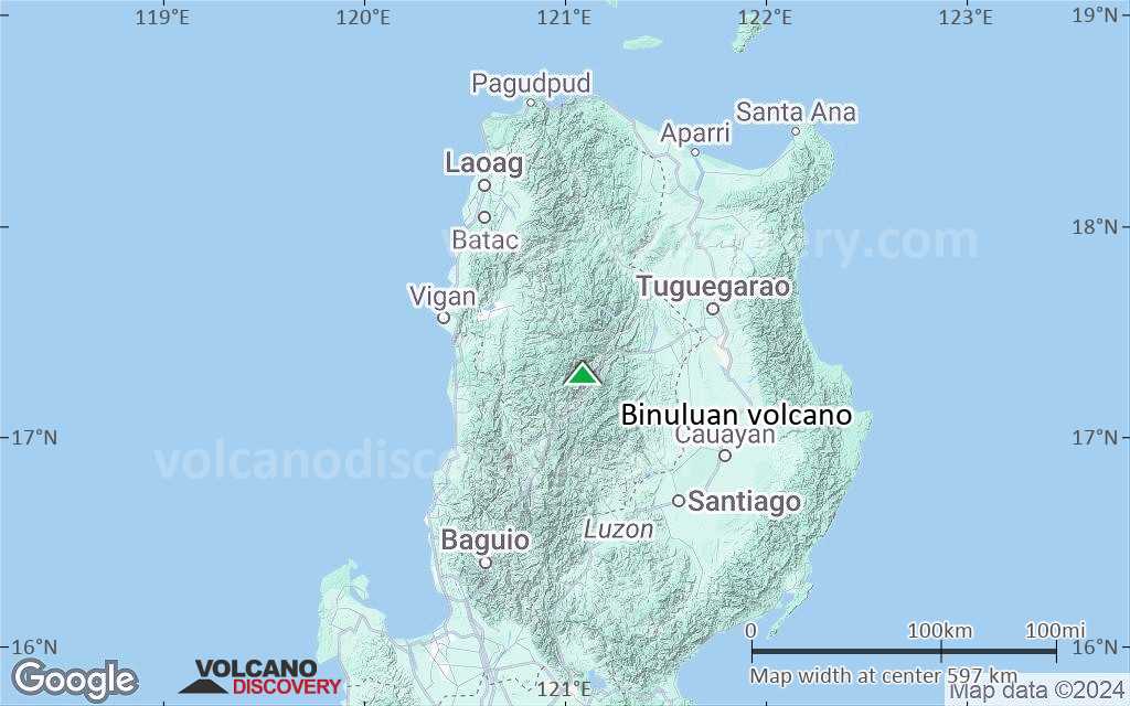
Terrain-type map of Binuluan volcano (region scale medium)
Satellite/aerial-type map of Binuluan volcano (region scale small)
Terrain-type map of Binuluan volcano (region scale small)
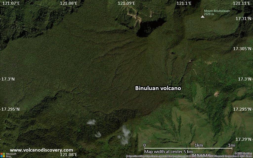
Satellite/aerial-type map of Binuluan volcano (local scale large)
Terrain-type map of Binuluan volcano (local scale large)
Satellite/aerial-type map of Binuluan volcano (local scale medium)
Terrain-type map of Binuluan volcano (local scale medium)
Satellite/aerial-type map of Binuluan volcano (local scale small)
Terrain-type map of Binuluan volcano (local scale small)
Satellite/aerial-type map of Binuluan volcano (scale of 10s of km)
Terrain-type map of Binuluan volcano (scale of 10s of km)
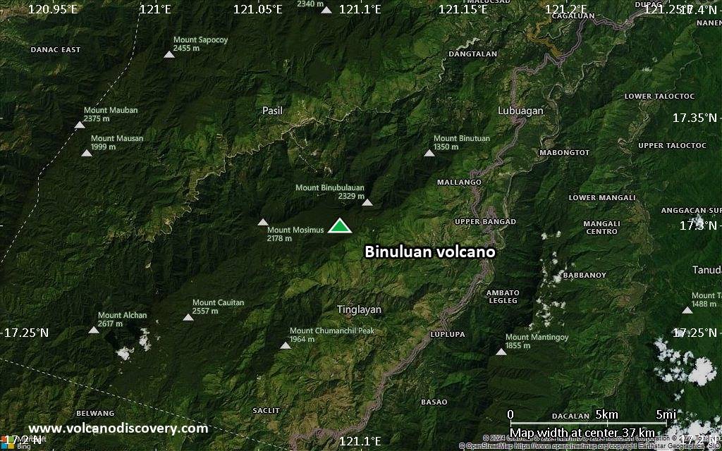
Satellite/aerial-type map of Binuluan volcano (scale of 20-40 km)
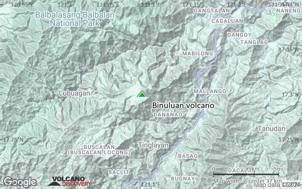
Terrain-type map of Binuluan volcano (scale of 20-40 km)
Satellite/aerial-type map of Binuluan volcano (scale of approx. 10-20 km)
Terrain-type map of Binuluan volcano (scale of approx. 10-20 km)
Satellite/aerial-type map of Binuluan volcano (scale of 5-10 km)
Satellite/aerial-type map of Binuluan volcano (scale of few kilometers)


