Bir Borhut Volcano
Updated: May 28, 2025 19:25 GMT -
volcanic field
Arabian Peninsula (World), 15.55°N / 50.63°E 
Summit height: ca. 600 m / 1,800 ft
Current status: normal or dormant (1 out of 5)
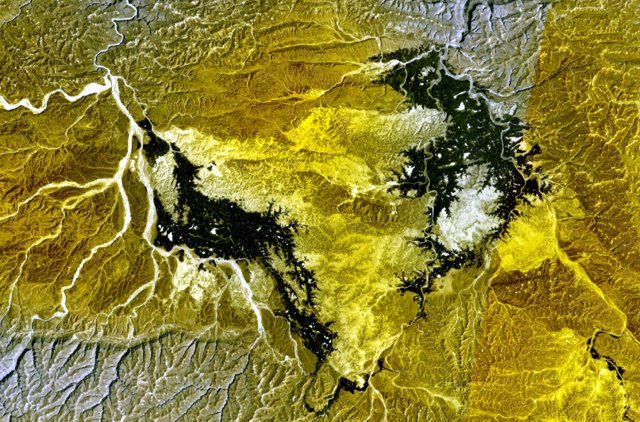
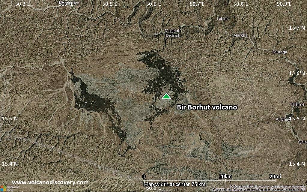
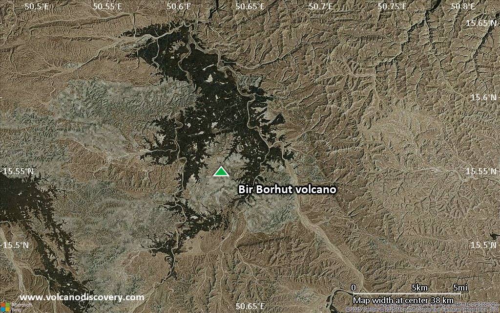
NASA Landsat7 image (worldwind.arc.nasa.gov) showing the darker lava flows of Borhut volcano south and west of the Wadi al Masilah in eastern Yemen
Bir Borhut volcano is an active, but almost unknown volcano in eastern Yemen near the Gulf of Aden. Old documents tell of volcanic activity in the 10th century, and it was reported to have still been "smoking" in 1813.
[smaller] [larger]
Bir Borhut volcano eruptions: 1813 (?), 905 AD (?)
Latest nearby earthquakes
| Date and Time | Mag / Depth | Distance / Location | |||
|---|---|---|---|---|---|
Background
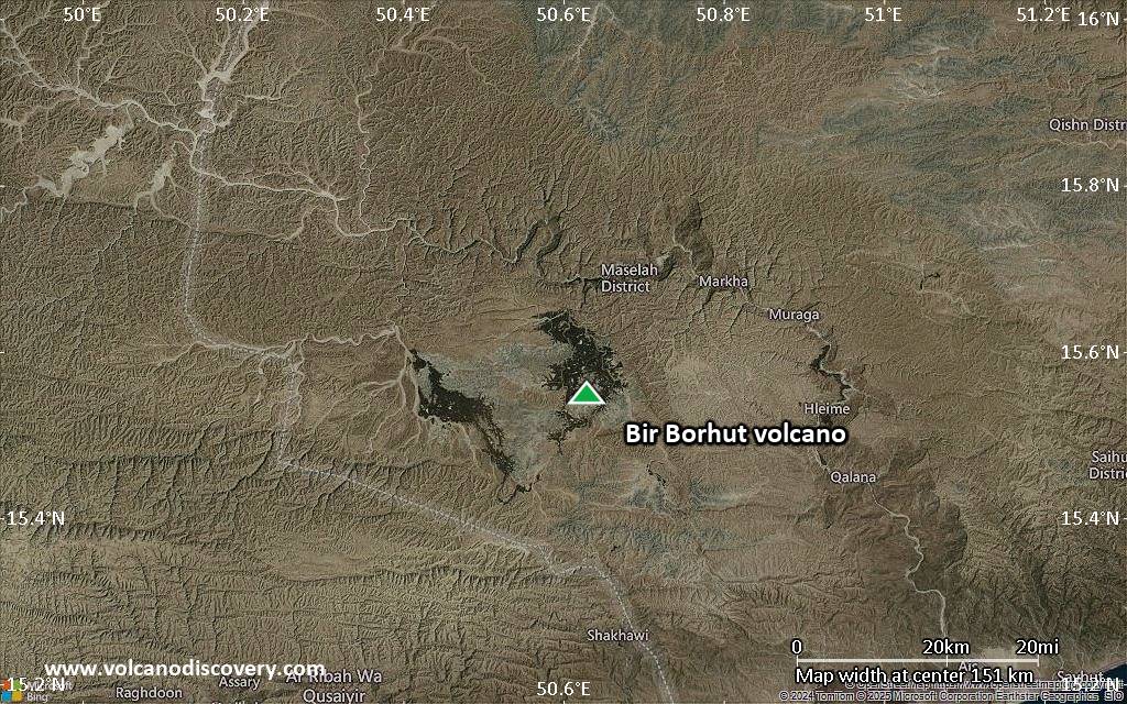
Geologic maps and satellite images of the Arabian Peninsula show young, probably basaltic lava flows in an area south and west of Wadi al Masilah river valley.Significant volcanic eruptions: Bir Borhut volcano
In the past 10,000 years, Bir Borhut has had only one confirmed historic eruption ###WHEN1###|only one confirmed historic eruption ###WHEN1### and one ###WHEN2### inferred from geological evidence|only one confirmed historic eruption ###WHEN1###, but at least ###NUM_INFERRED### eruptions can be inferred from geological evidence|at least ###NUM_CONFIRMED### confirmed eruptions, all documented by historical records or observations|at least ###NUM_CONFIRMED### confirmed volcanic eruptions, out of which ###NUM_HISTORIC### are documented by historical records, while the others can be inferred from geological evidence.
No historic eruptions are known from Bir Borhut volcano, but at least one eruption ###WHEN2### can be inferred from geological evidence|evidence from at least ###NUM_CONFIRMED### eruptions during the past 10,000 years can be found in the geological record.
There is one uncertain or discredited eruption in 950 AD from Bir Borhut volcano.
The table below lists all known eruptions (date in bold face) of Bir Borhut volcano in historic times and during the past 10,000 years. Updates on the most recent volcanic activity of Bir Borhut can be found on the news page of Bir Borhut volcano.
| Date | Note | VEI | Deaths | Damage | |
|---|---|---|---|---|---|
?? | Uncertain Eruption | ? | |||
Remark:
Our list of volcanic eruptions closely follows the database of eruptions of the Smithsonian's Global Volcanism Project (GVP), the internationally most recognized data source for volcanic eruptions, but also includes significant eruptive episodes or related volcano events. "Volcanic eruptions" are usually to be understood as sequences of individual eruptive episodes that can follow each other, or even overlap (if several vents are involved), and can last many years, decades or even longer. For example, the current activity of Stromboli volcano is understood as a single eruption that has been ongoing since 1934.
Sources: NOAA National Centers for Environmental Information (NCEI), Global Significant Volcanic Eruptions Database. doi:10.7289/V5TD9V7K | Global Volcanism Project / Smithsonian Institution
Latest satellite images
Bir Borhut Volcano Maps
Below is a selection of maps showing the location and surroundings of the volcano at various resolutions based on aerial-imagery / terrain maps. Feel free to use them for non-commercial purposes on your blog or website as long as you credit them with a link back to this page (click to copy it).

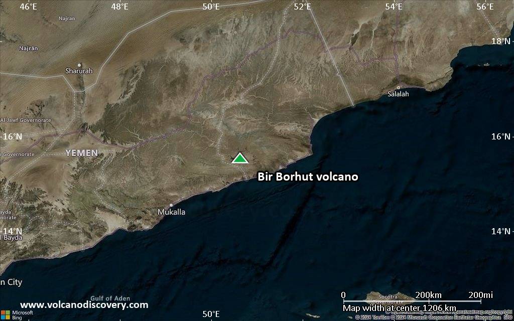
Satellite/aerial-type map of Bir Borhut volcano (world scale)
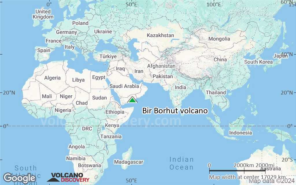
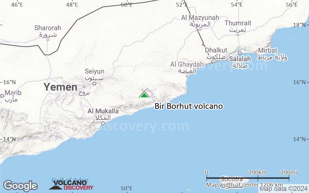
Terrain-type map of Bir Borhut volcano (world scale)
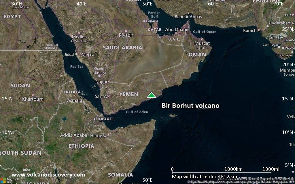
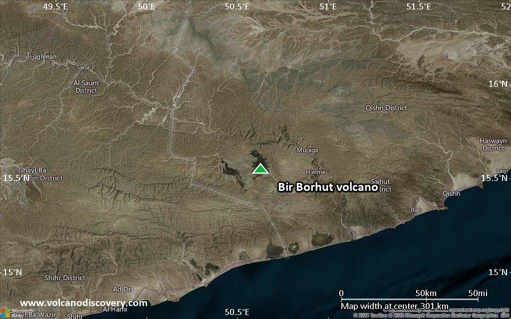
Satellite/aerial-type map of Bir Borhut volcano (region scale large)

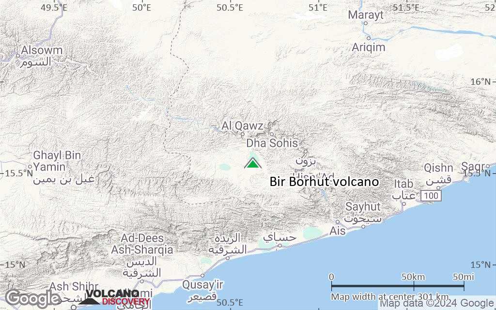
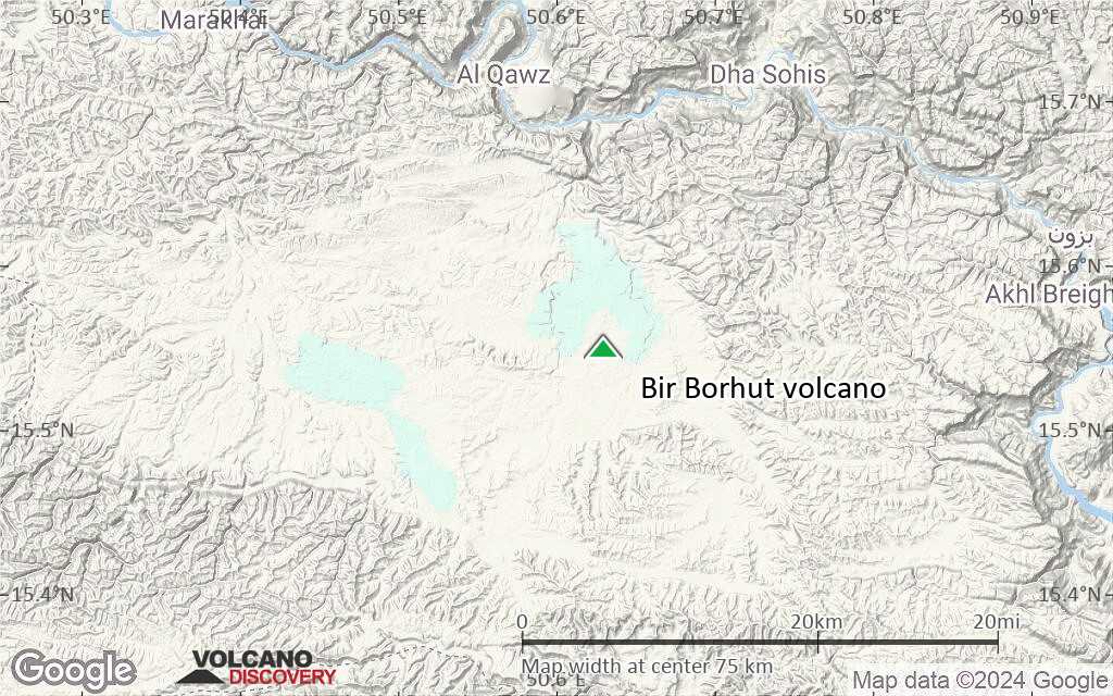
Terrain-type map of Bir Borhut volcano (region scale large)
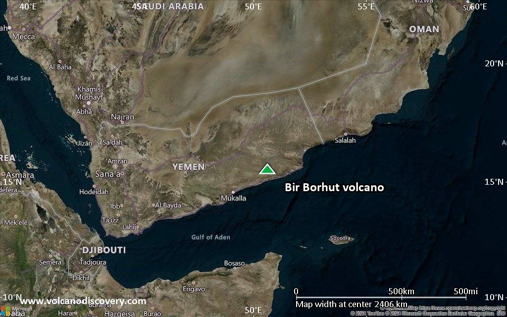
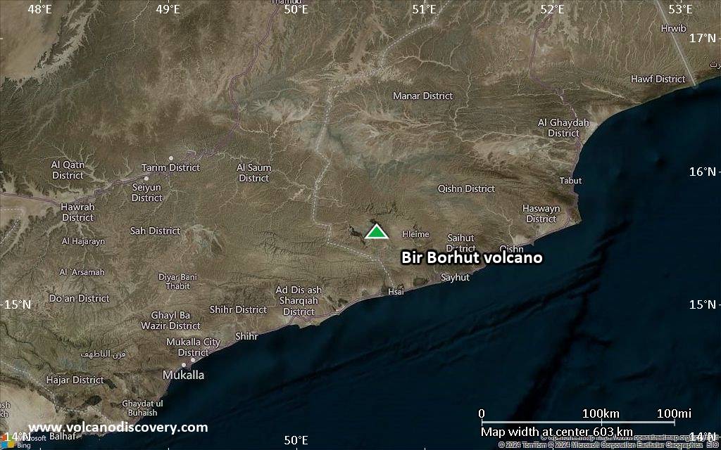
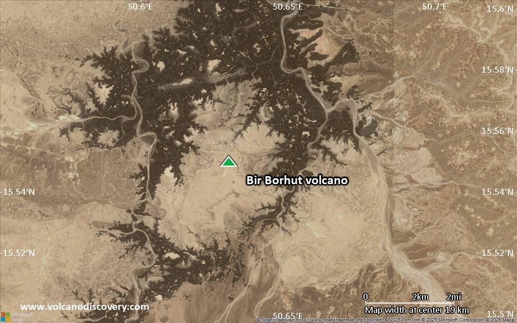
Satellite/aerial-type map of Bir Borhut volcano (region scale medium)
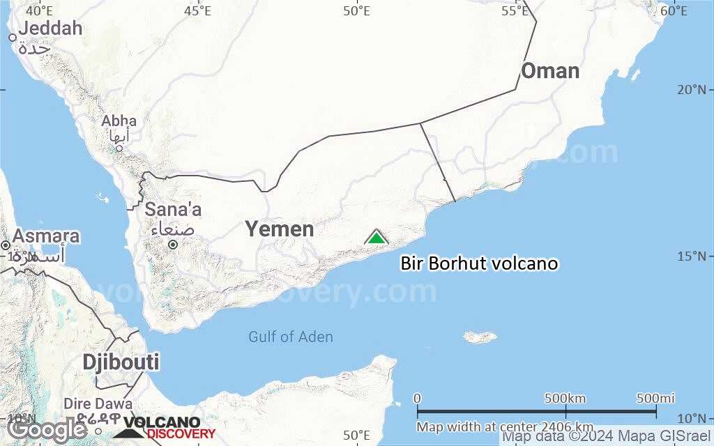
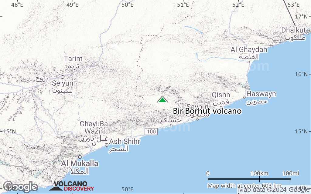
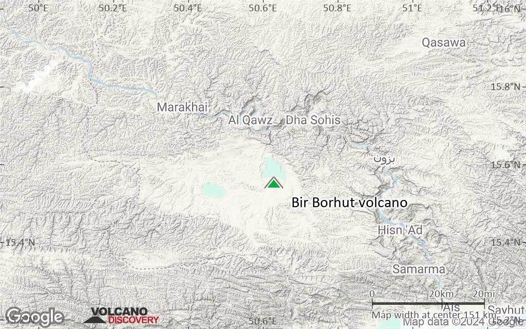
Terrain-type map of Bir Borhut volcano (region scale medium)
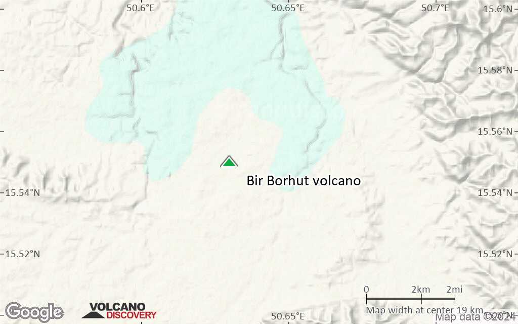
Satellite/aerial-type map of Bir Borhut volcano (region scale small)
Terrain-type map of Bir Borhut volcano (region scale small)
Satellite/aerial-type map of Bir Borhut volcano (local scale large)
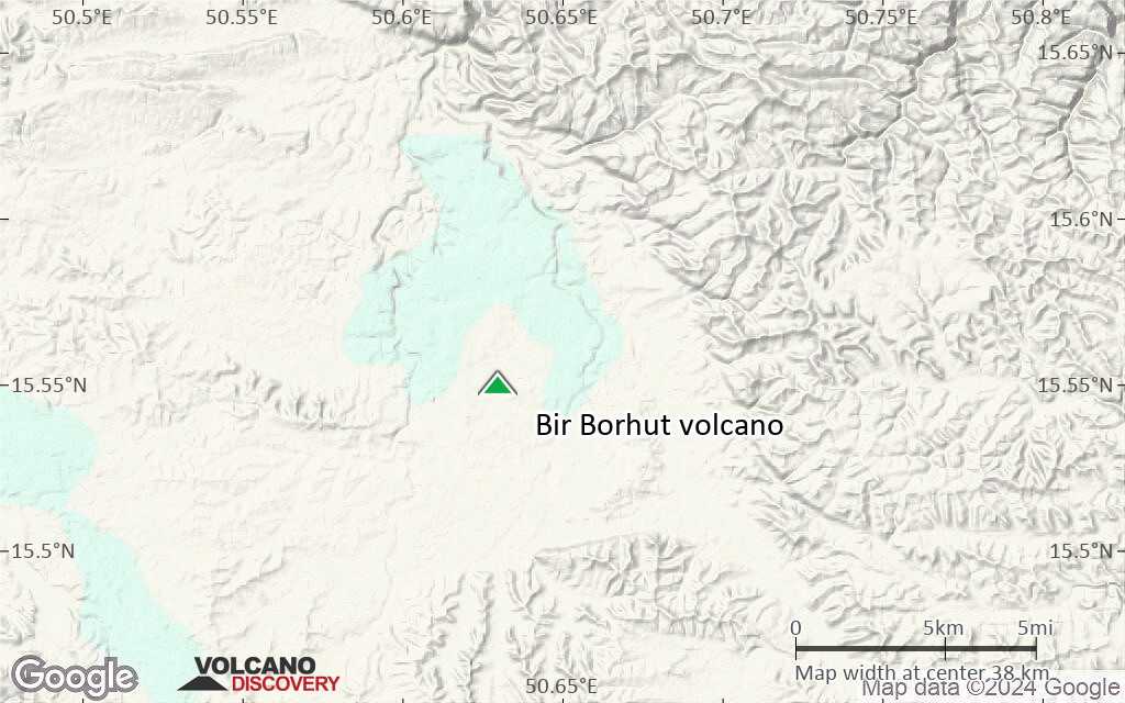
Terrain-type map of Bir Borhut volcano (local scale large)
Satellite/aerial-type map of Bir Borhut volcano (local scale medium)
Terrain-type map of Bir Borhut volcano (local scale medium)
Satellite/aerial-type map of Bir Borhut volcano (local scale small)
Terrain-type map of Bir Borhut volcano (local scale small)
Satellite/aerial-type map of Bir Borhut volcano (scale of 10s of km)
Terrain-type map of Bir Borhut volcano (scale of 10s of km)
Satellite/aerial-type map of Bir Borhut volcano (scale of 20-40 km)
Terrain-type map of Bir Borhut volcano (scale of 20-40 km)
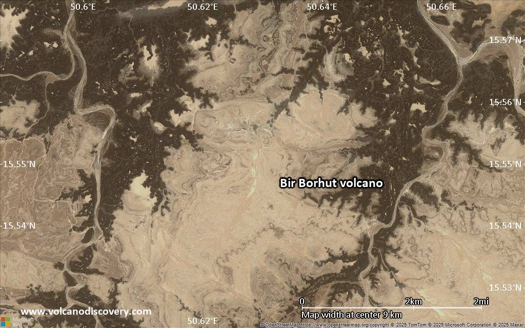
Satellite/aerial-type map of Bir Borhut volcano (scale of approx. 10-20 km)
Terrain-type map of Bir Borhut volcano (scale of approx. 10-20 km)
Satellite/aerial-type map of Bir Borhut volcano (scale of 5-10 km)
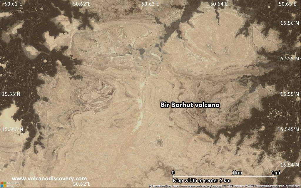
Satellite/aerial-type map of Bir Borhut volcano (scale of few kilometers)