Bogoslof Volcano
Updated: May 16, 2024 19:11 GMT -
Submarine volcano 150 m / 492 ft
United States, Aleutian Islands, 53.93°N / -168.03°W
Current status: normal or dormant (1 out of 5)
United States, Aleutian Islands, 53.93°N / -168.03°W
Current status: normal or dormant (1 out of 5)
Last update: 29 Nov 2023 (Smithsonian / USGS Weekly Volcanic Activity Report)
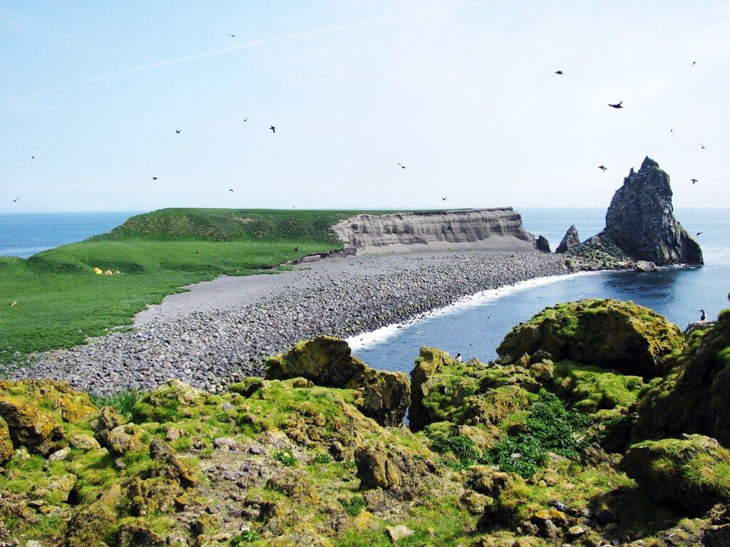
Bogoslof Island in Alaska with the eroded remnants of Castle Rock lava dome from the 1796 eruption (image: Ann Harding/AVO USGS)
[smaller] [larger]
Bogoslof volcano eruptions: 2016-17, 1992, 1951 (?), 1931 (?), 1926-28, 1913, (?), 1909-10, 1908 (?), 1907, 1906, 1883, 1806, 1786
Latest nearby earthquakes
| Time | Mag. / Depth | Distance / Location | |||
Background
Bogoslof is the emergent summit of a submarine volcano that lies 40 km north of the main Aleutian arc. It rises 1500 m above the Bering Sea floor. Repeated construction and destruction of lava domes at different locations during historical time has greatly modified the appearance of this "Jack-in-the-Box" volcano and has introduced a confusing nomenclature applied during frequent visits of exploring expeditions. The present triangular-shaped, 0.75 x 2 km island consists of remnants of lava domes emplaced from 1796 to 1992. Castle Rock (Old Bogoslof) is a steep-sided pinnacle that is a remnant of a spine from the 1796 eruption. Fire Island (New Bogoslof), a small island located about 600 m NW of Bogoslof Island, is a remnant of a lava dome that was formed in 1883.---
Smithsonian / GVP volcano information
Latest satellite images