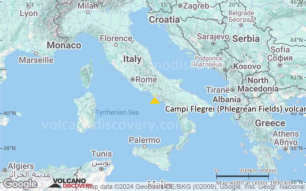
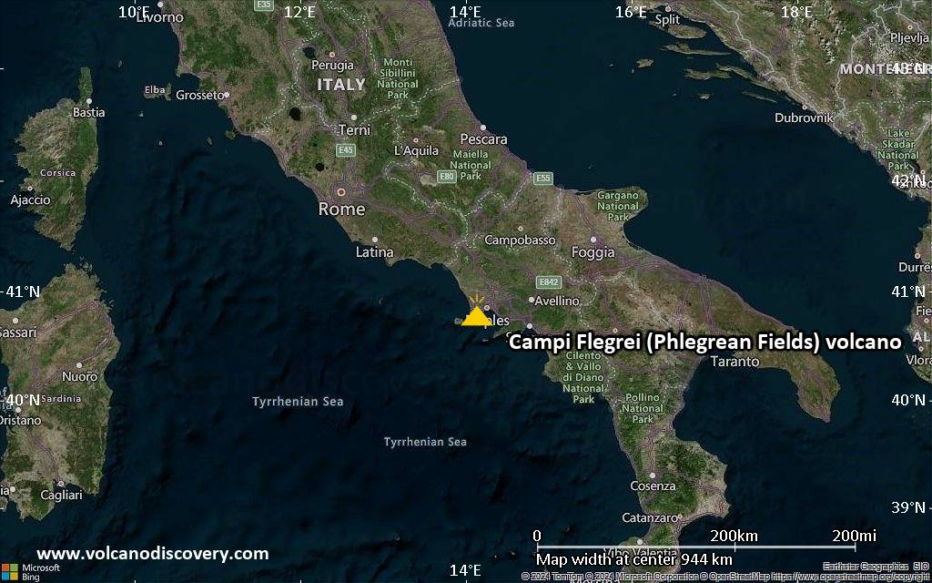
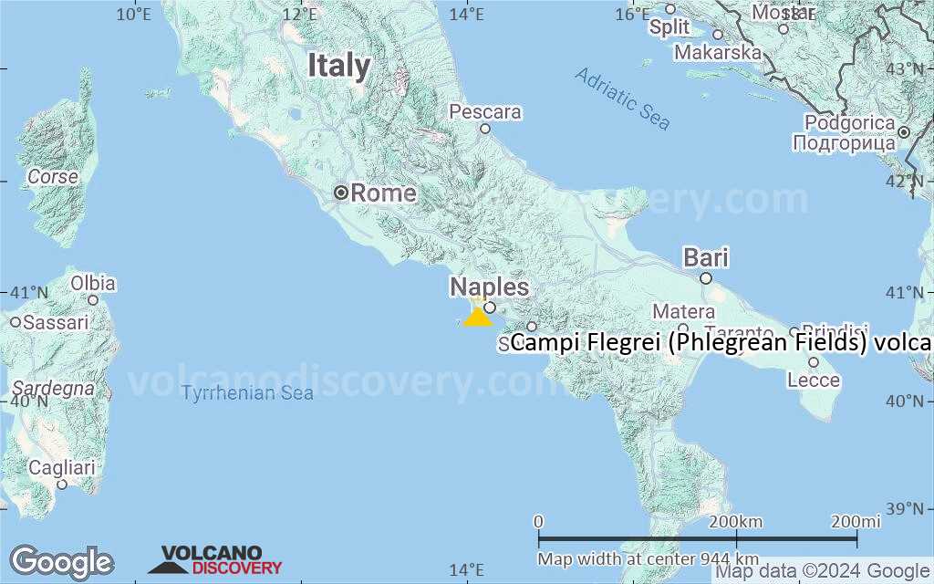
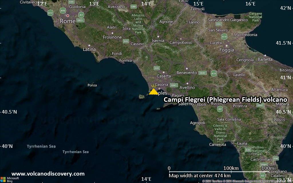
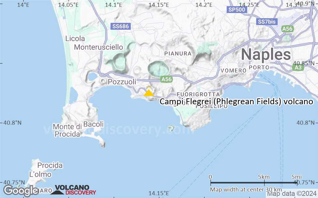
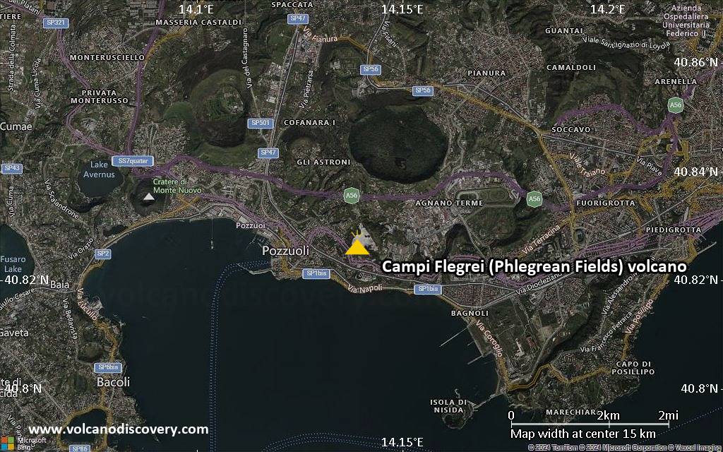
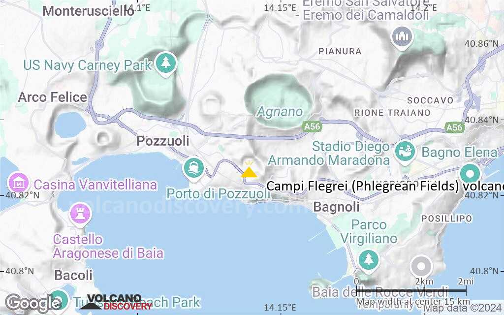
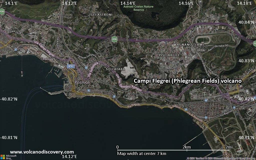
Campi Flegrei (Phlegrean Fields) Volcano
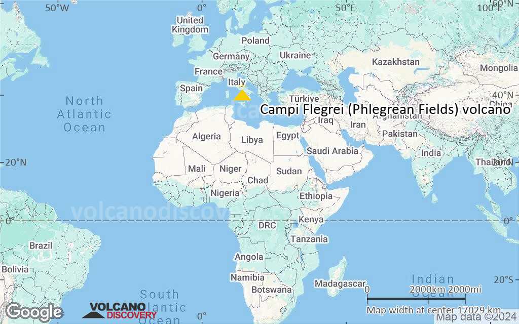
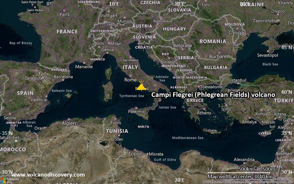
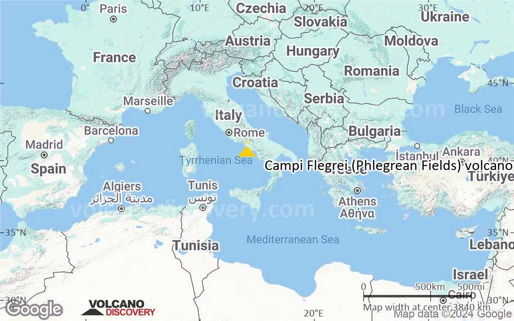
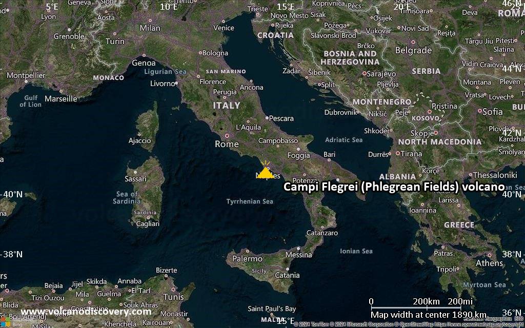
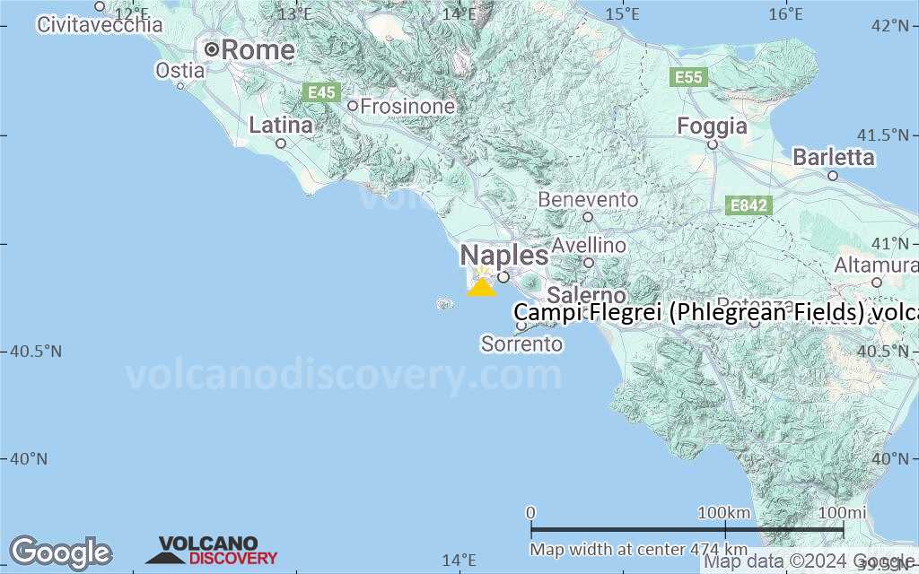
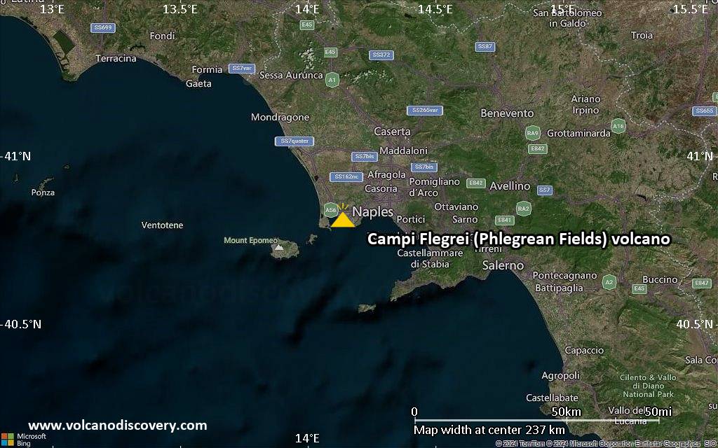
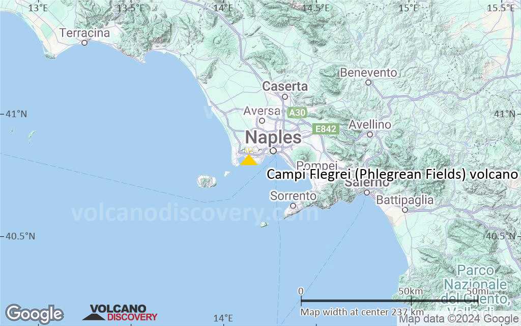
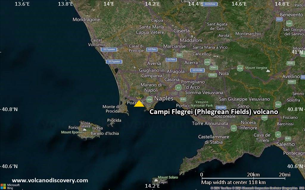
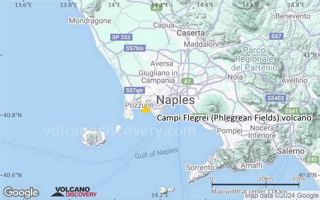
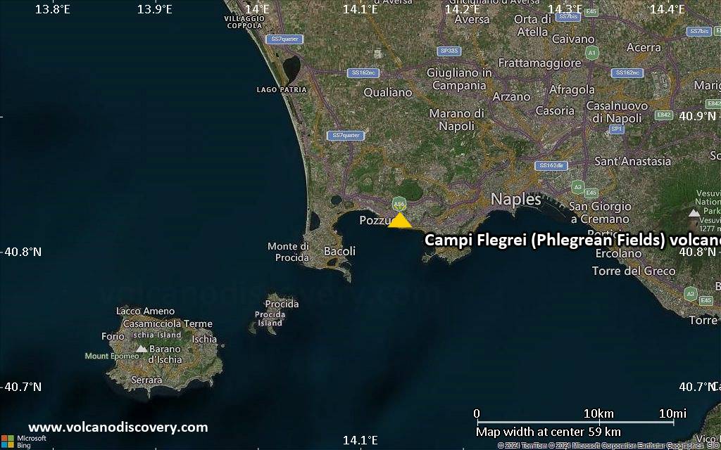
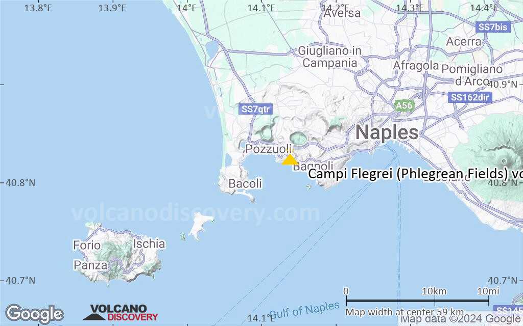
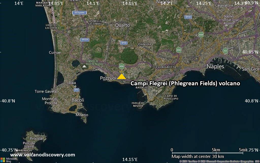
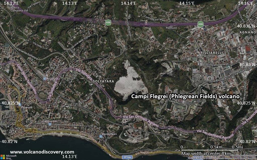
The Campi Flegrei ("burning fields") or Phlegrean Fields is a large, 13-km-wide nested caldera located under the western outskirts of the citiy of Naples and under the Gulf of Pozzuoli.
It contains many volcanic centers (cinder cones, tuff rings, calderas) that have been active during the past 30-40,000 years. The volcanic field has been the site of some extremely violent eruptions in the past, although the few ones that occurred during historic times were small events. Today, there is no sign of imminent reawakening of activity, although there are abundant signs of the presence of a still active magma chamber in the forms of solfataras, warm springs, gas emissions etc. In particular, the Campi Flegrei is infamous for its frequent episodes of major ground deformation in the form of large-scale up- and downlift of the ground (bradisism, see below).
Campi Flegrei (Phlegrean Fields) volcano eruptions: Campanian Ignimbrite eruption ca. 36,000 y.BP, Napoletanian Tuff eruption ca. 15,000 y.BP, 1st. activity epoch 15,000-9,500 y.BP, 2nd activity epoch 8,600-8,200 y.BP, 3rd activity epoch 4,800-3,800 y.BP, 1158 AD (Solfatara eruption), 1538 AD (Monte Nuovo eruption)
Latest nearby earthquakes
| Date and Time | Mag / Depth | Distance / Location | |||
|---|---|---|---|---|---|
| Nov 14, 09:15 pm (GMT +1) | 0.1 0.9 km | 8 km (5 mi) to the SE | Info | ||
| Nov 14, 09:13 pm (GMT +1) | 0.5 1.3 km | 0.7 km (0.4 mi) to the S | Info | ||
| Nov 14, 09:05 pm (GMT +1) | 0.1 1.7 km | 2.8 km (1.7 mi) to the S | Info | ||
| Nov 14, 06:18 pm (GMT +1) | 0.3 0.9 km | 0.4 km (0.2 mi) to the N | Info | ||
| Nov 14, 01:41 pm (Rome) | 0.1 0.8 km | 5.1 km (3.1 mi) to the SE | Info | ||
| Nov 14, 10:05 am (Rome) | 0.1 0 km | 25 km (15 mi) to the E | Info | ||
| Nov 14, 09:14 am (Rome) | 0.3 1.5 km | 0.6 km (0.4 mi) to the S | Info | ||
| Nov 14, 04:31 am (Rome) | 2.3 1.8 km | 23 km (15 mi) to the E | Info | ||
| Sunday, November 9, 2025 GMT (1 quake) | |||||
| Nov 9, 06:11 am (Rome) | 2.5 2.3 km | 0.9 km (0.6 mi) to the NE | Info | ||
Background
Eruptive historyThe earliest known eruptive products are dated 47,000 years before present (BP). The Campi Flegrei caldera formed following two large explosive eruptions, the massive Campanian ignimbrite about 36,000 years BP, and the >40 cu km Neapolitan Yellow Tuff (NYT) about 15,000 years BP. Following eruption of the NYT a large number of eruptions have taken place from widely scattered subaerial and submarine vents. Most activity occurred during three intervals: 15,000-9500, 8600-8200, and 4800-3800 years BP. Two eruptions have occurred in historical time, one in 1158 at Solfatara and the other in 1538 that formed the Monte Nuovo cinder cone.
Bradisism
Episodes of dramatic uplift and subsidence within the caldera have occurred since Roman times. Evidence of this can be seen at many places, e.g. at the submerged ruins of a Roman city offshore the small town of Baia. The most recent episodes of uplift ones took place from 1969-72 and 1982-84, when the inhabitants of the area, Pozzuoli in particular, were witness to and victims of a phenomenon where the earth's surface rose; within a few months it had risen by a total of 3.5 m. This phenomenon is called bradisism (literally a slow movement of the earth's surface, as opposed to fast movement due to an earthquake).
The place which, more than any other, can be considered the evidence over the centuries of Phlegraean bradisism is the macellum (a market of the Roman period, better known as the Temple of Serapide) situated close to the port of Pozzuoli. The remains of this building (which dates back to the end of the first century A.D.) have been very useful in reconstructing the development of bradisism thanks to the holes made by lithodomes (sea molluscs which live in coastal areas on the shore line between high and low tide) on the columns which provide evidence of the variations in ground level as compare to sea level, from the IV century A.D. onwards.
---
Sources: adapted from GVP, Smithsonian Institution and the website of the Vesuvius Observatory
Significant volcanic eruptions: Campi Flegrei (Phlegrean Fields) volcano
| Date | Note | VEI | Deaths | Damage | |
|---|---|---|---|---|---|
| 2017 Sep 12 (eruptive episode | Historical obs./docs. | 0 | 3 | Info | |
| 1970 Mar 2 (eruptive episode | Historical obs./docs. | 0 | 3 | light | Info |
| Monte Nuovo Historical obs./docs. | 3 | ||||
| 1538 AD Sep 29 (eruption | Historical obs./docs. | 3 | 24 | Info | |
| Solfatara Historical obs./docs. | 1 | ||||
| Fossa Lupara (Monte Senga) | 4 | ||||
| Astroni | 4 | ||||
| Averno | 4 | ||||
| Solfatara | 3 | ||||
| Monte Olibano-Accademia | 2 | ||||
| Agnano Monte Spina | 5 | ||||
| Eastern NYT caldera | ? | ||||
| 3 | |||||
| Agnano-Monte Sant'Angelo | ? | ||||
| Cigliano | 4 | ||||
| ? | |||||
| East part of NYT caldera | ? | ||||
| N part of NYT caldera (San Martino) | ? | ||||
| Eastern part of NYT caldera | 3? | ||||
| Fondi di Baia, Sartania | 4 | ||||
| NE part of NYT caldera | ? | ||||
| Soccavo, Minapoli, Pisani & other vents | 3 | ||||
Campi Flegrei (Phlegrean Fields) Volcano FAQ
+When was the last eruption of Campi Flegrei (Phlegrean Fields) volcano?
The last confirmed eruption of Campi Flegrei (Phlegrean Fields) occurred in 1538 AD.
+How often does Campi Flegrei (Phlegrean Fields) volcano erupt?
Since 1198 AD, Campi Flegrei (Phlegrean Fields) volcano has had at least 2 historically documented eruptions. This means that it erupts on average every 414 years.
+When was the largest eruption of Campi Flegrei (Phlegrean Fields) volcano?
The largest eruption known from the younger geological history of Campi Flegrei (Phlegrean Fields) volcano occurred around 2150 BC. It ranks as a "vulcanian" eruption with a magnitude 3 on the VEI (Volcanic Explosivity Index) scale.
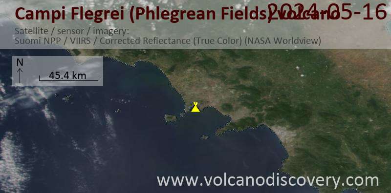
Latest satellite images
Price 4150 €
Price 3250 €
Campi Flegrei (Phlegrean Fields) Volcano Maps