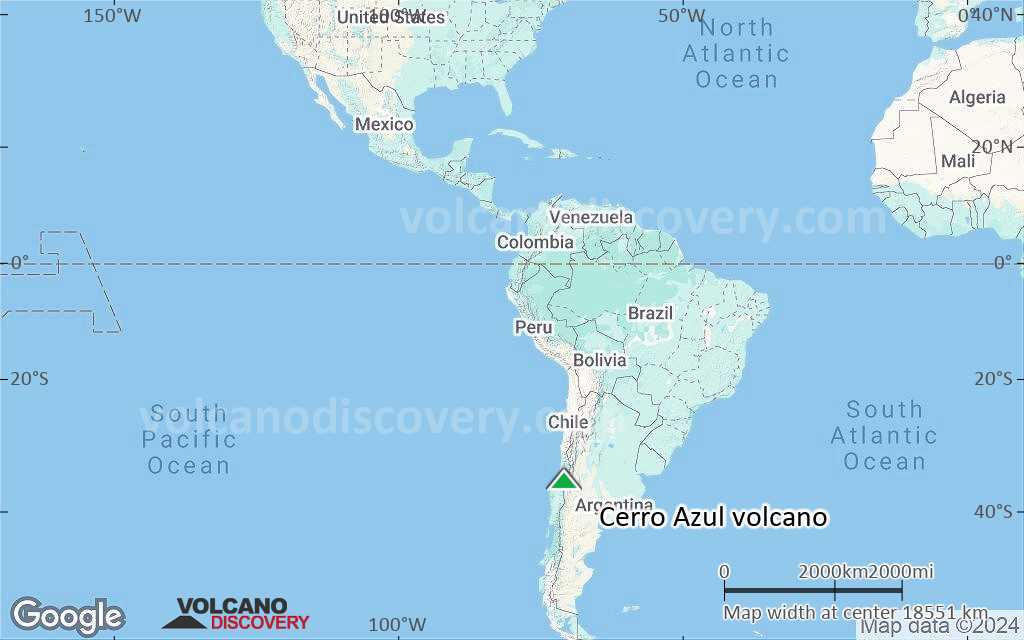
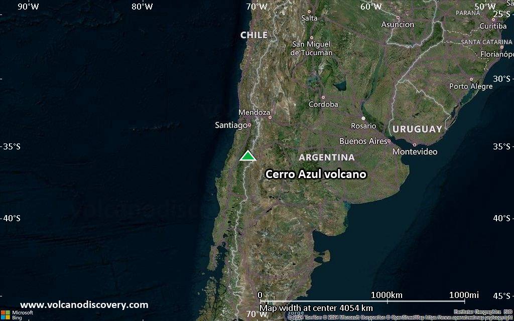
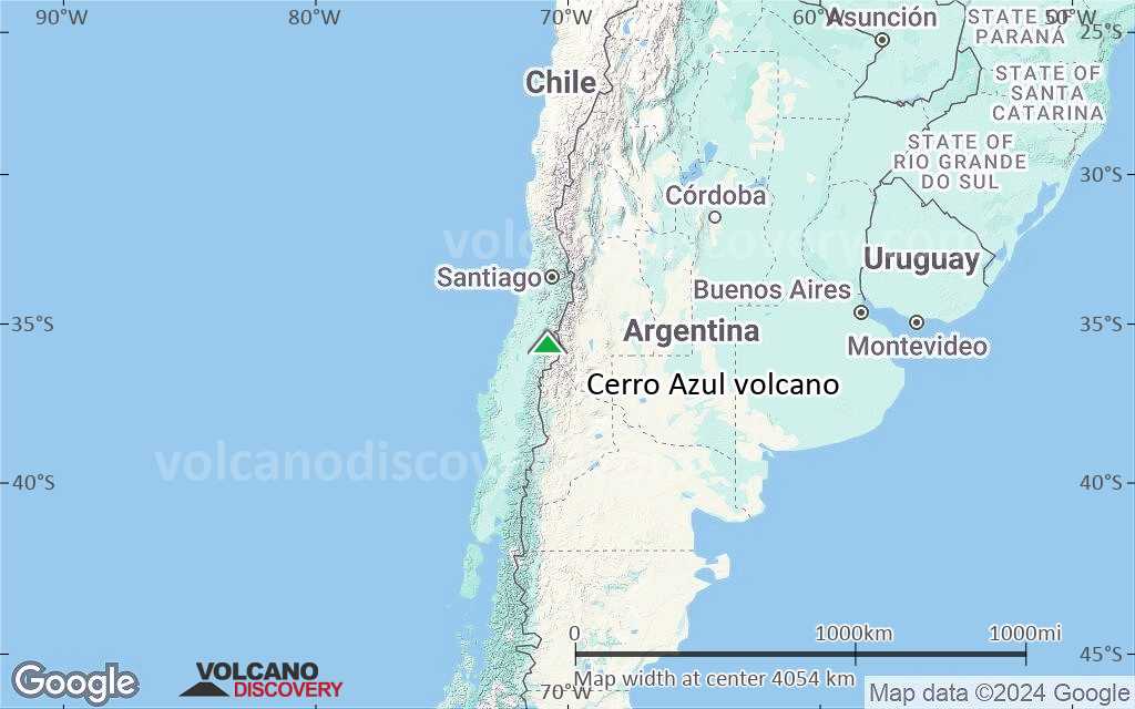
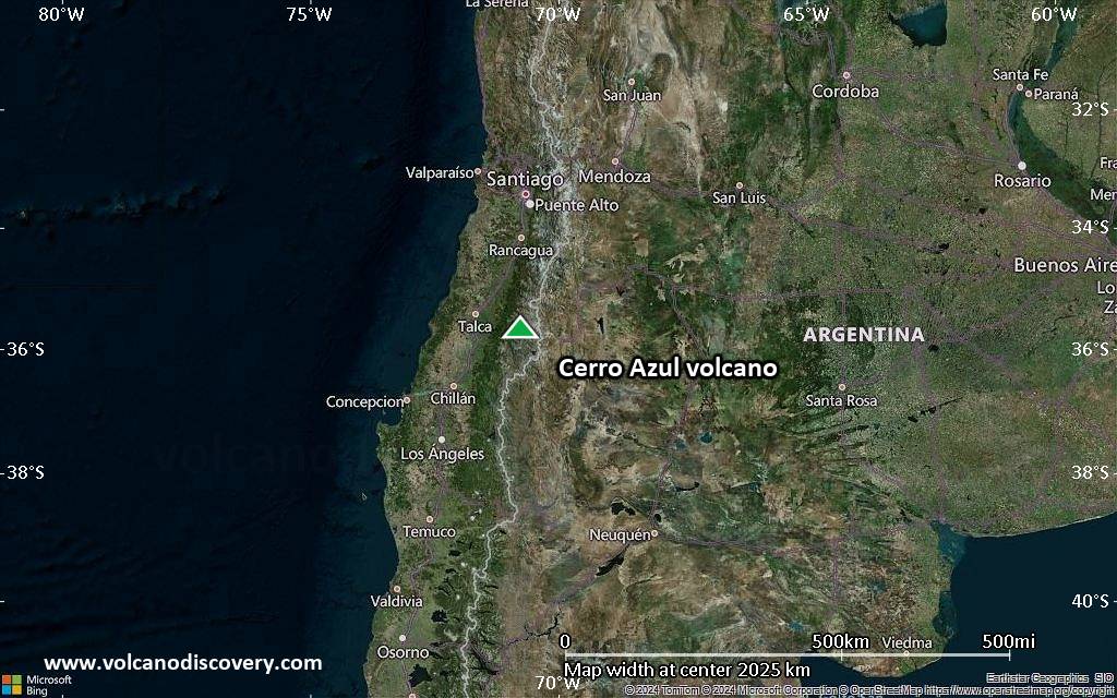
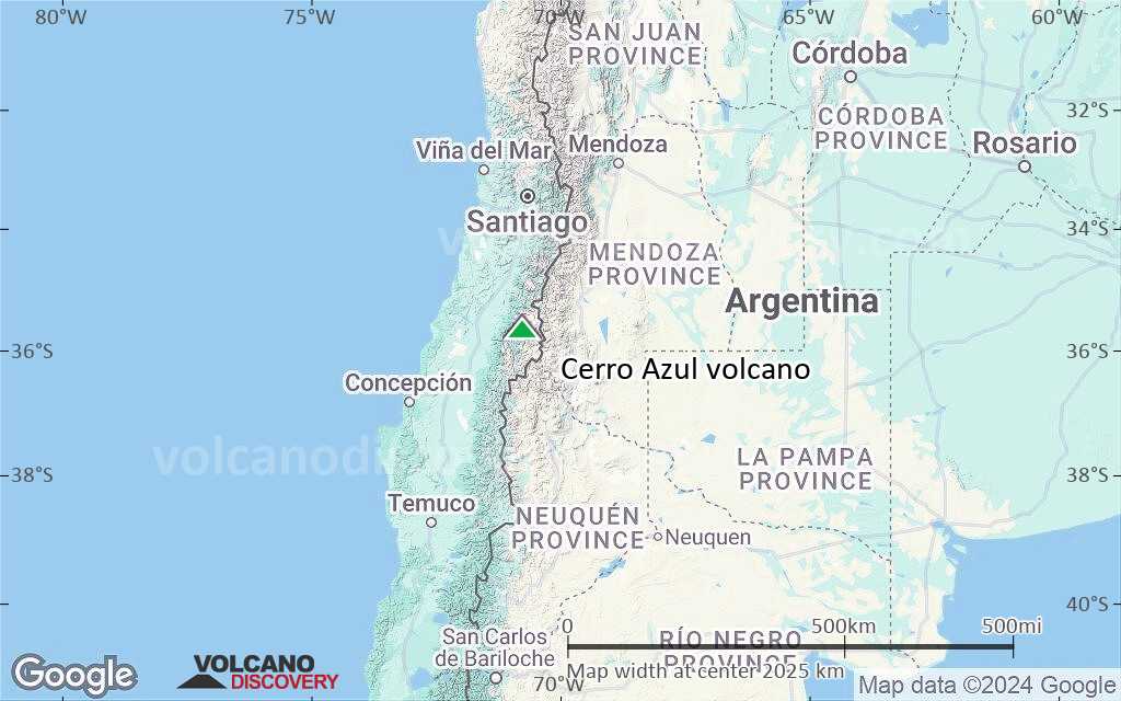
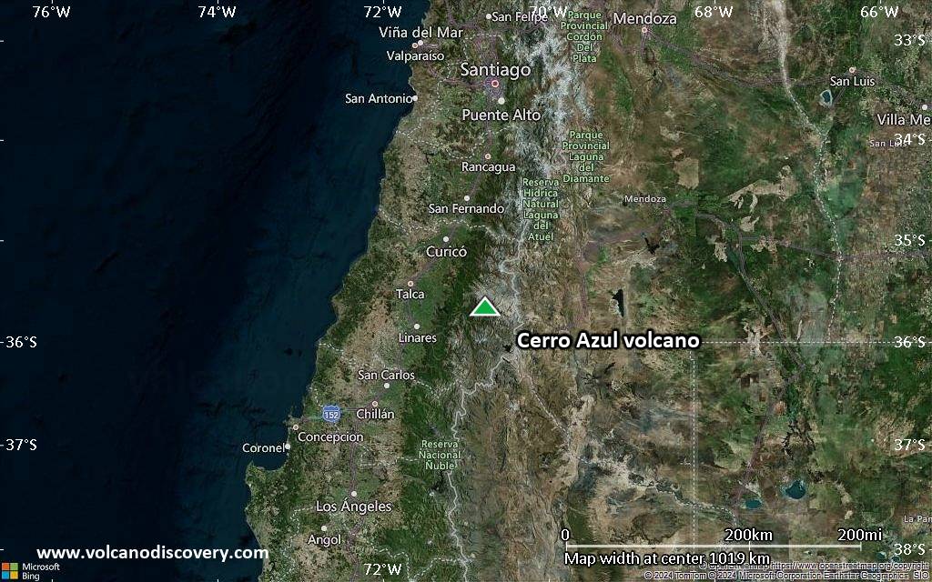
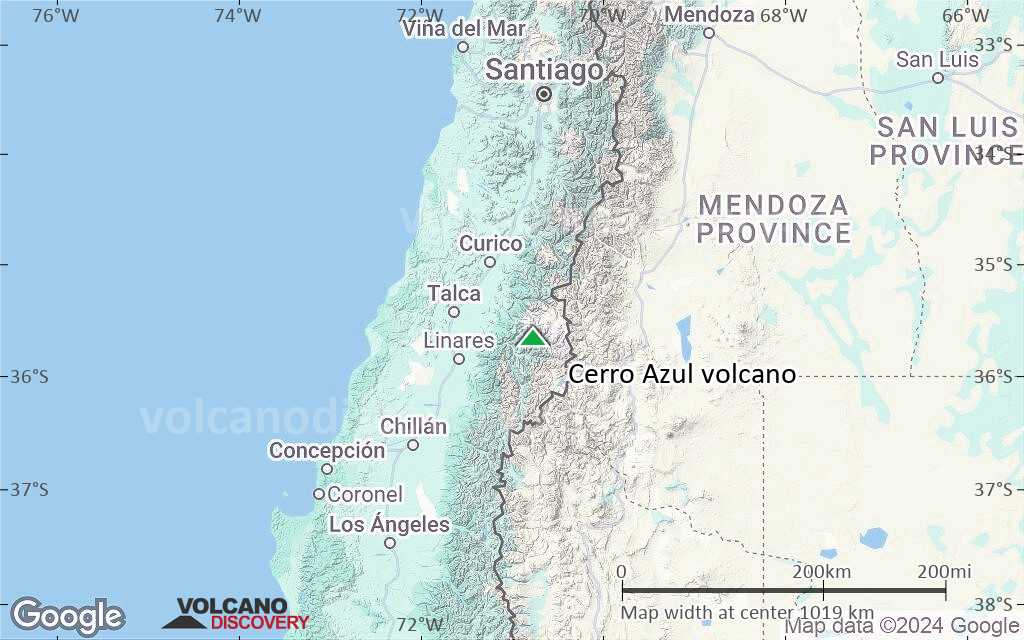
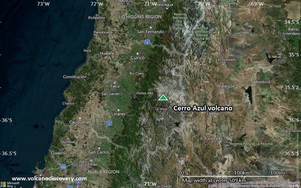
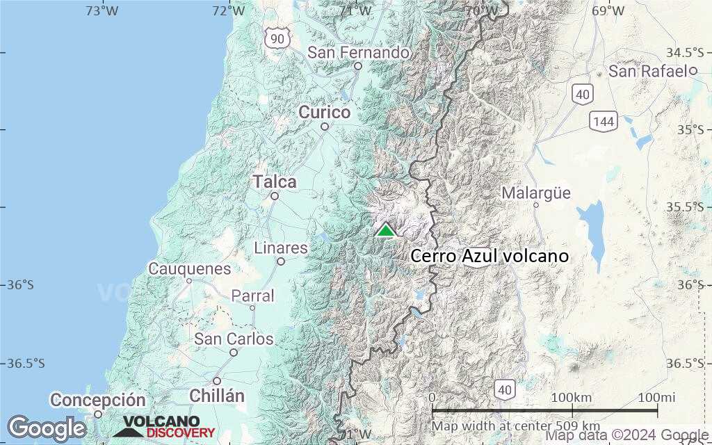
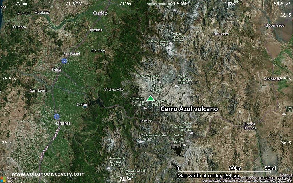
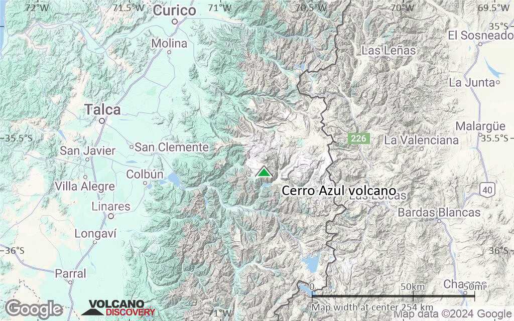
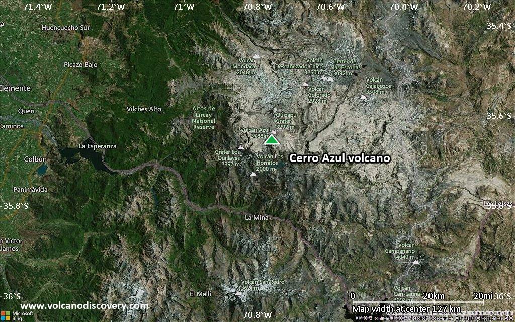
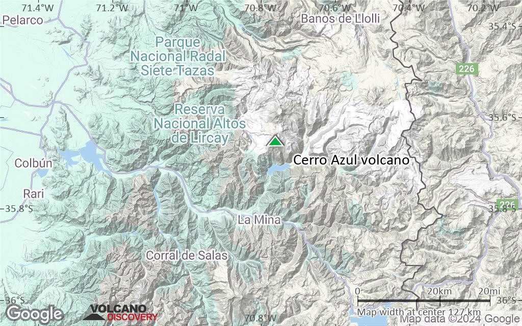
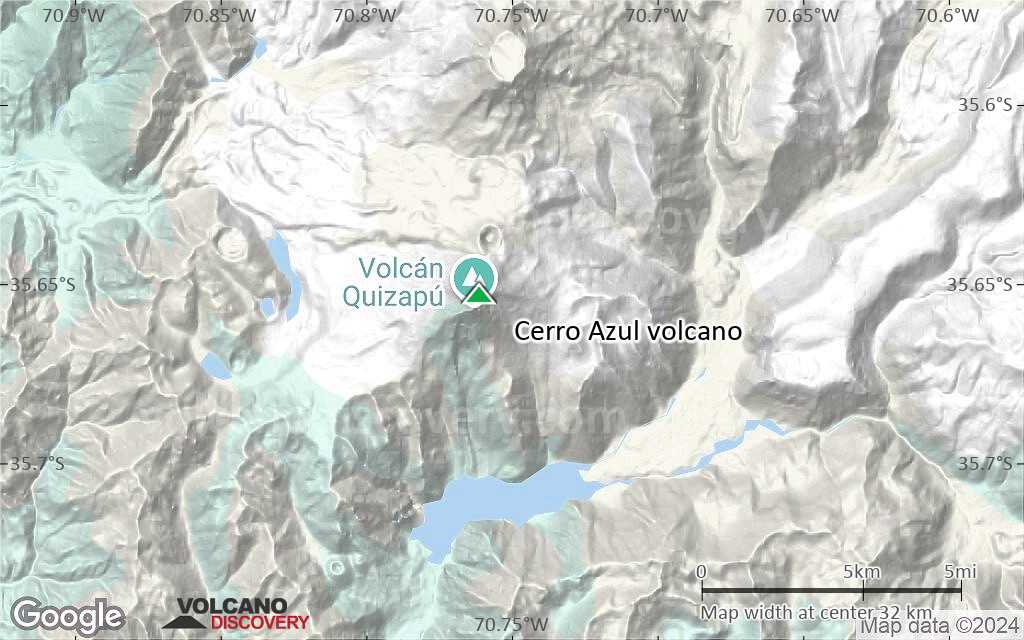
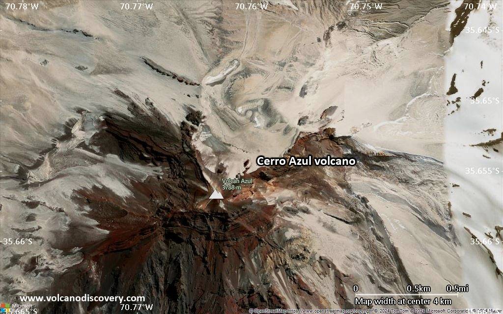
Cerro Azul Volcano
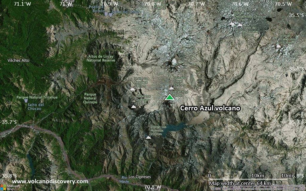
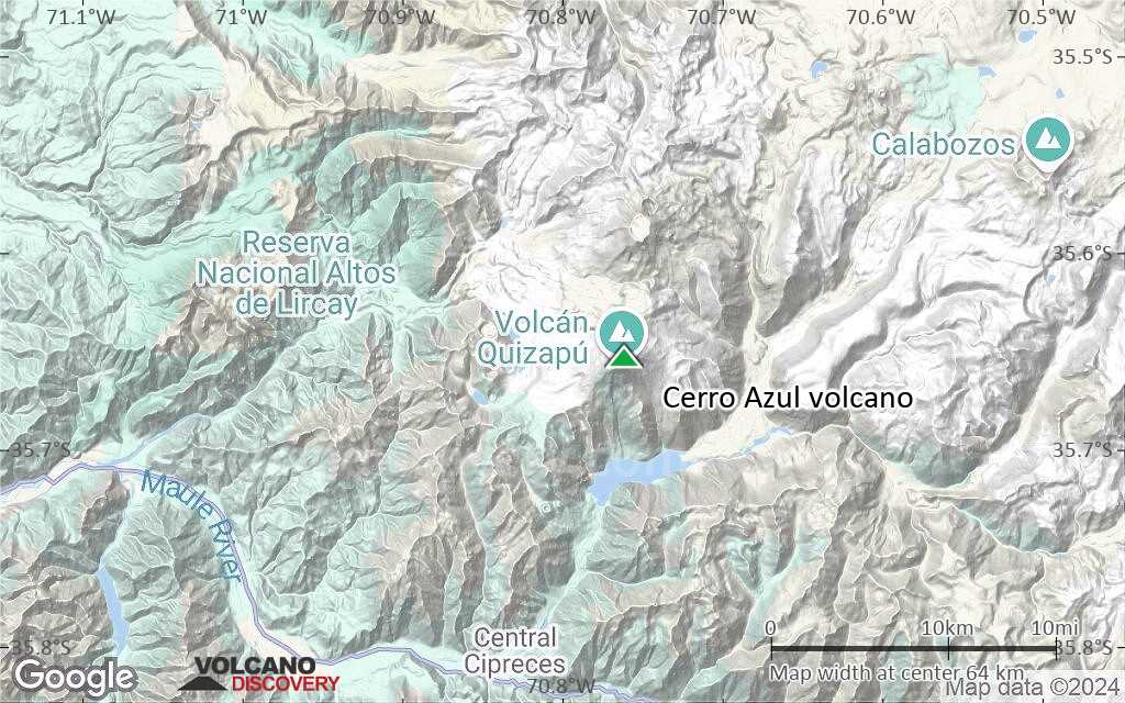
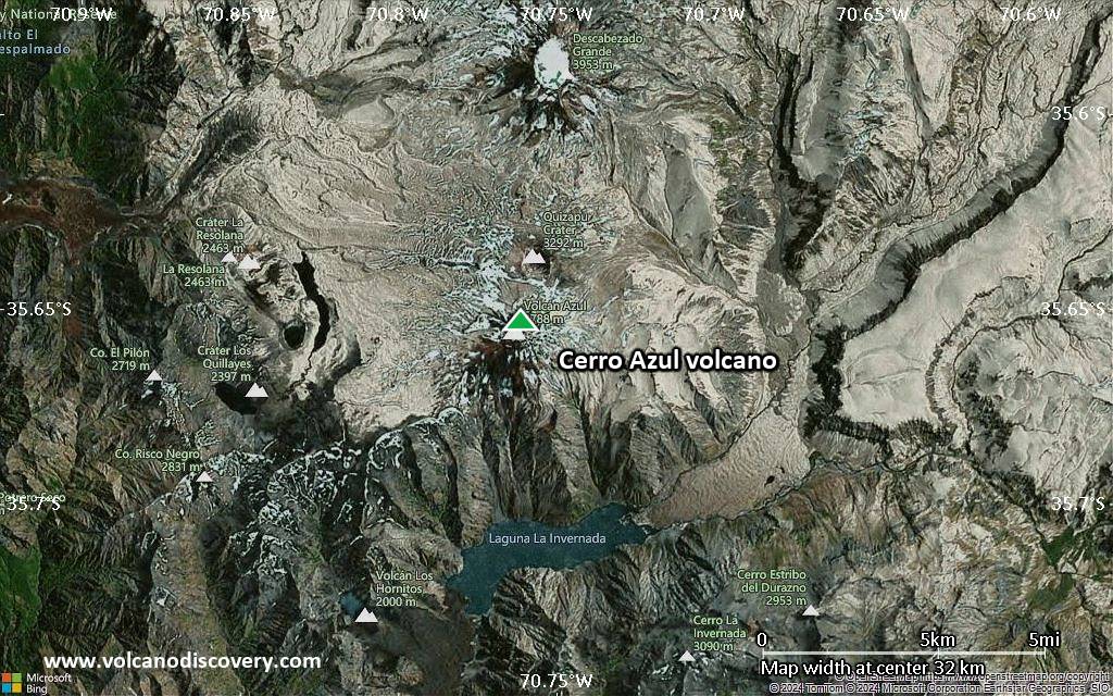
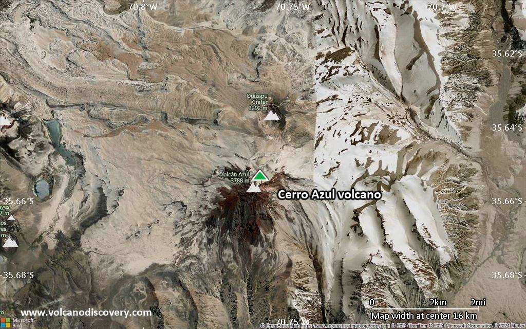
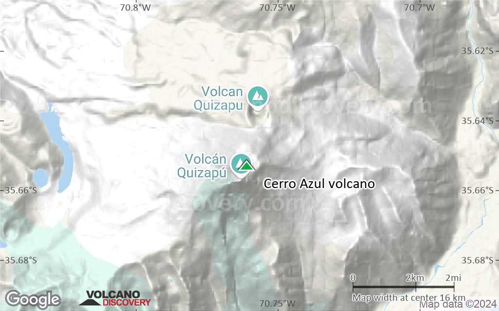
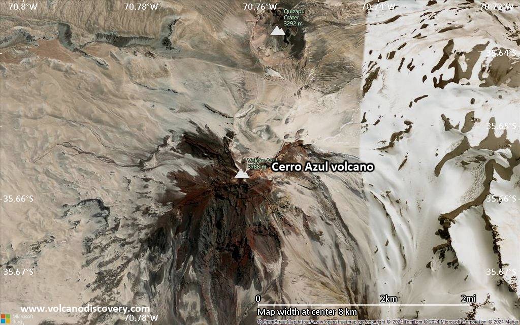
Cerro Azul stratovolcano in Central Chile is located at the southern end of the Descabezado Grande-Cerro Azul group of volcanoes. Its steep summit cone contains a 500 m wide crater.
Cerro Azul is the site of one of the largest explosive eruptions in the 20th centuries. It erupted from the Quizapu vent on April 10-11 1932, producing a Plinian eruption column of 27-30 km (ca. 95,000 ft) height. The eruption formed a 600-700 m wide 150-m-deep crater and blanketed the region with ash.
Quizapu is one of Azul's major vents and located on the northern flank of Cerro Azul. It formed in 1846 during the first historical eruption at Cerro Azul, which was accompanied by voluminous dacitic lava flows that traveled both east into the Estero Barroso valley and west into the Río Blanquillo valley. Quizapu was also the site of the massive 1932 eruption.
La Resoloma Craters are 3 basaltic-andesite cinder cones on the W flank. They erupted Los Hornitos are cinder cones on the lower SW flank.
Note: there are 2 volcanoes with similar names: Volcan Azul in Nicaragua, and Cerro Azul in the Galapagos Islands.
Cerro Azul volcano eruptions: 1967, 1949, 1933-38, 1932 (10-11 April, Plinian eruption from Quizabu), 1916-32, 1914, 1913 (?), 1912, 1907, 1906, 1903 (?), 1846-53 (?)
Latest nearby earthquakes
| Date and Time | Mag / Depth | Distance / Location | |||
|---|---|---|---|---|---|
Significant volcanic eruptions: Cerro Azul volcano
Additionally, there are 2 uncertain or discredited eruptions from Cerro Azul volcano.
| Date | Note | VEI | Deaths | Damage | |
|---|---|---|---|---|---|
| Quizapu Historical obs./docs. | 2? | ||||
| Quizapu Historical obs./docs. | 2? | ||||
| Quizapu Historical obs./docs. | 2 | ||||
| Quizapu Historical obs./docs. | 5+ | ||||
| Quizapu Historical obs./docs. | 3 | ||||
?? | Uncertain Eruption | 2? | |||
| Quizapu Historical obs./docs. | 2 | ||||
| Quizapu Historical obs./docs. | 2 | ||||
| Quizapu Historical obs./docs. | 2 | ||||
?? | Uncertain Eruption | 2? | |||
| Quizapu Historical obs./docs. | 2 | ||||
Cerro Azul Volcano FAQ
+When was the last eruption of Cerro Azul volcano?
The last confirmed eruption of Cerro Azul occurred in 1967.
+How often does Cerro Azul volcano erupt?
Since 1846, Cerro Azul volcano has had at least 9 historically documented eruptions. This means that it erupts on average every 19.9 years.
Many eruptions of Cerro Azul have lasted more than one year. In total, the volcano has been in eruption during 37 out of 179 years until now. In other words, Cerro Azul has been active at least one in 4.8 years on average. Note that this value is likely an underestimate, because the known history of eruptions from Cerro Azul is likely incomplete, especially further back in time.
+How active is Cerro Azul volcano at present?
Cerro Azul volcano is relatively active: Since 1900, it has had 29 eruptions, and been active during 29 years out of 126 as of now. This means, Cerro Azul has been in eruption one in 4.3 years on average. The last eruption was in 1967 and ended 59 years ago.
+When was the largest eruption of Cerro Azul volcano?
The largest eruption of Cerro Azul volcano in historic times occurred during 1916 - 1932. It ranks as a plinian eruption with a magnitude 5 on the VEI (Volcanic Explosivity Index) scale. Eruption of this size are often catastrophic on a regional scale.
Latest satellite images
Cerro Azul Volcano Maps