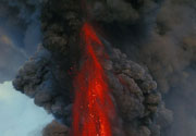
Cerro Bravo Volcano
Updated: Apr 30, 2024 05:20 GMT -
stratovolcano 4000+ m / 13,123 ft
Colombia, 5.09°N / -75.3°W
Current status: normal or dormant (1 out of 5)
Colombia, 5.09°N / -75.3°W
Current status: normal or dormant (1 out of 5)
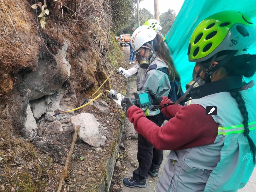
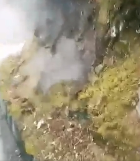
Last update: 23 May 2023 (geochemical analyses found gases non-volcanic in origin, alert status remains at Green)
Cerro Bravo volcano is located 145 km NW of Bogota, Colombia, north of Nevado del Ruiz volcano.
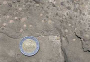
It consists of dominantly dacitic lava-domes. In the past 4000 years, the volcano has had at least 7 violent (plinian) explosive eruptions, producing pumice layers and pyroclastic flows.
[smaller] [larger]
Cerro Bravo volcano eruptions: 1720 ± 150, 1330 ± 75, 1050 ± 75, 750 AD ± 150, 730 BC ± 75, 1050 BC ± 200, 1310 BC ± 150 , 4280 BC ± 150 (radiocarbon dated)
Latest nearby earthquakes
| Time | Mag. / Depth | Distance / Location | |||
Latest satellite images