


Ch'uga-ryong Volcano
Updated: Aug 25, 2025 13:08 GMT -
Shield volcano
North/South Korea, 38.33°N / 127.33°E 

Summit height: 452 m / 1,483 ft
Current status: (probably) extinct (0 out of 5)
[smaller] [larger]
Ch'uga-ryong volcano eruptions: unknown, no recent eruptions
Latest nearby earthquakes
| Date and Time | Mag / Depth | Distance / Location | |||
|---|---|---|---|---|---|
Background
An area of extensive basaltic lava flows occupies a graben, the NNE-SSW-trending Ch'uga-ryong rift, that cuts diagonally across the demilitarized zone between North and South Korea. One 40-km-long lava flow originated from the low Ap-san shield volcano, which has a 200-m-wide summit crater and more than 20 satellitic cones. Another voluminous late-Pleistocene lava flow is 60 km long. Alkaline basaltic lava flows at the SW portion of the rift were erupted over Precambrian sediments and igneous rocks, and were estimated by Lee (1981) to be late-Pleistocene or early Holocene in age.---
Smithsonian / GVP volcano information
Ch'uga-ryong Volcano Photos

Greek Frapé : 1 spoon of Néscafé®, 1 glas of cold water, sugar, fresh milk. Get all in a mixer and put some ice cubes to keep it cool. Ideal drink for summer time! (Photo...

Kirchendach und Bougainvilla Blüten (Photo: Tobias Schorr)

stratovolcano Mount Pico in clouds, highest mountain of Portugal, view from Lajes do Pico, Pico Isl., Acores (Photo: WNomad)

Brennisteinsalda / Landmannalaugar / Iceland Sep 2014 (Photo: Martin Hertel)
Latest satellite images


Ch'uga-ryong Volcano Maps
Below is a selection of maps showing the location and surroundings of the volcano at various resolutions based on aerial-imagery / terrain maps. Feel free to use them for non-commercial purposes on your blog or website as long as you credit them with a link back to this page (click to copy it).
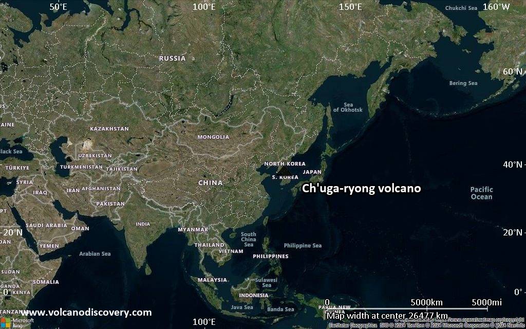
Satellite/aerial-type map of Ch'uga-ryong volcano (world scale)
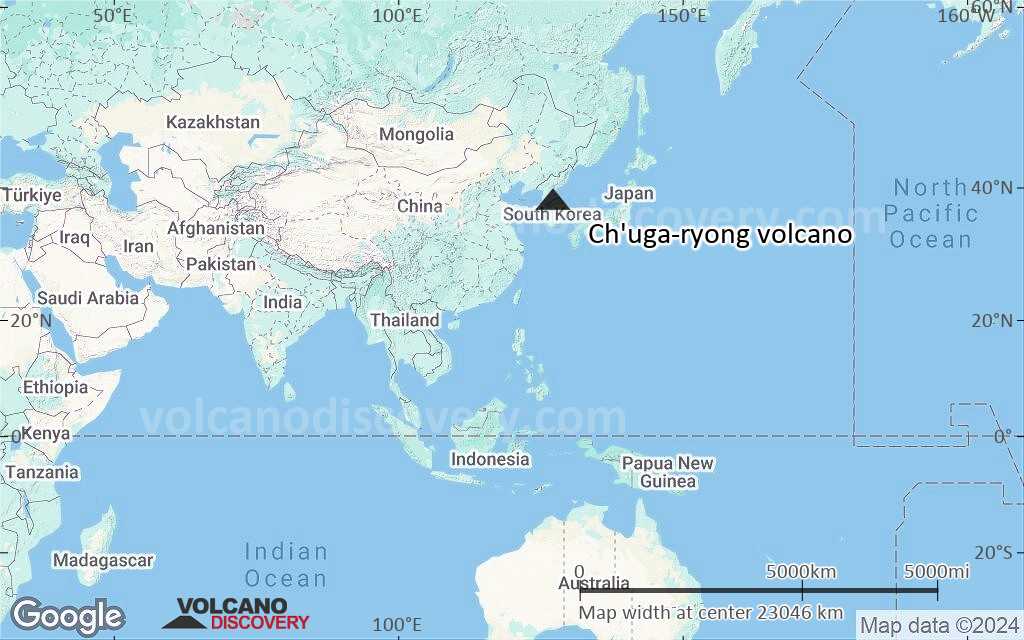
Terrain-type map of Ch'uga-ryong volcano (world scale)
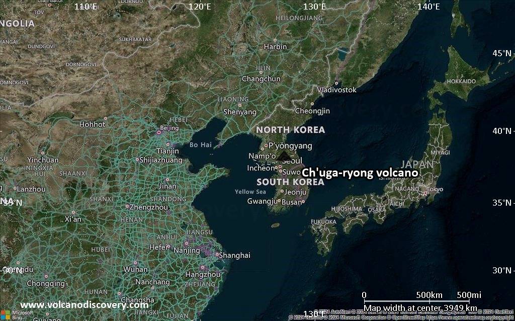
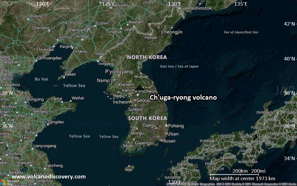
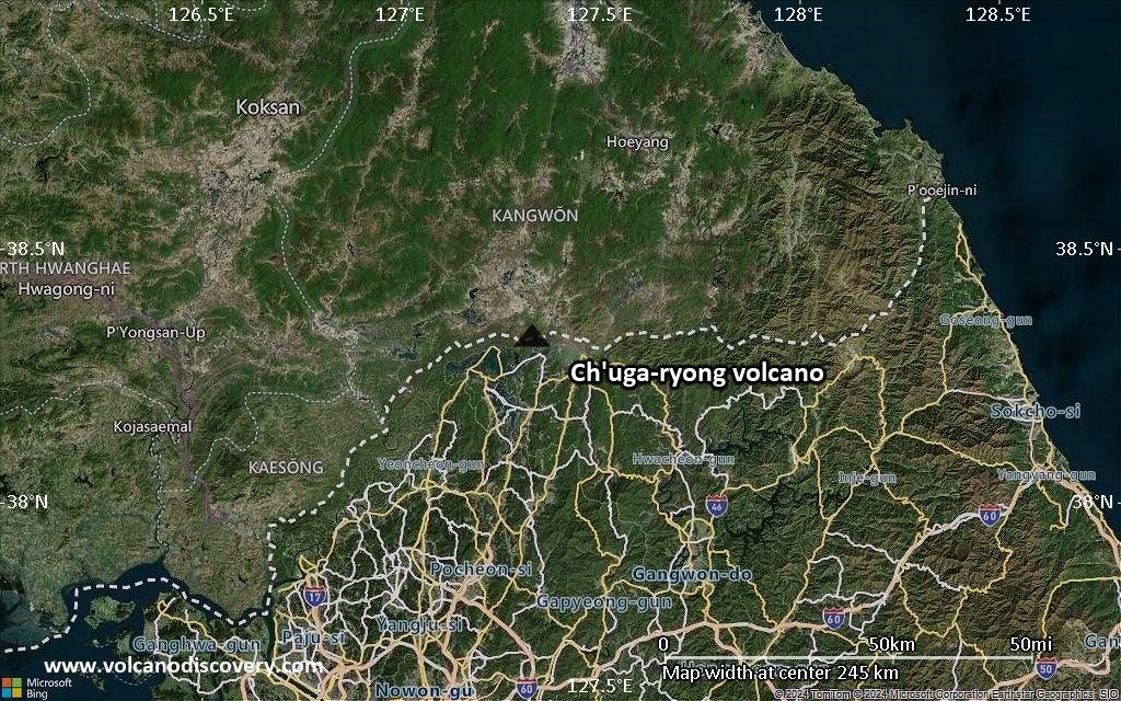
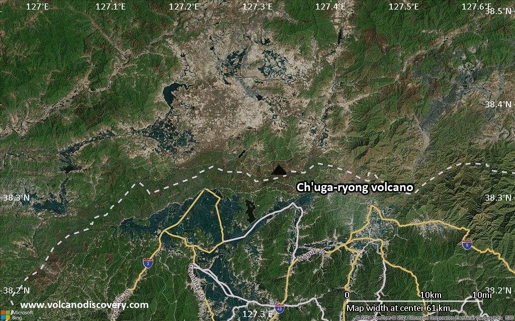
Satellite/aerial-type map of Ch'uga-ryong volcano (region scale large)
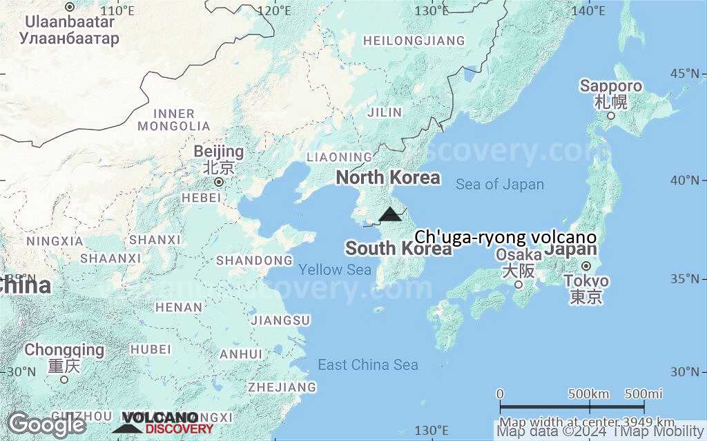
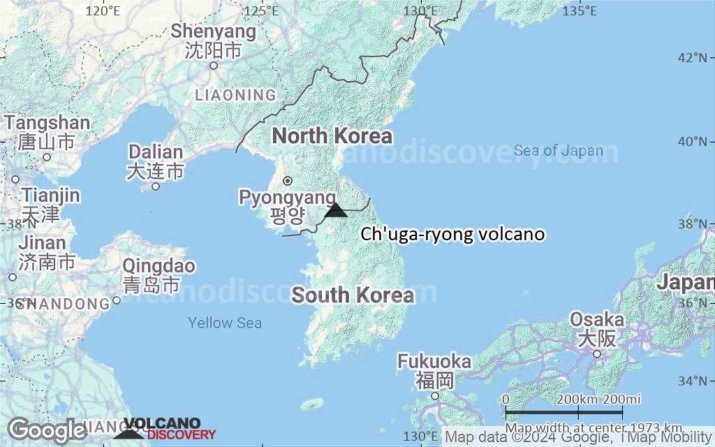
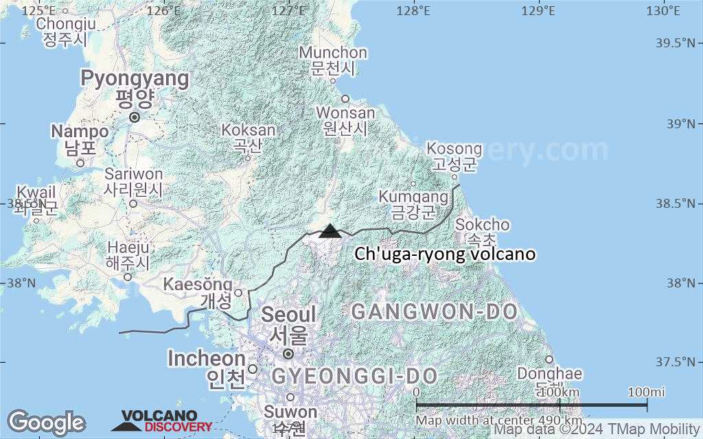
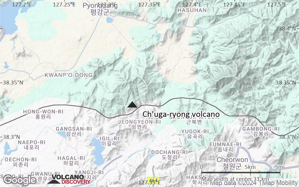
Terrain-type map of Ch'uga-ryong volcano (region scale large)
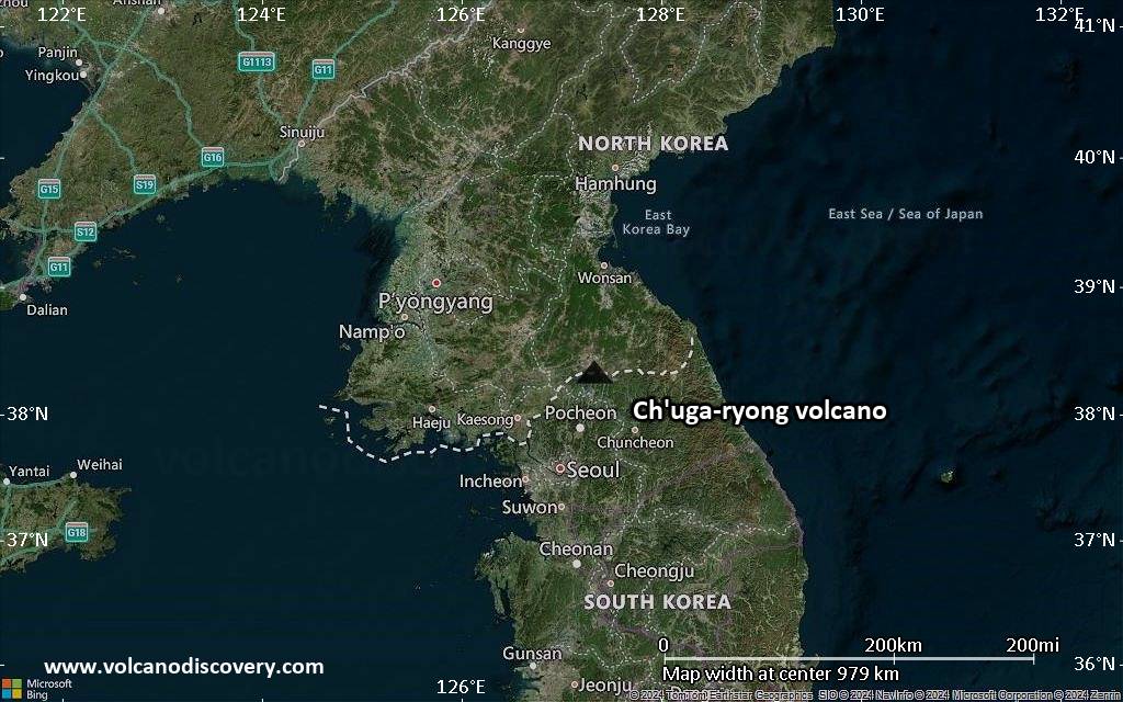
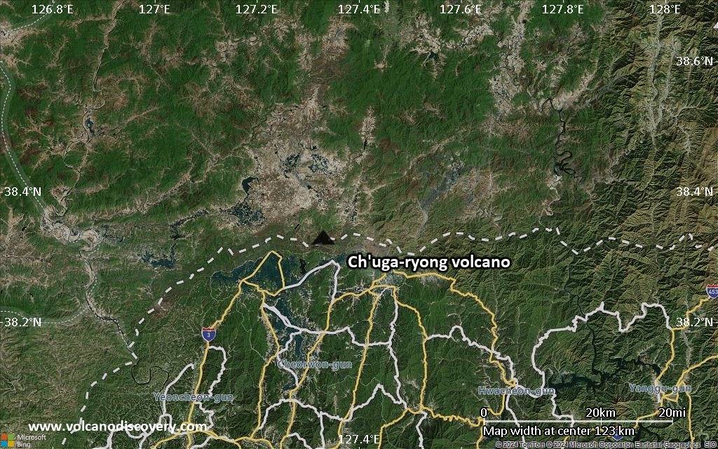
Satellite/aerial-type map of Ch'uga-ryong volcano (region scale medium)
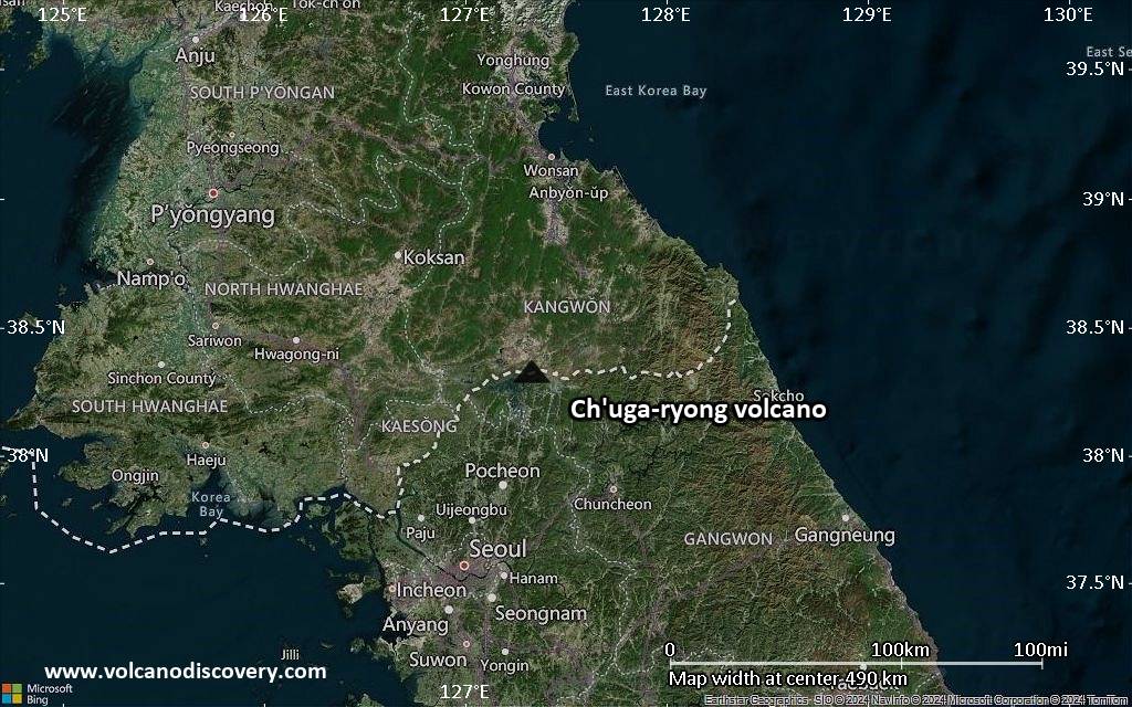
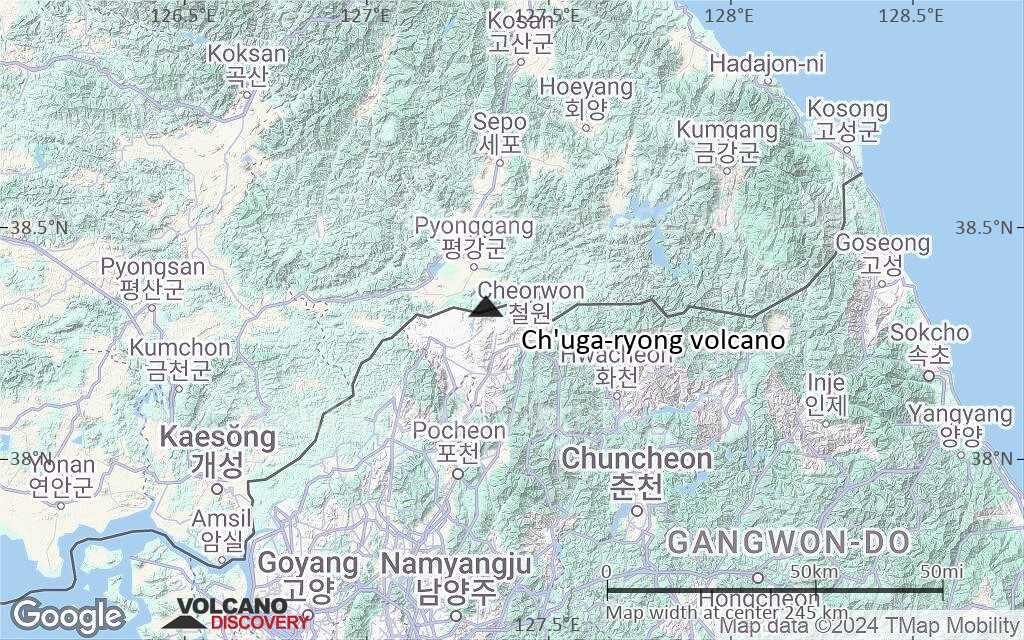
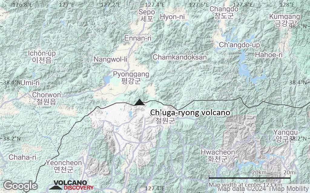
Terrain-type map of Ch'uga-ryong volcano (region scale medium)
Satellite/aerial-type map of Ch'uga-ryong volcano (region scale small)

Terrain-type map of Ch'uga-ryong volcano (region scale small)
Satellite/aerial-type map of Ch'uga-ryong volcano (local scale large)
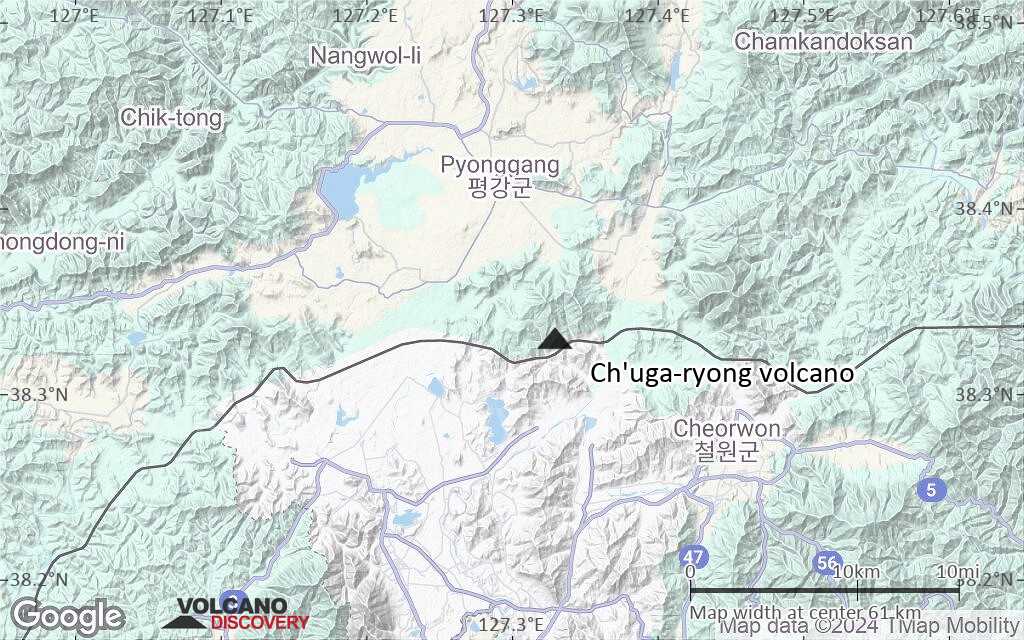
Terrain-type map of Ch'uga-ryong volcano (local scale large)
Satellite/aerial-type map of Ch'uga-ryong volcano (local scale medium)
Terrain-type map of Ch'uga-ryong volcano (local scale medium)
Satellite/aerial-type map of Ch'uga-ryong volcano (local scale small)
Terrain-type map of Ch'uga-ryong volcano (local scale small)
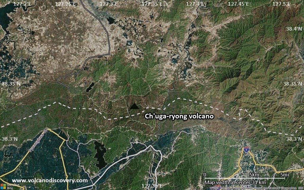
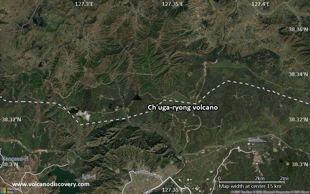
Satellite/aerial-type map of Ch'uga-ryong volcano (scale of 10s of km)
Terrain-type map of Ch'uga-ryong volcano (scale of 10s of km)
Satellite/aerial-type map of Ch'uga-ryong volcano (scale of 20-40 km)
Terrain-type map of Ch'uga-ryong volcano (scale of 20-40 km)
Satellite/aerial-type map of Ch'uga-ryong volcano (scale of approx. 10-20 km)
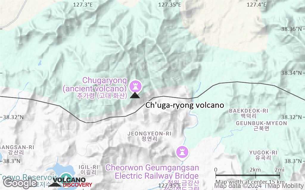
Terrain-type map of Ch'uga-ryong volcano (scale of approx. 10-20 km)
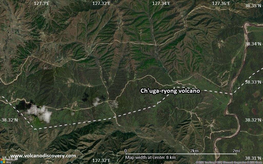
Satellite/aerial-type map of Ch'uga-ryong volcano (scale of 5-10 km)

Satellite/aerial-type map of Ch'uga-ryong volcano (scale of few kilometers)


