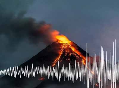
| RSS | EN | DE | EL | ES | FR | IT | RU

Clark Volcano

Updated: Jul 13, 2025 18:11 GMT -
Submarine volcano
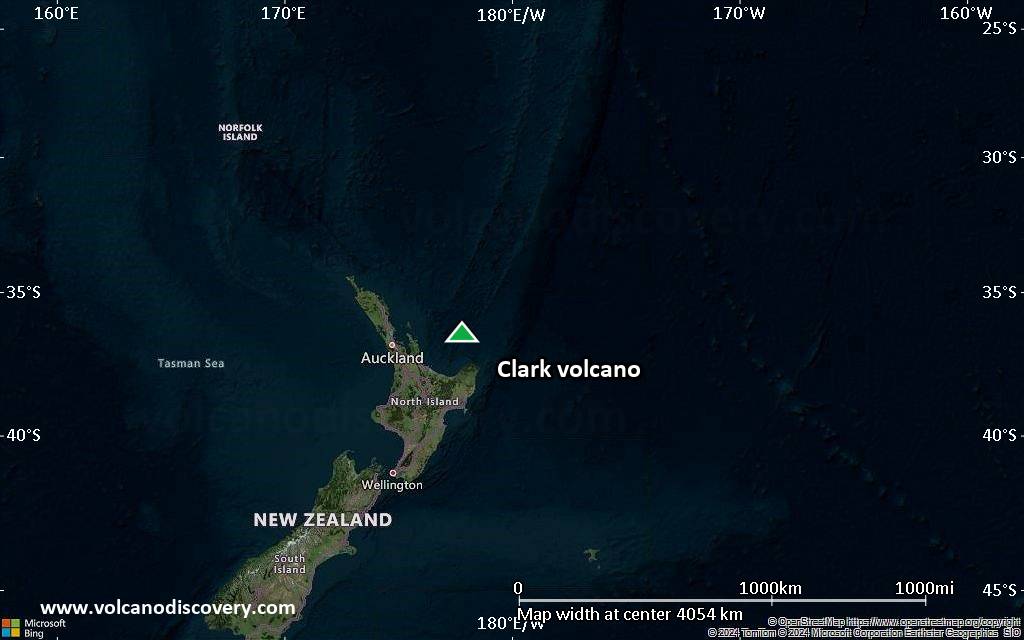
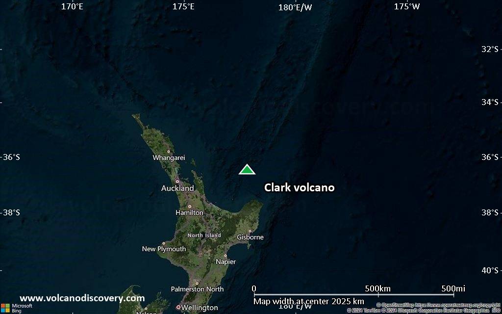
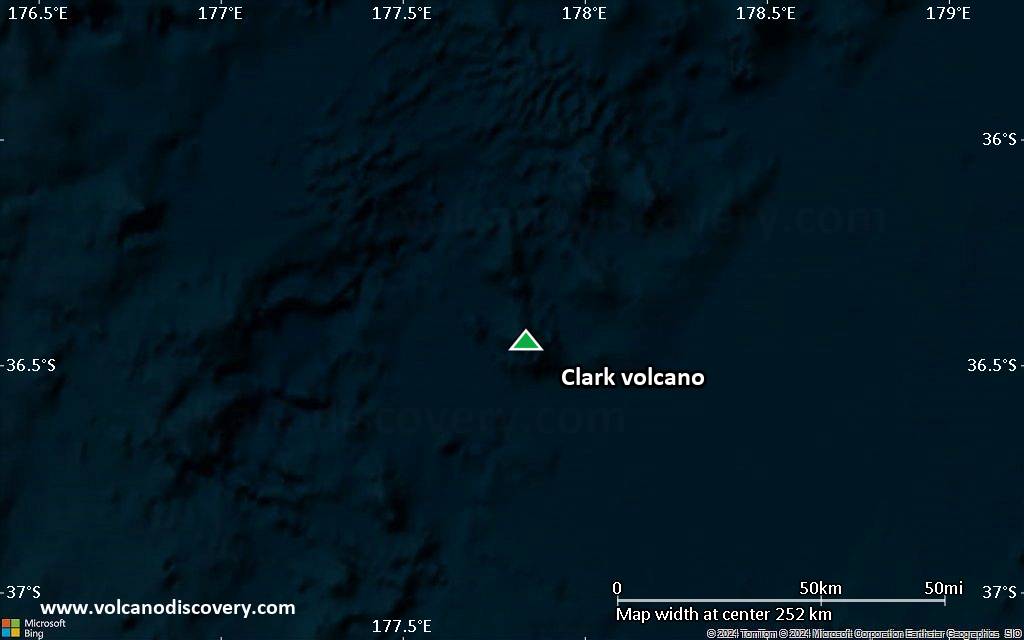
New Zealand, -36.45°S / 177.84°E
Summit height: -860 m / - 2,821 ft
Current status: normal or dormant (1 out of 5)

[smaller] [larger]
Typical eruption style: unspecified
Clark volcano eruptions: unknown, no recent eruptions

Latest nearby earthquakes

Date and TimeMag / DepthDistance / Location
Jul 10, 11:37 am (GMT +12)
4.4

155 km
26 km (16 mi) to the SW South Pacific Ocean, 160 km north of Whakatane, Bay of Plenty, New ZealandI FELT IT Info
Sunday, July 6, 2025 GMT (1 quake)
Jul 7, 12:12 am (GMT +12)
3.2

177 km
29 km (18 mi) to the NE South Pacific Ocean, 212 km northeast of Whakatane, Bay of Plenty, New Zealand Info
Friday, July 4, 2025 GMT (1 quake)
Jul 5, 09:32 am (GMT +12)
2.9

213 km
28 km (17 mi) to the N South Pacific Ocean, 228 km northeast of Tauranga, Bay of Plenty, New Zealand Info

Background

Clark submarine volcano lies near the southern end of the Southern Kermadec arc. This basaltic and dacitic stratovolcano consists of a basal substrate of massive lava flows, pillow lavas, and pillow tubes overlain by volcaniclastic sediments. Craters occupy the complex crest of the volcano. Clark is the southernmost volcano of the submarine chain that displays hydrothermal activity. Diffuse hydrothermal venting and sulfide chimneys were observed near the summit of Clark volcano during a New Zealand-American NOAA Vents Program expedition in 2006.
---
Smithsonian / GVP volcano information

Latest satellite images

clark satellite image sat1clark satellite image sat2

Clark Volcano Maps

Below is a selection of maps showing the location and surroundings of the volcano at various resolutions based on aerial-imagery / terrain maps. Feel free to use them for non-commercial purposes on your blog or website as long as you credit them with a link back to this page (click to copy it).
Satellite/aerial-type map of Clark volcano (world scale)
Terrain-type map of Clark volcano (world scale)
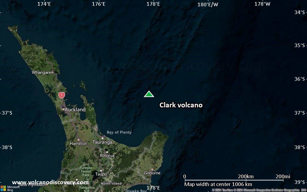
Satellite/aerial-type map of Clark volcano (region scale large)
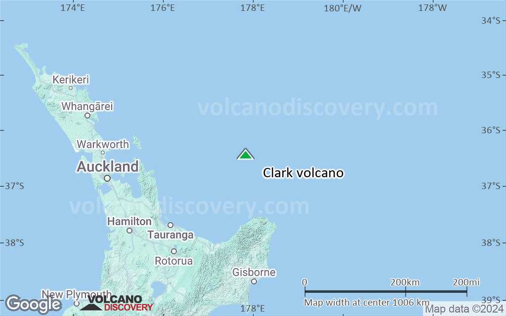
Terrain-type map of Clark volcano (region scale large)
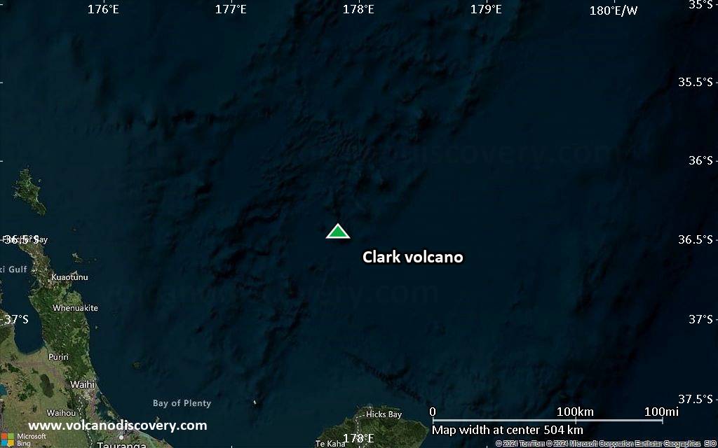
Satellite/aerial-type map of Clark volcano (region scale medium)
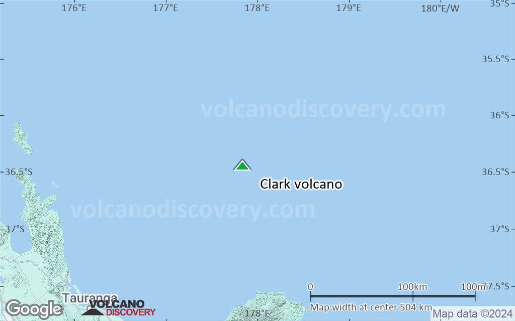
Terrain-type map of Clark volcano (region scale medium)
Satellite/aerial-type map of Clark volcano (region scale small)
Terrain-type map of Clark volcano (region scale small)
Satellite/aerial-type map of Clark volcano (local scale large)
Terrain-type map of Clark volcano (local scale large)
Satellite/aerial-type map of Clark volcano (local scale medium)
Terrain-type map of Clark volcano (local scale medium)
Satellite/aerial-type map of Clark volcano (local scale small)
Terrain-type map of Clark volcano (local scale small)
Satellite/aerial-type map of Clark volcano (scale of 10s of km)
Terrain-type map of Clark volcano (scale of 10s of km)
Satellite/aerial-type map of Clark volcano (scale of 20-40 km)
Terrain-type map of Clark volcano (scale of 20-40 km)
Satellite/aerial-type map of Clark volcano (scale of approx. 10-20 km)
Terrain-type map of Clark volcano (scale of approx. 10-20 km)
Satellite/aerial-type map of Clark volcano (scale of 5-10 km)
Satellite/aerial-type map of Clark volcano (scale of few kilometers)
Volcanoes & Earthquakes - new app for Android
Guaranteed tours
1-17 Aug 2025: Volcanoes and Spices - Sulawesi/Halmahera (Indonesia)
1-14 Oct 2025: Desert, salt and volcanoes - Danakil desert (Ethiopia)
4-12 Oct 2025: From Stromboli to Etna - Sicily and Eolian Islands (Italy)
6-21 Oct 2025: From Krakatau to Bali - Java (Indonesia)
3-19 Nov 2025: Volcanoes and Spices - Sulawesi/Halmahera (Indonesia)
= spaces available   = guaranteed   = few spaces left   = booked out

No news in this list.

On this page:

Try our free app!
Volcanoes & Earthquakes - new app for Android
Android | iOS version

More on VolcanoDiscovery

Why is there advertising on this site?

Support us - Help us upgrade our services!

We truly love working to bring you the latest volcano and earthquake data from around the world. Maintaining our website and our free apps does require, however, considerable time and resources.
We need financing to increase hard- and software capacity as well as support our editor team. We're aiming to achieve uninterrupted service wherever an earthquake or volcano eruption unfolds, and your donations can make it happen! Every donation will be highly appreciated. If you find the information useful and would like to support our team in integrating further features, write great content, and in upgrading our soft- and hardware, please make a donation (PayPal).

Planned features:Thanks to your past donations, these features have been added recently:
Download and Upgrade the Volcanoes & Earthquakes app to get one of the fastest seismic and volcano alerts online:
Android | IOS
Thank you!
Sources: VolcanoDiscovery / VolcanoAdventures and other sources as noted.
Use of material: Most text and images on our websites are owned by us. Re-use is generally not permitted without authorization. Contact us for licensing rights.
Volcanoes & Earthquakes
VolcanoDiscovery Home
Volcanoes | Earthquakes | Photos | Volcano News | | Shop | App
Adventure & Study Travel
Tours to Volcanoes and Volcanic Areas: walking tours, photo tours, study tours
Tours & Dates | FAQ | About us
Get our newsletter!
Company info
Contact | Legal info | Terms & conditions
Follow us
Follow us on facebook Follow us on Instagram Follow us on Bluesky Follow us on Twitter Visit our Youtube channel
EN | DE | EL | ES | FR | IT | RU
VolcanoDiscovery GmbH, Germany, Reg. nr.: HRB 103744, EU Tax Id: DE 297 465 123 owned and created by
Dr. Tom Pfeiffer, volcanologist, volcano photographer, tour organizer member of
IAVCEI
IAVCEI
Vulkanologische Gesellschaft
Volcanological Society
Ecotourism Greece
Ecotourism Greece
RUV insurance
Insured by R+V
VolcanoDiscovery © 2004- All Rights Reserved | Privacy - Cookie Settings