


Doro Ora Volcano
Updated: Oct 27, 2025 05:17 GMT -
Unknown
Indonesia, -8.75°S / 119.67°E 
Summit height: 668 m / 2192 ft
Current status: (probably) extinct (0 out of 5)
[smaller] [larger]
Doro Ora volcano eruptions: None during the past 10,000 years
Less than few million years ago (Pleistocene)
Latest nearby earthquakes
| Date and Time | Mag / Depth | Distance / Location | |||
|---|---|---|---|---|---|
| Oct 18, 10:52 pm (Makassar) | 2.5 10 km | 16 km (9.8 mi) to the S | Info | ||
Background
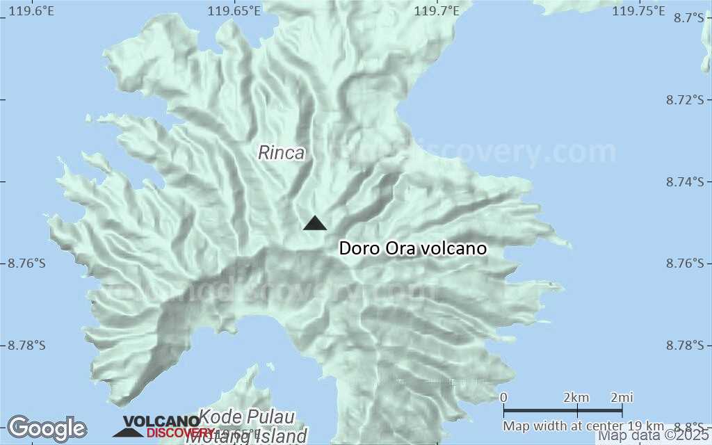
Doro Ora volcano forming the southern end of Rinja Island is of Quaternary age (Ratman and Yasin 1978). Nuso Kode within a bay at the southern end of the island is also of Quaternary age.---
Source: Smithsonian / GVP volcano information
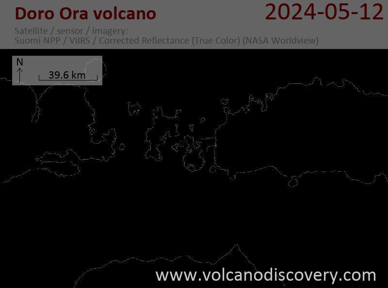
Latest satellite images

Doro Ora Volcano Maps
Below is a selection of maps showing the location and surroundings of the volcano at various resolutions based on aerial-imagery / terrain maps. Feel free to use them for non-commercial purposes on your blog or website as long as you credit them with a link back to this page (click to copy it).
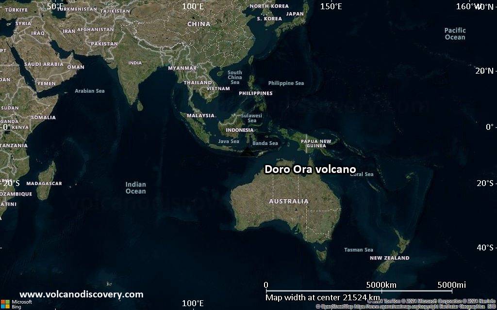
Satellite/aerial-type map of Doro Ora volcano (world scale)
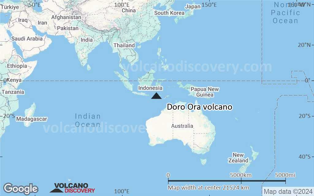
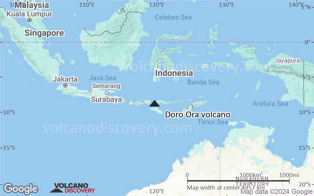
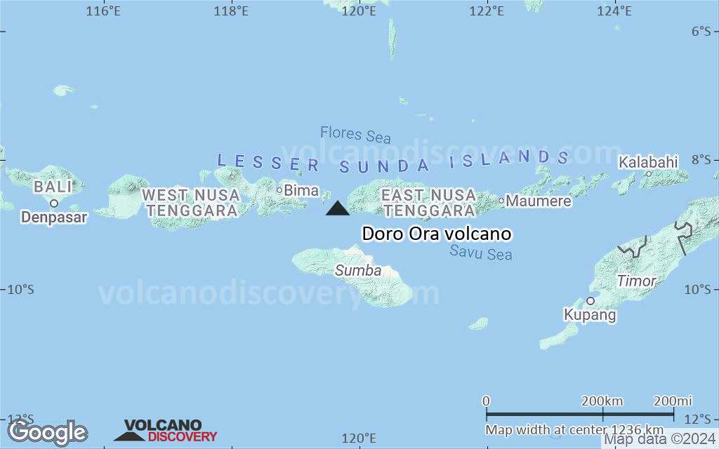
Terrain-type map of Doro Ora volcano (world scale)
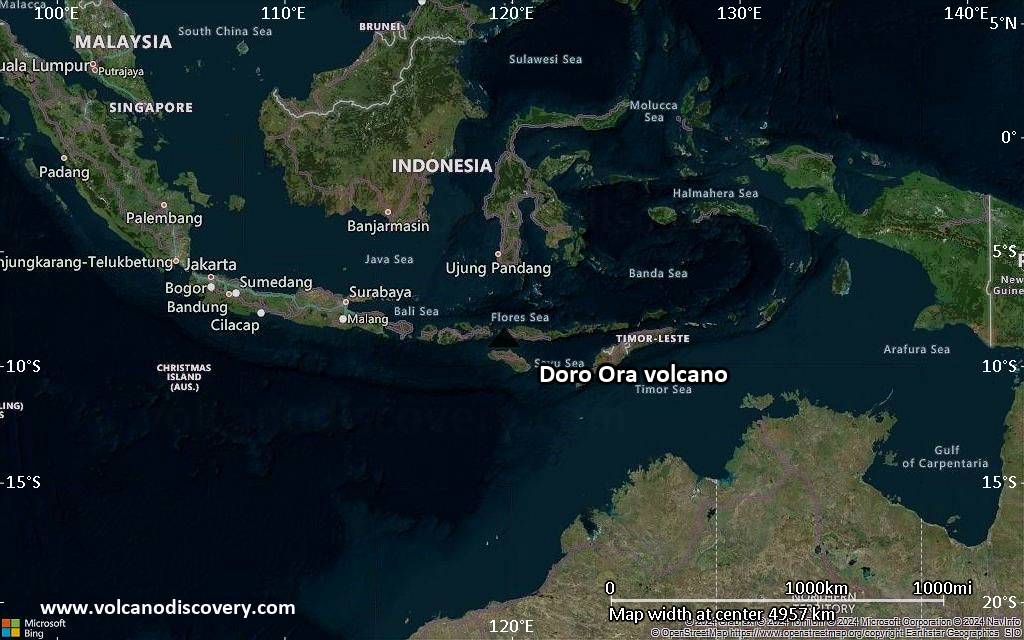
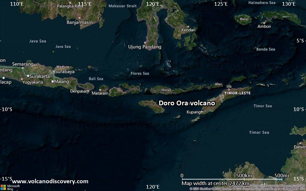
Satellite/aerial-type map of Doro Ora volcano (region scale large)
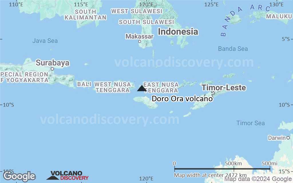
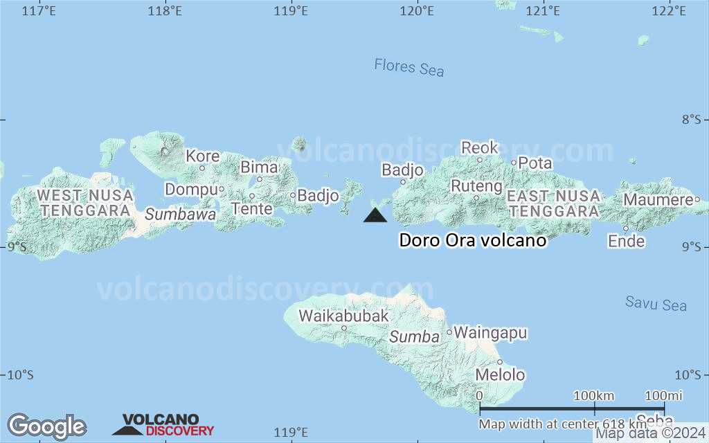
Terrain-type map of Doro Ora volcano (region scale large)
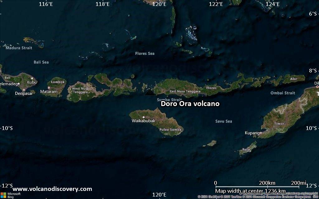
Satellite/aerial-type map of Doro Ora volcano (region scale medium)
Terrain-type map of Doro Ora volcano (region scale medium)
Satellite/aerial-type map of Doro Ora volcano (region scale small)
Terrain-type map of Doro Ora volcano (region scale small)

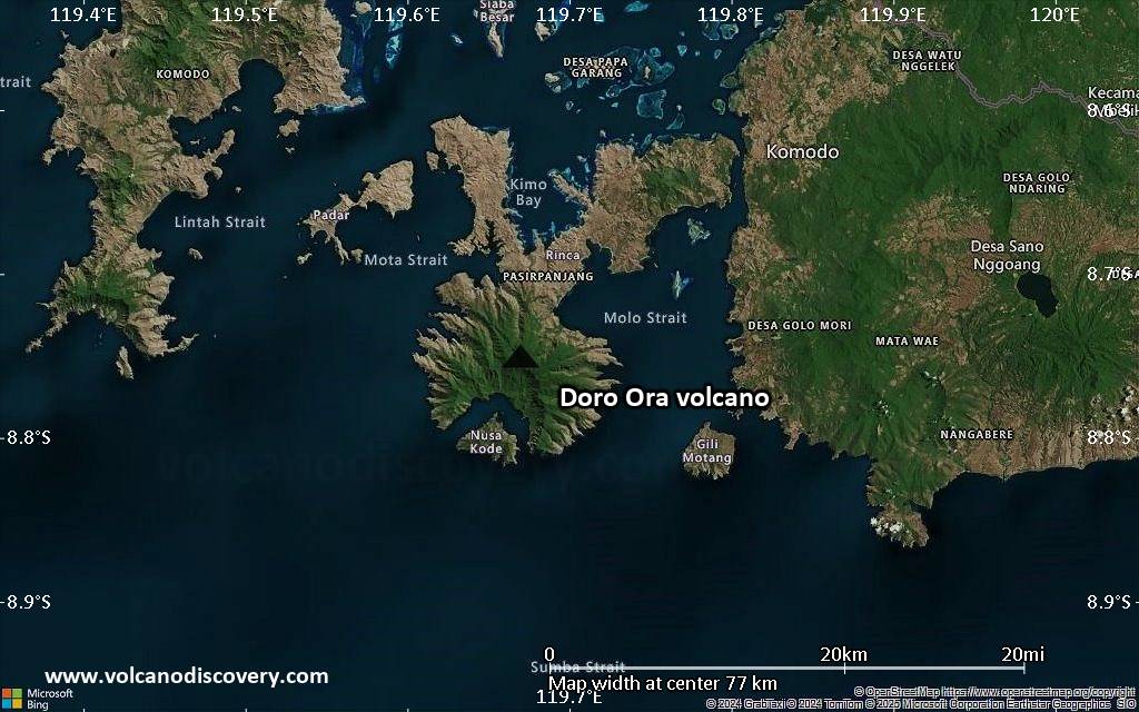
Satellite/aerial-type map of Doro Ora volcano (local scale large)
Terrain-type map of Doro Ora volcano (local scale large)

Satellite/aerial-type map of Doro Ora volcano (local scale medium)

Terrain-type map of Doro Ora volcano (local scale medium)

Satellite/aerial-type map of Doro Ora volcano (local scale small)

Terrain-type map of Doro Ora volcano (local scale small)
Satellite/aerial-type map of Doro Ora volcano (scale of 10s of km)

Terrain-type map of Doro Ora volcano (scale of 10s of km)

Satellite/aerial-type map of Doro Ora volcano (scale of 20-40 km)

Terrain-type map of Doro Ora volcano (scale of 20-40 km)

Satellite/aerial-type map of Doro Ora volcano (scale of approx. 10-20 km)
Terrain-type map of Doro Ora volcano (scale of approx. 10-20 km)

Satellite/aerial-type map of Doro Ora volcano (scale of 5-10 km)

Satellite/aerial-type map of Doro Ora volcano (scale of few kilometers)


