| RSS | EN | DE | EL | ES | FR | IT | RU

Durango Volcano

Updated: Aug 24, 2025 08:17 GMT -
volcanic field
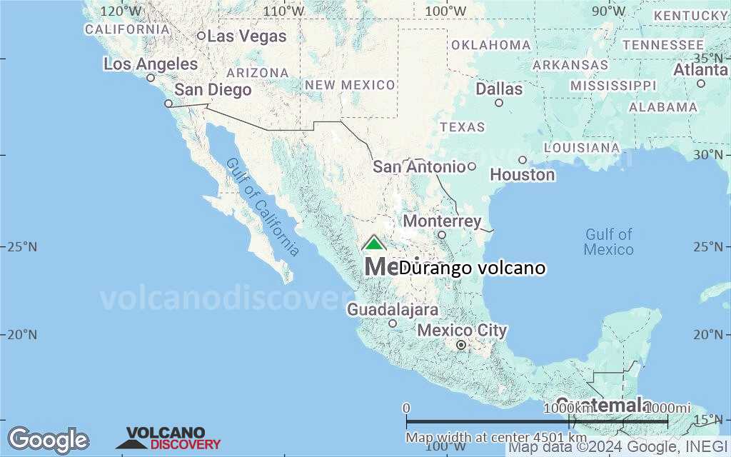
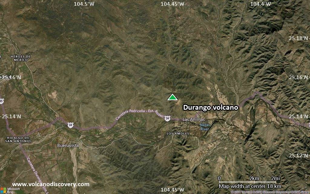
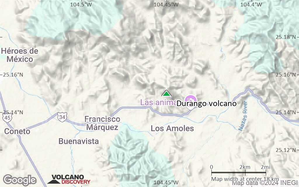
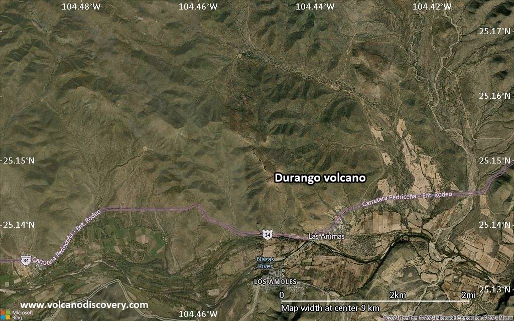
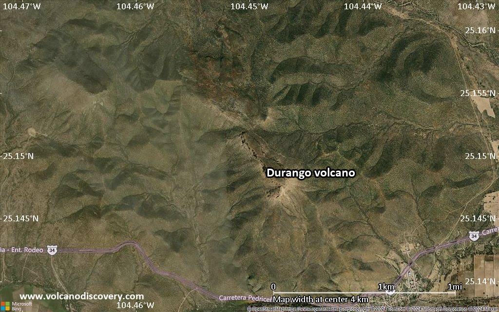
North-Central Mexico, 25.15°N / -104.45°W
Summit height: 2075 m / 6,808 ft
Current status: normal or dormant (1 out of 5)

Durango volcano is a volcanic field in north-central Mexico north of the city of Durango, located at the NW end of the Meseta Central and the eastern edge of the Sierra Madre Occidental. The volcanic field covers 2100 sq km and contains about 100 maars, cinder cones and lava flows.
Young activity occurred from the La Breña cone only a few thousand years ago.

[smaller] [larger]
Typical eruption style: hydromagmatic (maar-forming), strombolian (cinder-cone forming)
Durango volcano eruptions: unknown, probably a few 1000 years ago

Latest nearby earthquakes

Date and TimeMag / DepthDistance / Location

Background

The Durango volcanic field has erupted basanitic lavas and forms a large undissected lava plain within the Mexican Basin and Range province.
Many eruptions in the Durango field display an evolution from predonimantly maar-forming phreatomagmatic eruptions in the past to dominantly magmatic eruptions (strombolian activity) building cinder cones and erupting lava flows in younger times. This suggests a trend of decreasing presence of ground water in the area over time.
La Breña-El Jagüey maar complex consists of 2 intersecting maars, the largest of which (La Breña) contains a series of nested cinder cones. The maar complex is one of the youngest eruptive centers of the Durango volcanic field.

Sources:
- Smithsonian / GVP volcano information
- Jose J Aranda-Gómez et al (1992) "The La Breña - El Jagüey Maar Complex, Durango, México: I. Geological evolution", Bull. Volc., V 54 (5), pp. 393-404

Latest satellite images

Durango satellite image sat1Durango satellite image sat2

Durango Volcano Maps

Below is a selection of maps showing the location and surroundings of the volcano at various resolutions based on aerial-imagery / terrain maps. Feel free to use them for non-commercial purposes on your blog or website as long as you credit them with a link back to this page (click to copy it).
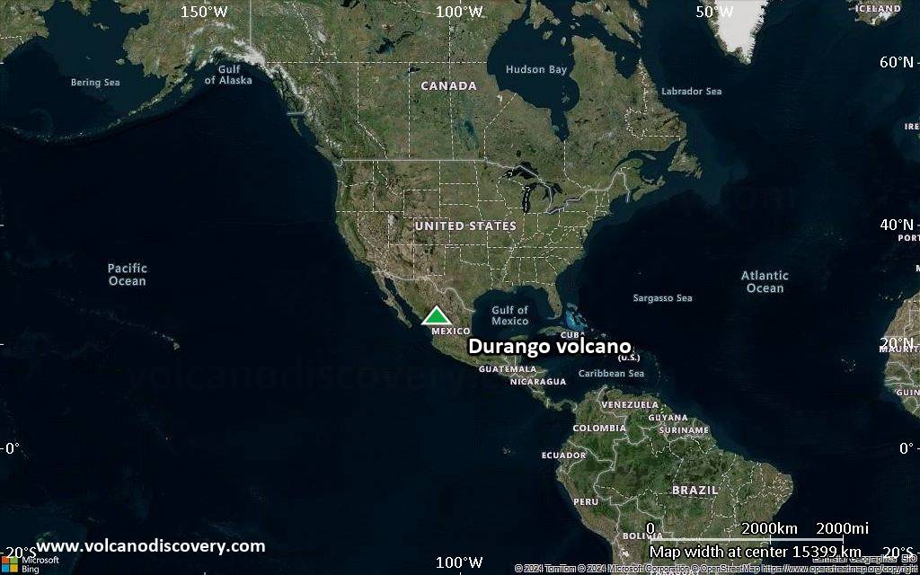
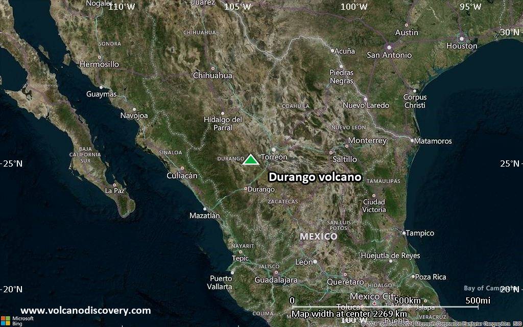
Satellite/aerial-type map of Durango volcano (world scale)
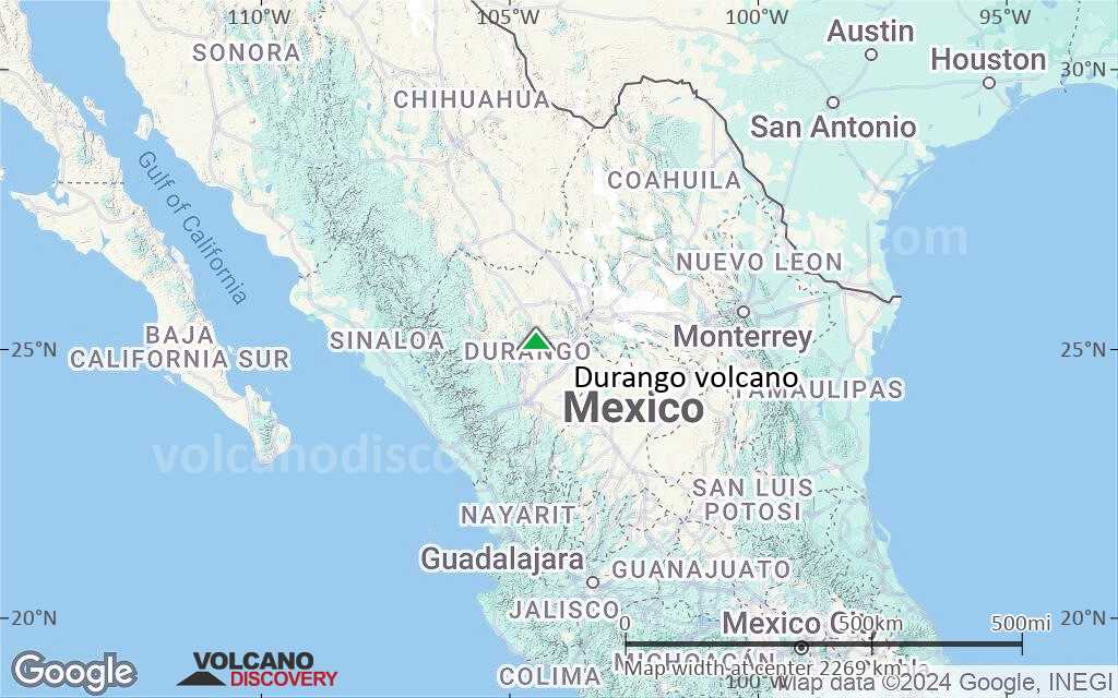
Terrain-type map of Durango volcano (world scale)
Satellite/aerial-type map of Durango volcano (region scale large)
Terrain-type map of Durango volcano (region scale large)
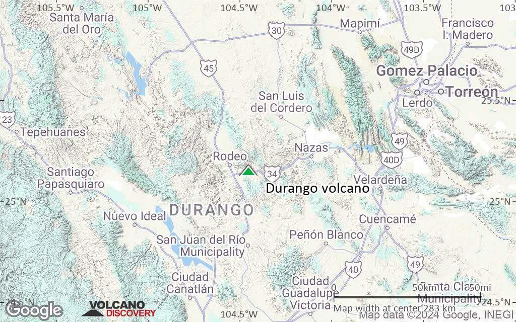
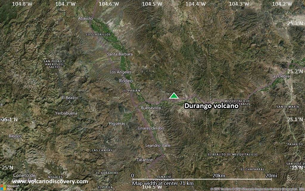
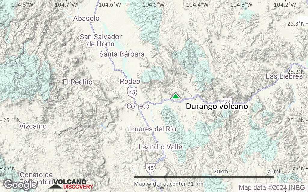
Satellite/aerial-type map of Durango volcano (region scale medium)
Terrain-type map of Durango volcano (region scale medium)
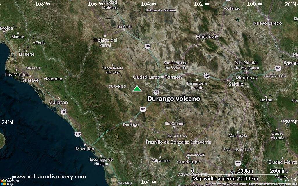
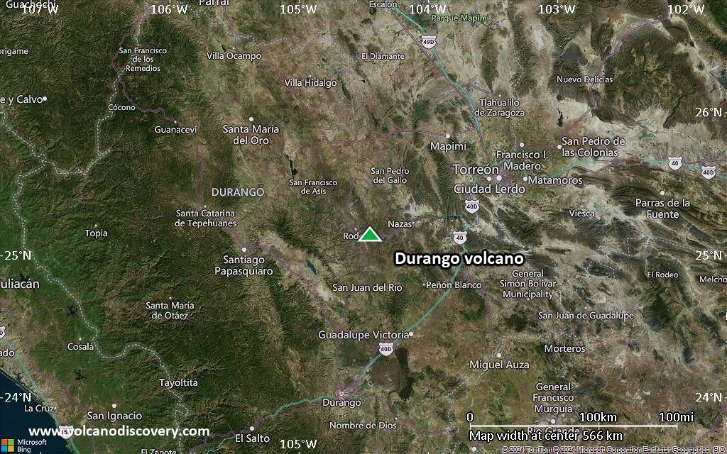
Satellite/aerial-type map of Durango volcano (region scale small)
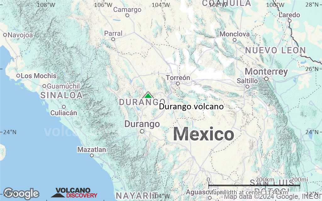
Terrain-type map of Durango volcano (region scale small)
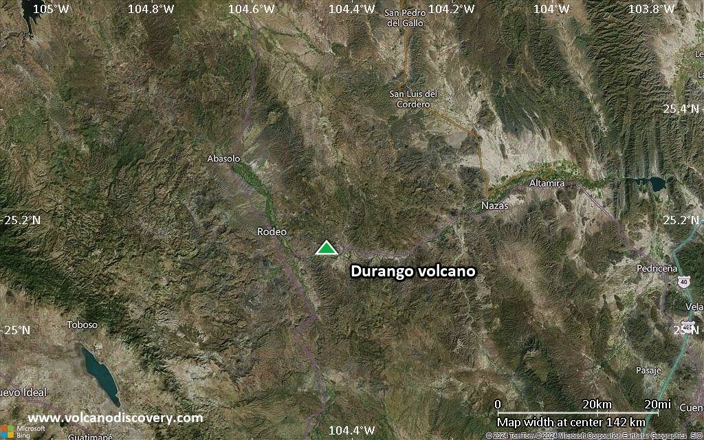
Satellite/aerial-type map of Durango volcano (local scale large)
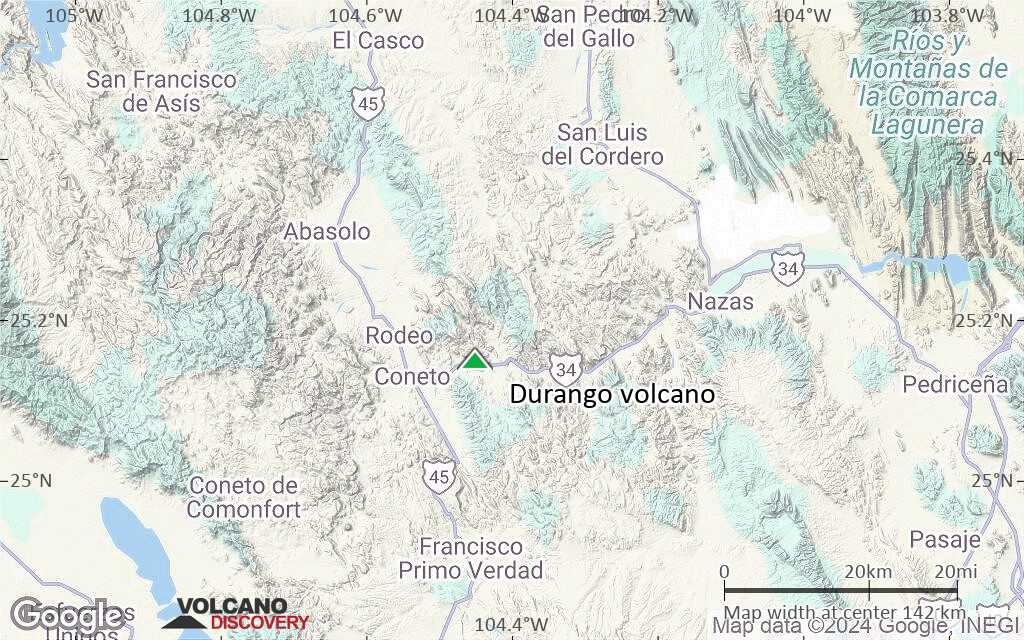
Terrain-type map of Durango volcano (local scale large)
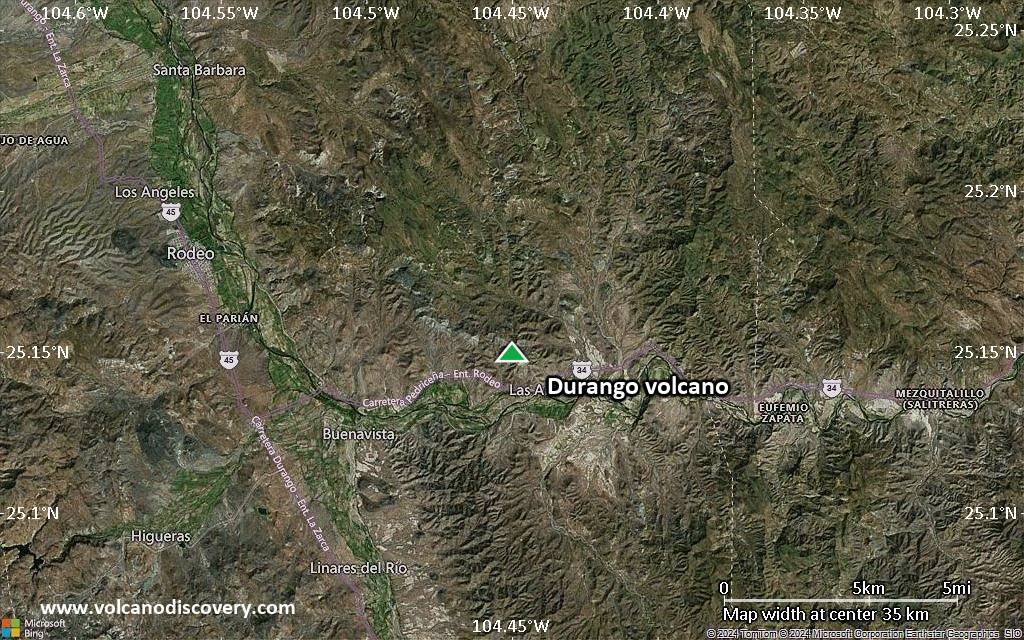
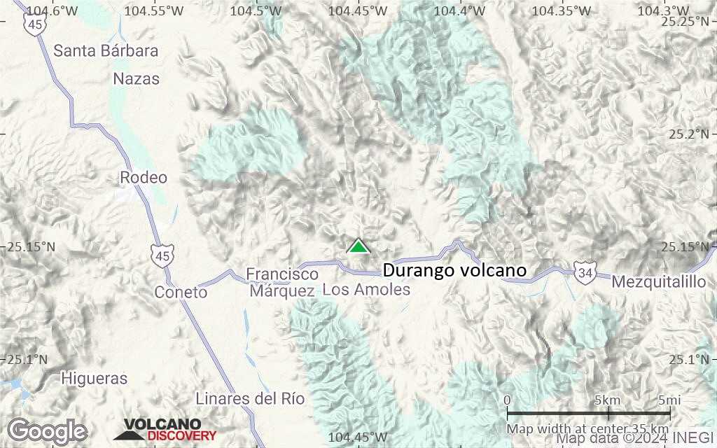
Satellite/aerial-type map of Durango volcano (local scale medium)
Terrain-type map of Durango volcano (local scale medium)
Satellite/aerial-type map of Durango volcano (local scale small)
Terrain-type map of Durango volcano (local scale small)
Satellite/aerial-type map of Durango volcano (scale of 10s of km)
Terrain-type map of Durango volcano (scale of 10s of km)
Satellite/aerial-type map of Durango volcano (scale of 20-40 km)
Terrain-type map of Durango volcano (scale of 20-40 km)
Satellite/aerial-type map of Durango volcano (scale of approx. 10-20 km)
Terrain-type map of Durango volcano (scale of approx. 10-20 km)
Satellite/aerial-type map of Durango volcano (scale of 5-10 km)
Satellite/aerial-type map of Durango volcano (scale of few kilometers)
Volcanoes & Earthquakes - new app for Android
Guaranteed tours
1-14 Oct 2025: Desert, salt and volcanoes - Danakil desert (Ethiopia)
4-12 Oct 2025: From Stromboli to Etna - Sicily and Eolian Islands (Italy)
6-21 Oct 2025: From Krakatau to Bali - Java (Indonesia)
3-19 Nov 2025: Volcanoes and Spices - Sulawesi/Halmahera (Indonesia)
9-19 Nov 2025: Guatemala Volcano Special - Guatemala
= spaces available   = guaranteed   = few spaces left   = booked out

No news in this list.

On this page:

Try our free app!
Volcanoes & Earthquakes - new app for Android
Android | iOS version

More on VolcanoDiscovery

Why is there advertising on this site?

Support Us – Help Us Enhance Our Services!

We’re passionate about delivering the latest volcano and earthquake data from around the globe — just for you. However, maintaining our website and free apps requires significant time, effort, and resources.
Your support helps us expand our hardware and software capabilities and empowers our dedicated editorial team. Our mission is to provide uninterrupted, real-time updates whenever an earthquake strikes or a volcano erupts — and your donations make this possible. Every contribution, big or small, is deeply appreciated. If you find our information valuable and want to help us add new features, create compelling content, and improve our technology, please consider making a donation:

Donate with Card or Apple/Google Pay:

Send €5 payment link to support VolcanoDiscovery with 5 EUR
€10 payment link to support VolcanoDiscovery with 10 EUR
€25 payment link to support VolcanoDiscovery with 25 EUR
€50 payment link to support VolcanoDiscovery with 50 EUR
€100 payment link to support VolcanoDiscovery with 100 EUR
€250 payment link to support VolcanoDiscovery with 250 EUR

Donate with PayPal:

Planned Features:

Thanks to your past donations, we have recently added:
Download the Volcanoes & Earthquakes app to stay among the first to receive the fastest seismic and volcano alerts online:
Android | iOS
Thank you for being part of our mission!
Sources: VolcanoDiscovery / VolcanoAdventures and other sources as noted.
Use of material: Most text and images on our websites are owned by us. Re-use is generally not permitted without authorization. Contact us for licensing rights.
Volcanoes & Earthquakes
VolcanoDiscovery Home
Volcanoes | Earthquakes | Photos | Volcano News | | Shop | App
Adventure & Study Travel
Tours to Volcanoes and Volcanic Areas: walking tours, photo tours, study tours
Tours & Dates | FAQ | About us
Get our newsletter!
Company info
Contact | Legal info | Terms & conditions
Follow us
Follow us on facebook Follow us on Instagram Follow us on Bluesky Follow us on Twitter Visit our Youtube channel
EN | DE | EL | ES | FR | IT | RU
VolcanoDiscovery GmbH, Germany, Reg. nr.: HRB 103744, EU Tax Id: DE 297 465 123 owned and created by
Dr. Tom Pfeiffer, volcanologist, volcano photographer, tour organizer member of
IAVCEI
IAVCEI
Vulkanologische Gesellschaft
Volcanological Society
Ecotourism Greece
Ecotourism Greece
RUV insurance
Insured by R+V
VolcanoDiscovery © 2004- All Rights Reserved | Privacy - Cookie Settings