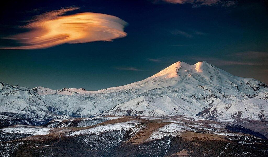
Elbrus Volcano
Updated: Jul 22, 2025 12:43 GMT -
stratovolcano
Russia, 43.33°N / 42.45°E 
Summit height: 5633 m / 18,481 ft
Current status: normal or dormant (1 out of 5)
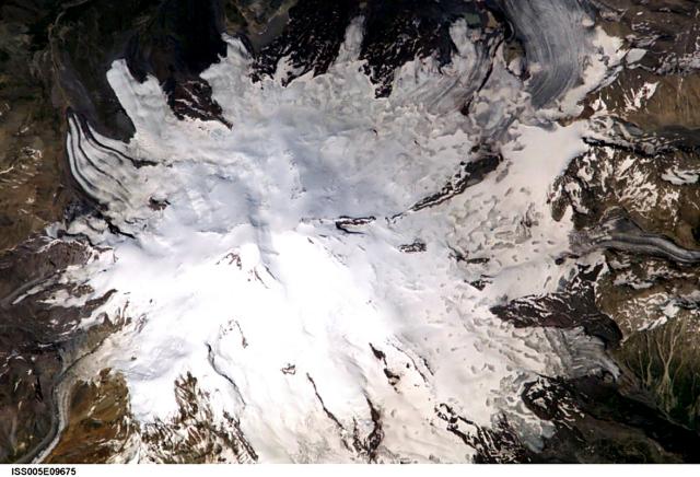
Glaciers radiate from Mount Elbrus, the highest peak of the Caucasus Mountains of SW Russia. Snow-filled craters are visible in this image at both the 5595-m-high eastern summit and the 5633-m-high western summit. Image courtesy of Earth Sciences and Image Analysis Laboratory, NASA Johnson Space Center, 2002
Elbrus volcano is a large stratovolcano in the western Caucasus of SW Russia. It is the highest mountain of Europe (although some argue that it belongs already to Asia) and the highest volcano of the northern hemisphere.
Elbrus has not erupted for about 2000 years, but is considered an active volcano. There is weak solfataric activity near the summit and hot springs are present on the volcano's flanks.
[smaller] [larger]
Elbrus volcano eruptions: 50 AD ± 50 years
Latest nearby earthquakes
| Date and Time | Mag / Depth | Distance / Location | |||
|---|---|---|---|---|---|
Background
Elbrus volcano has 2 summits: the 5595-m-high eastern summit has a 250-m-wide, well-preserved crater and is separated by a low saddle from the 5633-m-high western summit.The surface of the 18 km diameter volcano cover 260 sq km. The longest mapped lava flows have traveled 24 km down the NNE flank. The most recent lava flows were erupted about 2000 years ago (tephronchronology dating).
Elbrus is a prominent destination for climbers.
Significant volcanic eruptions: Elbrus volcano
No historic eruptions are known from Elbrus volcano, but at least one eruption around 50 AD can be inferred from geological evidence.
The table below lists all known eruptions (date in bold face) of Elbrus volcano in historic times and during the past 10,000 years. Updates on the most recent volcanic activity of Elbrus can be found on the news page of Elbrus volcano.
| Date | Note | VEI | Deaths | Damage | |
|---|---|---|---|---|---|
| ? | |||||
Remark:
Our list of volcanic eruptions closely follows the database of eruptions of the Smithsonian's Global Volcanism Project (GVP), the internationally most recognized data source for volcanic eruptions, but also includes significant eruptive episodes or related volcano events. "Volcanic eruptions" are usually to be understood as sequences of individual eruptive episodes that can follow each other, or even overlap (if several vents are involved), and can last many years, decades or even longer. For example, the current activity of Stromboli volcano is understood as a single eruption that has been ongoing since 1934.
Sources: NOAA National Centers for Environmental Information (NCEI), Global Significant Volcanic Eruptions Database. doi:10.7289/V5TD9V7K | Global Volcanism Project / Smithsonian Institution
Elbrus Volcano FAQ
+When was the last eruption of Elbrus volcano?
The last confirmed eruption of Elbrus occurred around 50 AD.
Latest satellite images
Elbrus Volcano Maps
Below is a selection of maps showing the location and surroundings of the volcano at various resolutions based on aerial-imagery / terrain maps. Feel free to use them for non-commercial purposes on your blog or website as long as you credit them with a link back to this page (click to copy it).
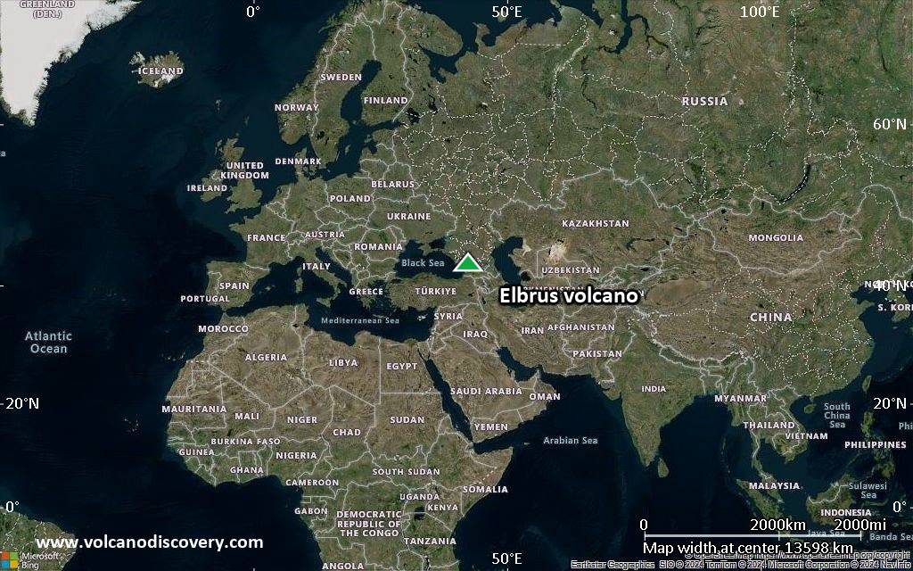
Satellite/aerial-type map of Elbrus volcano (world scale)
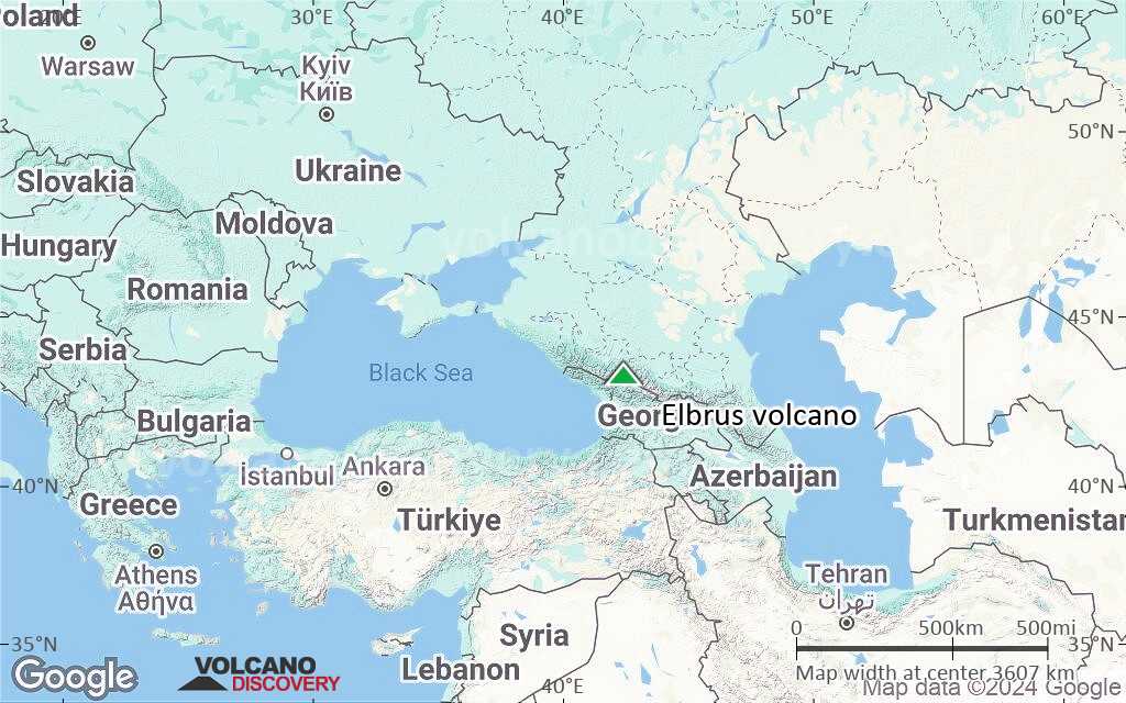
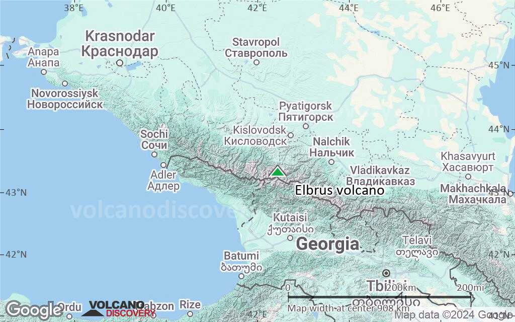
Terrain-type map of Elbrus volcano (world scale)
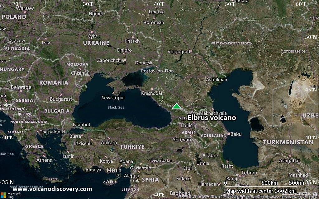
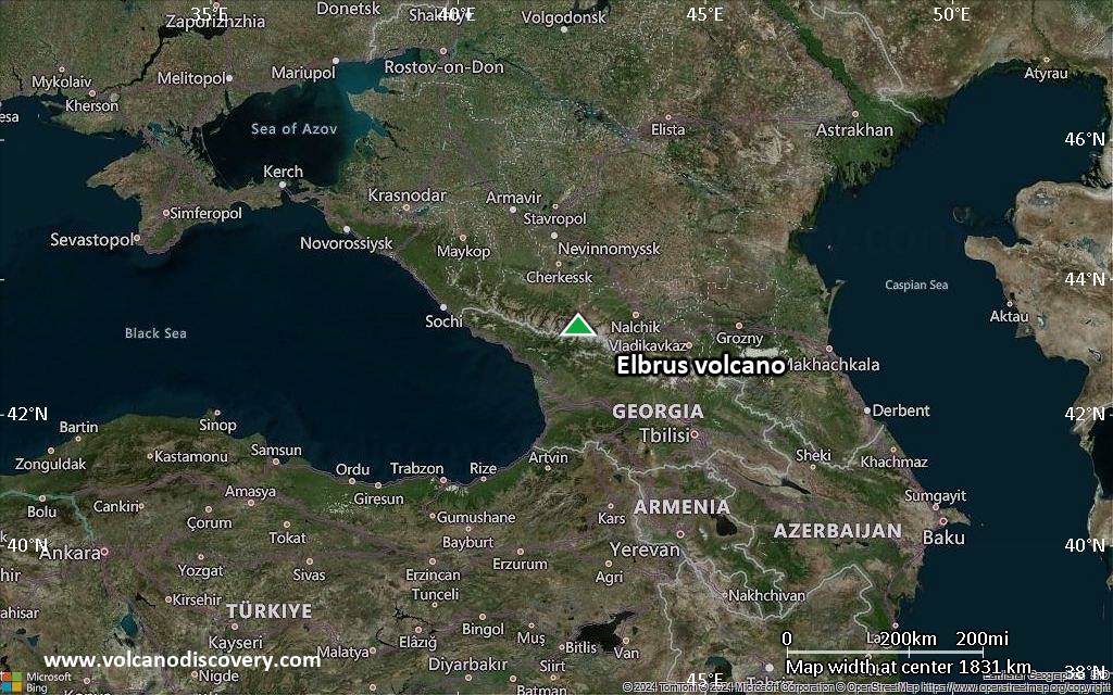
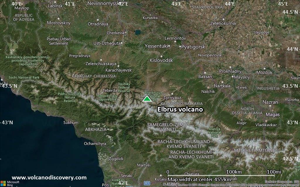
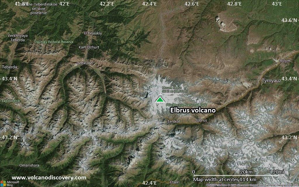
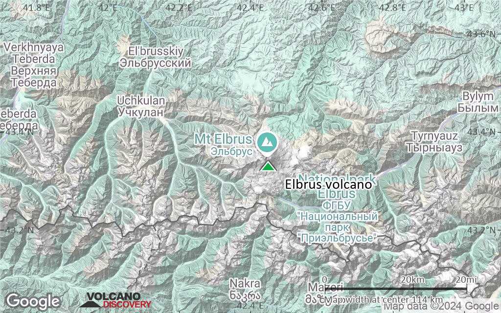
Satellite/aerial-type map of Elbrus volcano (region scale large)
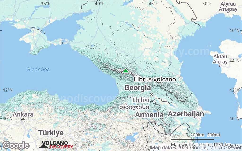
Terrain-type map of Elbrus volcano (region scale large)
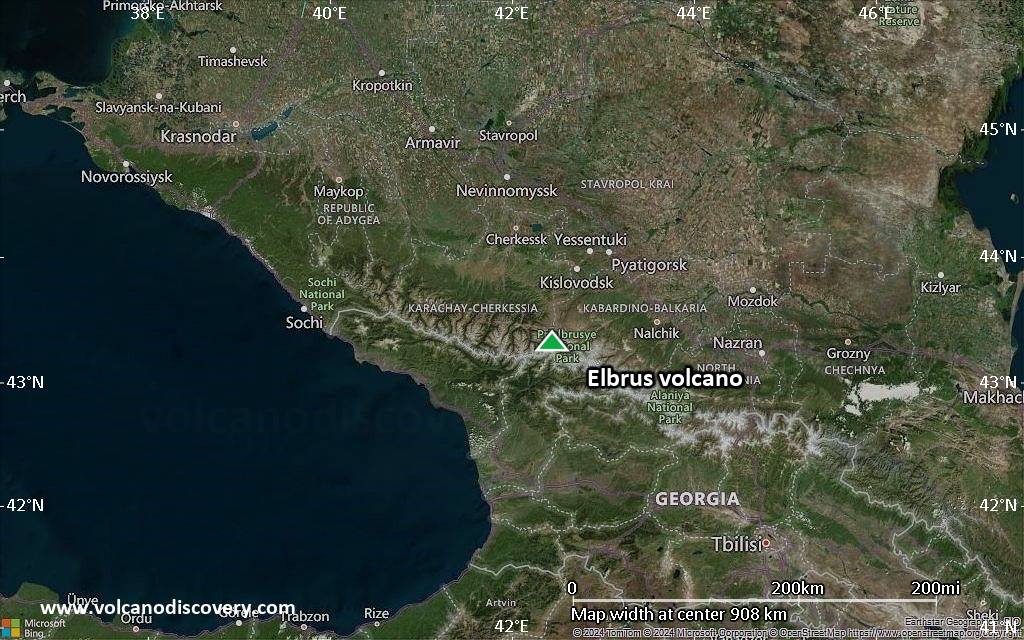
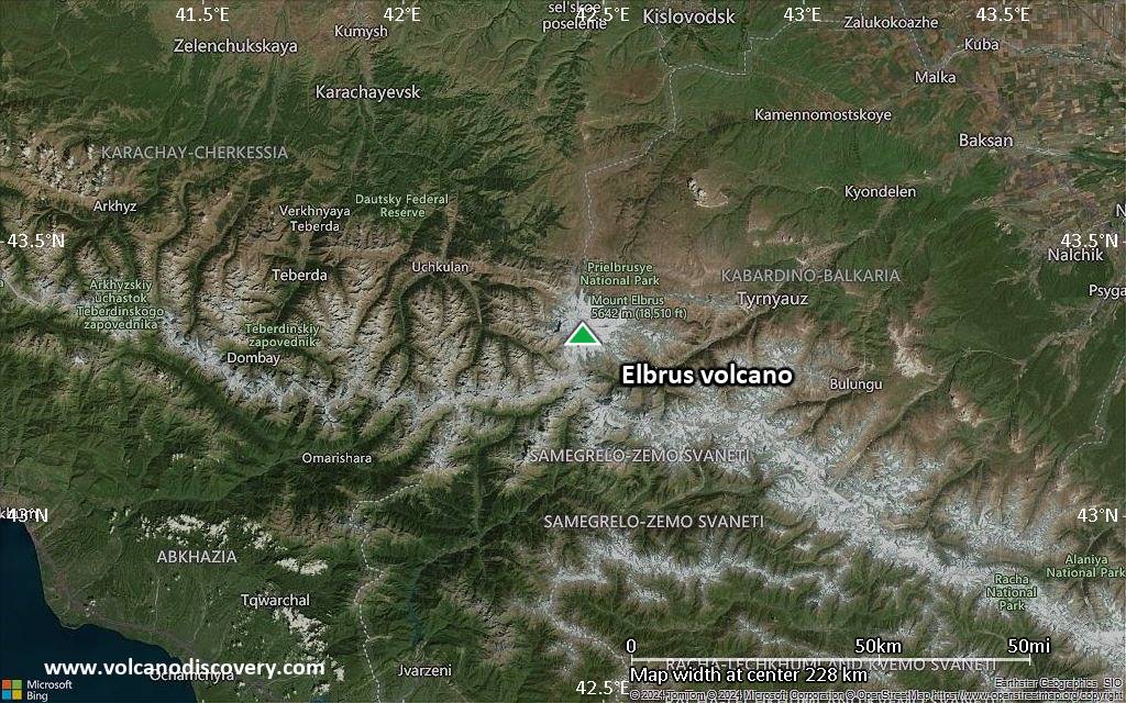
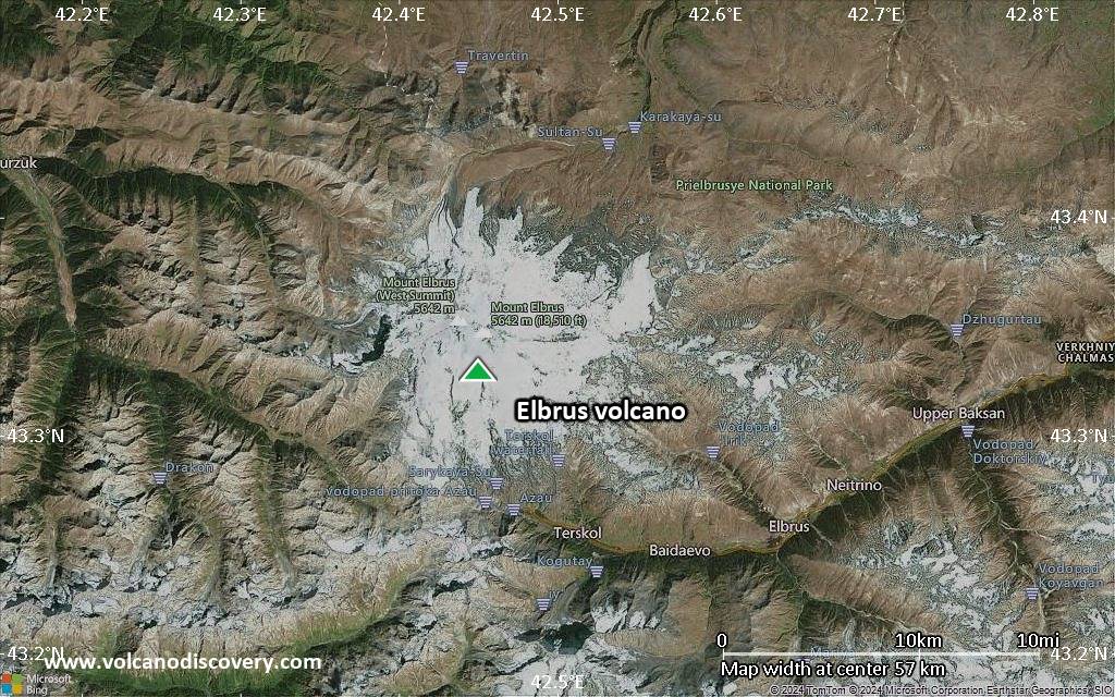
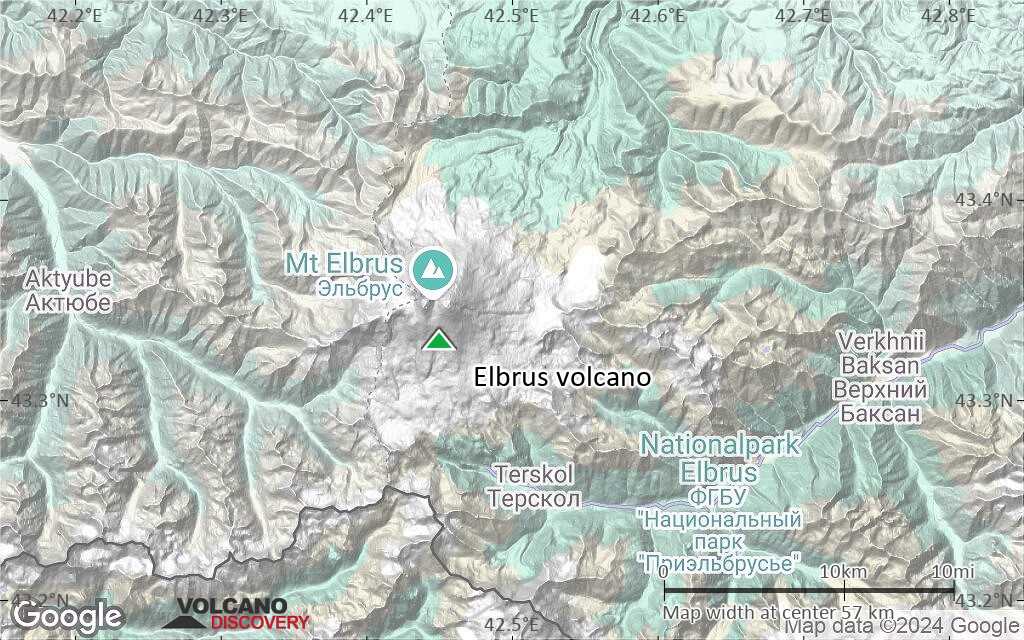
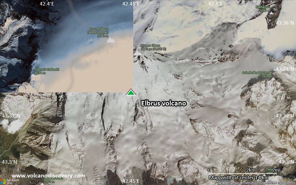
Satellite/aerial-type map of Elbrus volcano (region scale medium)
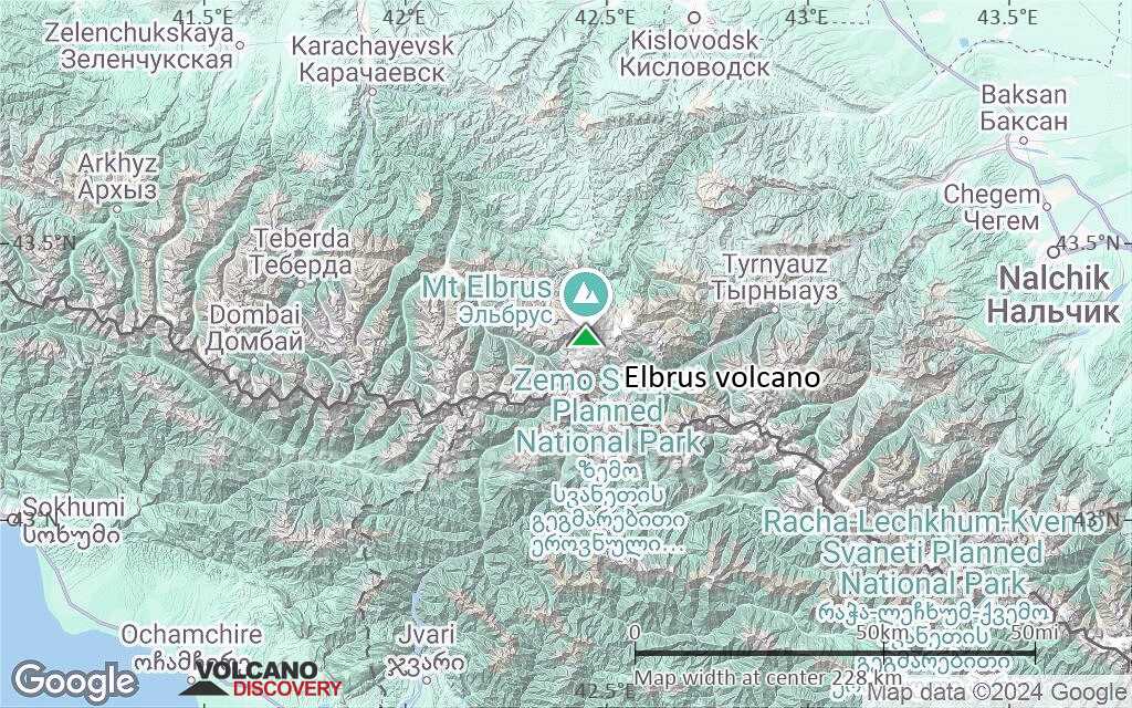
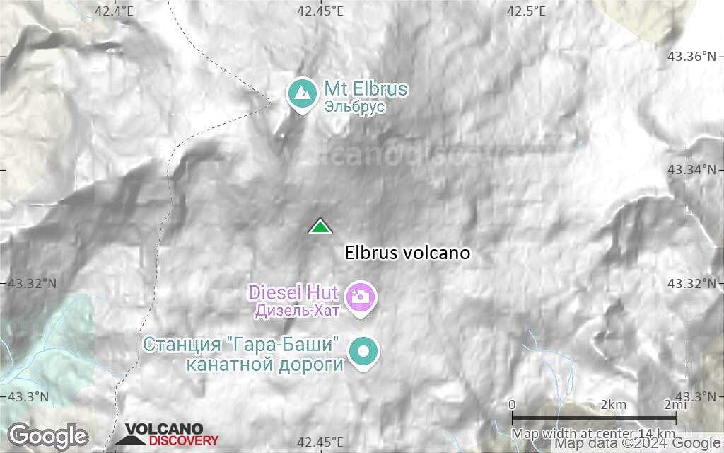
Terrain-type map of Elbrus volcano (region scale medium)
Satellite/aerial-type map of Elbrus volcano (region scale small)
Terrain-type map of Elbrus volcano (region scale small)
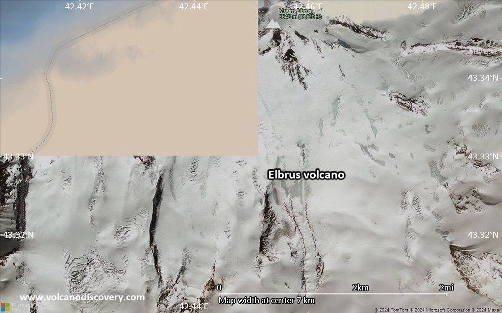
Satellite/aerial-type map of Elbrus volcano (local scale large)

Terrain-type map of Elbrus volcano (local scale large)
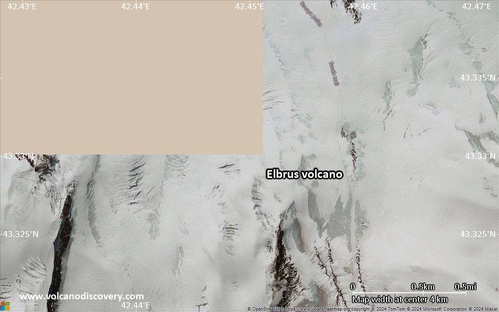
Satellite/aerial-type map of Elbrus volcano (local scale medium)
Terrain-type map of Elbrus volcano (local scale medium)
Satellite/aerial-type map of Elbrus volcano (local scale small)
Terrain-type map of Elbrus volcano (local scale small)
Satellite/aerial-type map of Elbrus volcano (scale of 10s of km)
Terrain-type map of Elbrus volcano (scale of 10s of km)

Satellite/aerial-type map of Elbrus volcano (scale of 20-40 km)

Terrain-type map of Elbrus volcano (scale of 20-40 km)
Satellite/aerial-type map of Elbrus volcano (scale of approx. 10-20 km)
Terrain-type map of Elbrus volcano (scale of approx. 10-20 km)
Satellite/aerial-type map of Elbrus volcano (scale of 5-10 km)
Satellite/aerial-type map of Elbrus volcano (scale of few kilometers)