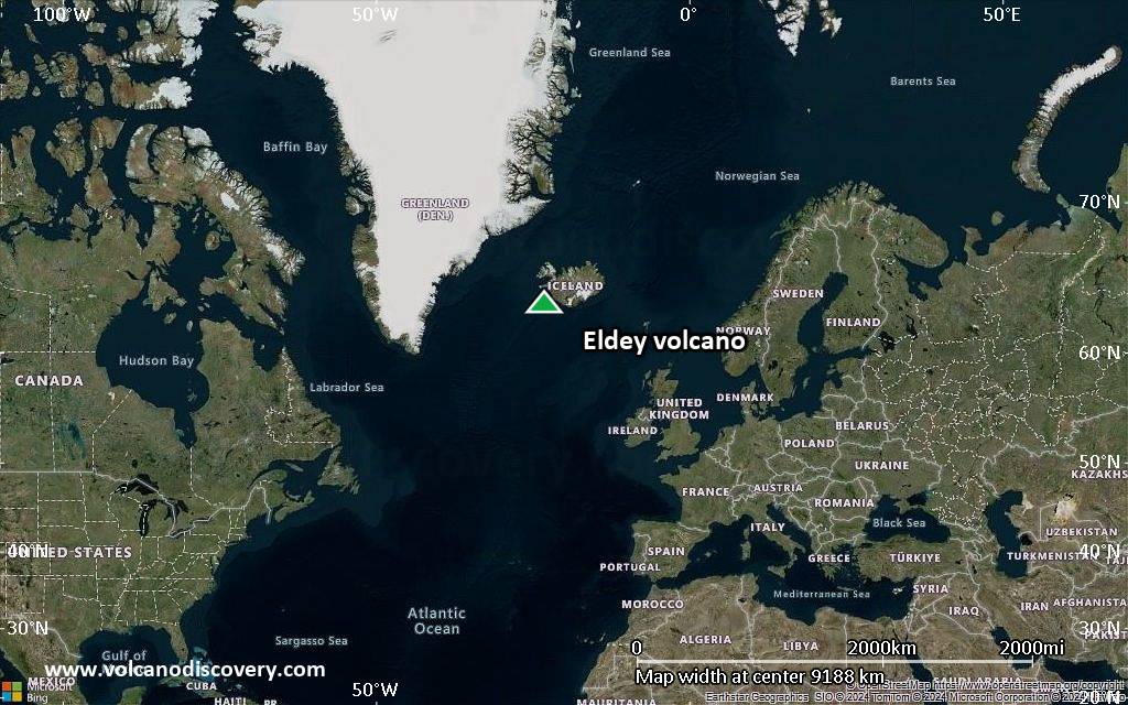
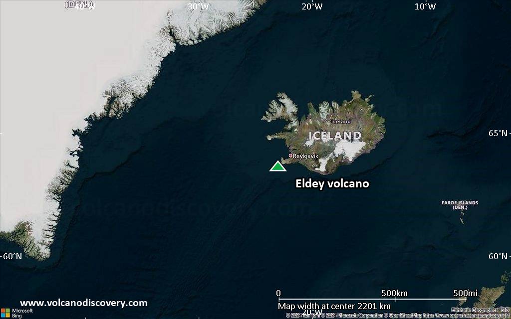
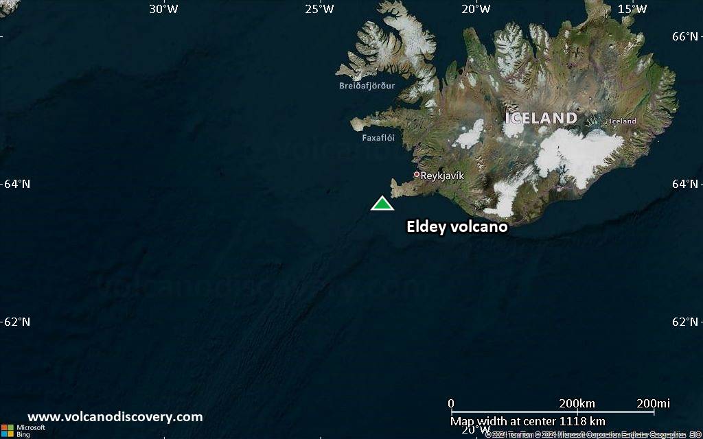
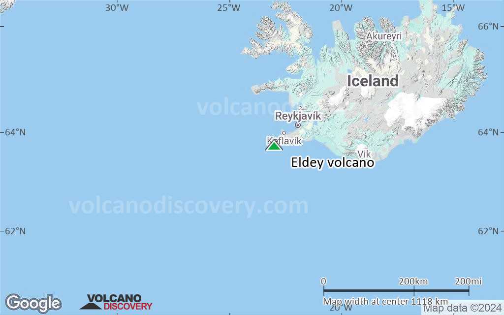
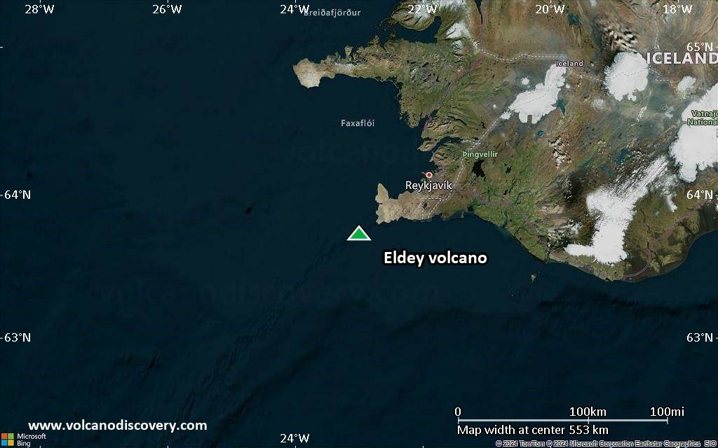
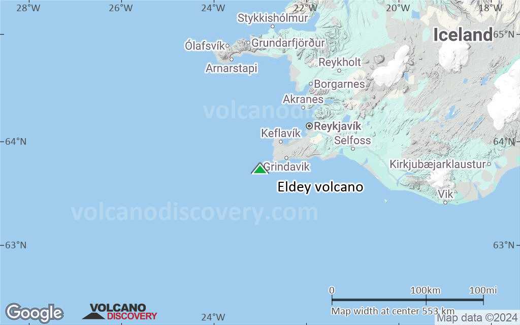
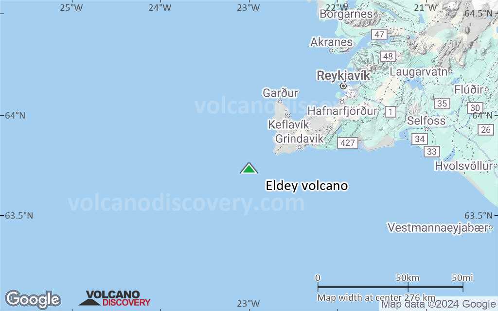
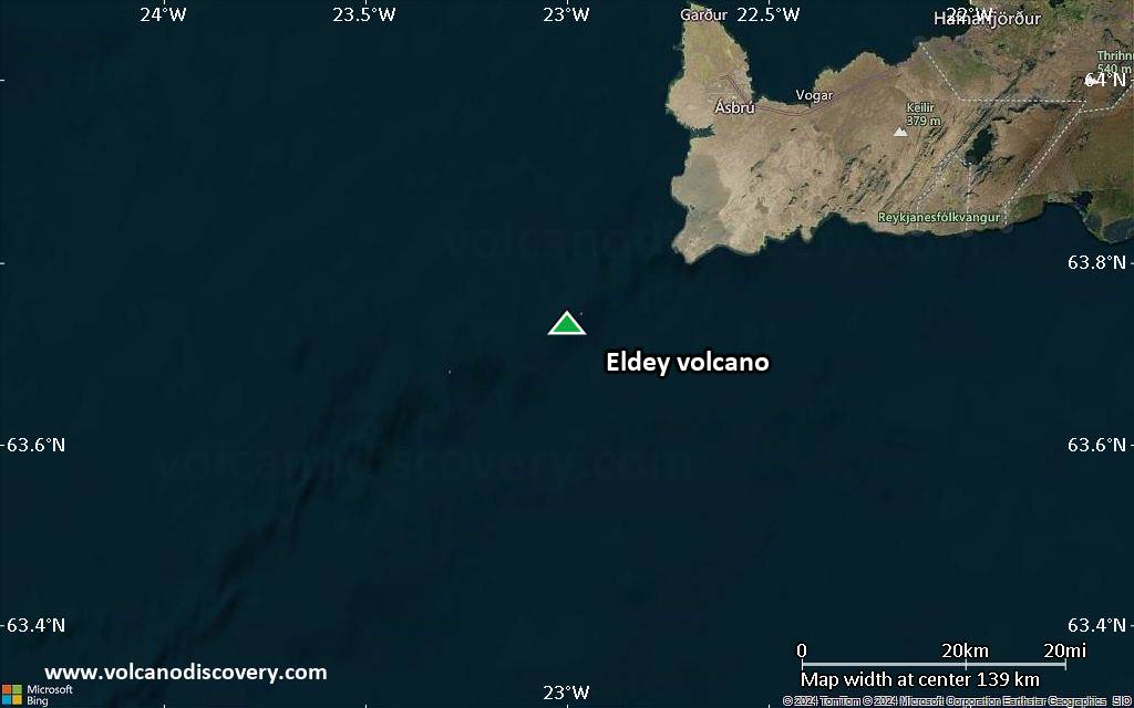
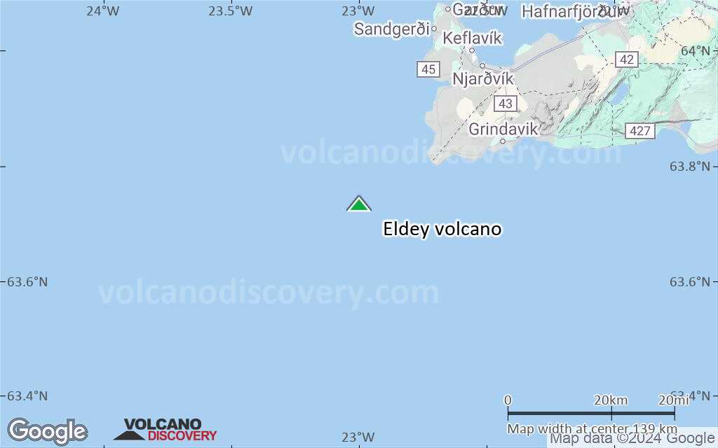
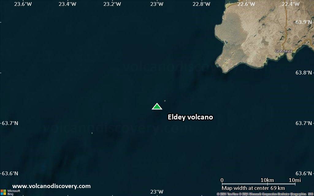
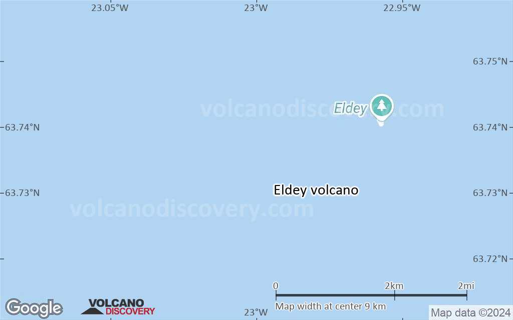
| RSS | EN | DE | EL | ES | FR | IT | RU

Eldey Volcano

Updated: May 25, 2025 09:08 GMT -
submarine volcano
Reykjanes Ridge, Iceland, 63.73°N / -23°W
Summit height: 70 m / 230 ft
Current status: normal or dormant (1 out of 5)
Last update: 12 Oct 2023 (Smithsonian / USGS Weekly Volcanic Activity Report)

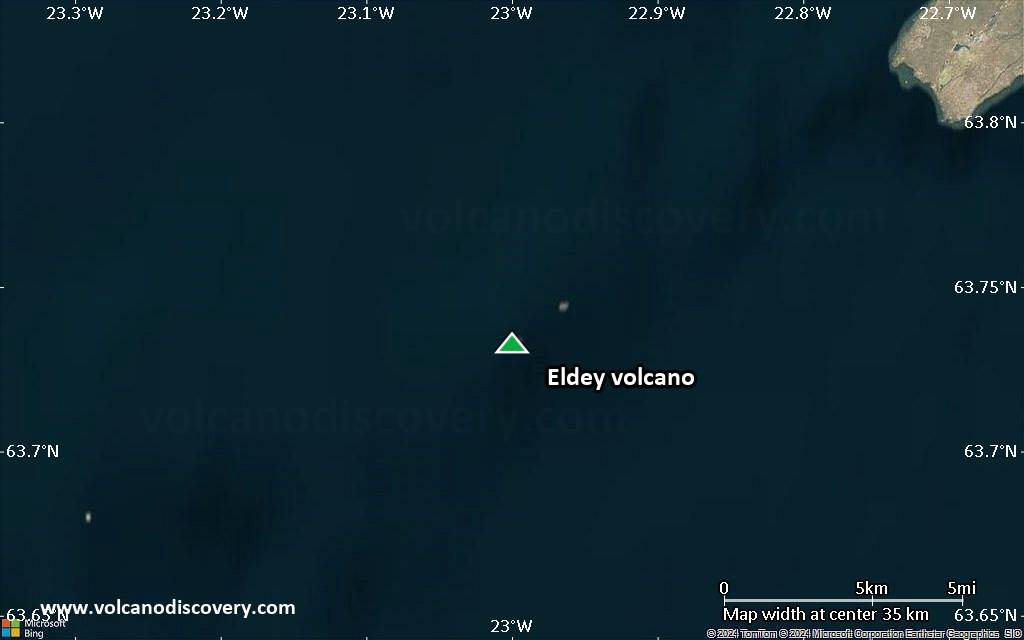
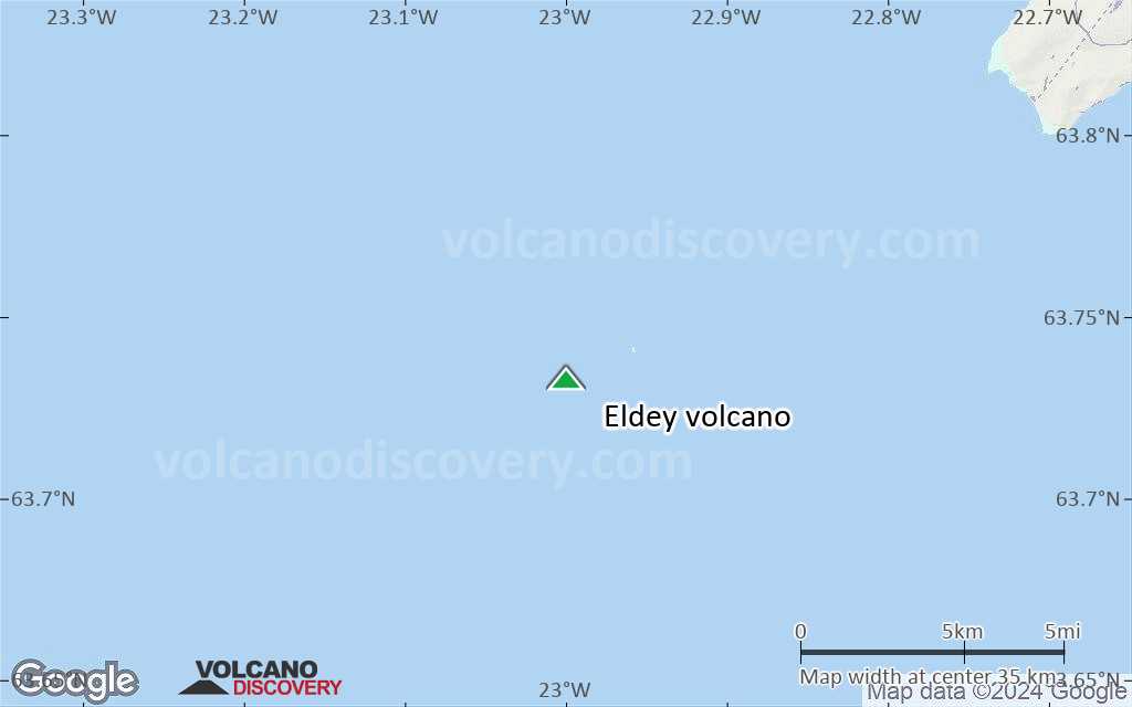
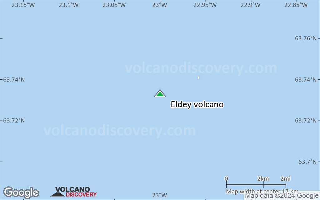
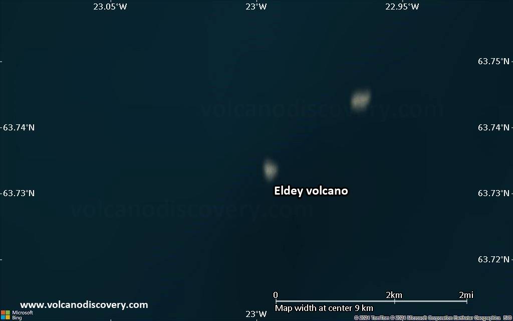
The Eldey volcanic system is located on the northernmost part of the Reykjanes Ridge and is submarine with the exception of Eldey Island and the skerries (small rocky islands) Eldeyjardrangur, Geirfugladrangur, and Geirfuglasker.
Maximum water depth within the system is about 250 m. Eldey has been moderately active in Holocene time. Characteristic activity consists of explosive submarine basaltic eruptions. Six small eruptions have been located within this system during the last 1,100 years, the last occurring in 1926 CE.

[smaller] [larger]
Typical eruption style: effusive
Eldey volcano eruptions: 1926, 1884(?), 1879, 1422, 1340, 1211

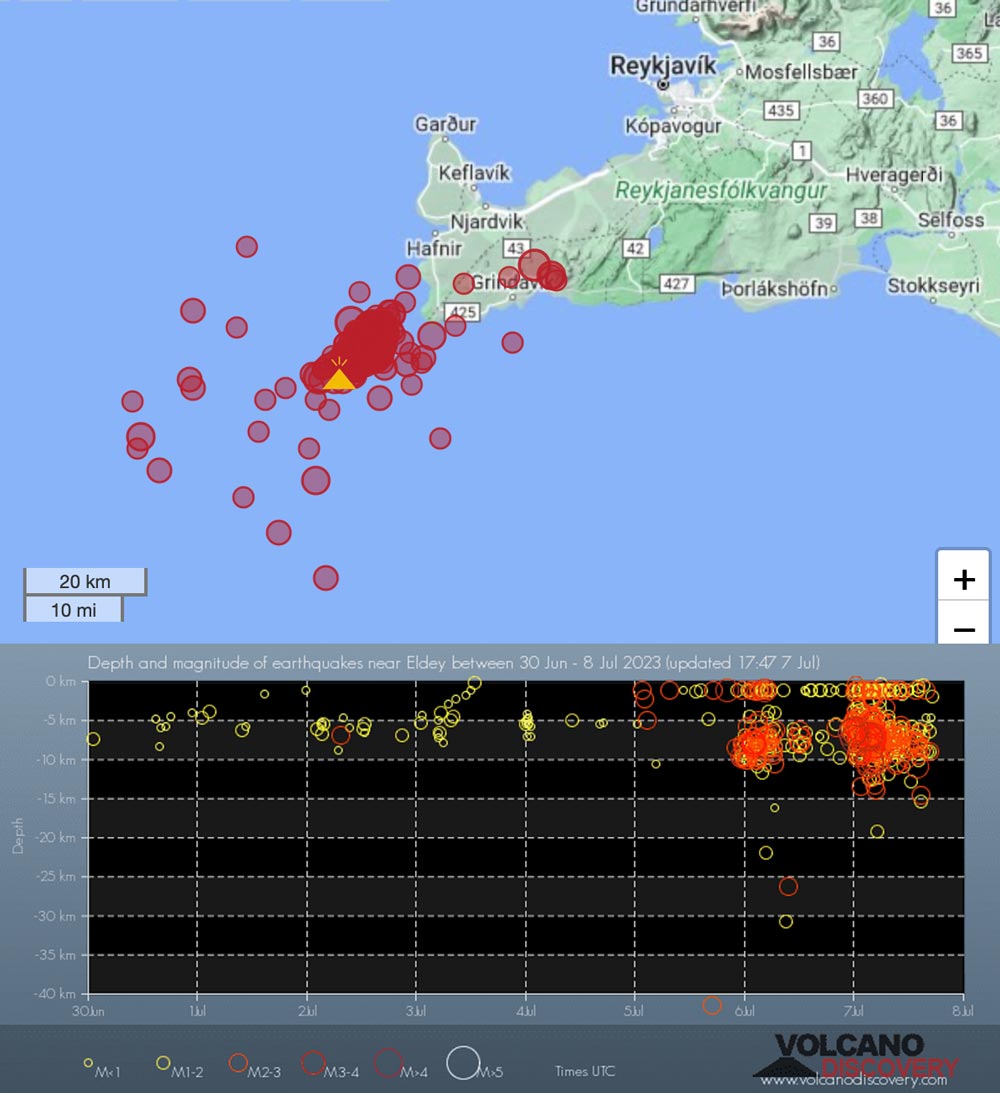
Latest nearby earthquakes

Date and TimeMag / DepthDistance / Location
May 25, 08:50 am (Reykjavik)
1.9

17 km
6.4 km (4 mi) to the W Iceland: 4.9 km NE of Geirfuglasker Info
May 25, 08:35 am (Reykjavik)
1.0

5.2 km
12 km (7.4 mi) to the NW Iceland: 10.0 km N of Geirfuglasker Info
May 25, 08:34 am (Reykjavik)
1.9

10.5 km
15 km (9.1 mi) to the W Iceland: 4.6 km N of Geirfugladrangur Info
May 25, 08:29 am (Reykjavik)
0.8

1.1 km
15 km (9.2 mi) to the W Iceland: 9.8 km NNW of Geirfuglasker Info
May 25, 08:27 am (Reykjavik)
1.4

19 km
13 km (8.1 mi) to the W Iceland: 4.2 km NW of Geirfuglasker Info
May 25, 08:25 am (Reykjavik)
1.1

3.4 km
16 km (9.8 mi) to the W Iceland: 7.3 km NNW of Geirfugladrangur Info
May 25, 08:18 am (Reykjavik)
2.1

10.8 km
15 km (9.3 mi) to the W Iceland: 5.2 km N of Geirfugladrangur Info
Saturday, May 24, 2025 GMT (6 quakes)
May 24, 03:49 pm (Reykjavik)
4.1

12 km
11 km (6.9 mi) to the W Greenland Sea, 80 km southwest of Reykjavik, Capital Region, IcelandI FELT IT Info
May 24, 03:45 pm (Reykjavik)
4.3

9.3 km
8.7 km (5.4 mi) to the W Iceland Region  I FELT IT - 2 reportsInfo

Significant volcanic eruptions: Eldey volcano

In the past 10,000 years, Eldey has had at least 5 confirmed eruptions, all documented by historical records or observations. There is one uncertain or discredited eruption in 1884 from Eldey volcano.
The table below lists all known eruptions (date in bold face) of Eldey volcano in historic times and during the past 10,000 years. Updates on the most recent volcanic activity of Eldey can be found on the news page of Eldey volcano.
DateNoteVEIDeathsDamage
1926 Jun 5 ±4 d.Reykjaneshryggur (NE of Eldey)
Historical obs./docs.
?
?? 1884 Jul 26
Uncertain Eruption
2?
1879 May 30 ? - Jun 15 ±5 d.Reykjaneshryggur (Geirfugladrangur)
Historical obs./docs.
1
1422 ADReykjaneshryggur (Geirfuglasker-Eldey area)
Historical obs./docs.
2
1340 ? ADReykjaneshryggur
Historical obs./docs.
3
1211 AD Aug 31 ±30 d.Reykjaneshryggur
Historical obs./docs.
4?
Remark:
Our list of volcanic eruptions closely follows the database of eruptions of the Smithsonian's Global Volcanism Project (GVP), the internationally most recognized data source for volcanic eruptions, but also includes significant eruptive episodes or related volcano events. "Volcanic eruptions" are usually to be understood as sequences of individual eruptive episodes that can follow each other, or even overlap (if several vents are involved), and can last many years, decades or even longer. For example, the current activity of Stromboli volcano is understood as a single eruption that has been ongoing since 1934.
Sources: NOAA National Centers for Environmental Information (NCEI), Global Significant Volcanic Eruptions Database. doi:10.7289/V5TD9V7K | Global Volcanism Project / Smithsonian Institution

Eldey Volcano FAQ

+When was the last eruption of Eldey volcano?

+How often does Eldey volcano erupt?

+How active is Eldey volcano at present?

+When was the largest eruption of Eldey volcano?

Latest satellite images

Eldey satellite image sat1Eldey satellite image sat2

Eldey Volcano Maps

Below is a selection of maps showing the location and surroundings of the volcano at various resolutions based on aerial-imagery / terrain maps. Feel free to use them for non-commercial purposes on your blog or website as long as you credit them with a link back to this page (click to copy it).
Satellite/aerial-type map of Eldey volcano (world scale)
Terrain-type map of Eldey volcano (world scale)
Satellite/aerial-type map of Eldey volcano (region scale large)
Terrain-type map of Eldey volcano (region scale large)
Satellite/aerial-type map of Eldey volcano (region scale medium)
Terrain-type map of Eldey volcano (region scale medium)
Satellite/aerial-type map of Eldey volcano (region scale small)
Terrain-type map of Eldey volcano (region scale small)
Satellite/aerial-type map of Eldey volcano (local scale large)
Terrain-type map of Eldey volcano (local scale large)
Satellite/aerial-type map of Eldey volcano (local scale medium)
Terrain-type map of Eldey volcano (local scale medium)
Satellite/aerial-type map of Eldey volcano (local scale small)
Terrain-type map of Eldey volcano (local scale small)
Satellite/aerial-type map of Eldey volcano (scale of 10s of km)
Terrain-type map of Eldey volcano (scale of 10s of km)
Satellite/aerial-type map of Eldey volcano (scale of 20-40 km)
Terrain-type map of Eldey volcano (scale of 20-40 km)
Satellite/aerial-type map of Eldey volcano (scale of approx. 10-20 km)
Terrain-type map of Eldey volcano (scale of approx. 10-20 km)
Satellite/aerial-type map of Eldey volcano (scale of 5-10 km)
Satellite/aerial-type map of Eldey volcano (scale of few kilometers)
Volcanoes & Earthquakes - new app for Android
Guaranteed tours
9-25 Jun 2025: Volcanoes and Spices - Sulawesi/Halmahera (Indonesia)
7-22 Jul 2025: From Krakatau to Bali - Java (Indonesia)
7-23 Jul 2025: Volcanoes and Spices - Sulawesi/Halmahera (Indonesia)
1-17 Aug 2025: Volcanoes and Spices - Sulawesi/Halmahera (Indonesia)
1-14 Oct 2025: Desert, salt and volcanoes - Danakil desert (Ethiopia)
4-12 Oct 2025: From Stromboli to Etna - Sicily and Eolian Islands (Italy)
6-21 Oct 2025: From Krakatau to Bali - Java (Indonesia)
3-19 Nov 2025: Volcanoes and Spices - Sulawesi/Halmahera (Indonesia)
= spaces available   = guaranteed   = few spaces left   = booked out
Wed, 12 Jul 2023, 14:00

Eldey volcano (Reykjanes Peninsula) - Smithsonian / USGS Weekly Volcanic Activity Report for 5 July-11 July 2023 (New Activity / Unrest)

Icelandic Meteorological Office (IMO) reported that at 2330 on 6 July earthquake activity increased in an area close to Eldey and by 1500 on 7 July the seismic network had detected over 480 events. The earthquakes were located at depths of around 8 km, with several of the events over M 3 and six over M 4; the largest event was a M 4.5 recorded at 0506 on 7 July. Activity that strong had not previously been detected in conjunction with seismic swarms related to magma intrusions in Fagradalsfjall. ... Read all
Fri, 7 Jul 2023, 18:05

Second earthquake swarm at Iceland's southwestern tip triggers alert for Eldey volcano

Recent eartquakes near Eldey volcano, Iceland
In addition to the ongoing crisis near Fagradalsfjall volcano, a second seismic swarm has started in southwestern island, near the active volcanic system of Eldey island also on the Reykjanes ridge. ... Read all

On this page:

Try our free app!
Volcanoes & Earthquakes - new app for Android
Android | iOS version

More on VolcanoDiscovery

Why is there advertising on this site?

Support us - Help us upgrade our services!

We truly love working to bring you the latest volcano and earthquake data from around the world. Maintaining our website and our free apps does require, however, considerable time and resources.
We need financing to increase hard- and software capacity as well as support our editor team. We're aiming to achieve uninterrupted service wherever an earthquake or volcano eruption unfolds, and your donations can make it happen! Every donation will be highly appreciated. If you find the information useful and would like to support our team in integrating further features, write great content, and in upgrading our soft- and hardware, please make a donation (PayPal).

Planned features:Thanks to your past donations, these features have been added recently:
Download and Upgrade the Volcanoes & Earthquakes app to get one of the fastest seismic and volcano alerts online:
Android | IOS
Thank you!
Sources: VolcanoDiscovery / VolcanoAdventures and other sources as noted.
Use of material: Most text and images on our websites are owned by us. Re-use is generally not permitted without authorization. Contact us for licensing rights.
Volcanoes & Earthquakes
VolcanoDiscovery Home
Volcanoes | Earthquakes | Photos | Volcano News | | Shop | App
Adventure & Study Travel
Tours to Volcanoes and Volcanic Areas: walking tours, photo tours, study tours
Tours & Dates | FAQ | About us
Get our newsletter!
Company info
Contact | Legal info | Terms & conditions
Follow us
Follow us on facebook Follow us on Instagram Follow us on Bluesky Follow us on Twitter Visit our Youtube channel
EN | DE | EL | ES | FR | IT | RU
VolcanoDiscovery GmbH, Germany, Reg. nr.: HRB 103744, EU Tax Id: DE 297 465 123 owned and created by
Dr. Tom Pfeiffer, volcanologist, volcano photographer, tour organizer member of
IAVCEI
IAVCEI
Vulkanologische Gesellschaft
Volcanological Society
Ecotourism Greece
Ecotourism Greece
RUV insurance
Insured by R+V
VolcanoDiscovery © 2004- All Rights Reserved | Privacy - Cookie Settings