Gagak Volcano
Updated: May 21, 2025 13:33 GMT -
stratovolcano
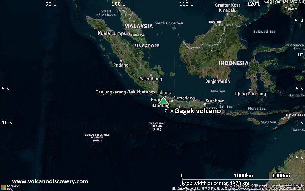
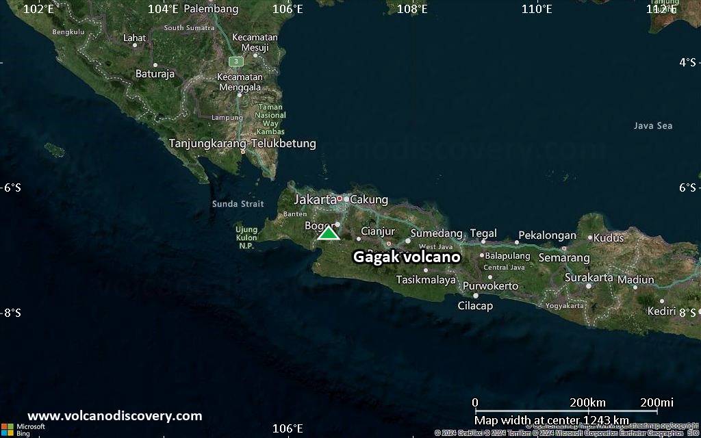
West Java, Indonesia, -6.73°S / 106.65°E 
Summit height: 1511 m / 4,957 ft
Current status: normal or dormant (1 out of 5)
Gagak belongs to the Perbakti-Gagak or Kiaraberes-Gagak volcanic complex near Bogor, immediately SW of Salak volcano.
The 3 volcanoes of the group are, from S to N, Gunung Endut (1474 m), Gunung Perbakti (1699 m), and Gunung Gagak (1511 m).
Gunung Gagak lies to the NW of the group and is known for its large pumice and obsidian deposit at the summit, and obsidian lava flows extending to the north and NE.
[smaller] [larger]
Gagak volcano eruptions: 1939, 1938, 1935, 1929, 1923
Latest nearby earthquakes
| Date and Time | Mag / Depth | Distance / Location | |||
|---|---|---|---|---|---|
| May 18, 05:30 pm (GMT +7) | 2.7 10 km | 14 km (8.9 mi) to the N | Info | ||
| May 18, 10:29 am (Universal Time) | 2.5 10 km | 13 km (8.3 mi) to the N | Info | ||
| Saturday, May 10, 2025 GMT (1 quake) | |||||
| May 10, 12:02 pm (GMT +7) | 2.8 10 km | 27 km (17 mi) to the SW | Info | ||
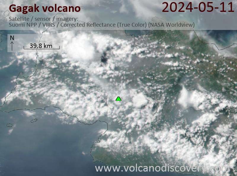
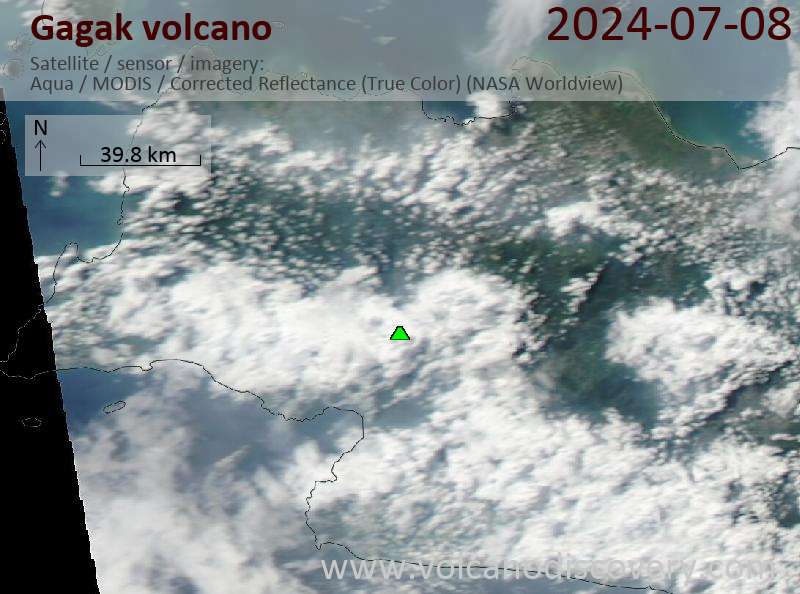
Latest satellite images
Gagak Volcano Maps
Below is a selection of maps showing the location and surroundings of the volcano at various resolutions based on aerial-imagery / terrain maps. Feel free to use them for non-commercial purposes on your blog or website as long as you credit them with a link back to this page (click to copy it).

Satellite/aerial-type map of Gagak volcano (world scale)

Terrain-type map of Gagak volcano (world scale)
Satellite/aerial-type map of Gagak volcano (region scale large)

Terrain-type map of Gagak volcano (region scale large)

Satellite/aerial-type map of Gagak volcano (region scale medium)

Terrain-type map of Gagak volcano (region scale medium)
Satellite/aerial-type map of Gagak volcano (region scale small)

Terrain-type map of Gagak volcano (region scale small)

Satellite/aerial-type map of Gagak volcano (local scale large)

Terrain-type map of Gagak volcano (local scale large)

Satellite/aerial-type map of Gagak volcano (local scale medium)

Terrain-type map of Gagak volcano (local scale medium)

Satellite/aerial-type map of Gagak volcano (local scale small)

Terrain-type map of Gagak volcano (local scale small)

Satellite/aerial-type map of Gagak volcano (scale of 10s of km)

Terrain-type map of Gagak volcano (scale of 10s of km)

Satellite/aerial-type map of Gagak volcano (scale of 20-40 km)

Terrain-type map of Gagak volcano (scale of 20-40 km)

Satellite/aerial-type map of Gagak volcano (scale of approx. 10-20 km)

Terrain-type map of Gagak volcano (scale of approx. 10-20 km)

Satellite/aerial-type map of Gagak volcano (scale of 5-10 km)

Satellite/aerial-type map of Gagak volcano (scale of few kilometers)