


Gertrude Creek Volcano
Updated: Aug 26, 2025 22:38 GMT -
Pyroclastic cone
Alaska Peninsula, United States, 58.03°N / -156.15°W 
Summit height: 437 m / 1434 ft
Current status: (probably) extinct (0 out of 5)
[smaller] [larger]
Gertrude Creek volcano eruptions: None during the past 10,000 years
Less than few million years ago (Pleistocene)
Latest nearby earthquakes
| Date and Time | Mag / Depth | Distance / Location | |||
|---|---|---|---|---|---|
| Aug 25, 03:19 am (Universal Time) | 0.5 117 km | 27 km (17 mi) to the E | Info | ||
| Friday, August 22, 2025 GMT (1 quake) | |||||
| Aug 22, 08:49 pm (Universal Time) | 0.9 20 km | 23 km (14 mi) to the NW | Info | ||
| Tuesday, August 19, 2025 GMT (3 quakes) | |||||
| Aug 19, 07:27 pm (Universal Time) | 0.8 5.8 km | 24 km (15 mi) to the N | Info | ||
| Aug 19, 06:56 pm (Universal Time) | 0.4 10.3 km | 26 km (16 mi) to the N | Info | ||
| Aug 19, 12:01 pm (Universal Time) | 0.8 23 km | 26 km (16 mi) to the NW | Info | ||
| Monday, August 18, 2025 GMT (2 quakes) | |||||
| Aug 18, 05:25 pm (Universal Time) | 1.8 131 km | 25 km (16 mi) to the SW | Info | ||
| Aug 18, 02:44 pm (Universal Time) | 0.1 10.5 km | 26 km (16 mi) to the N | Info | ||
Background
An ice-scoured basaltic scoria cone and associated lava-flow apron lies at Getrude Creek about 5 km NE of Becharof Lake. The cone was constructed near the trace of the Bruin Bay fault and was Argon-Argon dated at about 500,000 years BP (Hildreth et al., 2003).---
Source: Smithsonian / GVP volcano information
Latest satellite images
Gertrude Creek Volcano Maps
Below is a selection of maps showing the location and surroundings of the volcano at various resolutions based on aerial-imagery / terrain maps. Feel free to use them for non-commercial purposes on your blog or website as long as you credit them with a link back to this page (click to copy it).
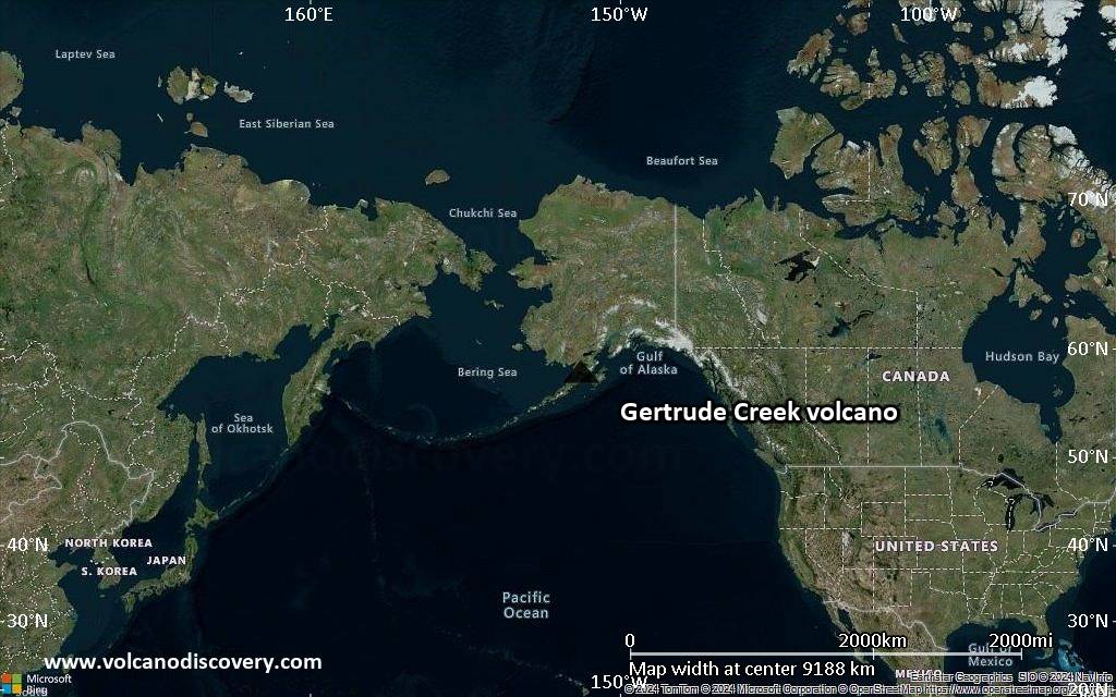
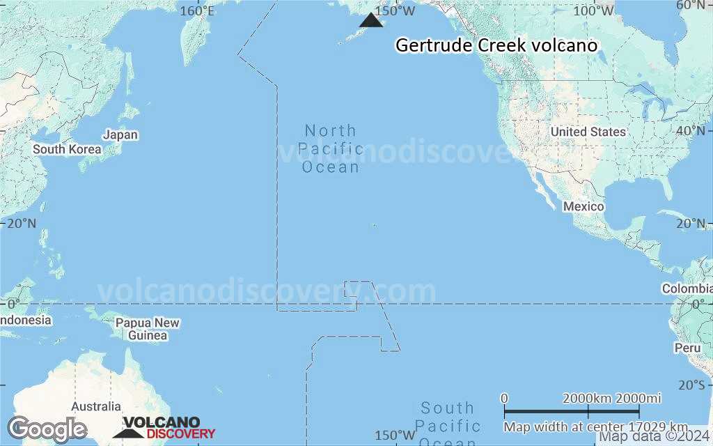
Satellite/aerial-type map of Gertrude Creek volcano (world scale)
Terrain-type map of Gertrude Creek volcano (world scale)
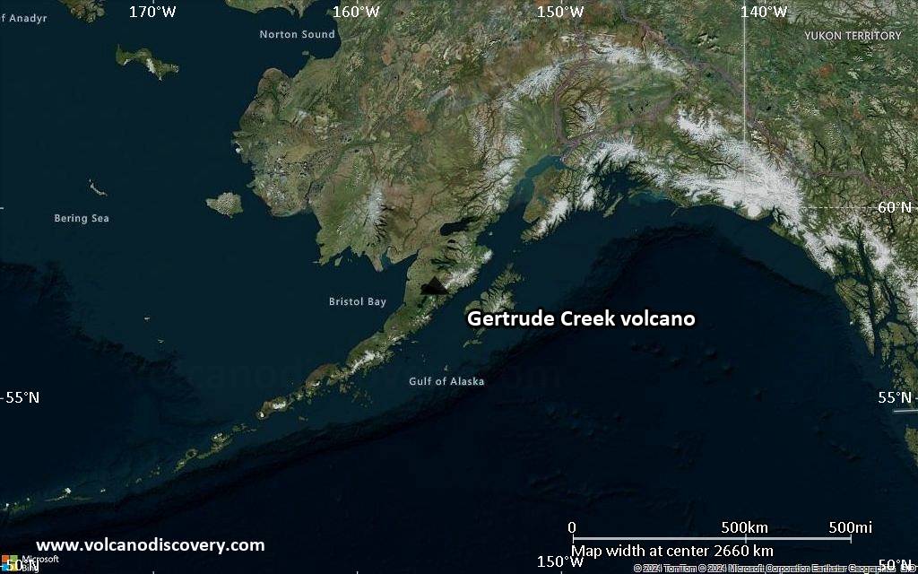
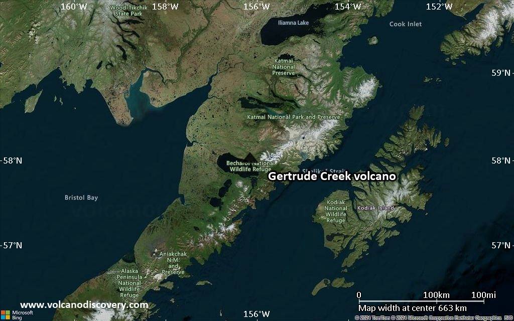
Satellite/aerial-type map of Gertrude Creek volcano (region scale large)
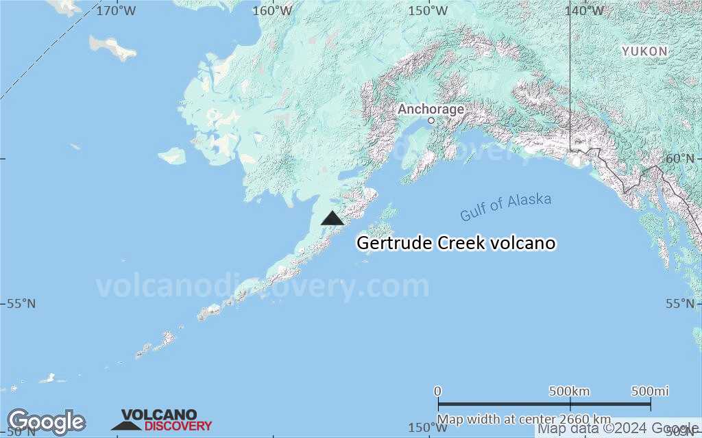
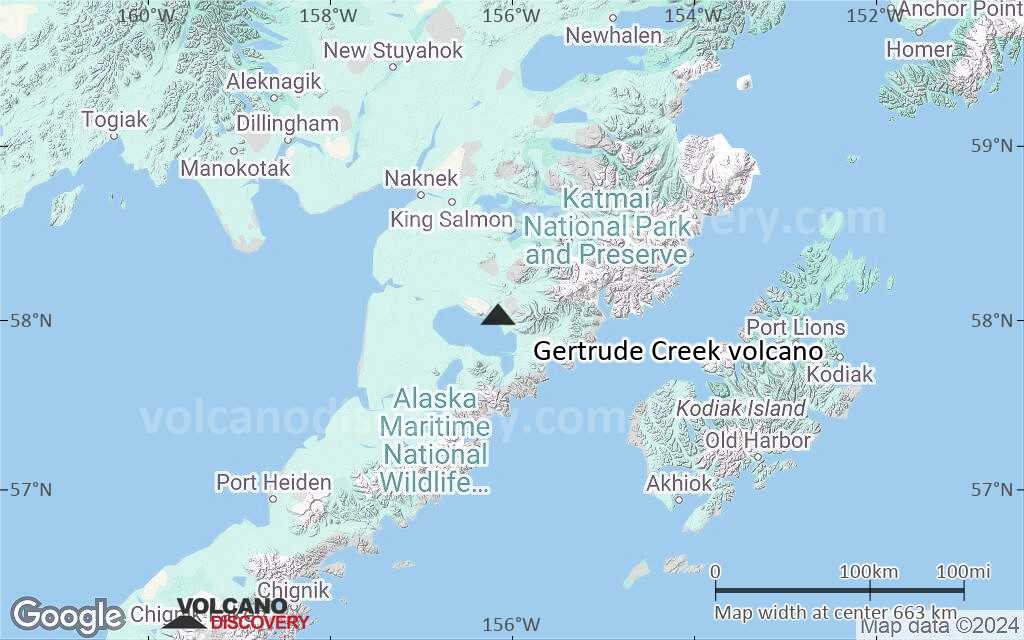
Terrain-type map of Gertrude Creek volcano (region scale large)
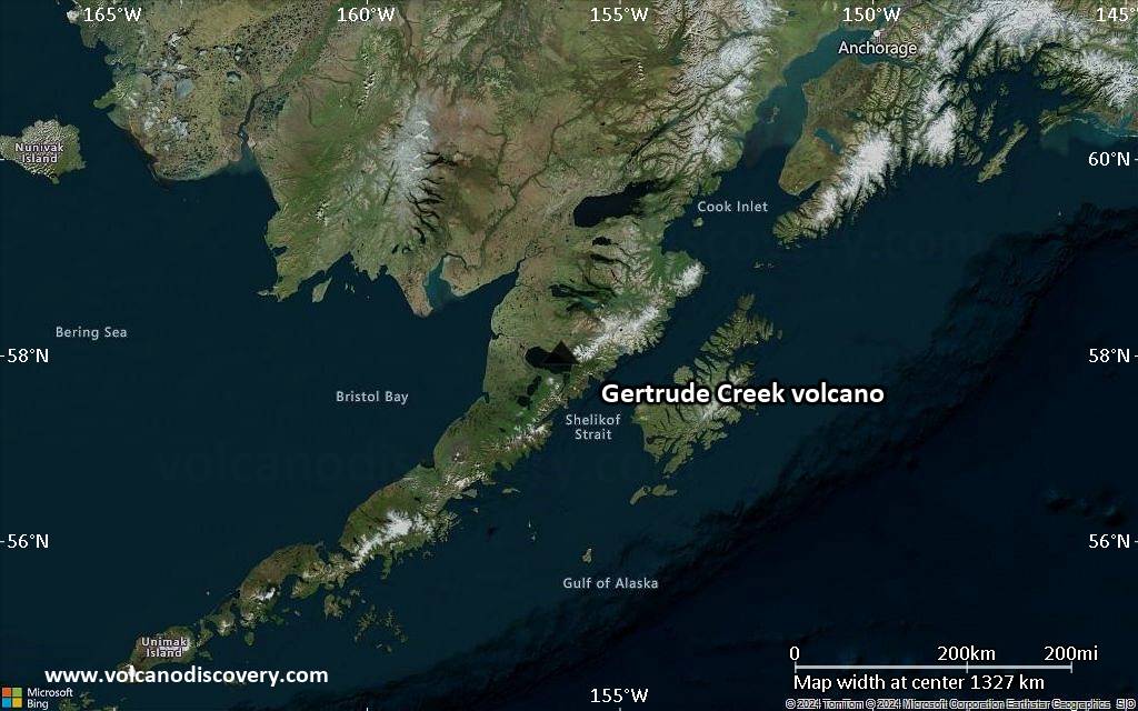
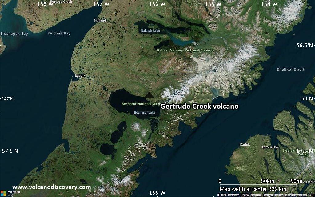
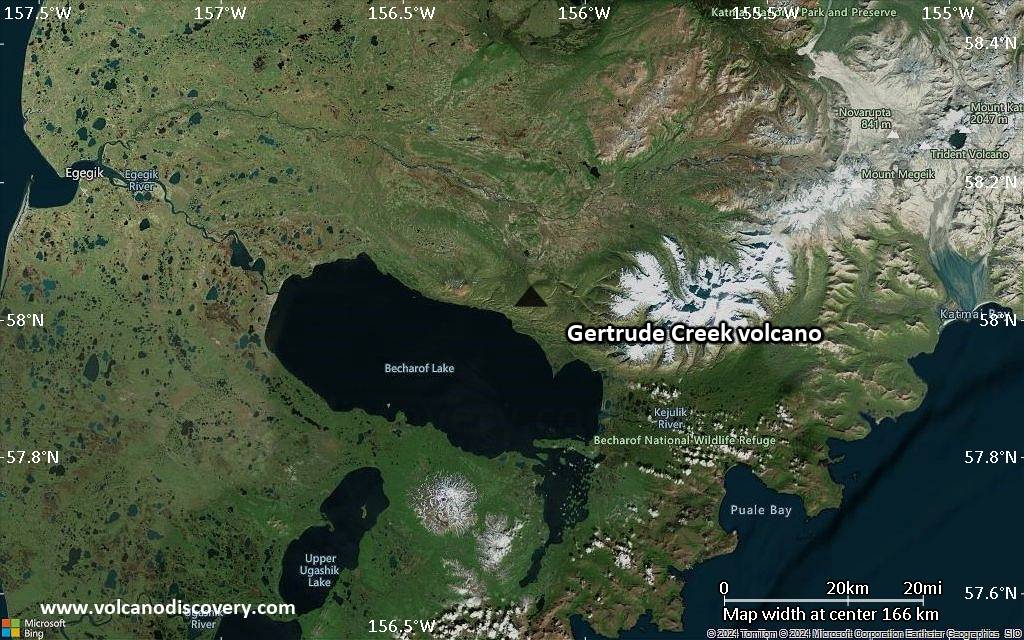
Satellite/aerial-type map of Gertrude Creek volcano (region scale medium)
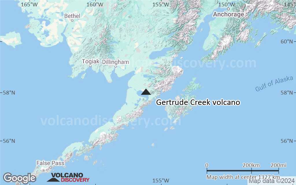
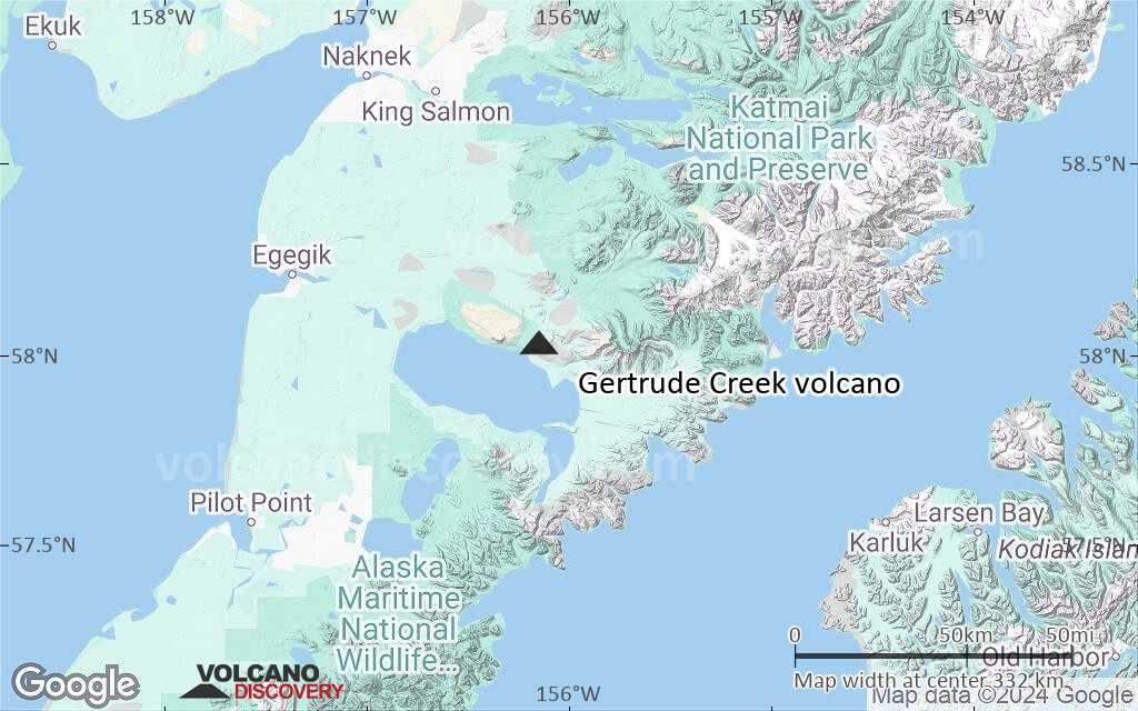
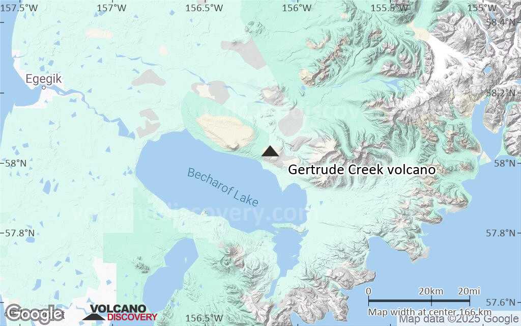
Terrain-type map of Gertrude Creek volcano (region scale medium)
Satellite/aerial-type map of Gertrude Creek volcano (region scale small)
Terrain-type map of Gertrude Creek volcano (region scale small)
Satellite/aerial-type map of Gertrude Creek volcano (local scale large)
Terrain-type map of Gertrude Creek volcano (local scale large)
Satellite/aerial-type map of Gertrude Creek volcano (local scale medium)
Terrain-type map of Gertrude Creek volcano (local scale medium)
Satellite/aerial-type map of Gertrude Creek volcano (local scale small)
Terrain-type map of Gertrude Creek volcano (local scale small)
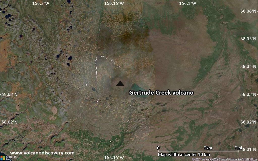
Satellite/aerial-type map of Gertrude Creek volcano (scale of 10s of km)
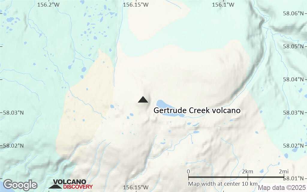
Terrain-type map of Gertrude Creek volcano (scale of 10s of km)
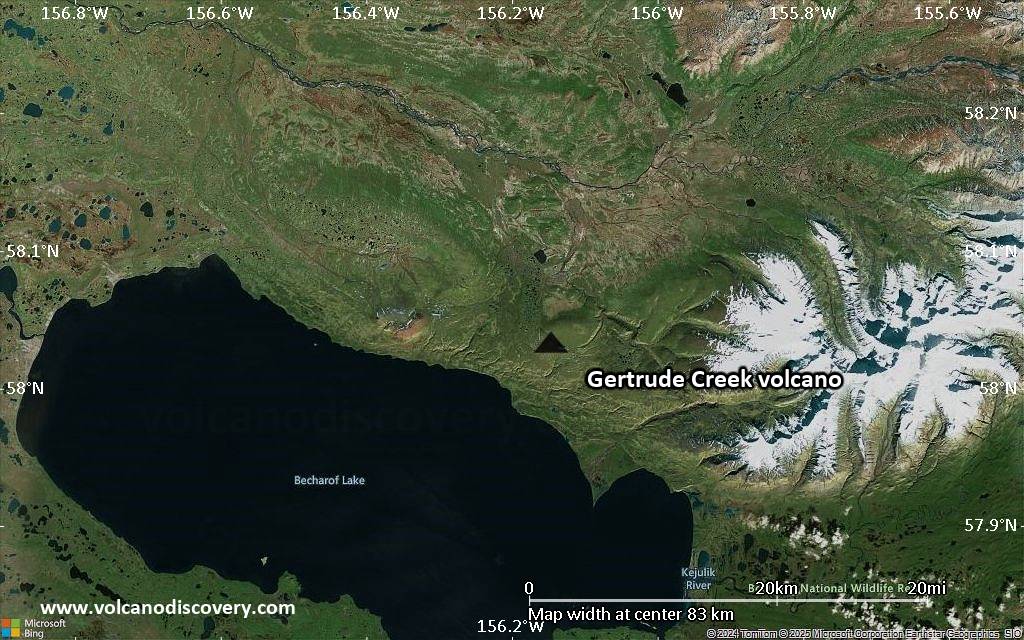
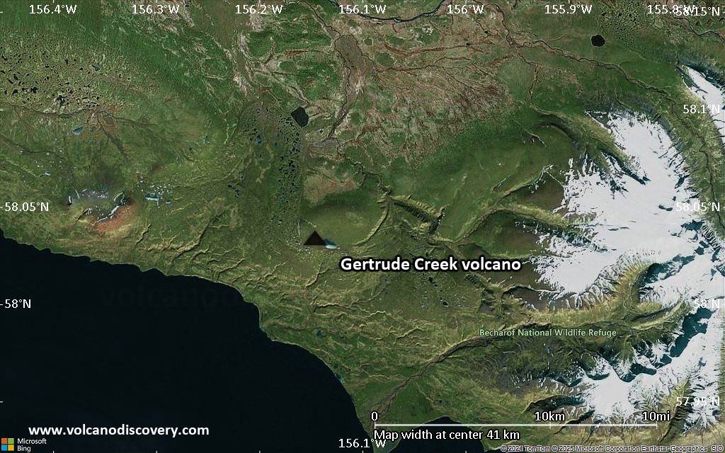
Satellite/aerial-type map of Gertrude Creek volcano (scale of 20-40 km)
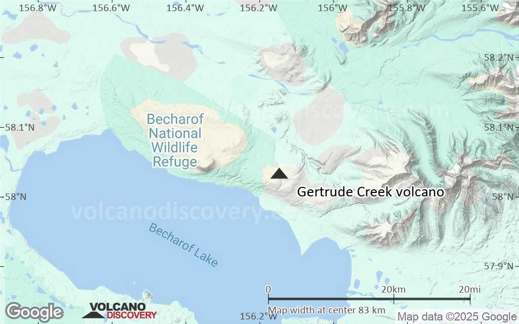
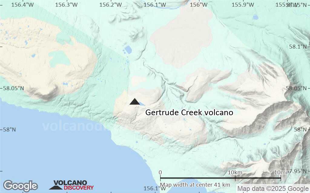
Terrain-type map of Gertrude Creek volcano (scale of 20-40 km)
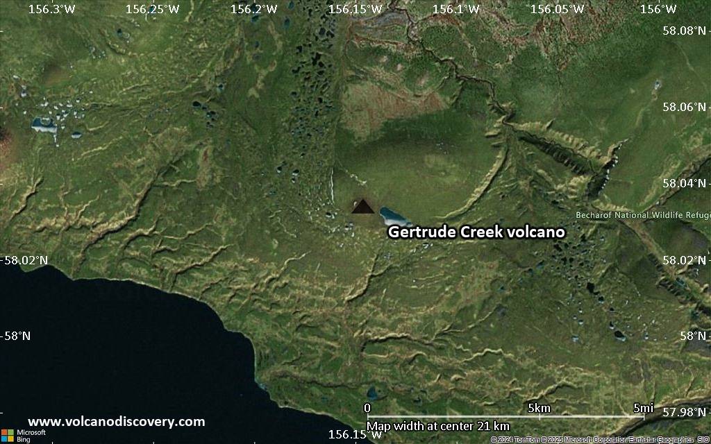
Satellite/aerial-type map of Gertrude Creek volcano (scale of approx. 10-20 km)
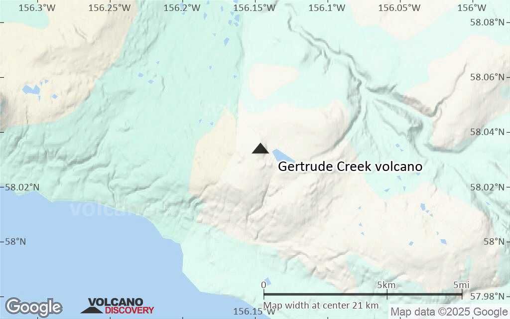
Terrain-type map of Gertrude Creek volcano (scale of approx. 10-20 km)
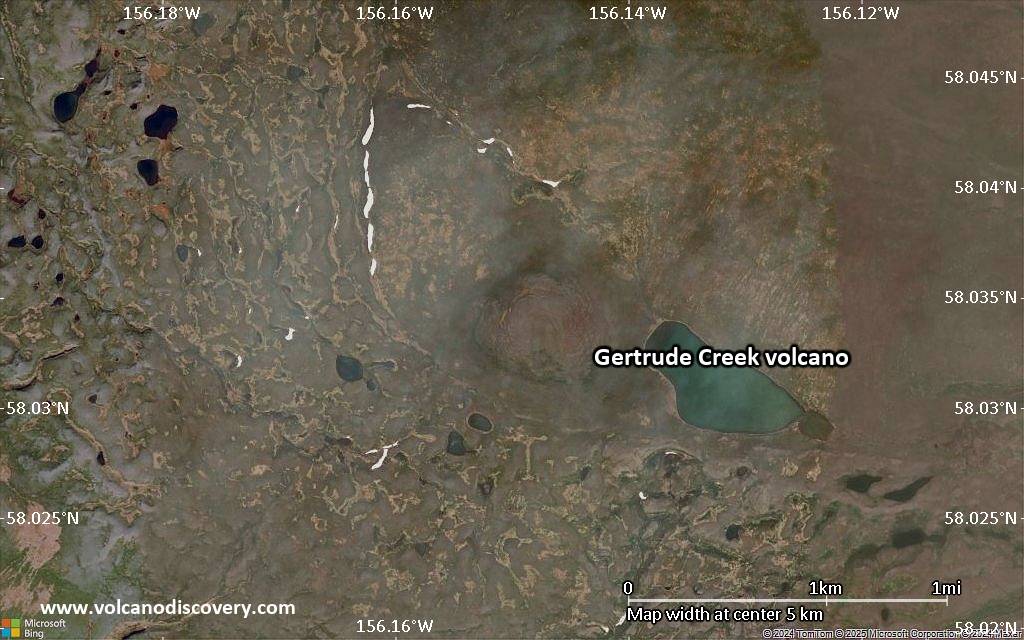
Satellite/aerial-type map of Gertrude Creek volcano (scale of 5-10 km)
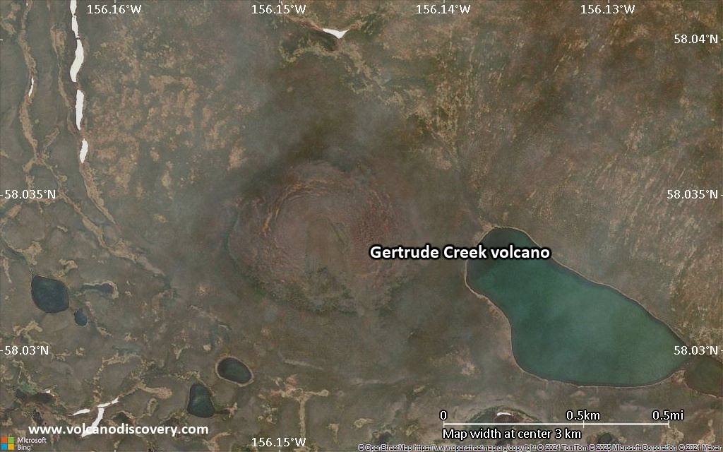
Satellite/aerial-type map of Gertrude Creek volcano (scale of few kilometers)


