Gilbert Volcano
Updated: Jul 5, 2025 15:33 GMT -
Stratovolcano
Aleutian Islands, United States, 54.25°N / -165.65°W 
Summit height: 818 m / 2684 ft
Current status: (probably) extinct (0 out of 5)
[smaller] [larger]
Gilbert volcano eruptions: None during the past 10,000 years
Less than few million years ago (Pleistocene)
Latest nearby earthquakes
| Date and Time | Mag / Depth | Distance / Location | |||
|---|---|---|---|---|---|
Background
Mount Gilbert is deeply eroded and an area of former solfataric activity appears to have been glaciated. Solfataric activity had ceased between 1942 and 1945 (Byers and Barth 1953).---
Source: Smithsonian / GVP volcano information
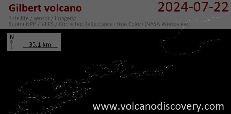
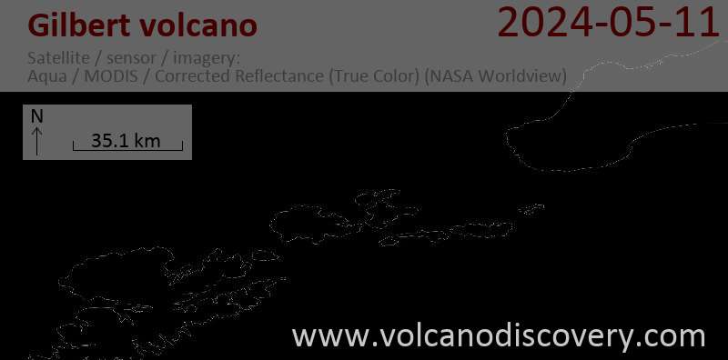
Latest satellite images
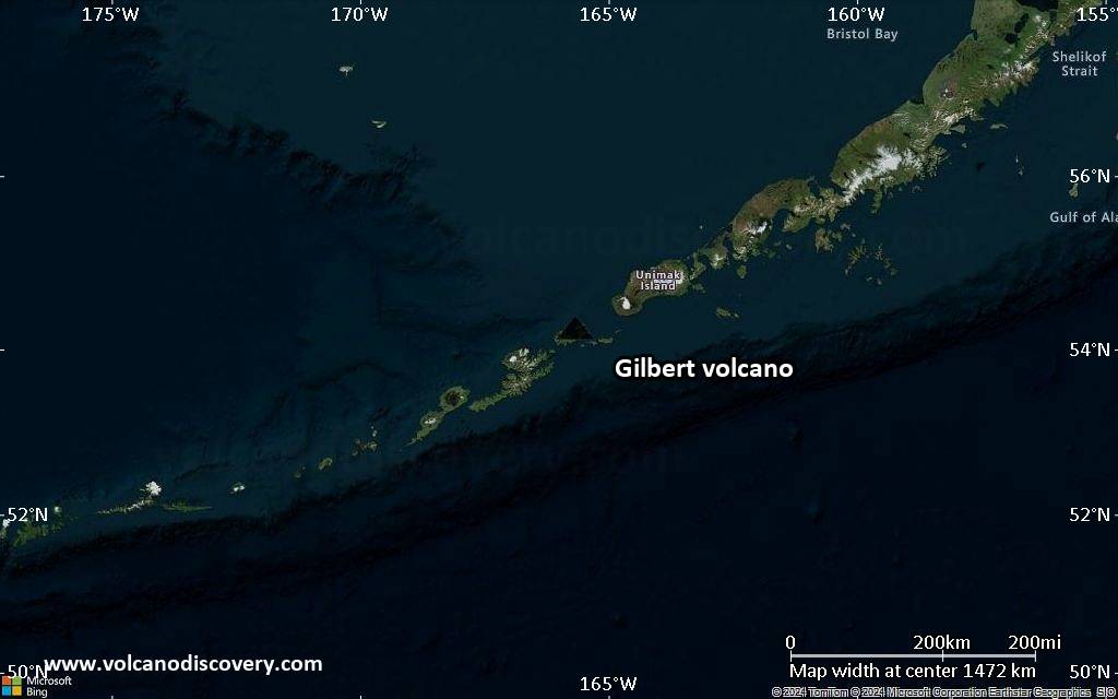
Gilbert Volcano Maps
Below is a selection of maps showing the location and surroundings of the volcano at various resolutions based on aerial-imagery / terrain maps. Feel free to use them for non-commercial purposes on your blog or website as long as you credit them with a link back to this page (click to copy it).

Satellite/aerial-type map of Gilbert volcano (world scale)

Terrain-type map of Gilbert volcano (world scale)

Satellite/aerial-type map of Gilbert volcano (region scale large)

Terrain-type map of Gilbert volcano (region scale large)
Satellite/aerial-type map of Gilbert volcano (region scale medium)

Terrain-type map of Gilbert volcano (region scale medium)

Satellite/aerial-type map of Gilbert volcano (region scale small)

Terrain-type map of Gilbert volcano (region scale small)

Satellite/aerial-type map of Gilbert volcano (local scale large)

Terrain-type map of Gilbert volcano (local scale large)

Satellite/aerial-type map of Gilbert volcano (local scale medium)

Terrain-type map of Gilbert volcano (local scale medium)

Satellite/aerial-type map of Gilbert volcano (local scale small)

Terrain-type map of Gilbert volcano (local scale small)

Satellite/aerial-type map of Gilbert volcano (scale of 10s of km)

Terrain-type map of Gilbert volcano (scale of 10s of km)

Satellite/aerial-type map of Gilbert volcano (scale of 20-40 km)

Terrain-type map of Gilbert volcano (scale of 20-40 km)

Satellite/aerial-type map of Gilbert volcano (scale of approx. 10-20 km)

Terrain-type map of Gilbert volcano (scale of approx. 10-20 km)

Satellite/aerial-type map of Gilbert volcano (scale of 5-10 km)

Satellite/aerial-type map of Gilbert volcano (scale of few kilometers)