Guntur Volcano
Updated: Jul 17, 2025 07:57 GMT -
stratovolcano
West Java (Indonesia), -7.14°S / 107.84°E 
Summit height: 2249 m (7,379 ft)
Current status: normal or dormant (1 out of 5)
Last update: 15 Dec 2021
[smaller] [larger]
Guntur volcano eruptions: 1847, 1843, 1843, 1841, 1840, 1836, 1834-35, 1833, 1832, 1832, 1829, 1828, 1827, 1825, 1818, 1816, 1815, 1809, 1807, 1803, 1800, 1780, 1777, 1690
Latest nearby earthquakes
| Date and Time | Mag / Depth | Distance / Location | |||
|---|---|---|---|---|---|
Background
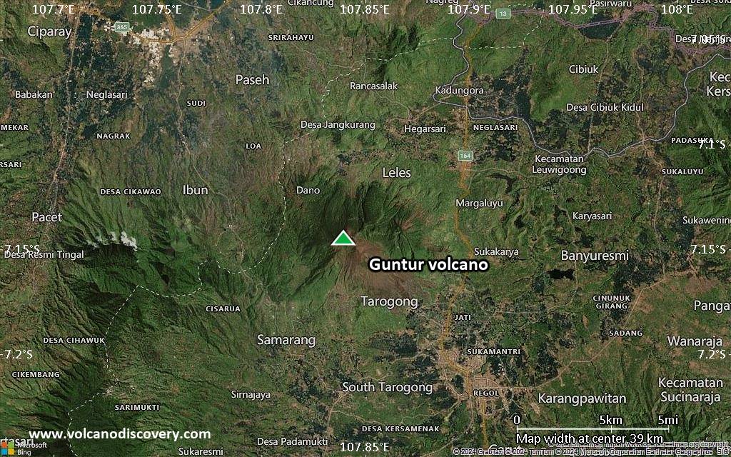
Guntur is a complex of several overlapping stratovolcanoes about 10 km NW of the city of Garut in western Java. Young lava flows, the most recent of which was erupted in 1840, are visible on the flanks of the erosionally unmodified Gunung Guntur, which rises about 1550 m above the plain of Garut. Guntur is one of a group of younger cones constructed to the SW of an older eroded group of volcanoes at the NE end of the complex. Guntur, whose name means "thunder," is the only historically active center, with eruptions having been recorded since the late-17th century. Although Guntur produced frequent explosive eruptions in the 19th century, making it one of the most active volcanoes of western Java, it has not erupted since.Significant volcanic eruptions: Guntur volcano
In the past 10,000 years, Guntur has had at least 24 confirmed eruptions, all documented by historical records or observations. Additionally, there are 3 uncertain or discredited eruptions from Guntur volcano.
The table below lists all known eruptions (date in bold face) of Guntur volcano since around 1800. Updates on the most recent volcanic activity of Guntur can be found on the news page of Guntur volcano.
| Date | Note | VEI | Deaths | Damage | ||
|---|---|---|---|---|---|---|
?? | Uncertain Eruption | ? | ||||
?? | Uncertain Eruption | ? | ||||
Discredited Eruption | ||||||
Historical obs./docs. | 2 | |||||
Historical obs./docs. | 2? | |||||
Historical obs./docs. | 3 | |||||
Historical obs./docs. | 2 | |||||
Historical obs./docs. | 2 | |||||
Historical obs./docs. | 2 | |||||
Historical obs./docs. | 2 | |||||
Historical obs./docs. | 2 | |||||
Historical obs./docs. | 2 | |||||
Historical obs./docs. | 2 | |||||
| 1829 (eruption | Historical obs./docs. | 2 | 100-1,000 (*) | Info | ||
Historical obs./docs. | 2 | |||||
Historical obs./docs. | 2 | |||||
Historical obs./docs. | 2 | |||||
Historical obs./docs. | 2 | |||||
Historical obs./docs. | 2 | |||||
Historical obs./docs. | 2 | |||||
Historical obs./docs. | 2 | |||||
Historical obs./docs. | 2 | |||||
Historical obs./docs. | 2 | |||||
Historical obs./docs. | 2 | |||||
| 1800 Oct 8 (eruption | Historical obs./docs. | 0 | 100-1,000 (*) | Info | ||
Historical obs./docs. | ? | |||||
(*) Estimated numbers
Remark:
Our list of volcanic eruptions closely follows the database of eruptions of the Smithsonian's Global Volcanism Project (GVP), the internationally most recognized data source for volcanic eruptions, but also includes significant eruptive episodes or related volcano events. "Volcanic eruptions" are usually to be understood as sequences of individual eruptive episodes that can follow each other, or even overlap (if several vents are involved), and can last many years, decades or even longer. For example, the current activity of Stromboli volcano is understood as a single eruption that has been ongoing since 1934.
Sources: NOAA National Centers for Environmental Information (NCEI), Global Significant Volcanic Eruptions Database. doi:10.7289/V5TD9V7K | Global Volcanism Project / Smithsonian Institution
Guntur Volcano FAQ
+When was the last eruption of Guntur volcano?
The last confirmed eruption of Guntur occurred in 1847.
+How often does Guntur volcano erupt?
Since 1690 AD, Guntur volcano has had at least 24 historically documented eruptions. This means that it erupts on average every 14 years.
+When was the largest eruption of Guntur volcano?
The largest eruption of Guntur volcano in historic times occurred in 1843. It ranks as a "vulcanian" eruption with a magnitude 3 on the VEI (Volcanic Explosivity Index) scale.
Latest satellite images
Guntur Volcano Maps
Below is a selection of maps showing the location and surroundings of the volcano at various resolutions based on aerial-imagery / terrain maps. Feel free to use them for non-commercial purposes on your blog or website as long as you credit them with a link back to this page (click to copy it).
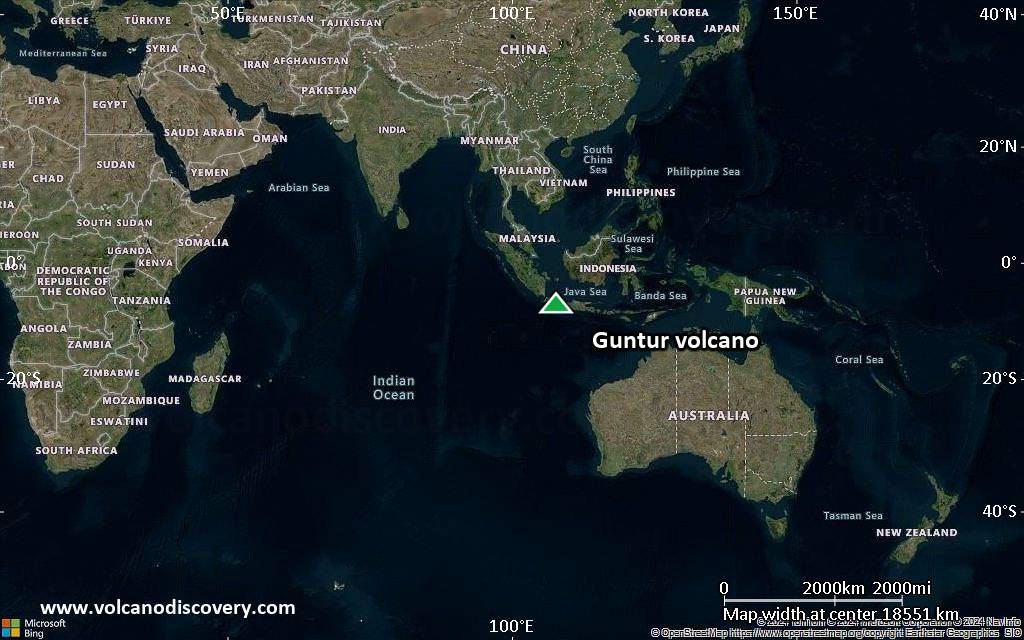
Satellite/aerial-type map of Guntur volcano (world scale)
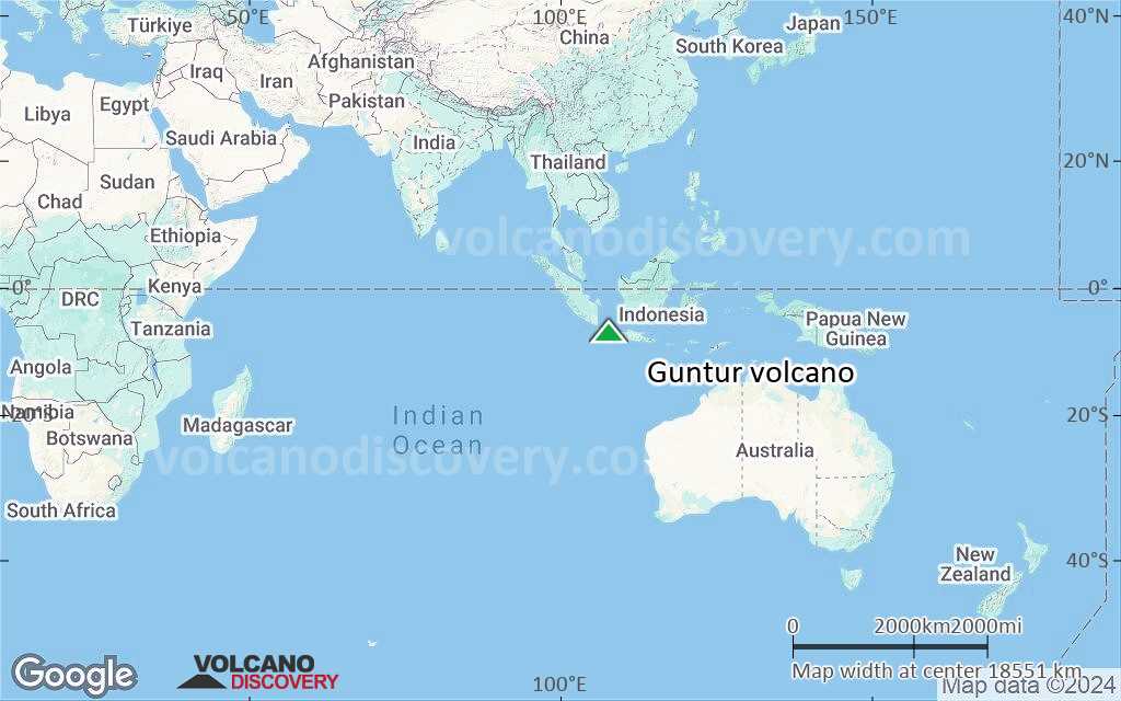
Terrain-type map of Guntur volcano (world scale)

Satellite/aerial-type map of Guntur volcano (region scale large)

Terrain-type map of Guntur volcano (region scale large)

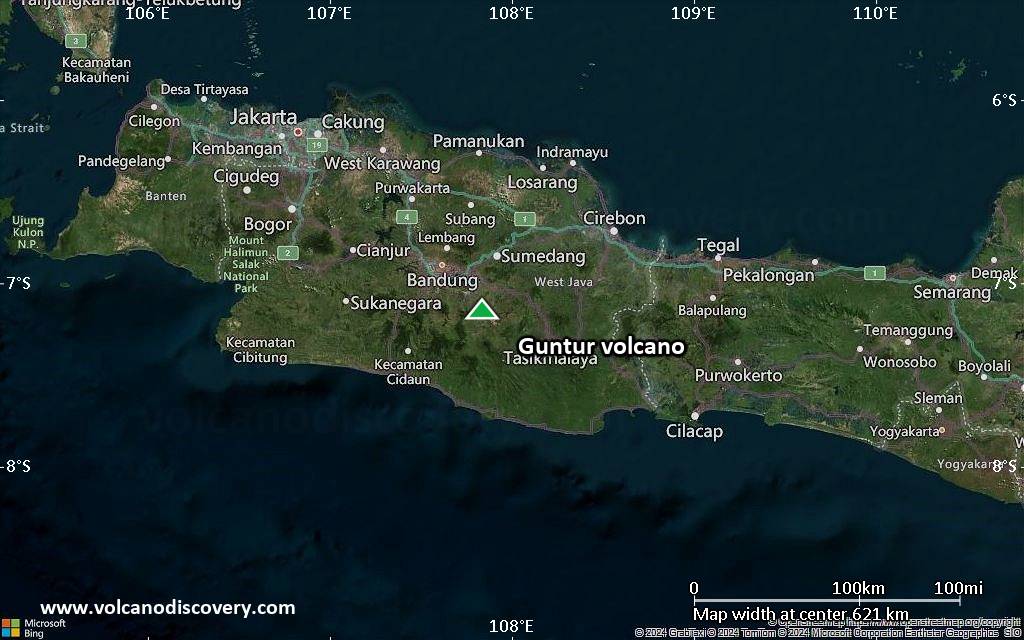
Satellite/aerial-type map of Guntur volcano (region scale medium)

Terrain-type map of Guntur volcano (region scale medium)

Satellite/aerial-type map of Guntur volcano (region scale small)

Terrain-type map of Guntur volcano (region scale small)
Satellite/aerial-type map of Guntur volcano (local scale large)

Terrain-type map of Guntur volcano (local scale large)

Satellite/aerial-type map of Guntur volcano (local scale medium)

Terrain-type map of Guntur volcano (local scale medium)

Satellite/aerial-type map of Guntur volcano (local scale small)

Terrain-type map of Guntur volcano (local scale small)

Satellite/aerial-type map of Guntur volcano (scale of 10s of km)

Terrain-type map of Guntur volcano (scale of 10s of km)
Satellite/aerial-type map of Guntur volcano (scale of 20-40 km)

Terrain-type map of Guntur volcano (scale of 20-40 km)

Satellite/aerial-type map of Guntur volcano (scale of approx. 10-20 km)

Terrain-type map of Guntur volcano (scale of approx. 10-20 km)

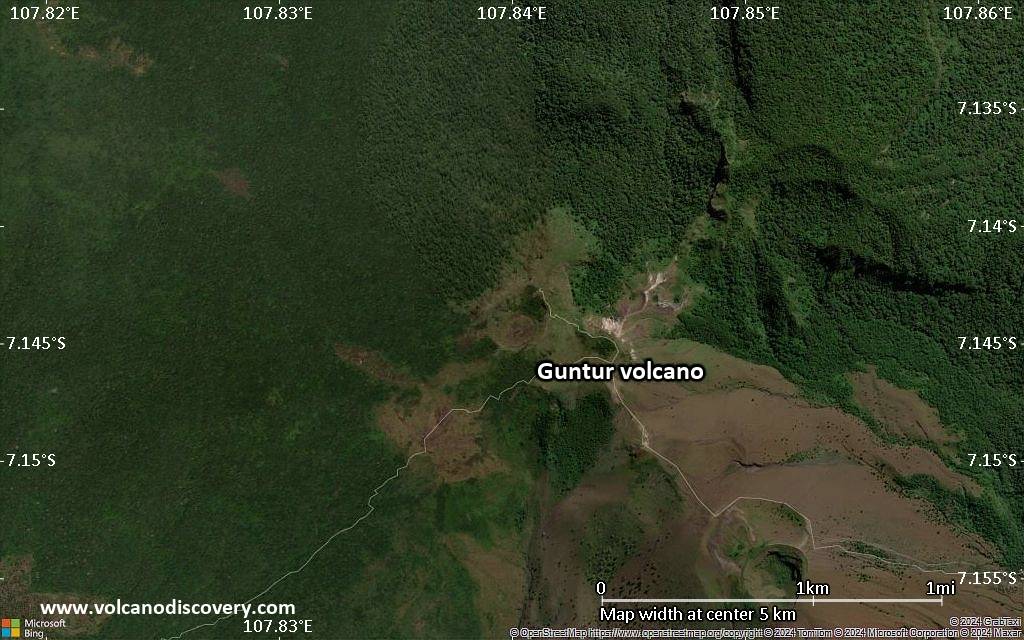
Satellite/aerial-type map of Guntur volcano (scale of 5-10 km)
Satellite/aerial-type map of Guntur volcano (scale of few kilometers)