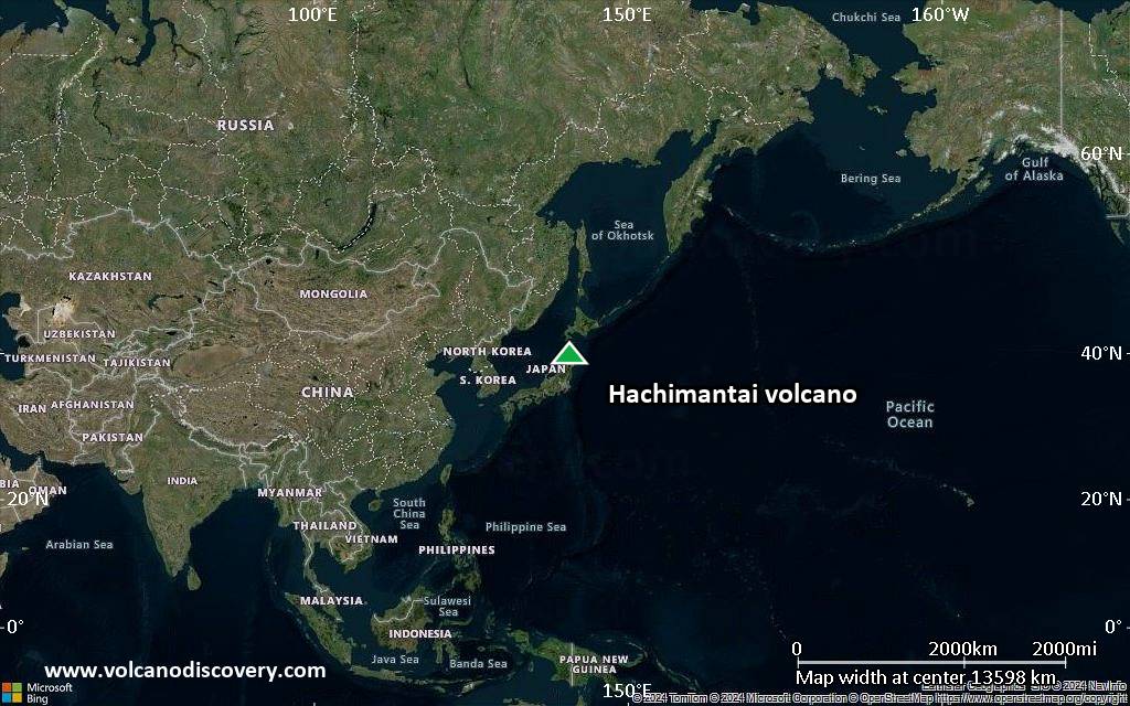
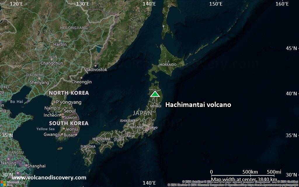
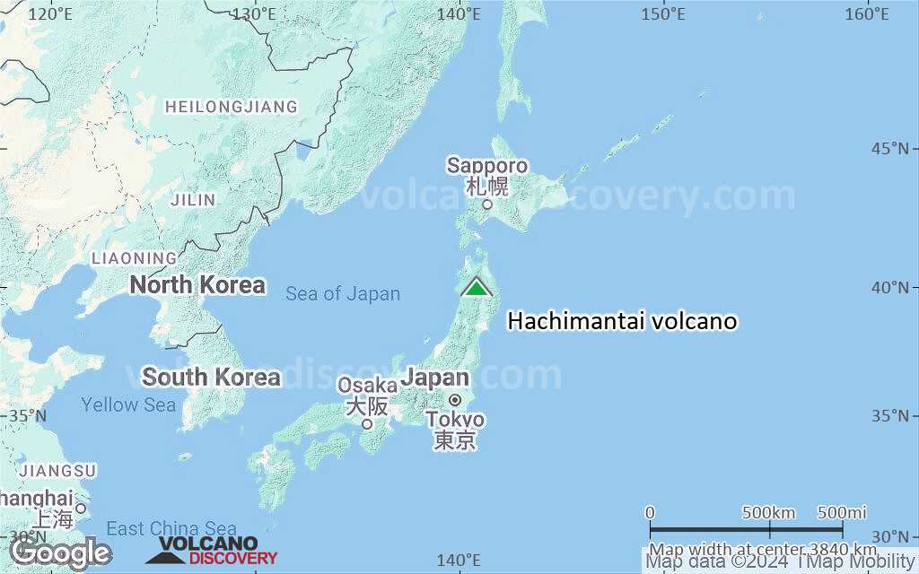
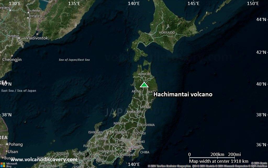
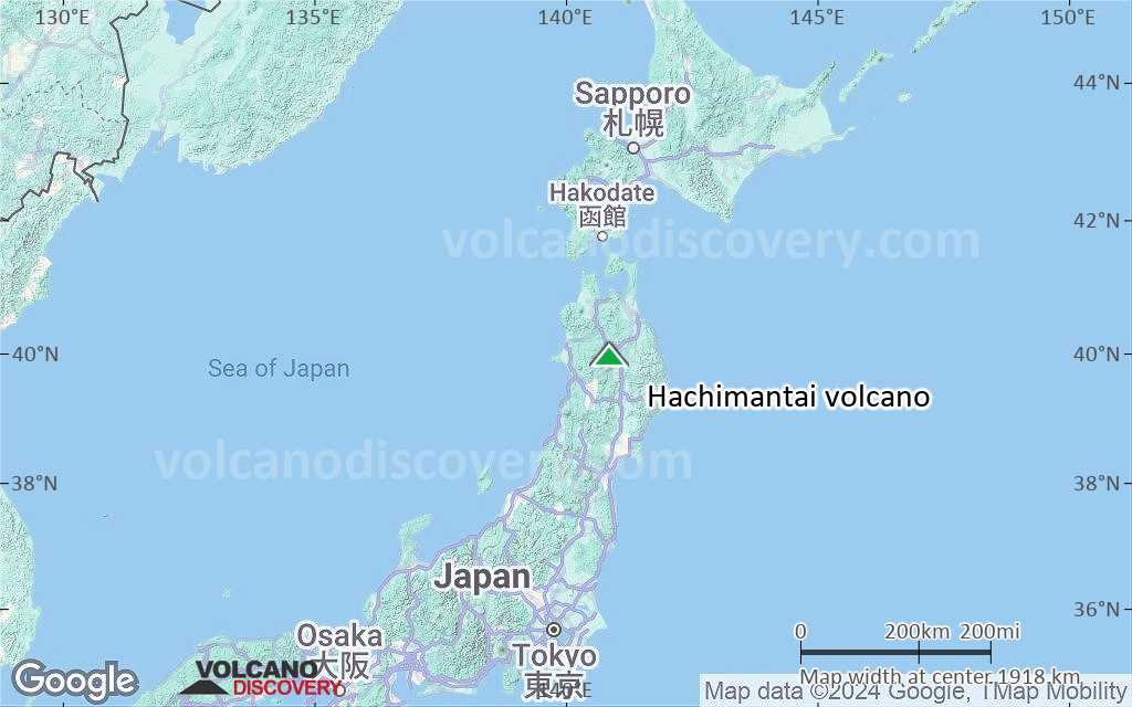
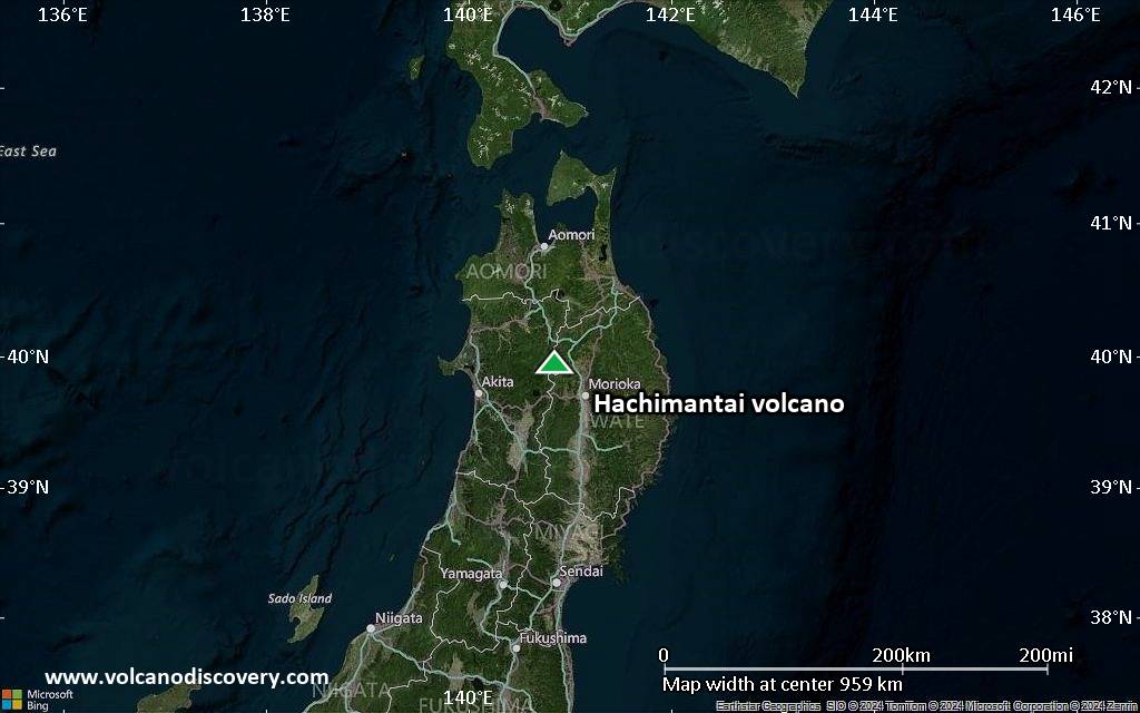
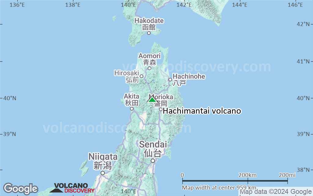
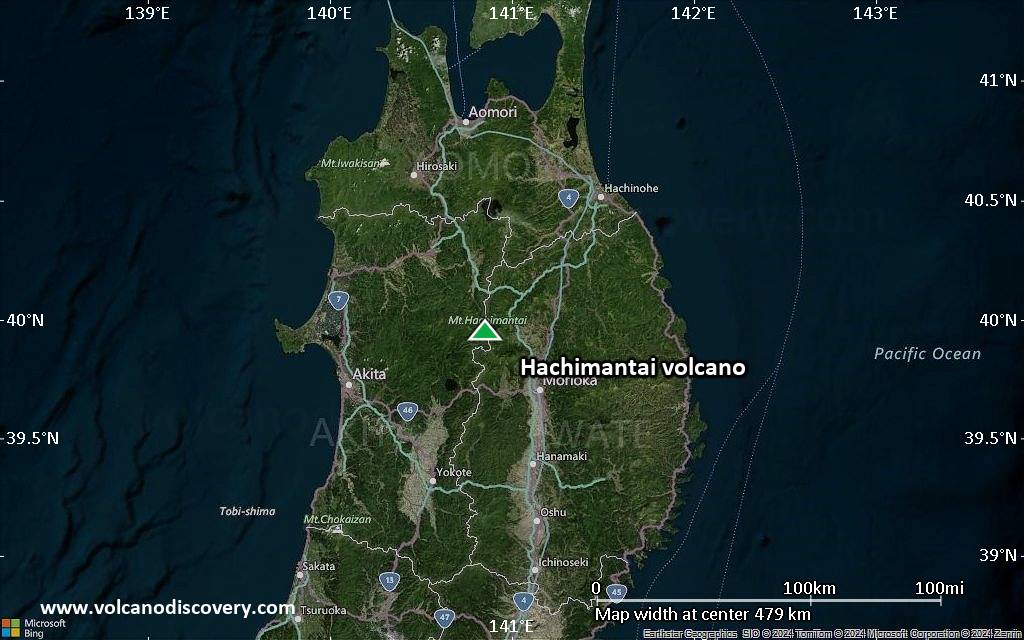
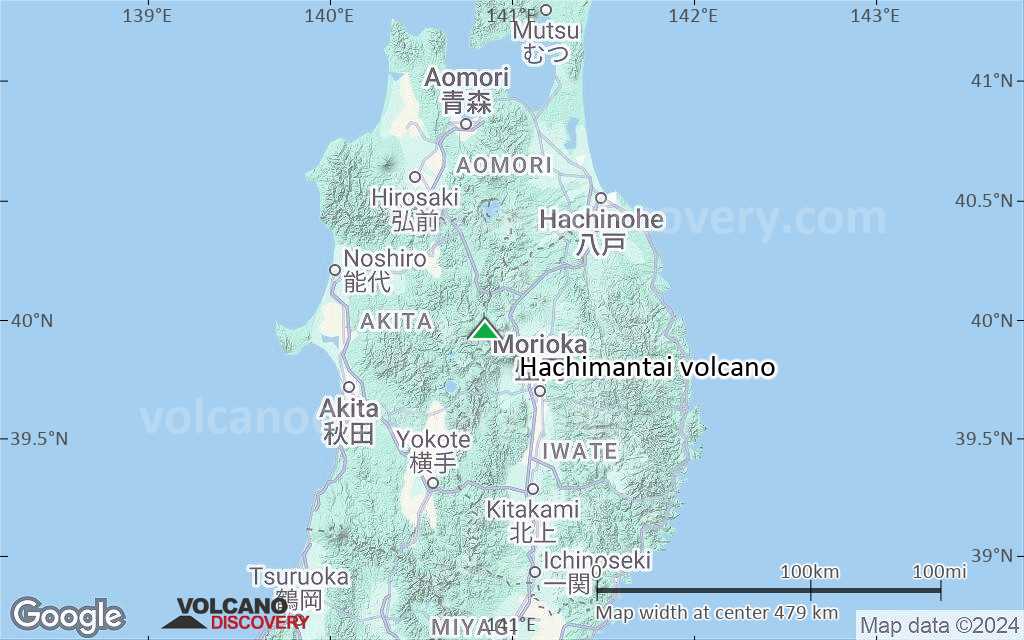
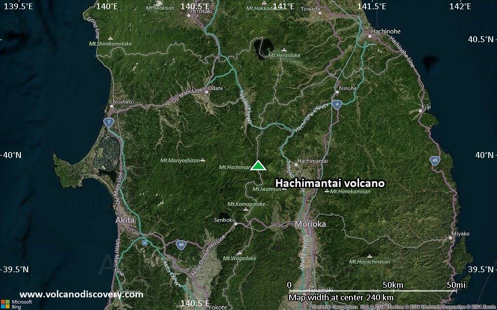
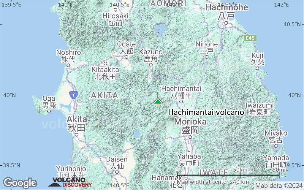
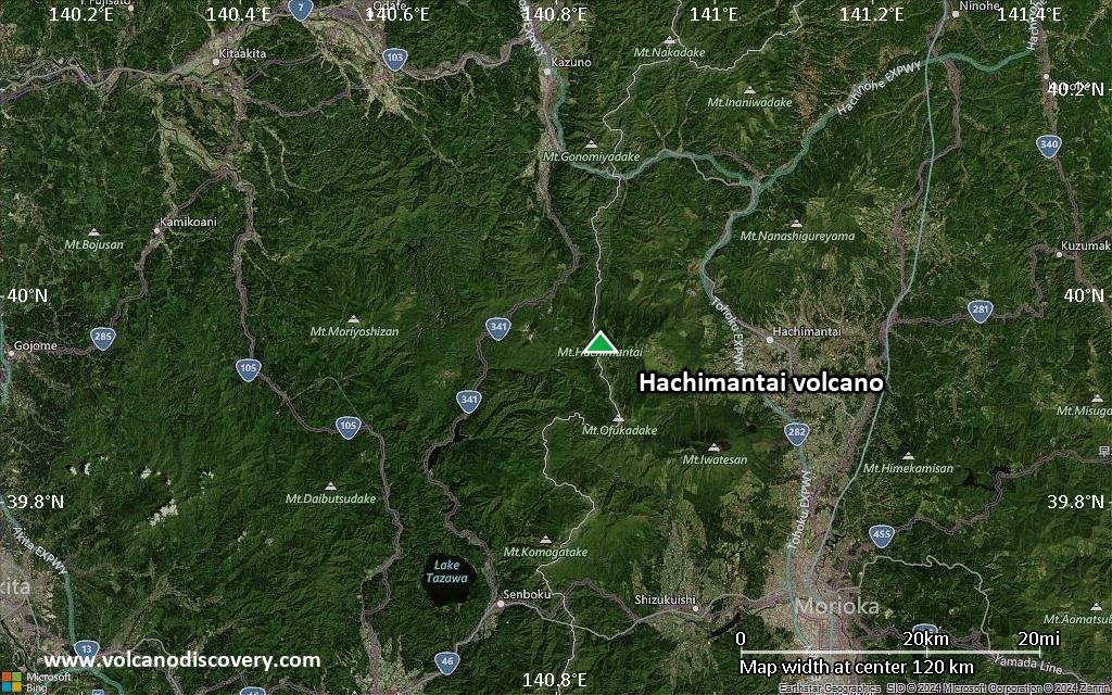
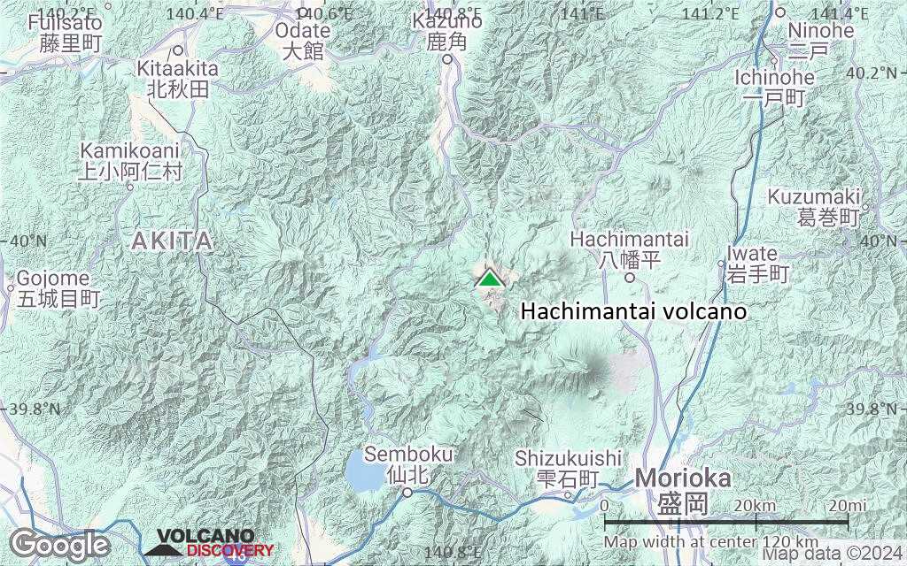
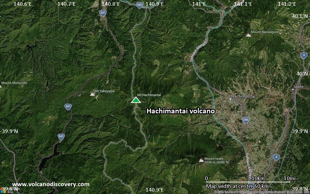
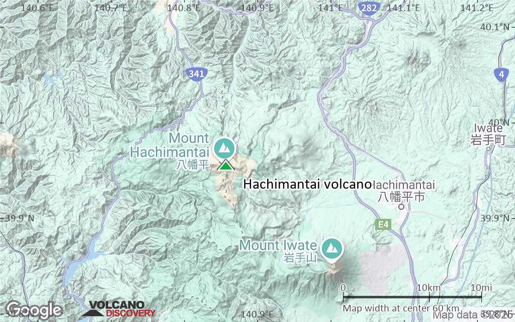
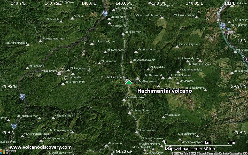
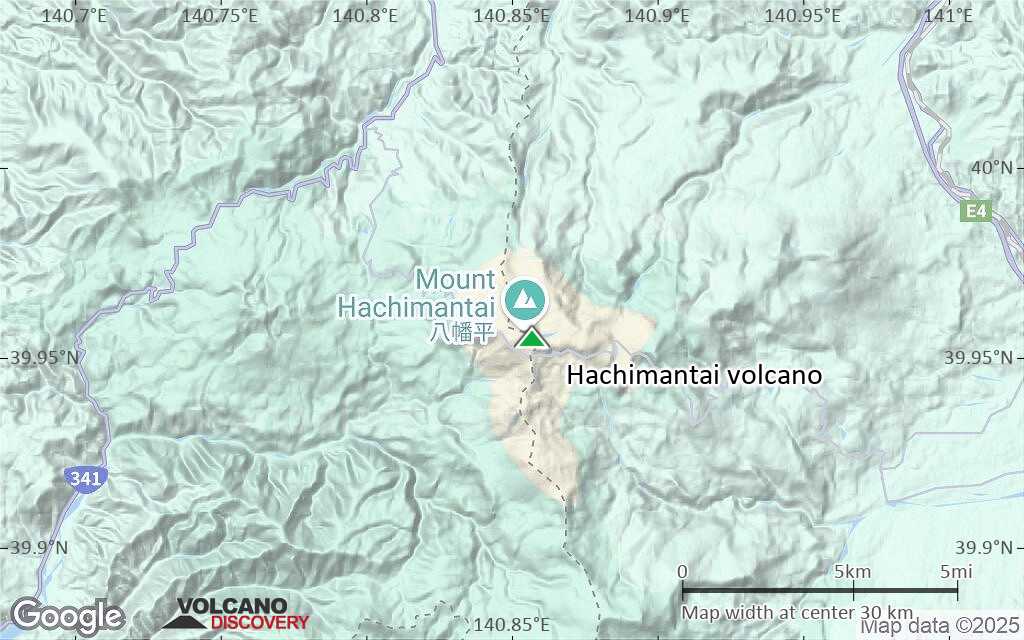
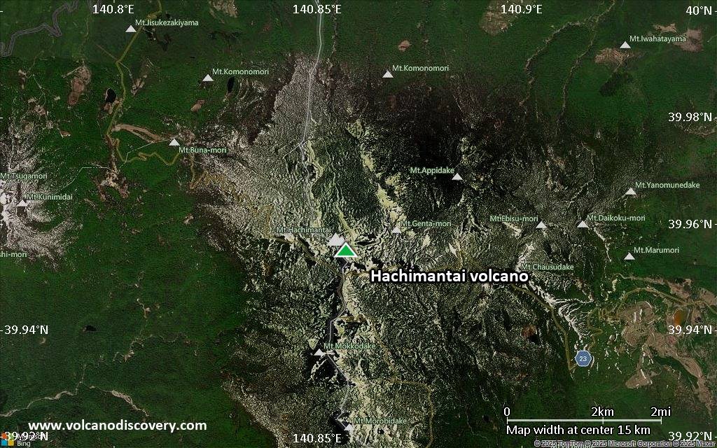
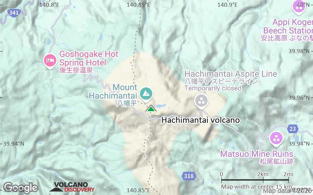
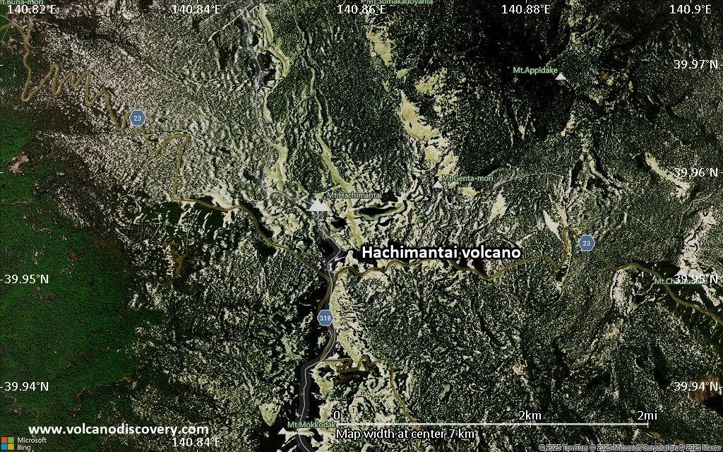
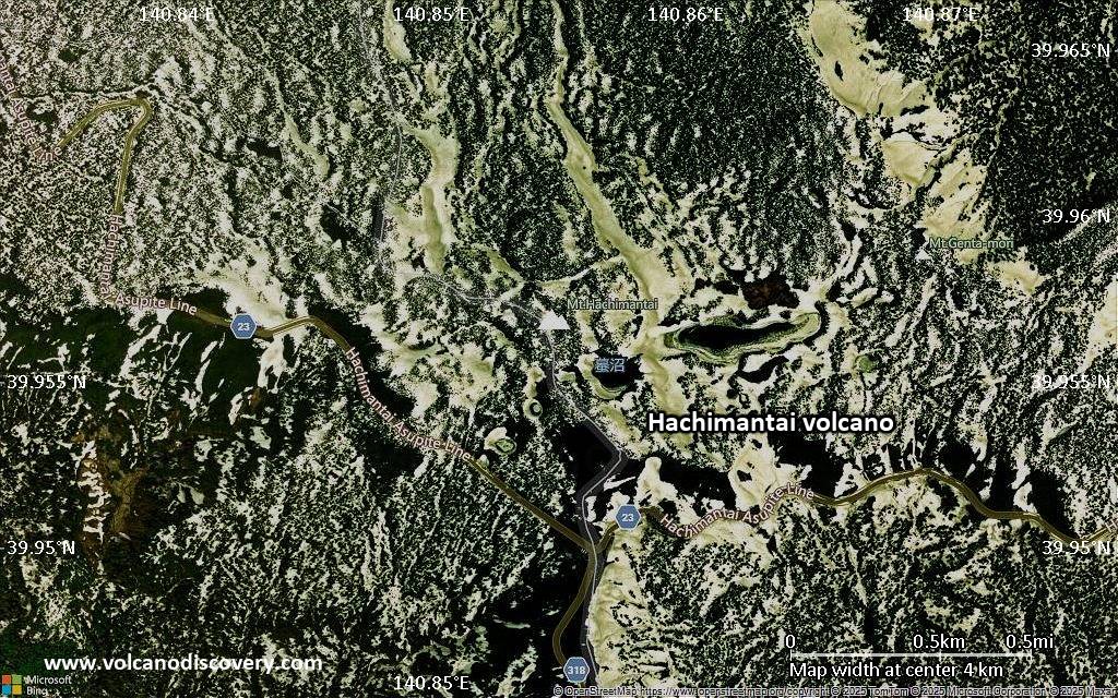
| RSS | EN | DE | EL | ES | FR | IT | RU

Hachimantai Volcano

Updated: Aug 27, 2025 08:39 GMT -
stratovolcano
Honshu (Japan), 39.96°N / 140.86°E
Summit height: 1614 m / 5,295 ft
Current status: normal or dormant (1 out of 5)

Hachimantai (Hatimantai) volcano is a complex stratovolcano in northern Honshu, Japan, located at the front of the northern Honshu volcanic arc. It belongs to the Towada-Hachimantai National Park.
Hachimantai was originally the name of a small peak (1614m) in the northern Sengan area, but is now commonly used as the name for the entire volcanic group, which contains several cones and craters in a widely scattered area.
Its summit is a vast undulated plateau containing circular craters near Komono-more and Mokko-dake in the center.
There are no historical eruptions from the volcanic group and the last activity is probably more than 7000 years ago, but there are still major major gas emissions around the Fukenoyu cone and active solfataras are found on the western and southern flanks.

[smaller] [larger]
Typical eruption style: explosive
Hachimantai volcano eruptions: none in historic times
5350 BC (?), 7900 BC ± 150 years (radiocarbon dated)

Latest nearby earthquakes

Date and TimeMag / DepthDistance / Location
Aug 25, 03:21 pm (GMT +9)
1.2

7.5 km
28 km (17 mi) to the W Japan: Northern Akita Pref Info
Sunday, August 24, 2025 GMT (1 quake)
Aug 24, 11:01 pm (GMT +9)
0.3

3.4 km
22 km (14 mi) to the W Japan: Northern Akita Pref Info
Saturday, August 23, 2025 GMT (3 quakes)
Aug 24, 03:30 am (GMT +9)
0.3

2.1 km
22 km (14 mi) to the W Japan: Northern Akita Pref Info
Aug 23, 04:19 pm (GMT +9)
0.8

10 km
29 km (18 mi) to the NW Japan: Northern Akita Pref Info
Aug 23, 09:30 am (GMT +9)
0.5

8.5 km
29 km (18 mi) to the NW Japan: Northern Akita Pref Info
Friday, August 22, 2025 GMT (4 quakes)
Aug 23, 07:15 am (GMT +9)
0.7

9.9 km
28 km (17 mi) to the NW Japan: Northern Akita Pref Info
Aug 23, 07:13 am (GMT +9)
0.6

6.6 km
28 km (18 mi) to the W Japan: Northern Akita Pref Info
Aug 23, 04:23 am (GMT +9)
1.1

8.5 km
29 km (18 mi) to the NW Japan: Northern Akita Pref Info
Aug 23, 04:16 am (GMT +9)
1.0

8.1 km
29 km (18 mi) to the NW Japan: Northern Akita Pref Info

Background

Hachimantai was built from from widely scattered vents during the Pleistocene and is capped with andesitic lavas from vents in the center of the complex.
The Hachimantai volcanic group comprises the Chausudake-Maemoriyama, Ofukadake-Magarizakiyama and the Hachimantai-Morobidake group, which itself consists of several vents and volcanic edifices: 2 major andesitic cones of Hachimantai and Chausu-dake, and 2 major basaltic cones, Fukenoyu and Morobi-dake, as well as several minor dacitic, andesitic, and basaltic cones including Komono-morem, Mokko-dake, Ebisumori, Daikokumori, Yanomune-dake, Appi-dake.

Geology:
Hachimantai is similar to the Iwate volcanic field in vent alignment and rock type, including high magnesium andesites, likely produced by 2-stage magma mixing. Both contain sub-parallel W-E trending volcanic chains at a spacing of about 12 km. In both volcanic chains, andesite cones are situated at the western end, and basalt to basaltic andesite magmas are erupted in the middle and eastern chains.
Volcanic activity at Hachimantai occurred in at least 3 major periods:
1) 0,7-1 million years ago (mainly andesites),
2) 300-400,000 years ago (basalt, high-magnesian andesite, andesite and dacite magmas).
3) 100-200,000 years ago (basalt magmas).

---
Sources
- Smithsonian / GVP volcano information
- Quaternary Volcanoes of Japan. Geol Surv Japan, AIST
- Ohba et al (2007) "High-Magnesian Andesite Produced by Two-Stage Magma Mixing: a Case Study from Hachimantai, Northern Honshu, Japan", J. Petrology, v. 48(3), pp 627-645

Significant volcanic eruptions: Hachimantai volcano

No historic eruptions are known from Hachimantai volcano, but evidence from at least 2 eruptions during the past 10,000 years can be found in the geological record.
The table below lists all known eruptions (date in bold face) of Hachimantai volcano in historic times and during the past 10,000 years. Updates on the most recent volcanic activity of Hachimantai can be found on the news page of Hachimantai volcano.
DateNoteVEIDeathsDamage
5350 ? BC?
7900 ±150 y. BC?
Remark:
Our list of volcanic eruptions closely follows the database of eruptions of the Smithsonian's Global Volcanism Project (GVP), the internationally most recognized data source for volcanic eruptions, but also includes significant eruptive episodes or related volcano events. "Volcanic eruptions" are usually to be understood as sequences of individual eruptive episodes that can follow each other, or even overlap (if several vents are involved), and can last many years, decades or even longer. For example, the current activity of Stromboli volcano is understood as a single eruption that has been ongoing since 1934.
Sources: NOAA National Centers for Environmental Information (NCEI), Global Significant Volcanic Eruptions Database. doi:10.7289/V5TD9V7K | Global Volcanism Project / Smithsonian Institution

Hachimantai Volcano FAQ

+When was the last eruption of Hachimantai volcano?

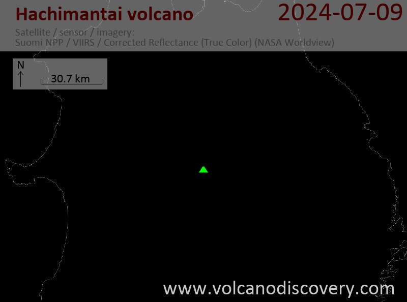
Latest satellite images

Hachimantai satellite image sat1Hachimantai satellite image sat2

Hachimantai Volcano Maps

Below is a selection of maps showing the location and surroundings of the volcano at various resolutions based on aerial-imagery / terrain maps. Feel free to use them for non-commercial purposes on your blog or website as long as you credit them with a link back to this page (click to copy it).
Satellite/aerial-type map of Hachimantai volcano (world scale)
Terrain-type map of Hachimantai volcano (world scale)
Satellite/aerial-type map of Hachimantai volcano (region scale large)
Terrain-type map of Hachimantai volcano (region scale large)
Satellite/aerial-type map of Hachimantai volcano (region scale medium)
Terrain-type map of Hachimantai volcano (region scale medium)
Satellite/aerial-type map of Hachimantai volcano (region scale small)
Terrain-type map of Hachimantai volcano (region scale small)
Satellite/aerial-type map of Hachimantai volcano (local scale large)
Terrain-type map of Hachimantai volcano (local scale large)
Satellite/aerial-type map of Hachimantai volcano (local scale medium)
Terrain-type map of Hachimantai volcano (local scale medium)
Satellite/aerial-type map of Hachimantai volcano (local scale small)
Terrain-type map of Hachimantai volcano (local scale small)
Satellite/aerial-type map of Hachimantai volcano (scale of 10s of km)
Terrain-type map of Hachimantai volcano (scale of 10s of km)
Satellite/aerial-type map of Hachimantai volcano (scale of 20-40 km)
Terrain-type map of Hachimantai volcano (scale of 20-40 km)
Satellite/aerial-type map of Hachimantai volcano (scale of approx. 10-20 km)
Terrain-type map of Hachimantai volcano (scale of approx. 10-20 km)
Satellite/aerial-type map of Hachimantai volcano (scale of 5-10 km)
Satellite/aerial-type map of Hachimantai volcano (scale of few kilometers)
Volcanoes & Earthquakes - new app for Android
Guaranteed tours
1-14 Oct 2025: Desert, salt and volcanoes - Danakil desert (Ethiopia)
4-12 Oct 2025: From Stromboli to Etna - Sicily and Eolian Islands (Italy)
6-21 Oct 2025: From Krakatau to Bali - Java (Indonesia)
3-19 Nov 2025: Volcanoes and Spices - Sulawesi/Halmahera (Indonesia)
9-19 Nov 2025: Guatemala Volcano Special - Guatemala
= spaces available   = guaranteed   = few spaces left   = booked out

No news in this list.

On this page:

Try our free app!
Volcanoes & Earthquakes - new app for Android
Android | iOS version

More on VolcanoDiscovery

Why is there advertising on this site?

Support Us – Help Us Enhance Our Services!

We’re passionate about delivering the latest volcano and earthquake data from around the globe — just for you. However, maintaining our website and free apps requires significant time, effort, and resources.
Your support helps us expand our hardware and software capabilities and empowers our dedicated editorial team. Our mission is to provide uninterrupted, real-time updates whenever an earthquake strikes or a volcano erupts — and your donations make this possible. Every contribution, big or small, is deeply appreciated. If you find our information valuable and want to help us add new features, create compelling content, and improve our technology, please consider making a donation:

Donate with Card or Apple/Google Pay:

Send €5 payment link to support VolcanoDiscovery with 5 EUR
€10 payment link to support VolcanoDiscovery with 10 EUR
€25 payment link to support VolcanoDiscovery with 25 EUR
€50 payment link to support VolcanoDiscovery with 50 EUR
€100 payment link to support VolcanoDiscovery with 100 EUR
€250 payment link to support VolcanoDiscovery with 250 EUR

Donate with PayPal:

Planned Features:

Thanks to your past donations, we have recently added:
Download the Volcanoes & Earthquakes app to stay among the first to receive the fastest seismic and volcano alerts online:
Android | iOS
Thank you for being part of our mission!
Sources: VolcanoDiscovery / VolcanoAdventures and other sources as noted.
Use of material: Most text and images on our websites are owned by us. Re-use is generally not permitted without authorization. Contact us for licensing rights.
Volcanoes & Earthquakes
VolcanoDiscovery Home
Volcanoes | Earthquakes | Photos | Volcano News | | Shop | App
Adventure & Study Travel
Tours to Volcanoes and Volcanic Areas: walking tours, photo tours, study tours
Tours & Dates | FAQ | About us
Get our newsletter!
Company info
Contact | Legal info | Terms & conditions
Follow us
Follow us on facebook Follow us on Instagram Follow us on Bluesky Follow us on Twitter Visit our Youtube channel
EN | DE | EL | ES | FR | IT | RU
VolcanoDiscovery GmbH, Germany, Reg. nr.: HRB 103744, EU Tax Id: DE 297 465 123 owned and created by
Dr. Tom Pfeiffer, volcanologist, volcano photographer, tour organizer member of
IAVCEI
IAVCEI
Vulkanologische Gesellschaft
Volcanological Society
Ecotourism Greece
Ecotourism Greece
RUV insurance
Insured by R+V
VolcanoDiscovery © 2004- All Rights Reserved | Privacy - Cookie Settings