Haruna Volcano
Updated: Jun 21, 2025 08:52 GMT -
stratovolcano
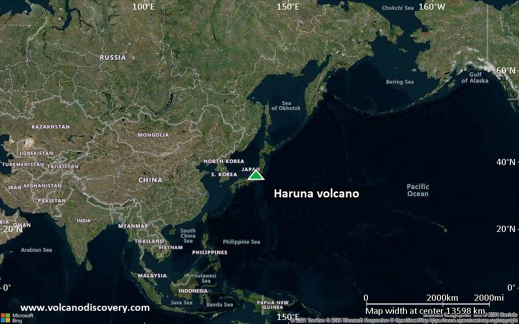
Honshu (Japan), 36.47°N / 138.88°E 
Summit height: 1449 m / 4,754 ft
Current status: normal or dormant (1 out of 5)
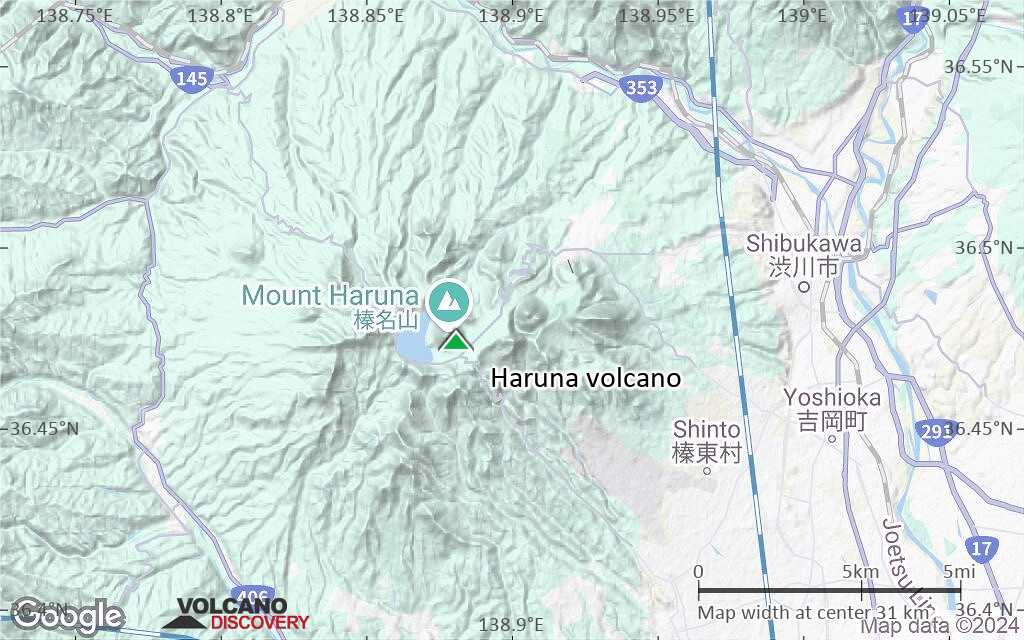
Haruna volcano a stratovolcano located in central Honshu, 110 km NW of Tokyo. The volcano contains a small summit caldera with a symmetrical post-caldera cone (Haruna Fuji) and Lake Haruna in the western side of the caldera.
The most recent eruptions, dated to the 6th century AD, were 2 large explosive eruptions from the Futatsu-dake lava dome in the eastern part of the caldera.
[smaller] [larger]
Haruna volcano eruptions: around 550 AD, 520 AD, 450 AD
Latest nearby earthquakes
Background
Haruna-san volcano forms the older part of the volcanic edifice and dates back more than 300,000 years ago. It had large plinian eruptions about 200,000 and 40,000 years ago, that were followed by caldera formation.Viscous lava flows and lava domes formed afterwards within and around the caldera.
Significant volcanic eruptions: Haruna volcano
No historic eruptions are known from Haruna volcano, but evidence from at least 3 eruptions during the past 10,000 years can be found in the geological record.
The table below lists all known eruptions (date in bold face) of Haruna volcano in historic times and during the past 10,000 years. Updates on the most recent volcanic activity of Haruna can be found on the news page of Haruna volcano.
| Date | Note | VEI | Deaths | Damage | |
|---|---|---|---|---|---|
| Futatsu-dake | 5 | ||||
| Futatsu-dake | 4+ | ||||
| Futatsu-dake | 3 | ||||
Remark:
Our list of volcanic eruptions closely follows the database of eruptions of the Smithsonian's Global Volcanism Project (GVP), the internationally most recognized data source for volcanic eruptions, but also includes significant eruptive episodes or related volcano events. "Volcanic eruptions" are usually to be understood as sequences of individual eruptive episodes that can follow each other, or even overlap (if several vents are involved), and can last many years, decades or even longer. For example, the current activity of Stromboli volcano is understood as a single eruption that has been ongoing since 1934.
Sources: NOAA National Centers for Environmental Information (NCEI), Global Significant Volcanic Eruptions Database. doi:10.7289/V5TD9V7K | Global Volcanism Project / Smithsonian Institution
Haruna Volcano FAQ
+When was the last eruption of Haruna volcano?
The last confirmed eruption of Haruna occurred around 550 AD.
+When was the largest eruption of Haruna volcano?
The largest eruption known from the younger geological history of Haruna volcano occurred around 550 AD. It only has a VEI (Volcanic Explosivity Index) of , likely because it was a mainly effusive eruption generating lava flows but very little ash.
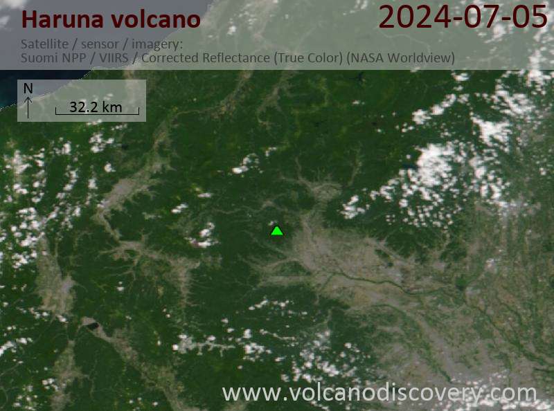
Latest satellite images
Haruna Volcano Maps
Below is a selection of maps showing the location and surroundings of the volcano at various resolutions based on aerial-imagery / terrain maps. Feel free to use them for non-commercial purposes on your blog or website as long as you credit them with a link back to this page (click to copy it).
Satellite/aerial-type map of Haruna volcano (world scale)
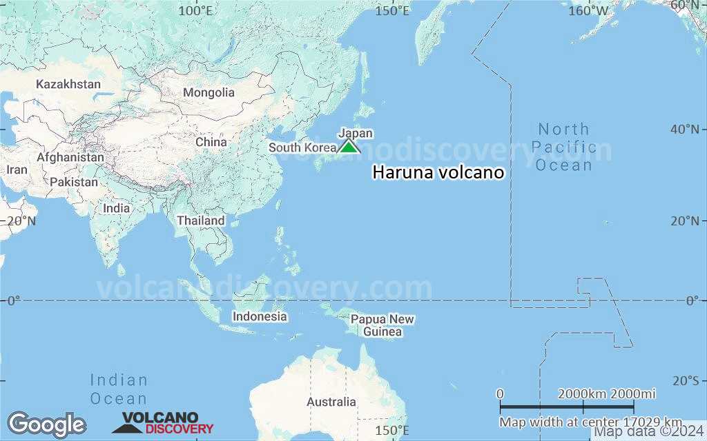
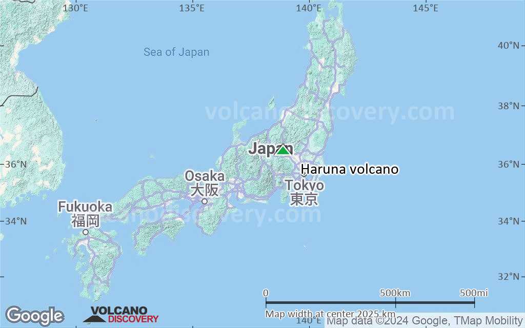
Terrain-type map of Haruna volcano (world scale)
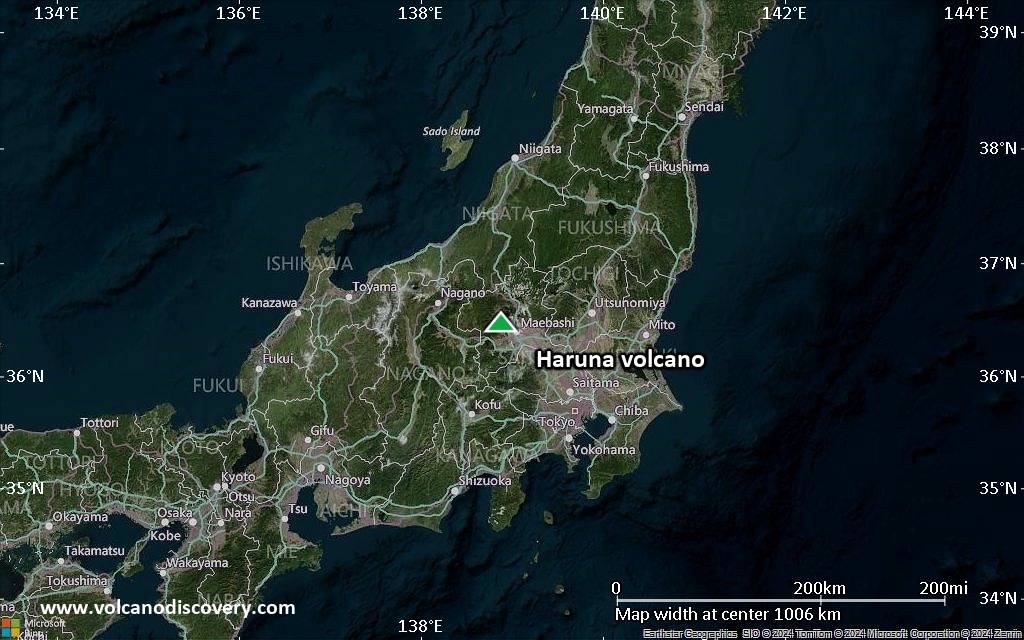
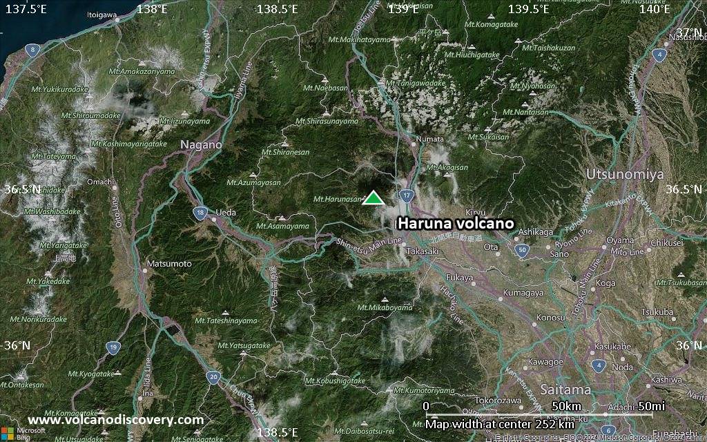
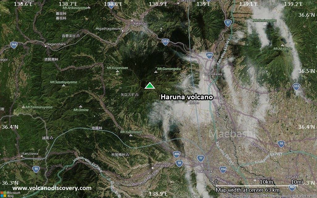
Satellite/aerial-type map of Haruna volcano (region scale large)
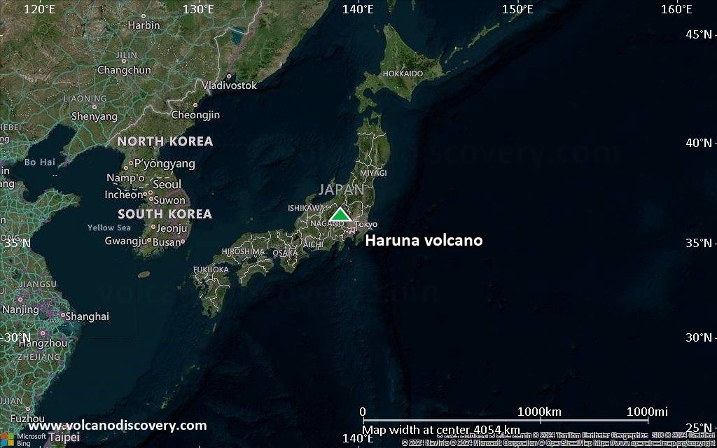
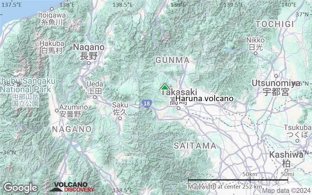
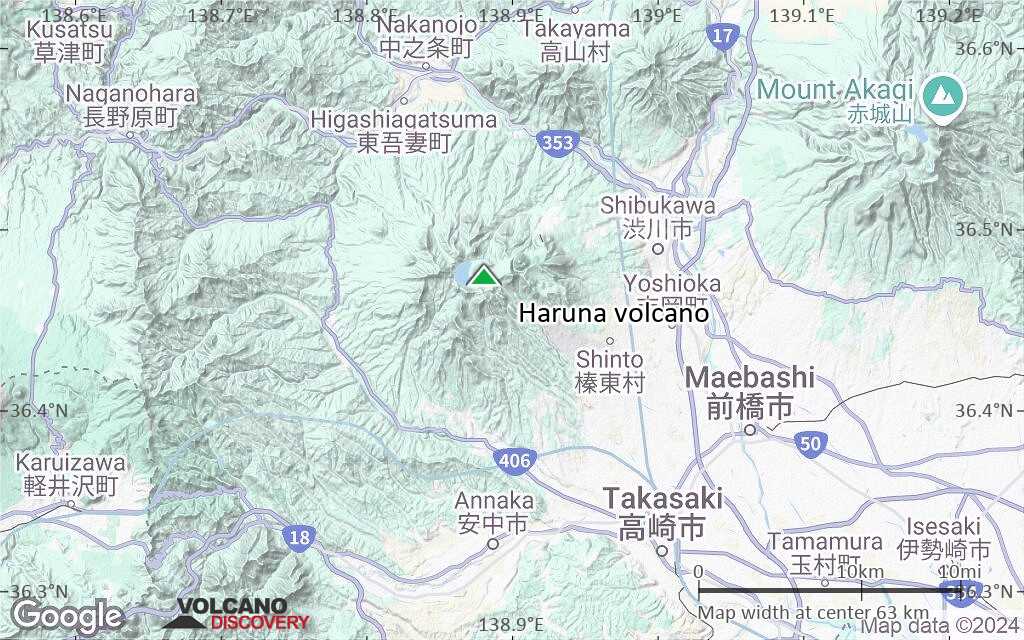
Terrain-type map of Haruna volcano (region scale large)
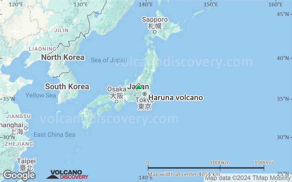
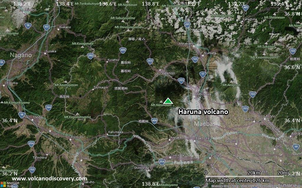
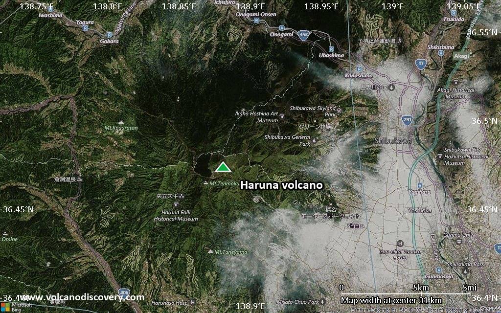
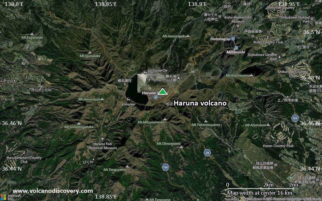
Satellite/aerial-type map of Haruna volcano (region scale medium)
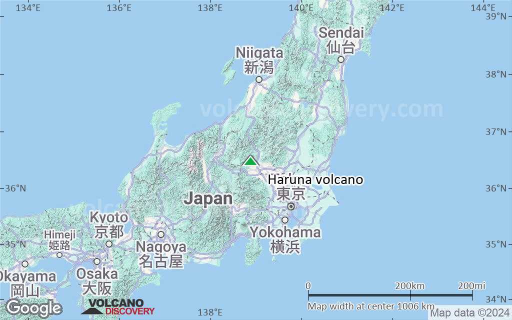
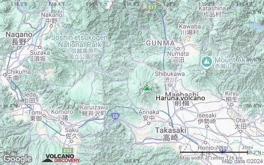
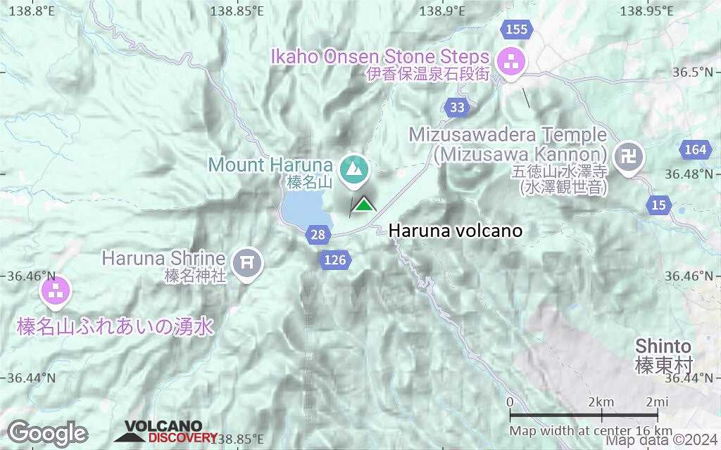
Terrain-type map of Haruna volcano (region scale medium)
Satellite/aerial-type map of Haruna volcano (region scale small)
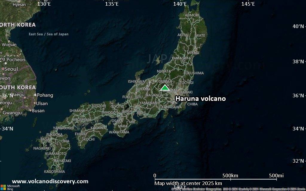
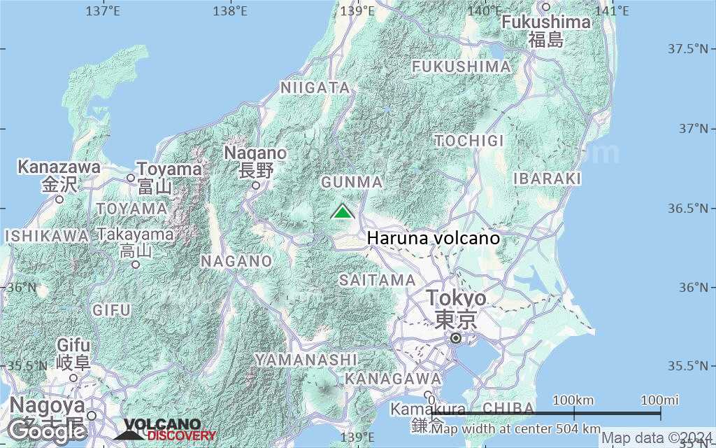
Terrain-type map of Haruna volcano (region scale small)

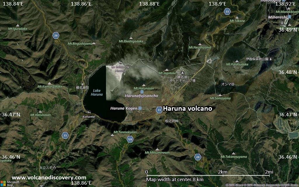
Satellite/aerial-type map of Haruna volcano (local scale large)
Terrain-type map of Haruna volcano (local scale large)
Satellite/aerial-type map of Haruna volcano (local scale medium)
Terrain-type map of Haruna volcano (local scale medium)
Satellite/aerial-type map of Haruna volcano (local scale small)
Terrain-type map of Haruna volcano (local scale small)
Satellite/aerial-type map of Haruna volcano (scale of 10s of km)
Terrain-type map of Haruna volcano (scale of 10s of km)
Satellite/aerial-type map of Haruna volcano (scale of 20-40 km)
Terrain-type map of Haruna volcano (scale of 20-40 km)
Satellite/aerial-type map of Haruna volcano (scale of approx. 10-20 km)
Terrain-type map of Haruna volcano (scale of approx. 10-20 km)
Satellite/aerial-type map of Haruna volcano (scale of 5-10 km)

Satellite/aerial-type map of Haruna volcano (scale of few kilometers)