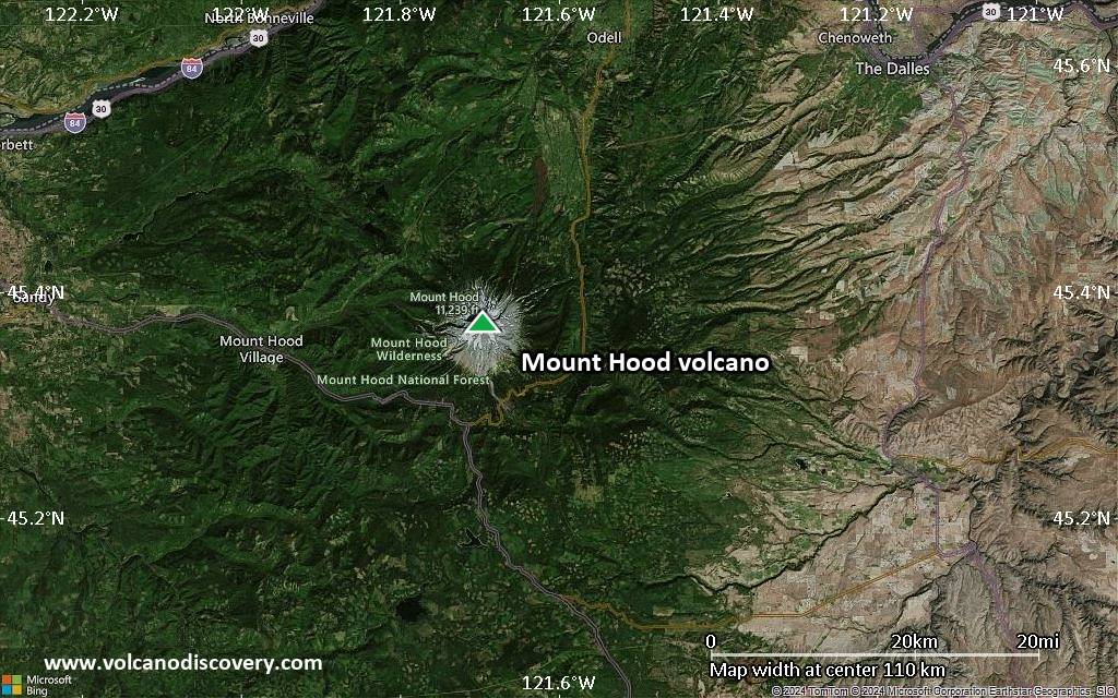
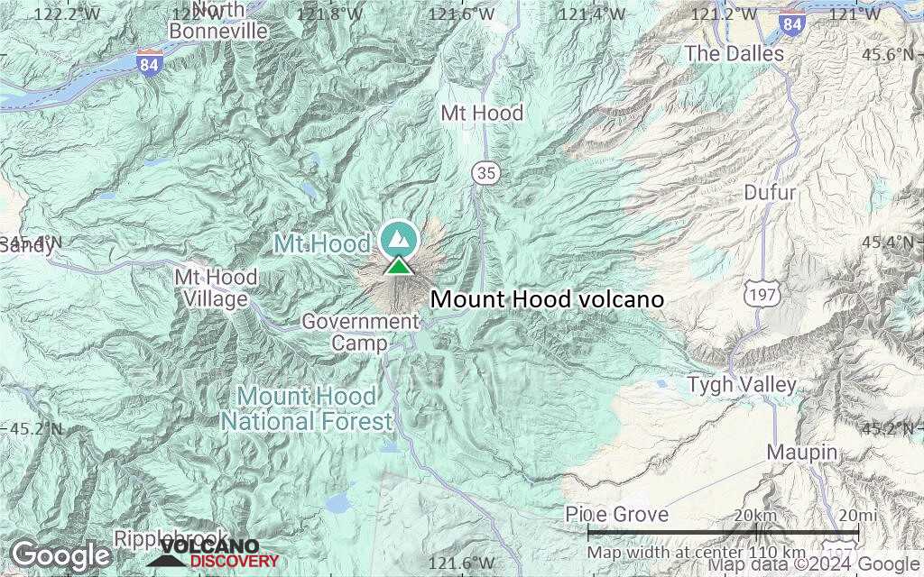
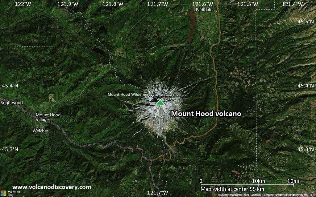
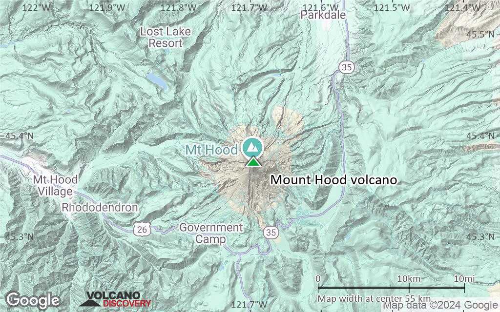
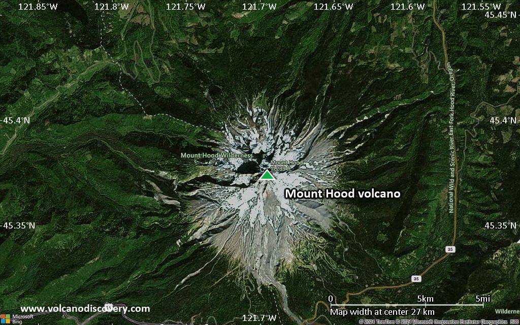
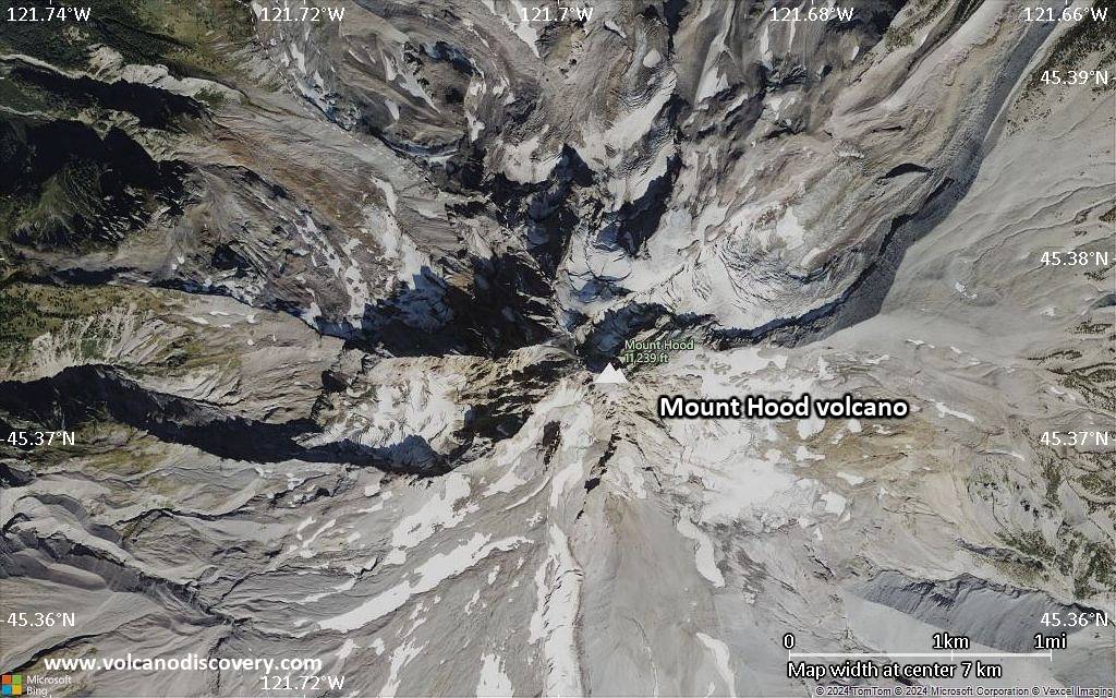
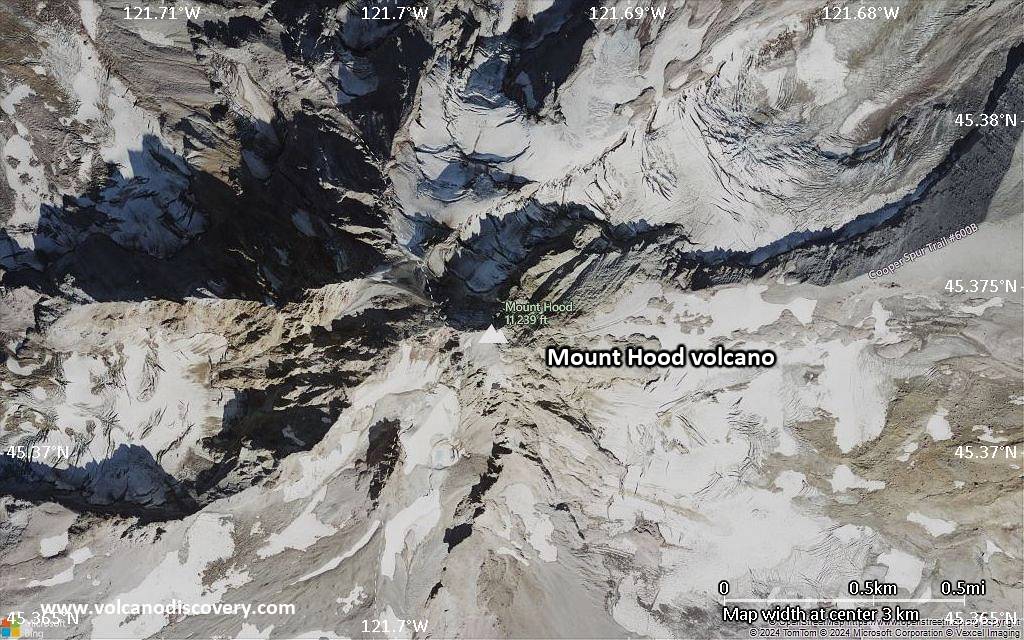
| RSS | EN | DE | EL | ES | FR | IT | RU

Mount Hood Volcano

Updated: May 1, 2025 06:58 GMT -
stratovolcano
Oregon (Canada and USA (mainland)), 45.37°N / -121.7°W
Summit height: 3426 m / 11,240 ft
Current status: normal or dormant (1 out of 5)
Last update: 12 Dec 2021 (earthquake M 3.9)

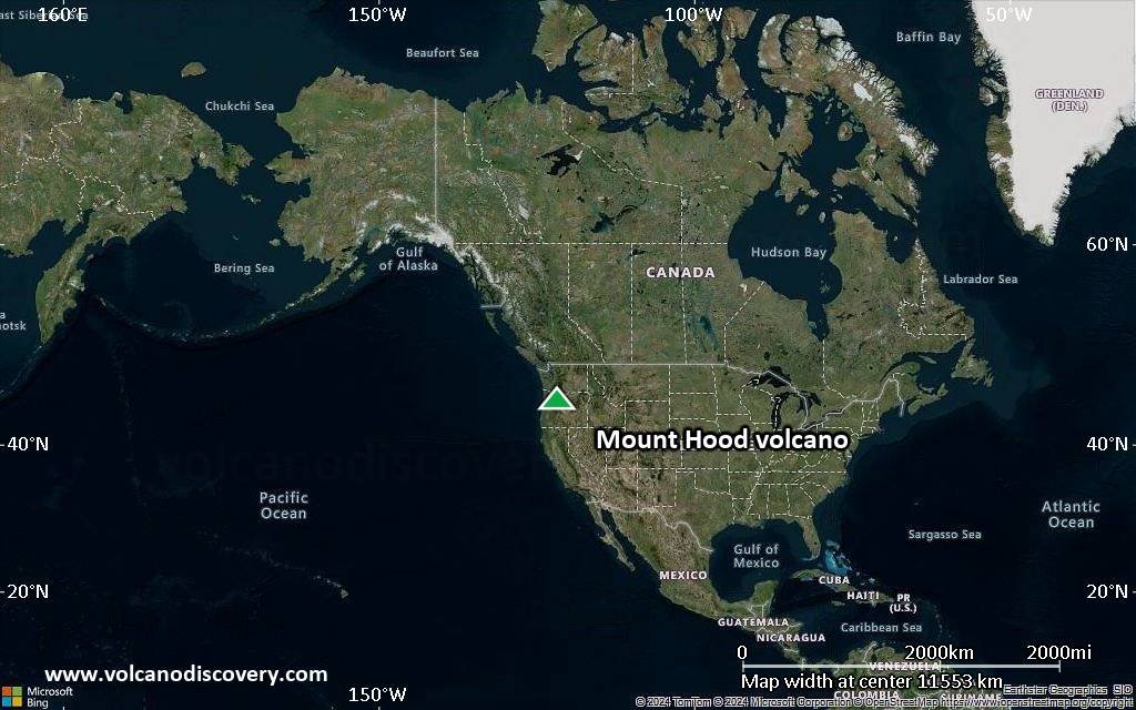
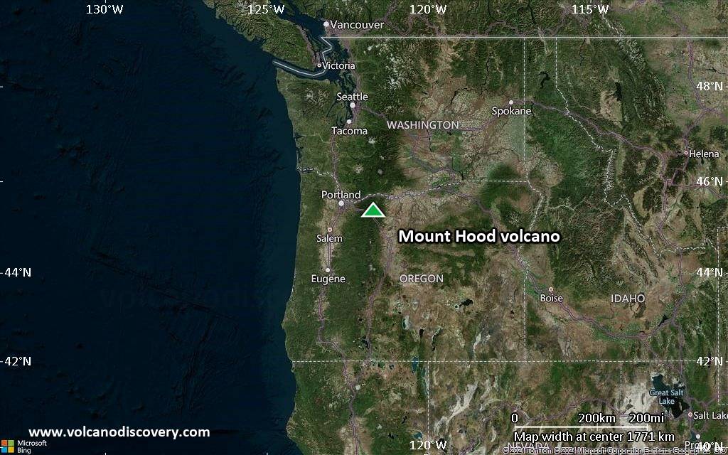
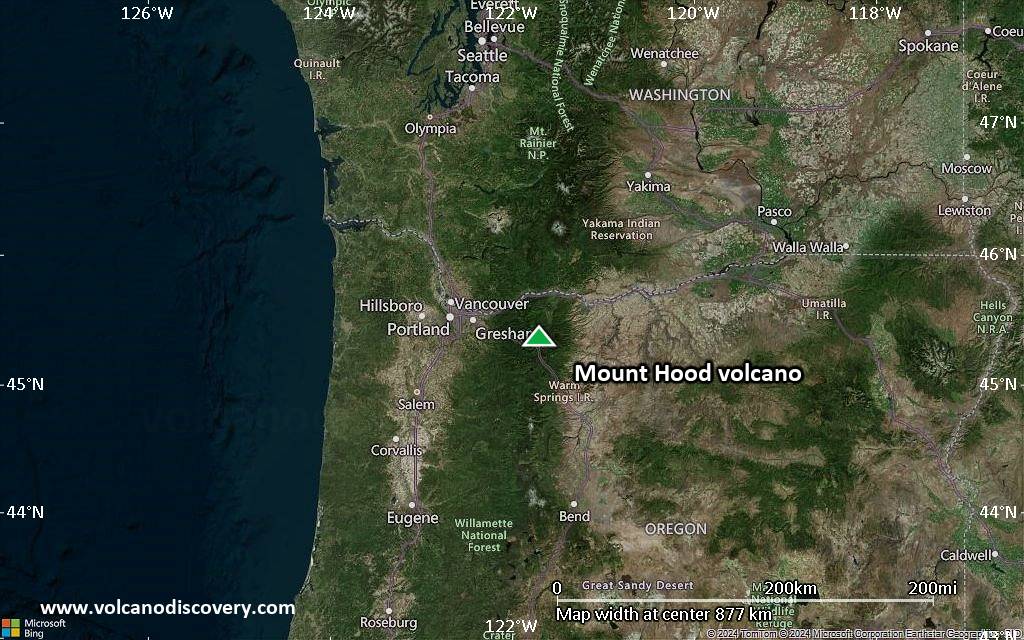
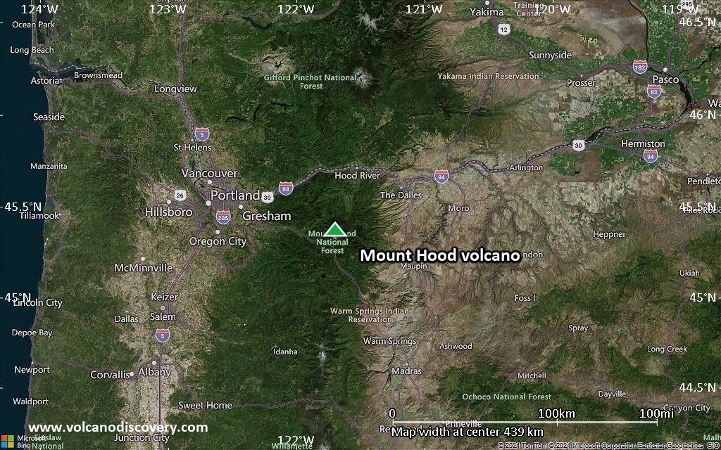
Mt Hood 75 km ESE of Portland is Oregon's highest peak and one of the most prominent of the Cascades volcanoes. It is probably the only volcano in Oregon which has erupted in historic times (last confirmed activity in 1865-66).
Andesite-dacite lava domes form the glacially eroded summit complex.
The main hazard from Mt Hood are posed by pyroclastic flows and mud flows (lahars) in case of an eruption. These would travel downstream river beds radiating from the volcano and threaten communities in this area.
Flank failure and debris avalanche risk:
Scientist also warn that due to heavy alteration of rocks by fumarolic and hydrothermal activity large parts of the upper volcanic edifice are structurally unstable and could be prone to massive slope failure. This would trigger catastrophic debris flows, such as has happened at Mt St. Helens in 1980 and have happened in Mt Hood's geologic past as well. More than 100,000 years ago, a large collapse produced a debris avalanche and lahar that traveled north down the Hood River valley and crossed the Columbia River, and a smaller, but still sizeable event like this repeated itselfa about 1500 years ago.

[smaller] [larger]
Typical eruption style: Explosive
Mount Hood volcano eruptions: 1907(?), 1869(?), 1865-66, 1859, 1854(?), 1853(?), 1795 ± 5 yr, 1765 ± 5, 390 ± 150, 510 AD ± 150, 300 AD ± 200, 4940 BC ± 150

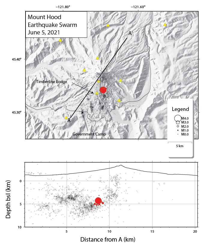
Latest nearby earthquakes

Date and TimeMag / DepthDistance / Location
Apr 30, 05:14 pm (Universal Time)
0.5

6.3 km
11 km (7 mi) to the W 7 km WNW of Government Camp, Oregon Info
Apr 30, 04:43 pm (Universal Time)
0.2

7 km
11 km (6.9 mi) to the W 7 km NW of Government Camp, Oregon Info
Apr 30, 02:13 am (Universal Time)
0.1

4.9 km
4.5 km (2.8 mi) to the W Clackamas County, 34 mi east of Gresham, Multnomah County, Oregon, United States Info
Monday, April 21, 2025 GMT (1 quake)
Apr 21, 06:51 pm (Universal Time)
0.2

0.2 km
0.6 km (0.4 mi) to the E 9 km NE of Government Camp, Oregon Info
Sunday, April 20, 2025 GMT (1 quake)
Apr 20, 06:48 am (GMT -7)
0.7

2.1 km
1.4 km (0.8 mi) to the SW Clackamas County, 30 mi southwest of The Dalles, Wasco County, Oregon, United States Info

Background

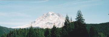
Mt Hood volcano has had at least 4 major eruptive periods during the past 15,000 years. The last three occurred within the past 1800 years from vents high on the SW flank and produced deposits that were distributed primarily to the south and west along the Sandy and Zigzag rivers. The last eruptive period took place around 170-220 years ago, when growth of the Crater Rock lava dome was accompanied by pyroclastic flows and lahars down the White and Sandy rivers. The Sandy River lahar deposits extended to the west as far as the Columbia River and were observed by members of the 1804-1805 Lewis and Clark expedition within a few years of their emplacement. Minor 19th-century eruptions were witnessed from Portland.
About 1,500 years ago, a moderate-size debris avalanche originating on the upper southwest flank of Mount Hood (see photograph) produced a lahar
that flowed down the Zigzag and Sandy River valleys. It swept over the entire valley floor in the Zigzag-Wemme-Wildwood area, and inundated a broad area near Troutdale, where the Sandy flows into the Columbia River—a total distance of about 90 kilometers (55 miles). More than 100,000 years ago, a much larger debris avalanche and related lahar flowed down the Hood River, crossed the Columbia River, and flowed several kilometers up the White Salmon River on the Washington side. Its deposit must have dammed the Columbia River at least temporarily.
---
Sources:
GVP Mt Hood information
VOLCANO HAZARDS IN THE MOUNT HOOD REGION, OREGON USGS Open File Report 97-89

Mount Hood Volcano Photos

Significant volcanic eruptions: Mount Hood volcano

In the past 10,000 years, Mount Hood has had at least 5 confirmed volcanic eruptions, out of which 2 are documented by historical records, while the others can be inferred from geological evidence.
Additionally, there are 4 uncertain or discredited eruptions from Mount Hood volcano.
The table below lists all known eruptions (date in bold face) of Mount Hood volcano in historic times and during the past 10,000 years. Updates on the most recent volcanic activity of Mount Hood can be found on the news page of Mount Hood volcano.
DateNoteVEIDeathsDamage
1980 Dec 25
(eruptive episode 1980 Dec 25)
Historical obs./docs.
01
Info
1934
(eruptive episode 1934)
Historical obs./docs.
01
Info
1907 Aug 28
Discredited Eruption
?? 1869
Uncertain Eruption
?
1865 Sep 21 - 1866 Jan
Historical obs./docs.
2
1859 Aug 15 - Aug 17
Historical obs./docs.
2
?? 1854 Aug
Uncertain Eruption
?
?? 1853
Uncertain Eruption
?
1781 Oct 15 ±45 d. - 1801 ?Crater Rock?
480 ±37 y. ADCrater Rock?
4940 ±150 y. BCLower NE flank (SSW of Parkdale)2
Remark:
Our list of volcanic eruptions closely follows the database of eruptions of the Smithsonian's Global Volcanism Project (GVP), the internationally most recognized data source for volcanic eruptions, but also includes significant eruptive episodes or related volcano events. "Volcanic eruptions" are usually to be understood as sequences of individual eruptive episodes that can follow each other, or even overlap (if several vents are involved), and can last many years, decades or even longer. For example, the current activity of Stromboli volcano is understood as a single eruption that has been ongoing since 1934.
Sources: NOAA National Centers for Environmental Information (NCEI), Global Significant Volcanic Eruptions Database. doi:10.7289/V5TD9V7K | Global Volcanism Project / Smithsonian Institution

Mount Hood Volcano FAQ

+When was the last eruption of Mount Hood volcano?

+How often does Mount Hood volcano erupt?

+When was the largest eruption of Mount Hood volcano?

Latest satellite images

MountHood satellite image sat1MountHood satellite image sat2

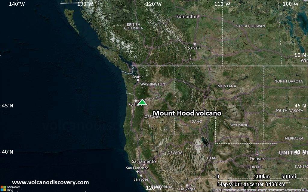
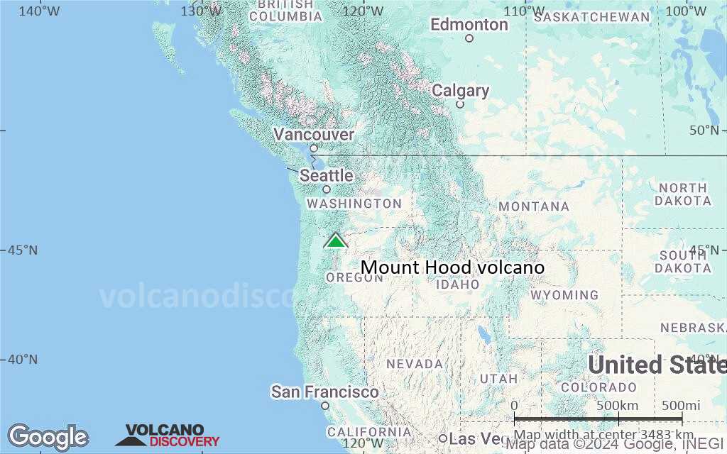
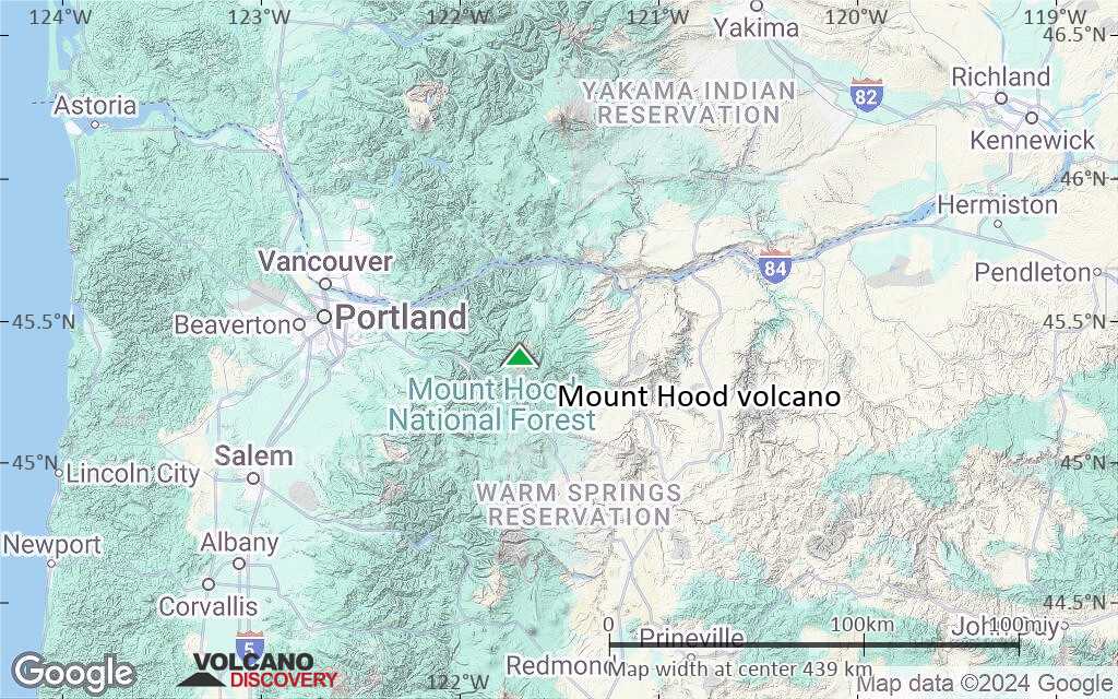
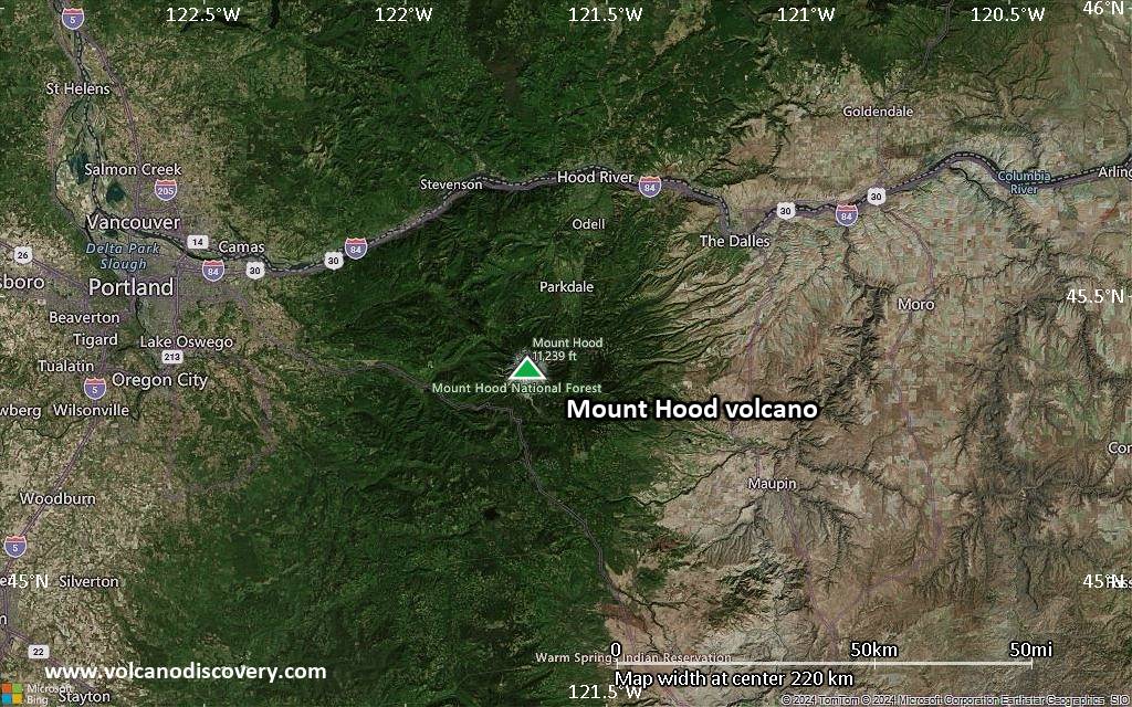
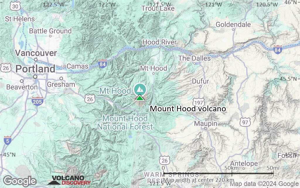
Mount Hood Volcano Maps

Below is a selection of maps showing the location and surroundings of the volcano at various resolutions based on aerial-imagery / terrain maps. Feel free to use them for non-commercial purposes on your blog or website as long as you credit them with a link back to this page (click to copy it).
Satellite/aerial-type map of Mount Hood volcano (world scale)
Terrain-type map of Mount Hood volcano (world scale)
Satellite/aerial-type map of Mount Hood volcano (region scale large)
Terrain-type map of Mount Hood volcano (region scale large)
Satellite/aerial-type map of Mount Hood volcano (region scale medium)
Terrain-type map of Mount Hood volcano (region scale medium)
Satellite/aerial-type map of Mount Hood volcano (region scale small)
Terrain-type map of Mount Hood volcano (region scale small)
Satellite/aerial-type map of Mount Hood volcano (local scale large)
Terrain-type map of Mount Hood volcano (local scale large)
Satellite/aerial-type map of Mount Hood volcano (local scale medium)
Terrain-type map of Mount Hood volcano (local scale medium)
Satellite/aerial-type map of Mount Hood volcano (local scale small)
Terrain-type map of Mount Hood volcano (local scale small)
Satellite/aerial-type map of Mount Hood volcano (scale of 10s of km)
Terrain-type map of Mount Hood volcano (scale of 10s of km)
Satellite/aerial-type map of Mount Hood volcano (scale of 20-40 km)
Terrain-type map of Mount Hood volcano (scale of 20-40 km)
Satellite/aerial-type map of Mount Hood volcano (scale of approx. 10-20 km)
Terrain-type map of Mount Hood volcano (scale of approx. 10-20 km)
Satellite/aerial-type map of Mount Hood volcano (scale of 5-10 km)
Satellite/aerial-type map of Mount Hood volcano (scale of few kilometers)
Volcanoes & Earthquakes - new app for Android
Guaranteed tours
9-25 Jun 2025: Volcanoes and Spices - Sulawesi/Halmahera (Indonesia)
7-22 Jul 2025: From Krakatau to Bali - Java (Indonesia)
7-23 Jul 2025: Volcanoes and Spices - Sulawesi/Halmahera (Indonesia)
1-17 Aug 2025: Volcanoes and Spices - Sulawesi/Halmahera (Indonesia)
1-14 Oct 2025: Desert, salt and volcanoes - Danakil desert (Ethiopia)
4-12 Oct 2025: From Stromboli to Etna - Sicily and Eolian Islands (Italy)
6-21 Oct 2025: From Krakatau to Bali - Java (Indonesia)
3-19 Nov 2025: Volcanoes and Spices - Sulawesi/Halmahera (Indonesia)
= spaces available   = guaranteed   = few spaces left   = booked out
Summary of Mt Hood's geologic history (from the USGS Open-File Report 97-89)
Tue, 8 Jun 2021, 16:10

Mount Hood volcano (Oregon, USA): earthquake M 3.9

Earthquakes from 5 June shown with red circles, yellow triangles are seismic stations (image: CVO)
On 5 June at 20:51 local time, the Cascade Volcano Observatory's (CVO) seismic network detected a volcano-tectonic earthquake with magnitude M 3.9 that occurred about 4 km south of the summit at 4.3 km depth. ... Read all
Wed, 26 Jun 2002, 06:00

Hood volcano (United States) - Smithsonian / USGS Weekly Volcanic Activity Report for 26 June-2 July 2002 (New Activity / Unrest)

CVO reported that the strongest earthquake in the Mount Hood area in decades occurred on 29 June at 0736. The widely felt M 4.5 event was located ~4.5 km S of the summit at a depth of 6 km. Hundreds of aftershocks followed, including two greater than M 3. ... Read all

On this page:

Try our free app!
Volcanoes & Earthquakes - new app for Android
Android | iOS version

More on VolcanoDiscovery

Why is there advertising on this site?

Support us - Help us upgrade our services!

We truly love working to bring you the latest volcano and earthquake data from around the world. Maintaining our website and our free apps does require, however, considerable time and resources.
We need financing to increase hard- and software capacity as well as support our editor team. We're aiming to achieve uninterrupted service wherever an earthquake or volcano eruption unfolds, and your donations can make it happen! Every donation will be highly appreciated. If you find the information useful and would like to support our team in integrating further features, write great content, and in upgrading our soft- and hardware, please make a donation (PayPal).

Planned features:Thanks to your past donations, these features have been added recently:
Download and Upgrade the Volcanoes & Earthquakes app to get one of the fastest seismic and volcano alerts online:
Android | IOS
Thank you!
Sources: VolcanoDiscovery / VolcanoAdventures and other sources as noted.
Use of material: Most text and images on our websites are owned by us. Re-use is generally not permitted without authorization. Contact us for licensing rights.
Volcanoes & Earthquakes
VolcanoDiscovery Home
Volcanoes | Earthquakes | Photos | Volcano News | | Shop | App
Adventure & Study Travel
Tours to Volcanoes and Volcanic Areas: walking tours, photo tours, study tours
Tours & Dates | FAQ | About us
Get our newsletter!
Company info
Contact | Legal info | Terms & conditions
Follow us
Follow us on facebook Follow us on Instagram Follow us on Bluesky Follow us on Twitter Visit our Youtube channel
EN | DE | EL | ES | FR | IT | RU
VolcanoDiscovery GmbH, Germany, Reg. nr.: HRB 103744, EU Tax Id: DE 297 465 123 owned and created by
Dr. Tom Pfeiffer, volcanologist, volcano photographer, tour organizer member of
IAVCEI
IAVCEI
Vulkanologische Gesellschaft
Volcanological Society
Ecotourism Greece
Ecotourism Greece
RUV insurance
Insured by R+V
VolcanoDiscovery © 2004- All Rights Reserved | Privacy - Cookie Settings