Isanotski Volcano
Updated: Apr 30, 2024 00:25 GMT -
Stratovolcano 2446 m / 8,025 ft
United States, Aleutian Islands, 54.77°N / -163.72°W
Current status: normal or dormant (1 out of 5)
United States, Aleutian Islands, 54.77°N / -163.72°W
Current status: normal or dormant (1 out of 5)
[smaller] [larger]
Isanotski volcano eruptions: unknown, no recent eruptions
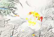
Latest nearby earthquakes
| Time | Mag. / Depth | Distance / Location | |||
| Apr 29, 04:24 am (Anchorage) | 1.6 15 km | 22 km (14 mi) to the SE | Info | ||
| Sunday, April 28, 2024 GMT (1 quake) | |||||
| Apr 27, 05:35 pm (Anchorage) | 2.2 5.1 km | 17 km (10.6 mi) to the SE | Info | ||
| Friday, April 26, 2024 GMT (1 quake) | |||||
| Apr 26, 01:43 pm (Anchorage) | 0.6 0.1 km | Info | |||
| Friday, April 19, 2024 GMT (2 quakes) | |||||
| Apr 19, 01:55 am (Anchorage) | 0.8 8 km | Info | |||
| Apr 18, 11:22 pm (Anchorage) | 1.9 11 km | 28 km (18 mi) to the SE | Info | ||
| Wednesday, April 17, 2024 GMT (1 quake) | |||||
| Apr 16, 11:24 pm (Anchorage) | 1.8 12 km | 28 km (18 mi) to the SE | Info | ||
Background
Rugged pinnacles form the summit of the deeply eroded Isanotski stratovolcano, locally known as Ragged Jack. Isanotski is at the center of an E-W-trending group of three volcanoes on eastern Unimak Island. Four poorly documented historical eruptions were noted in the 18th and 19th centuries. However, Miller et al. (1998) considered that some or all of these eruptions could have been from neighboring Shishaldin volcano and that historical eruptions of Isanotski must be considered unlikely, given the extreme degree of erosional dissection.---
Smithsonian / GVP volcano information
Isanotski Volcano Photos
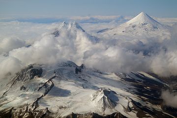
The chain of volcanoes on Unimak, from left to right: Roundtop Mountain, Isanotski, Pogromni and Shishaldin. (Photo: marcofulle)
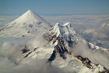
Whereas Shishaldin is a superb example of a young, symmetric stratovolcano, the much older Isanotski is irregular and deeply eroded. (Photo: marcofulle)
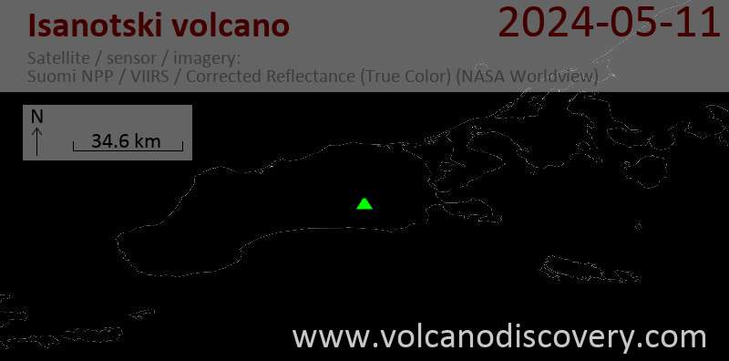
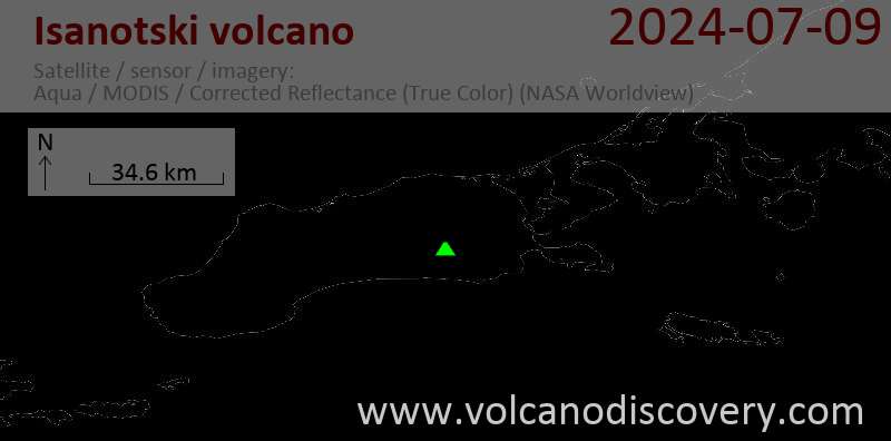
Latest satellite images