Jailolo Volcano
Updated: May 21, 2025 13:35 GMT -
stratovolcano
Halmahera (Indonesia), 1.08°N / 127.42°E 
Summit height: 1130 m / 3,707 ft
Current status: normal or dormant (1 out of 5)
Jailolo stratovolcano is in the center of a volcanic complex forming a peninsula west of Jailolo Bay on the western coast of Halmahera Island. Jailolo stratovolcano has not erupted in historic times, but there are young lava flows on the eastern flank.
[smaller] [larger]
Jailolo volcano eruptions: none in historic times
Latest nearby earthquakes
| Date and Time | Mag / Depth | Distance / Location | |||
|---|---|---|---|---|---|
| May 10, 11:26 pm (Universal Time) | 2.3 10 km | 22 km (14 mi) to the SW | Info | ||
Background
Small calderas exist on the SW side of the volcano. The westernmost caldera, Idamdehe, cuts an older volcanic edifice preceding Jailolo. There are hot springs on the NW coast of the caldera and hot mudflows were reported shortly before 1883. Another part of the volcanic edifice, Kailupa cone forms a small volcanic island off the southern coast of the peninsula.Source: GVP
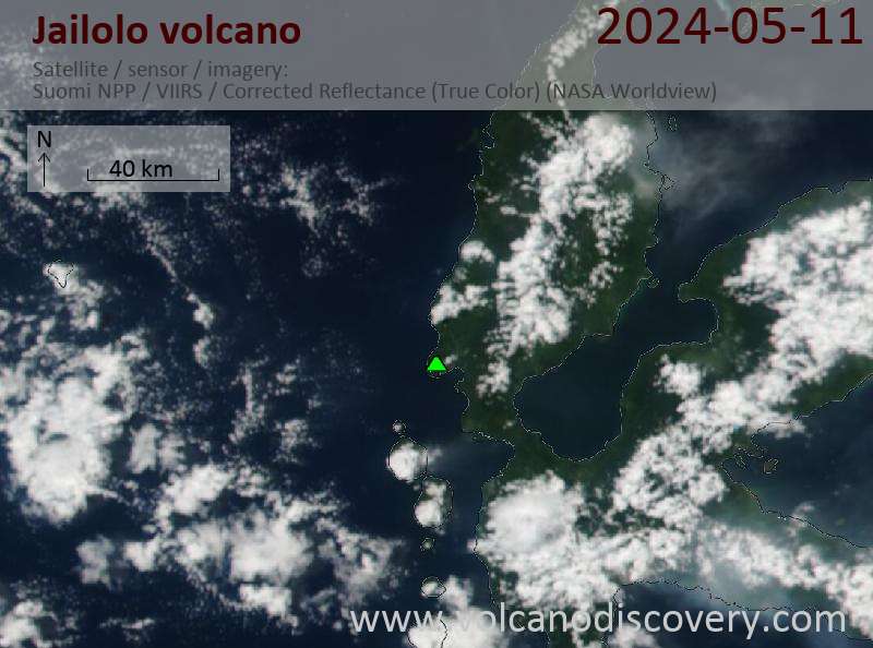
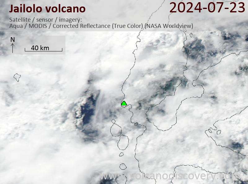
Latest satellite images
Jailolo Volcano Maps
Below is a selection of maps showing the location and surroundings of the volcano at various resolutions based on aerial-imagery / terrain maps. Feel free to use them for non-commercial purposes on your blog or website as long as you credit them with a link back to this page (click to copy it).

Satellite/aerial-type map of Jailolo volcano (world scale)

Terrain-type map of Jailolo volcano (world scale)

Satellite/aerial-type map of Jailolo volcano (region scale large)

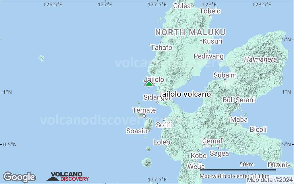
Terrain-type map of Jailolo volcano (region scale large)

Satellite/aerial-type map of Jailolo volcano (region scale medium)

Terrain-type map of Jailolo volcano (region scale medium)

Satellite/aerial-type map of Jailolo volcano (region scale small)

Terrain-type map of Jailolo volcano (region scale small)

Satellite/aerial-type map of Jailolo volcano (local scale large)

Terrain-type map of Jailolo volcano (local scale large)

Satellite/aerial-type map of Jailolo volcano (local scale medium)
Terrain-type map of Jailolo volcano (local scale medium)

Satellite/aerial-type map of Jailolo volcano (local scale small)

Terrain-type map of Jailolo volcano (local scale small)

Satellite/aerial-type map of Jailolo volcano (scale of 10s of km)

Terrain-type map of Jailolo volcano (scale of 10s of km)

Satellite/aerial-type map of Jailolo volcano (scale of 20-40 km)

Terrain-type map of Jailolo volcano (scale of 20-40 km)

Satellite/aerial-type map of Jailolo volcano (scale of approx. 10-20 km)

Terrain-type map of Jailolo volcano (scale of approx. 10-20 km)

Satellite/aerial-type map of Jailolo volcano (scale of 5-10 km)

Satellite/aerial-type map of Jailolo volcano (scale of few kilometers)