


Kahoolawe Volcano
Updated: Nov 7, 2025 00:52 GMT -
Shield
Hawaiian Islands, United States, 20.57°N / -156.57°W 
Summit height: 450 m / 1476 ft
Current status: (probably) extinct (0 out of 5)
[smaller] [larger]
Kahoolawe volcano eruptions: None during the past 10,000 years
Less than few million years ago (Pleistocene)
Latest nearby earthquakes
| Date and Time | Mag / Depth | Distance / Location | |||
|---|---|---|---|---|---|
Background
The uninhabited island of Kahoolawe, SW of the island of Maui, consists of a broad, low basaltic shield volcano formed by Pleistocene eruptions along a rift zone that extends SW from a buried, 5-km-wide caldera at the eastern side of the island. The eastern rim of the caldera lies beneath the waters of Kanapou Bay. Two less prominent rift zones trend to the east and north. Much of the island is truncated by steep sea cliffs that expose the thin lava flows making up the volcano. Stearns (1946) and Macdonald and Abbott (1970) considered cinder cones within the caldera on the west side of Kanapou Bay to be of Holocene age, but this age was considered probably too young by Langenheim and Clague (1987), who mapped the cones as Pleistocene or Holocene. Sano et al. (2006) obtained K-Ar dates on the youngest flows of 900,000 to 980,000 years Before Present.---
Source: Smithsonian / GVP volcano information
Latest satellite images
Kahoolawe Volcano Maps
Below is a selection of maps showing the location and surroundings of the volcano at various resolutions based on aerial-imagery / terrain maps. Feel free to use them for non-commercial purposes on your blog or website as long as you credit them with a link back to this page (click to copy it).
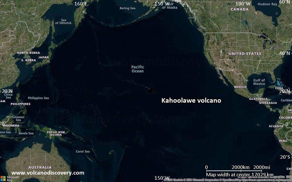
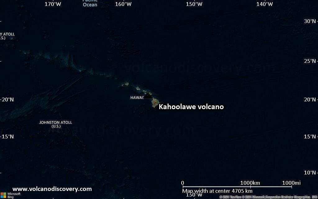
Satellite/aerial-type map of Kahoolawe volcano (world scale)
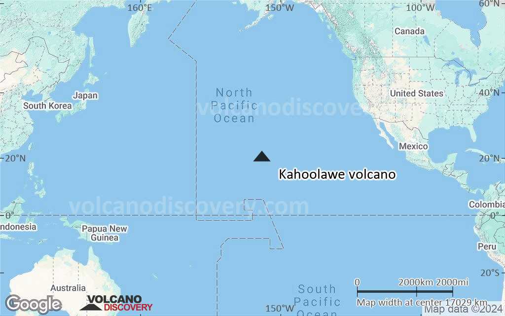
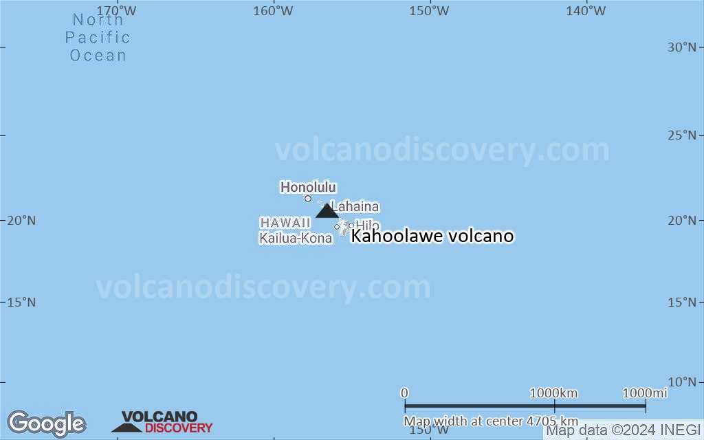
Terrain-type map of Kahoolawe volcano (world scale)
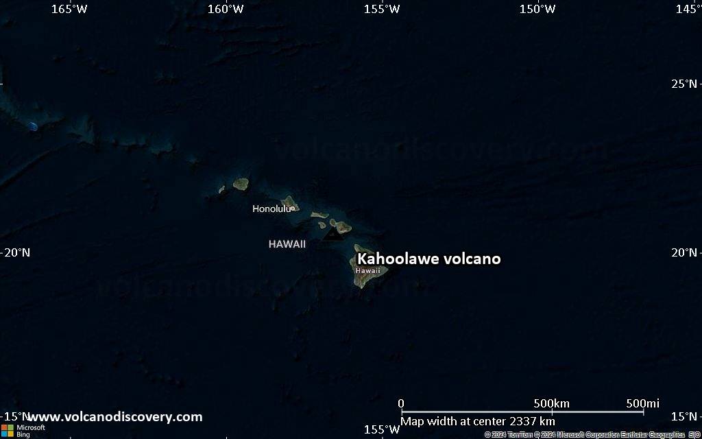
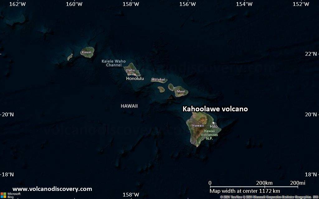
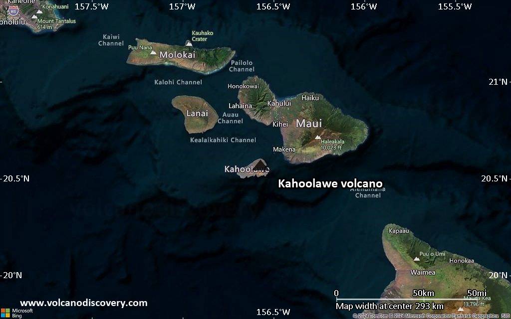
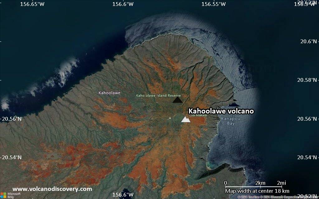
Satellite/aerial-type map of Kahoolawe volcano (region scale large)
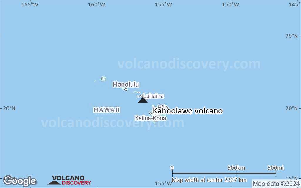
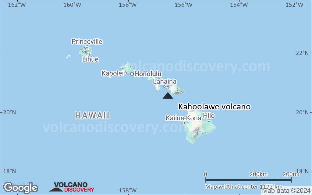
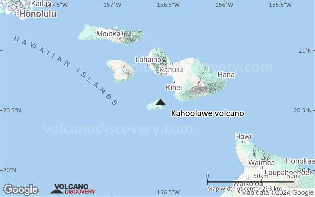
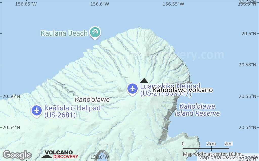
Terrain-type map of Kahoolawe volcano (region scale large)
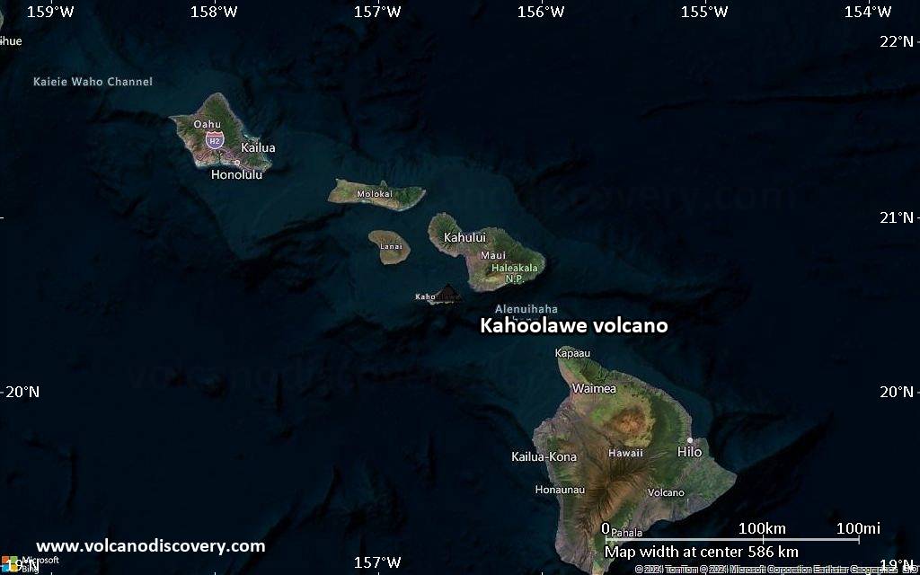
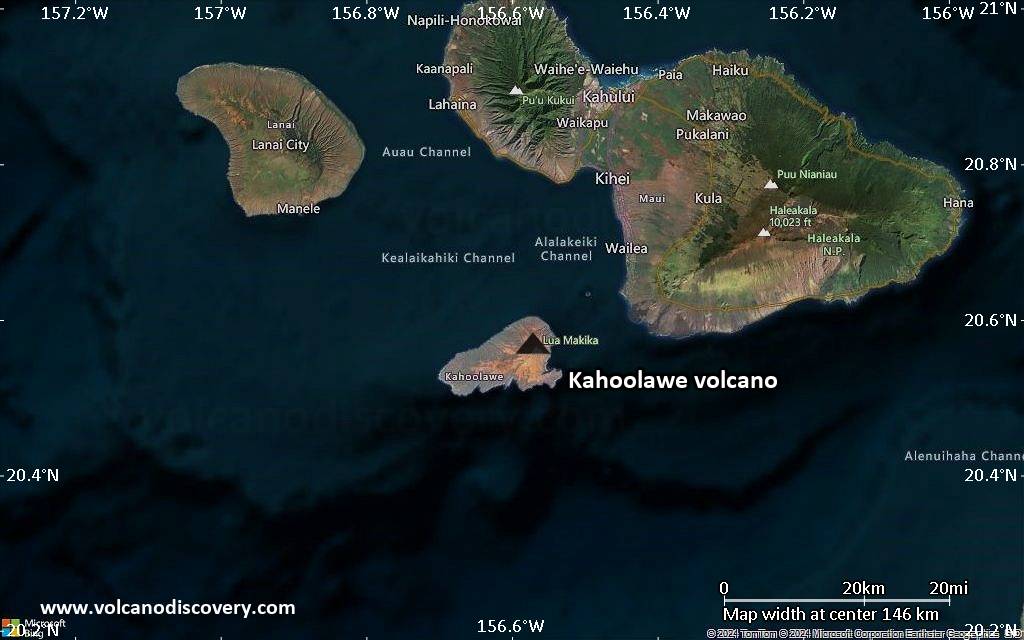
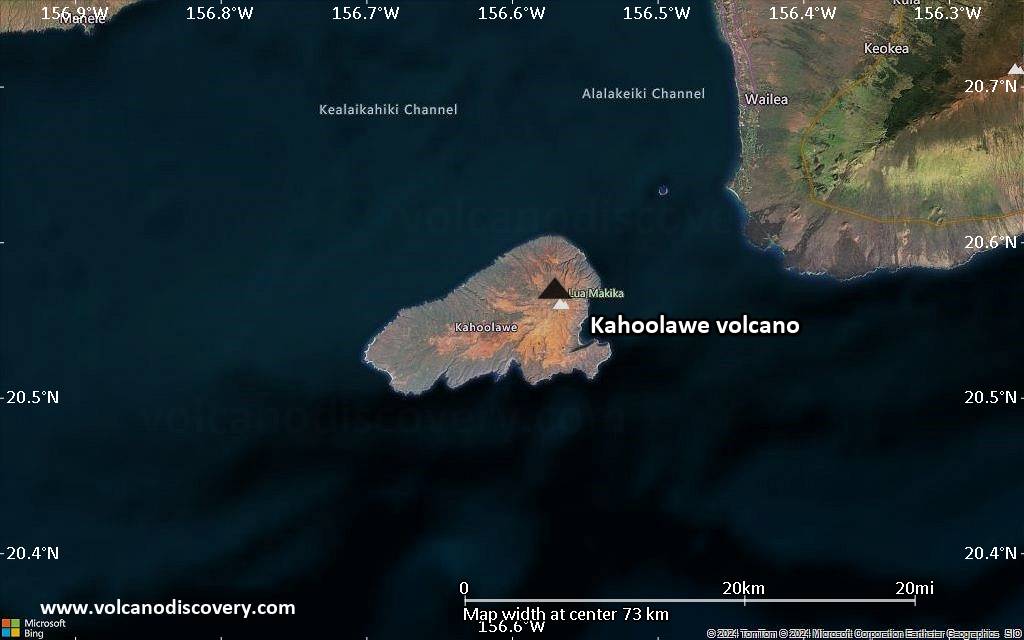
Satellite/aerial-type map of Kahoolawe volcano (region scale medium)
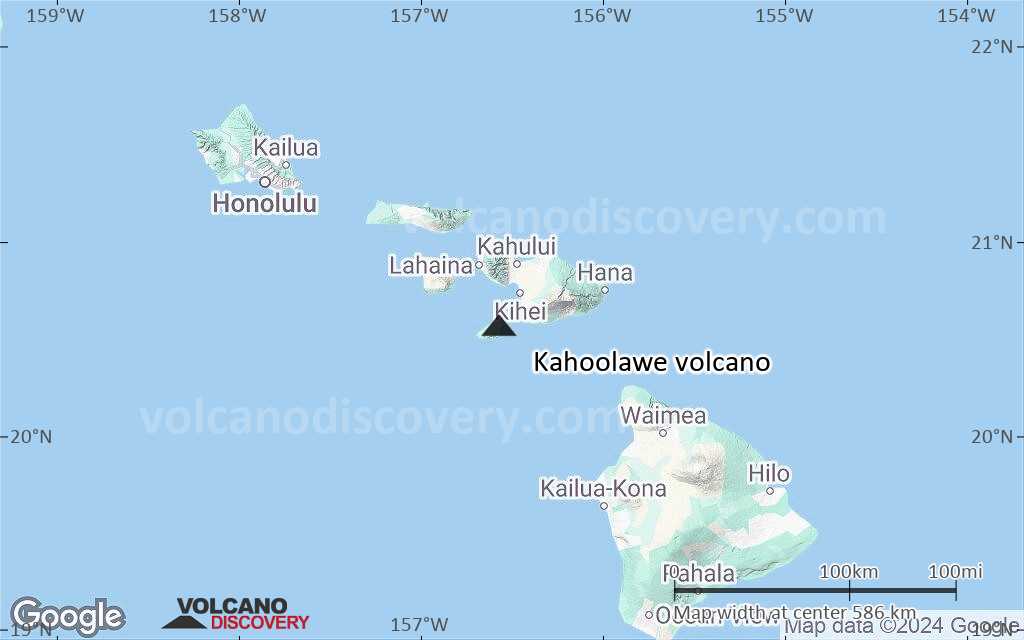
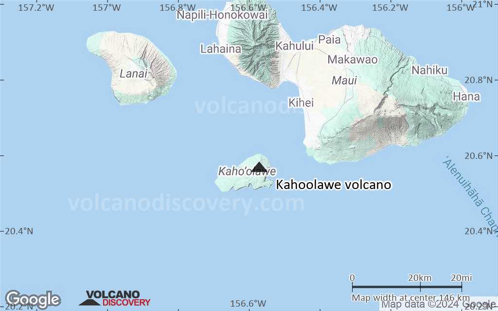
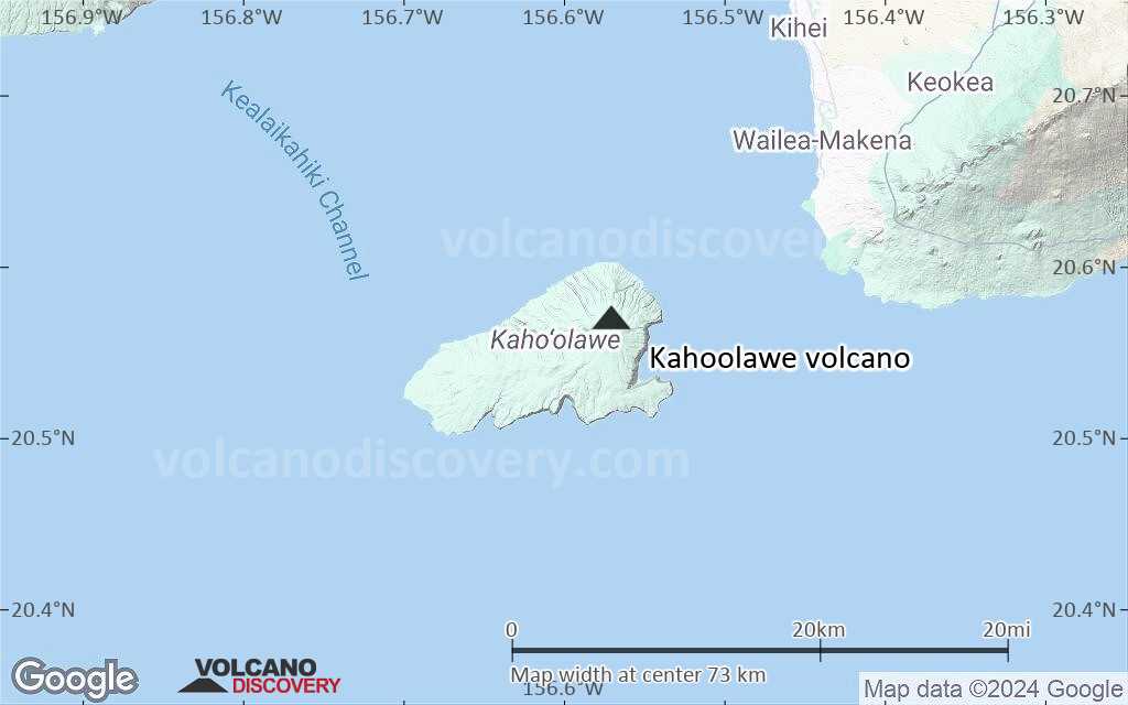
Terrain-type map of Kahoolawe volcano (region scale medium)
Satellite/aerial-type map of Kahoolawe volcano (region scale small)
Terrain-type map of Kahoolawe volcano (region scale small)
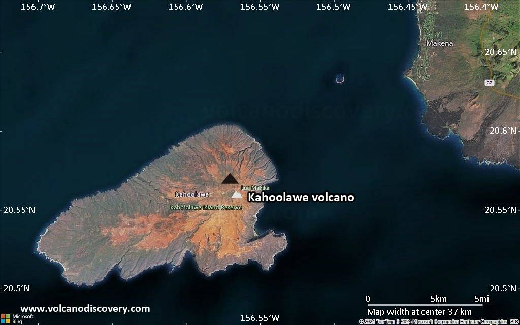
Satellite/aerial-type map of Kahoolawe volcano (local scale large)
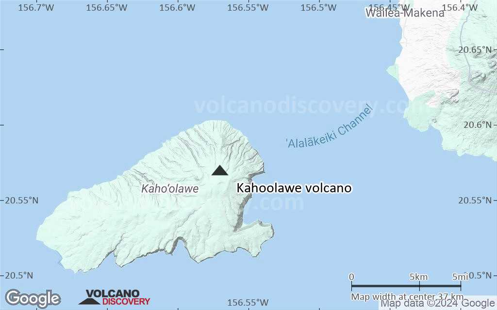
Terrain-type map of Kahoolawe volcano (local scale large)
Satellite/aerial-type map of Kahoolawe volcano (local scale medium)
Terrain-type map of Kahoolawe volcano (local scale medium)
Satellite/aerial-type map of Kahoolawe volcano (local scale small)
Terrain-type map of Kahoolawe volcano (local scale small)
Satellite/aerial-type map of Kahoolawe volcano (scale of 10s of km)
Terrain-type map of Kahoolawe volcano (scale of 10s of km)
Satellite/aerial-type map of Kahoolawe volcano (scale of 20-40 km)
Terrain-type map of Kahoolawe volcano (scale of 20-40 km)
Satellite/aerial-type map of Kahoolawe volcano (scale of approx. 10-20 km)
Terrain-type map of Kahoolawe volcano (scale of approx. 10-20 km)
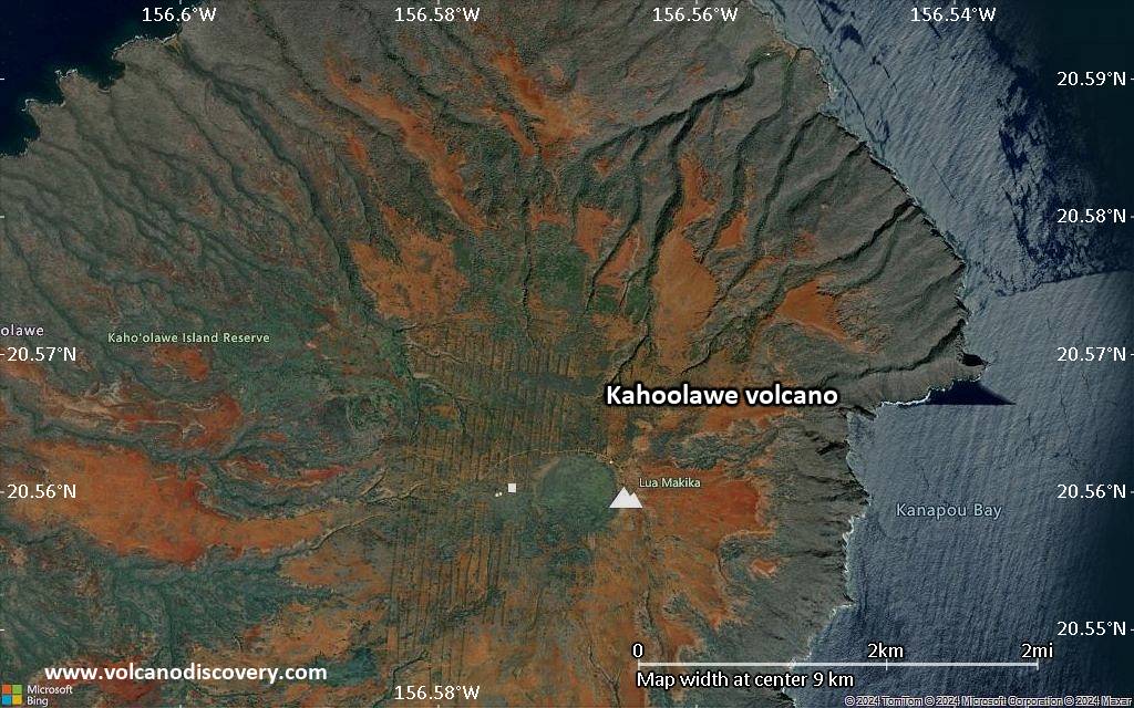
Satellite/aerial-type map of Kahoolawe volcano (scale of 5-10 km)
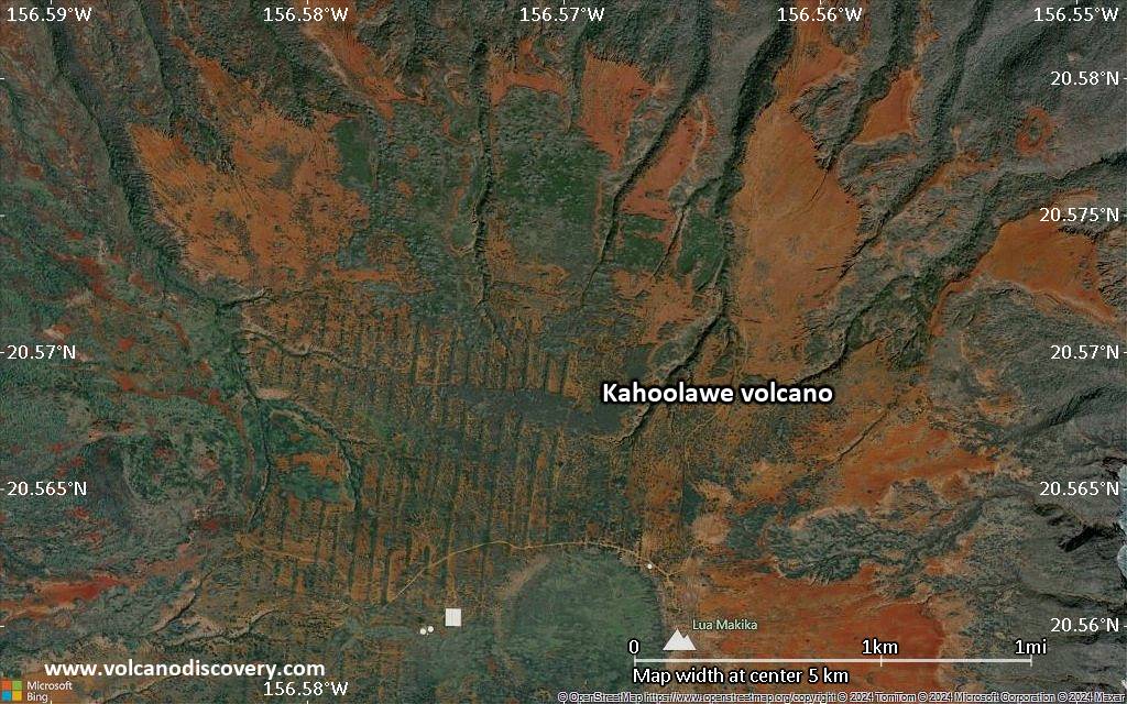
Satellite/aerial-type map of Kahoolawe volcano (scale of few kilometers)


