Karai (Sulu Range) Volcano
Updated: Apr 28, 2024 11:38 GMT -
stratovolcanoes 610 m / 2,001 feet (Mt. Malopu) (Karai cone: 565 m)
New Britain Island (Papua New Guinea), -5.5°S / 150.94°E
Current status: normal or dormant (1 out of 5)
New Britain Island (Papua New Guinea), -5.5°S / 150.94°E
Current status: normal or dormant (1 out of 5)
Last update: 10 Dec 2021 (Smithsonian / USGS Weekly Volcanic Activity Report)
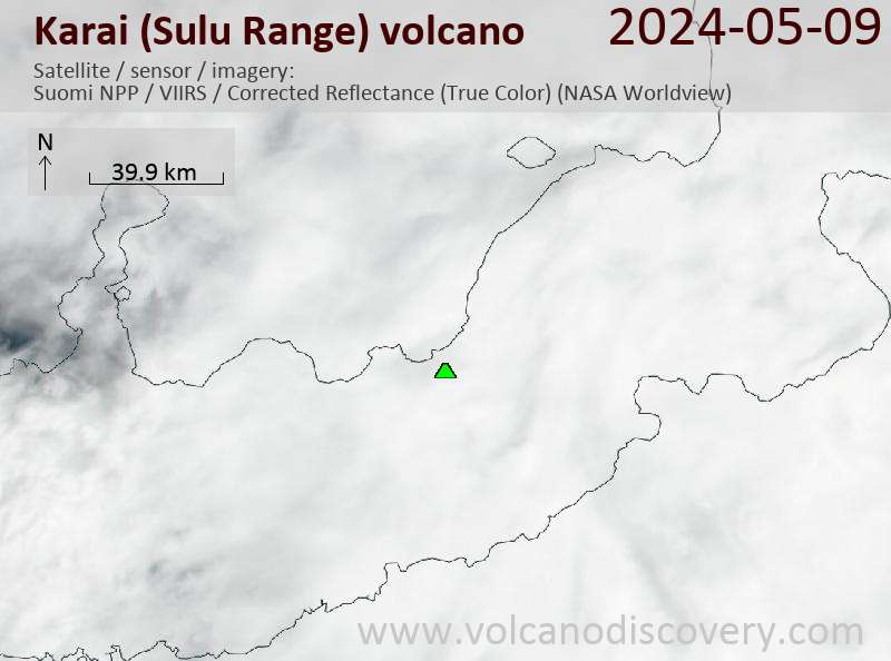
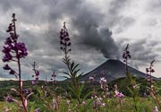
Karai volcano is the highest volcano in the Sulu Range in north-central New Britain off Bangula Bay.
The Sulu Range consists of a cluster of partially overlapping small stratovolcanoes and lava domes.
There are no historic eruptions, but in 2006, a vigorous new fumarolic vent opened, preceded by vegetation die-off, seismic swarms and landslides.
[smaller] [larger]
Karai (Sulu Range) volcano eruptions: none in recent times
(2006: steam emissions caused by probably shallow intrusion)
Latest nearby earthquakes
| Time | Mag. / Depth | Distance / Location | |||
Background
The 610-m Mount Malopu at the southern end forms the high point of the basaltic-to-rhyolitic complex. Kaiamu maar forms a peninsula with a small lake extending about 1 km into Bangula Bay at the NW side of the Sulu Range. The Walo hydrothermal area, consisting of solfataras and mud pots, lies on the coastal plain west of the SW base of the Sulu Range.No historical eruptions are known from the Sulu Range, although some of the cones display a relatively undissected morphology.
(Smithsonian GVP volcano information)
Eruptions of Karai (Sulu Range) volcano
2006 activity - phreatic explosions and steam emissions accompanied by intense seismicity
Eruptions at Karai volcano in Papua New Guinea were reported in July 2006. The eruption was said to have taken place 2 km SW of Mount Karai between Ubia and Ululu volcanoes. This would have been the first historical activity recorded at the volcano. However, field investigations revealed that no magma reached the surface, and that the explosions were forceful steam emissions or weak phreatic explosions. ...more info
Eruptions at Karai volcano in Papua New Guinea were reported in July 2006. The eruption was said to have taken place 2 km SW of Mount Karai between Ubia and Ululu volcanoes. This would have been the first historical activity recorded at the volcano. However, field investigations revealed that no magma reached the surface, and that the explosions were forceful steam emissions or weak phreatic explosions. ...more info


