


Katmai Volcano
Updated: Nov 29, 2025 16:36 GMT -
Stratovolcano with central caldera
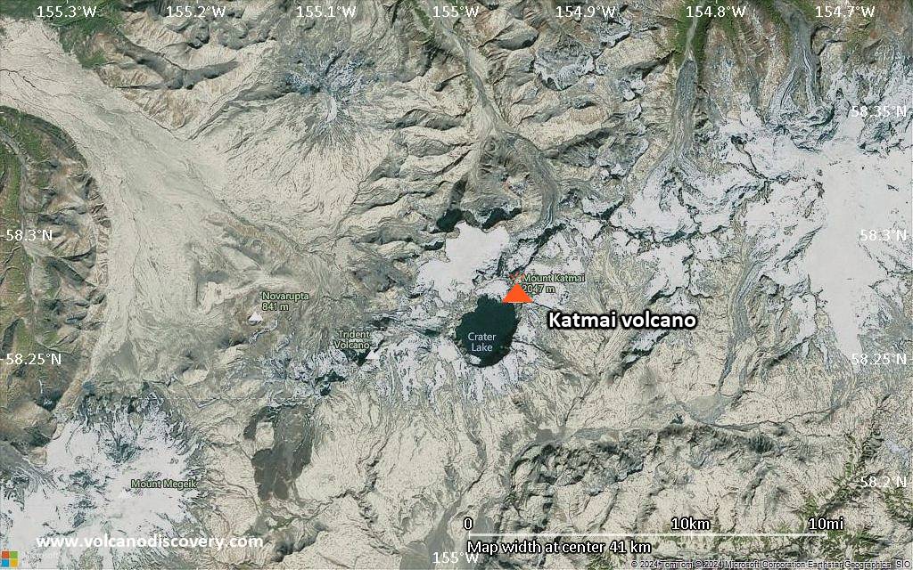
Alaska Peninsula, USA, 58.28°N / -154.95°W 
Summit height: 2047 m / 6716 ft
Current status: minor activity or eruption warning (3 out of 5)
Last update: 1 Oct 2025 (Smithsonian / USGS Weekly Volcanic Activity Report)
A large stratovolcano in Alaska, near the Novarupta vent, that erupted in 1912 with the largest volcanic eruption in the 20th century, 10 times the size of the 1980 eruption of Mt. St. Helens.
[smaller] [larger]
Katmai volcano eruptions: 1912 (Plinian eruption: the largest in the 20th century!)
Latest nearby earthquakes
| Date and Time | Mag / Depth | Distance / Location | |||
|---|---|---|---|---|---|
| Nov 29, 07:44 am (Universal Time) | 0.7 5 km | 0.9 km (0.6 mi) to the E | Info | ||
| Nov 29, 07:39 am (Universal Time) | 1.0 5 km | 6.7 km (4.1 mi) to the SW | Info | ||
| Friday, November 28, 2025 GMT (6 quakes) | |||||
| Nov 28, 08:47 am (Universal Time) | 1.0 5 km | 1.5 km (0.9 mi) to the S | Info | ||
| Nov 27, 09:29 pm (GMT -9) | 0.5 5 km | 26 km (16 mi) to the SW | Info | ||
| Nov 28, 06:10 am (Universal Time) | 2.3 4.4 km | 26 km (16 mi) to the SW | Info | ||
| Nov 28, 06:07 am (Universal Time) | 2.4 2.4 km | 25 km (16 mi) to the SW | Info | ||
| Nov 28, 06:01 am (Universal Time) | 2.3 1 km | 26 km (16 mi) to the SW | Info | ||
| Nov 28, 01:06 am (Universal Time) | 1.5 4.9 km | 11 km (6.9 mi) to the W | Info | ||
| Tuesday, November 25, 2025 GMT (1 quake) | |||||
| Nov 25, 05:50 pm (Universal Time) | 1.3 1.6 km | 26 km (16 mi) to the SW | Info | ||
Background
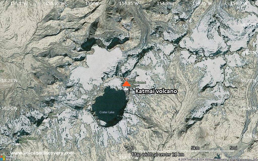
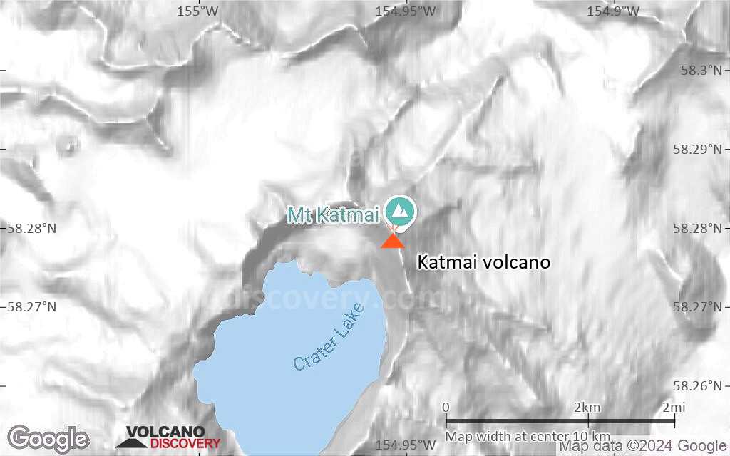
Katmai volcano is a large stratovolcano about 10 km in diameter with a central lake-filled caldera whose rim is about 4.2 by 2.5 km in area. The caldera rim has a maximum elevation of 2047 m and in 1975 the lake surface was at an elevation of about 1236 m. The estimated elevation of the caldera floor is about 995 m.The volcano is one of five stratovolcanoes near the Novarupta dome, which was the source of the large Plinian eruption in 1912. The eruption produced voluminous pyroclastic flows and counts as the largest eruption in the 20th century.
Much of the volcano is mantled by snow and ice and several valley glaciers radiate out from the flanks and three glaciers originating from the upper caldera walls descend into the crater to the lake
Katmai volcano is built on the sedimentary rocks of the Naknek Formation of Late Jurassic age, which are exposed just west of the caldera rim at an elevation of about 1520 m, as well as north and southeast of the crater.
(from: Alaska Volcano Observatory's website).
The June 1912 eruption of Novarupta Volcano altered the Katmai area dramatically. Severe earthquakes rocked the area for a week before Novarupta exploded with cataclysmic force. Enormous quantities of hot, glowing pumice and ash were ejected from Novarupta and nearby fissures. This material flowed over the terrain, destroying all life in its path. Trees up slope were snapped off and carbonized by the blasts of hot wind and gas. For several days ash, pumice, and gas were ejected and a haze darkened the sky over most of the Northern Hemisphere. When it was over, more than 40 square miles of lush green land lay buried beneath volcanic deposits as much as 700 feet deep. At nearby Kodiak, for two days a person could not see a lantern held at arm's length. Acid rain caused clothes to disintegrate on clotheslines in distant Vancouver, Canada. The eruption was ten times more forceful than the 1980 eruption of Mount St. Helens. In the valleys of Knife Creek and the Ukak River, innumerable small holes and cracks developed in the volcanic ash deposits, permitting gas and steam from the heated groundwater to escape. It was an apparently unnamed valley whehn the 20th century's most dramatic volcanic episode took place. Robert Griggs, exploring the volcano's aftermath for the National Geographic Society in 1916, stared awestruck off Katmai Pass across the valley's roaring landscape riddled by thousands of steam vents. The Valley of Ten Thousand Smokes, Griggs named it.
(from: U. S. National Park Service Website, Geology Fieldnotes - Katmai National Park and Preserve, Alaska, April 2000, posted on CVO's website at: vulcan.wr.usgs.gov/Volcanoes/Alaska/description_1912_eruption_novarupta.html)
Significant volcanic eruptions: Katmai volcano
In the past 10,000 years, Katmai has had only one confirmed historic eruption in 1912. Additionally, there are 5 uncertain or discredited eruptions from Katmai volcano.
The table below lists all known eruptions (date in bold face) of Katmai volcano in historic times and during the past 10,000 years. Updates on the most recent volcanic activity of Katmai can be found on the news page of Katmai volcano.
| Date | Note | VEI | Deaths | Damage | ||
|---|---|---|---|---|---|---|
Discredited Eruption | ||||||
Discredited Eruption | ||||||
Discredited Eruption | ||||||
Discredited Eruption | ||||||
Discredited Eruption | ||||||
Historical obs./docs. | 3 | |||||
Remark:
Our list of volcanic eruptions closely follows the database of eruptions of the Smithsonian's Global Volcanism Project (GVP), the internationally most recognized data source for volcanic eruptions, but also includes significant eruptive episodes or related volcano events. "Volcanic eruptions" are usually to be understood as sequences of individual eruptive episodes that can follow each other, or even overlap (if several vents are involved), and can last many years, decades or even longer. For example, the current activity of Stromboli volcano is understood as a single eruption that has been ongoing since 1934.
Sources: NOAA National Centers for Environmental Information (NCEI), Global Significant Volcanic Eruptions Database. doi:10.7289/V5TD9V7K | Global Volcanism Project / Smithsonian Institution
Katmai Volcano FAQ
+When was the last eruption of Katmai volcano?
The last confirmed eruption of Katmai occurred in 1912.
+How often does Katmai volcano erupt?
Since 1912, Katmai volcano has had at least 1 historically documented eruptions. This means that it erupts on average every 113 years.
+How active is Katmai volcano at present?
Katmai volcano is occasionally active: Since 1900, it has had one eruption, which occurred in 1912.
+When was the largest eruption of Katmai volcano?
The largest eruption of Katmai volcano in historic times occurred in 1912. It ranks as a "vulcanian" eruption with a magnitude 3 on the VEI (Volcanic Explosivity Index) scale.
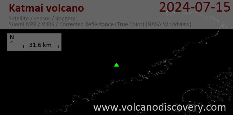
Latest satellite images

Katmai Volcano Maps
Below is a selection of maps showing the location and surroundings of the volcano at various resolutions based on aerial-imagery / terrain maps. Feel free to use them for non-commercial purposes on your blog or website as long as you credit them with a link back to this page (click to copy it).
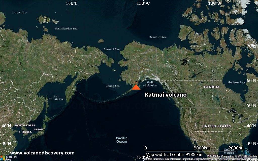
Satellite/aerial-type map of Katmai volcano (world scale)
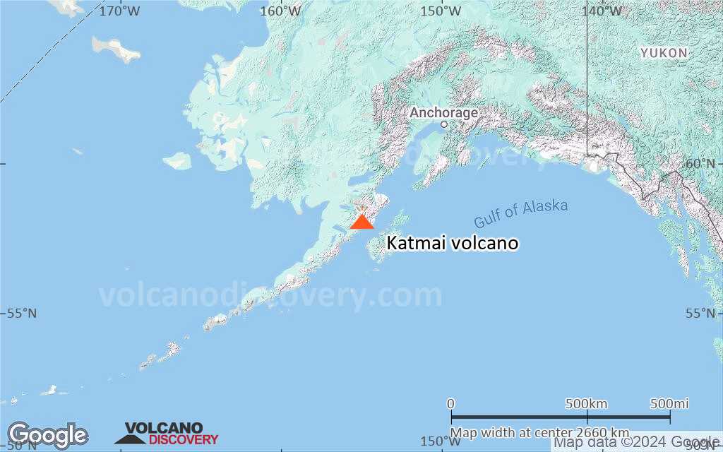
Terrain-type map of Katmai volcano (world scale)
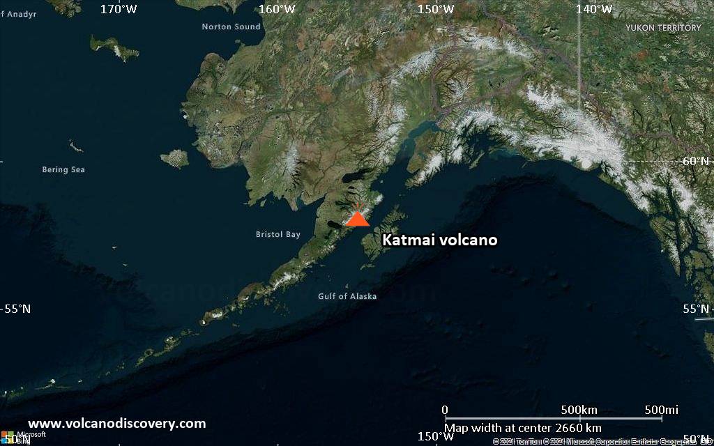
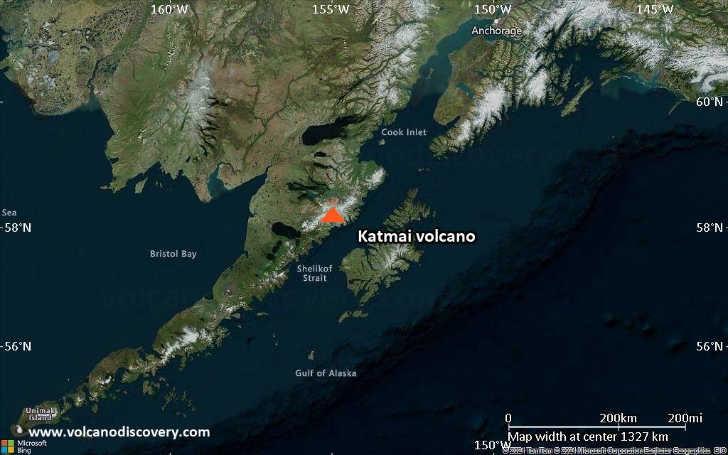
Satellite/aerial-type map of Katmai volcano (region scale large)
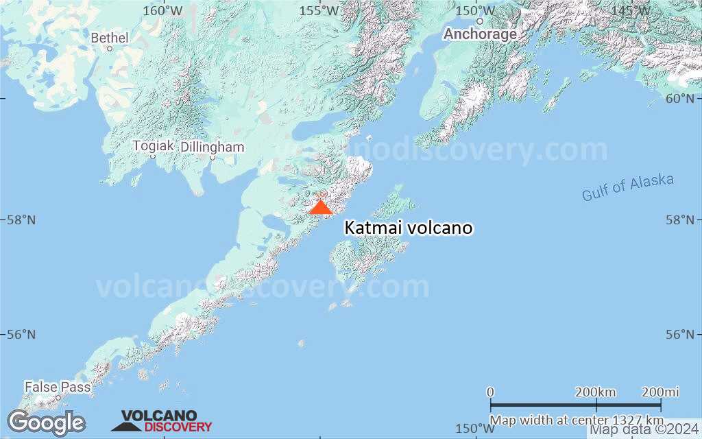
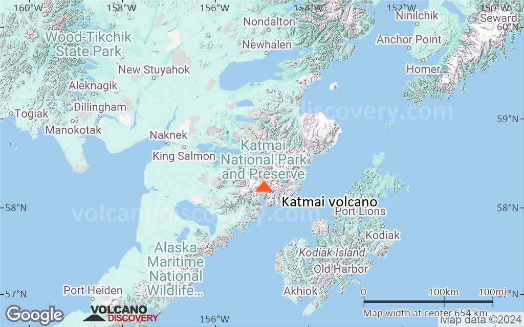
Terrain-type map of Katmai volcano (region scale large)
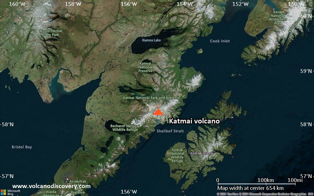
Satellite/aerial-type map of Katmai volcano (region scale medium)
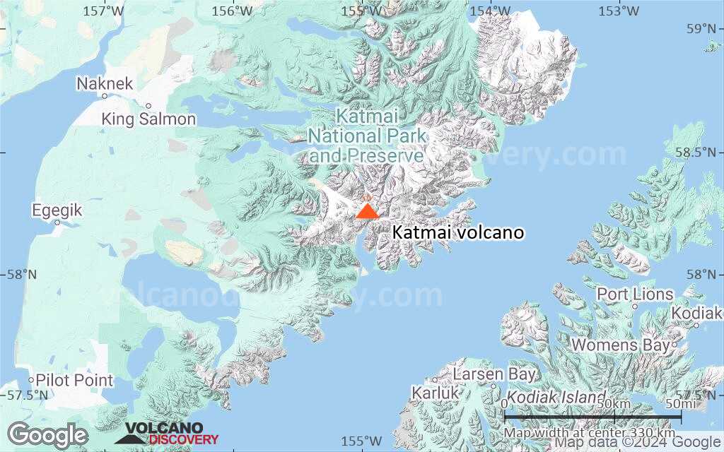
Terrain-type map of Katmai volcano (region scale medium)
Satellite/aerial-type map of Katmai volcano (region scale small)
Terrain-type map of Katmai volcano (region scale small)

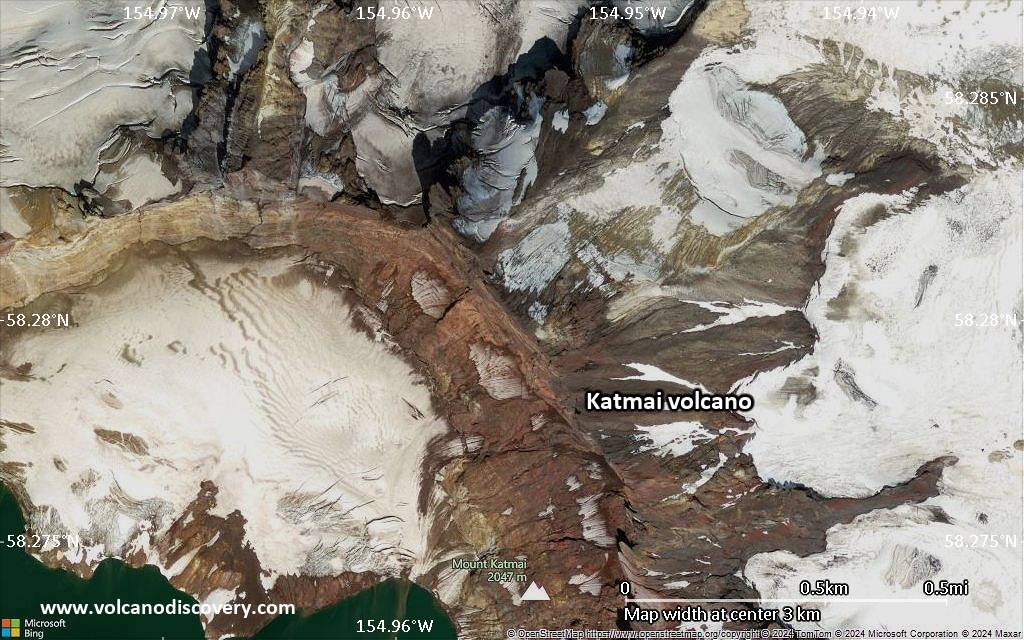
Satellite/aerial-type map of Katmai volcano (local scale large)
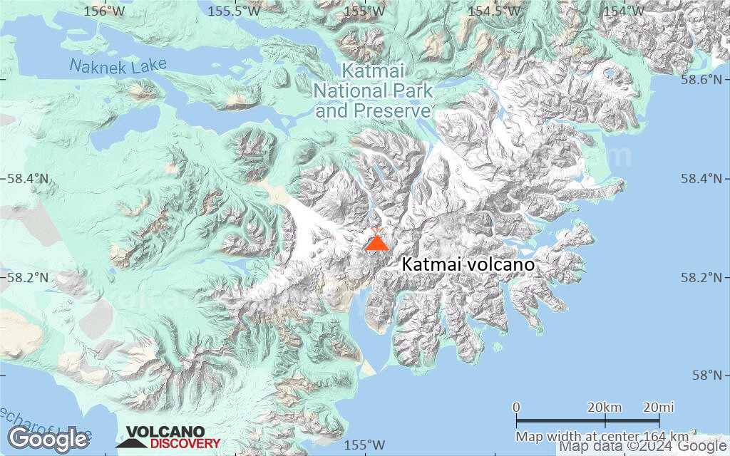
Terrain-type map of Katmai volcano (local scale large)

Satellite/aerial-type map of Katmai volcano (local scale medium)
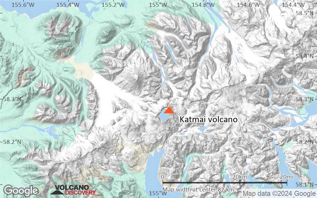
Terrain-type map of Katmai volcano (local scale medium)

Satellite/aerial-type map of Katmai volcano (local scale small)
Terrain-type map of Katmai volcano (local scale small)
Satellite/aerial-type map of Katmai volcano (scale of 10s of km)

Terrain-type map of Katmai volcano (scale of 10s of km)
Satellite/aerial-type map of Katmai volcano (scale of 20-40 km)

Terrain-type map of Katmai volcano (scale of 20-40 km)

Satellite/aerial-type map of Katmai volcano (scale of approx. 10-20 km)
Terrain-type map of Katmai volcano (scale of approx. 10-20 km)
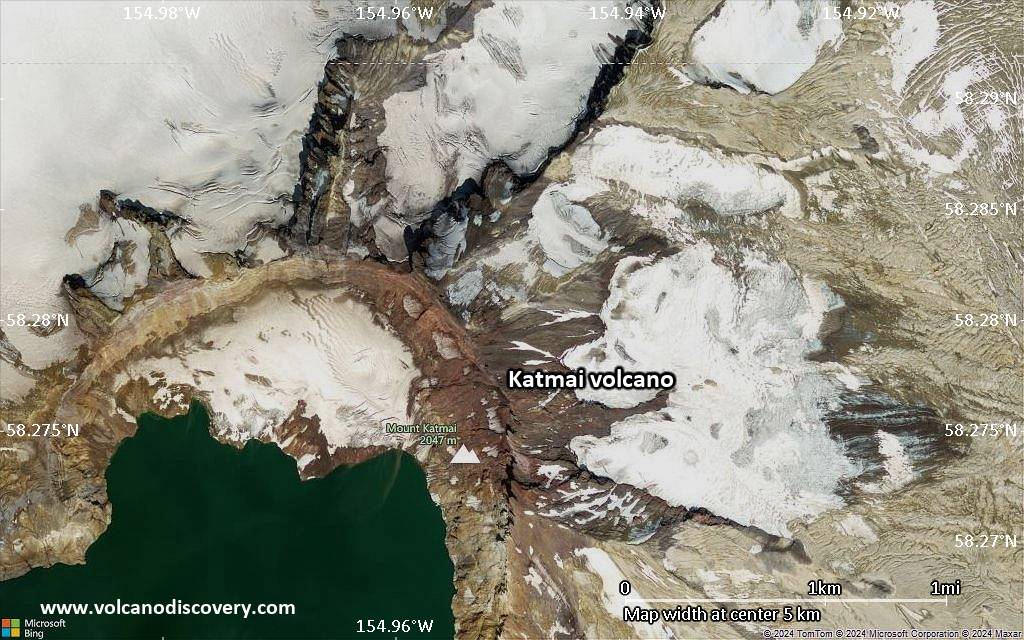
Satellite/aerial-type map of Katmai volcano (scale of 5-10 km)
Satellite/aerial-type map of Katmai volcano (scale of few kilometers)


