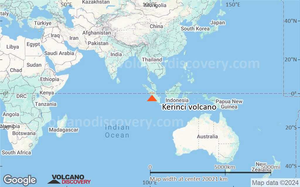
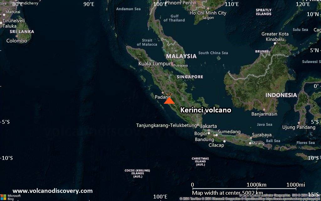
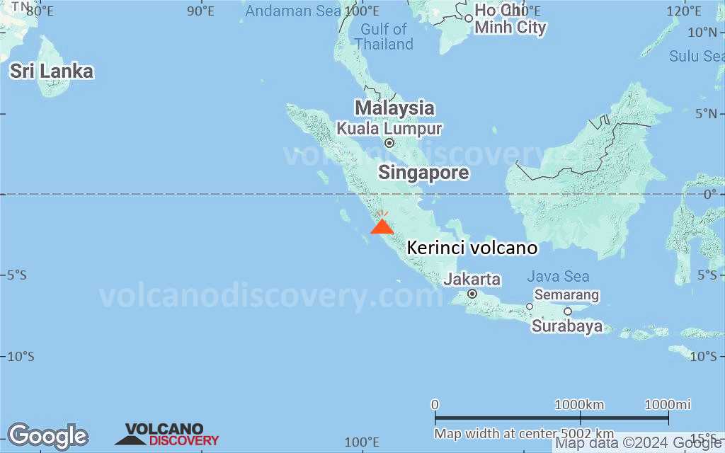
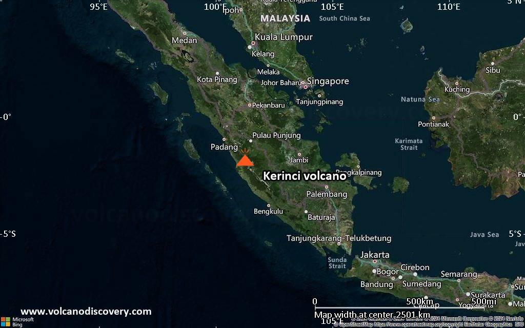
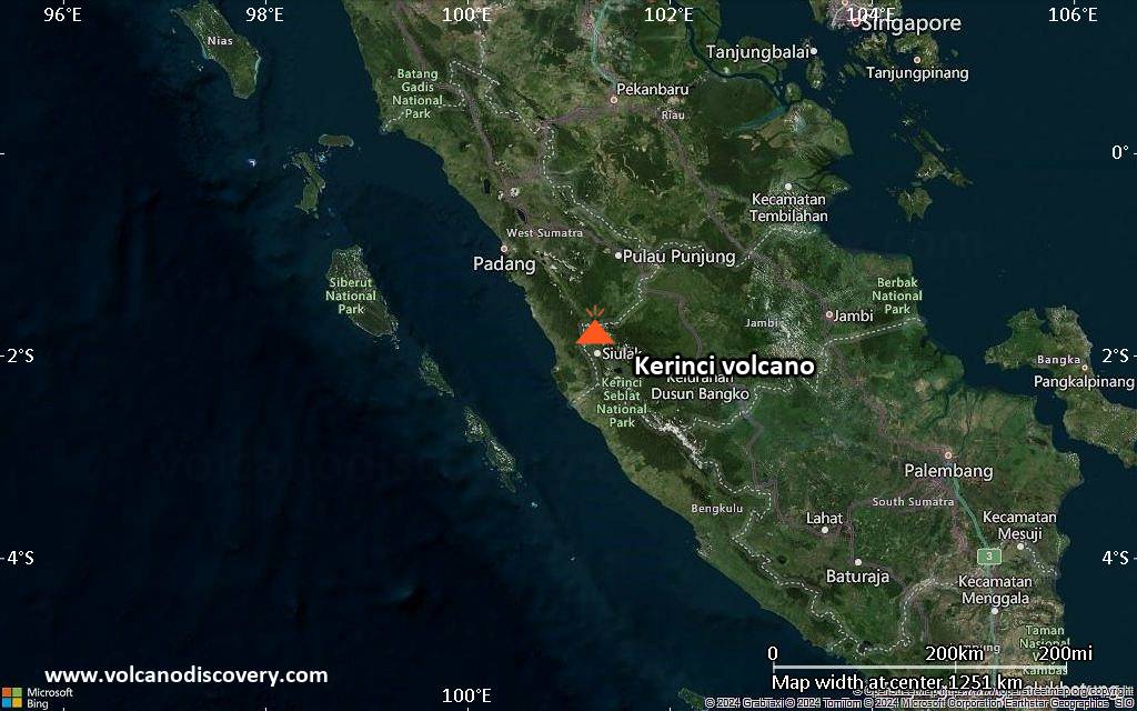
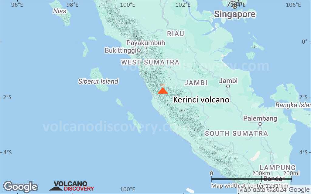
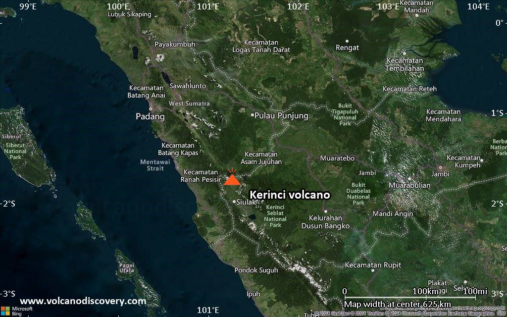
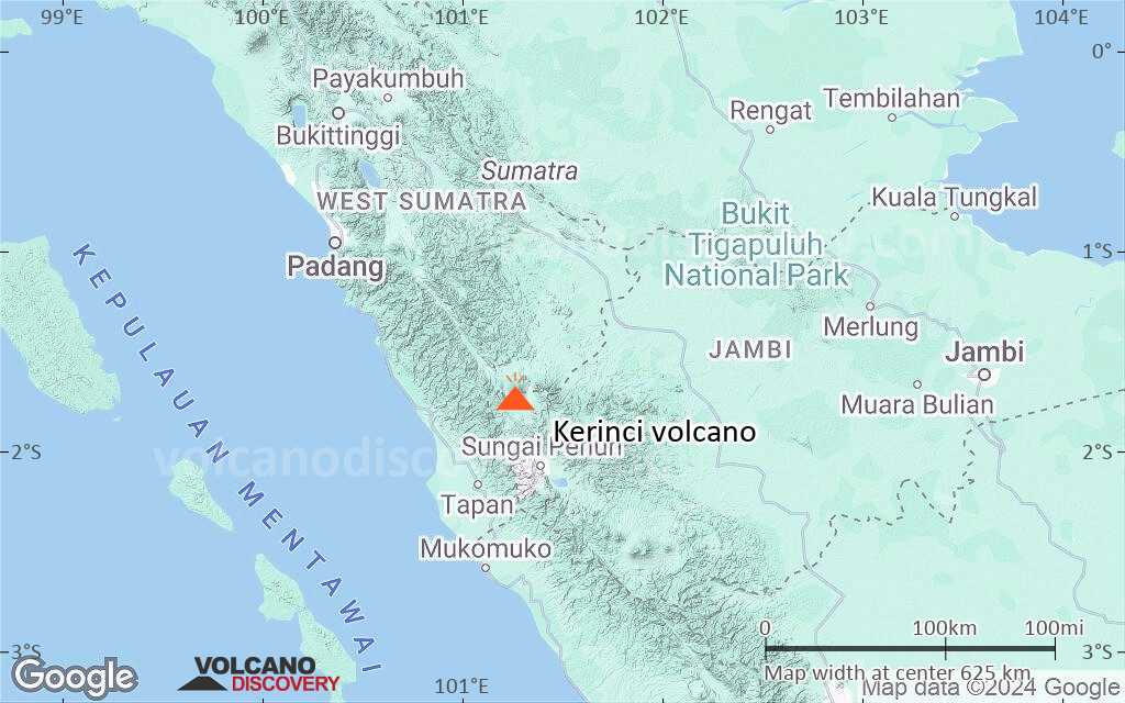
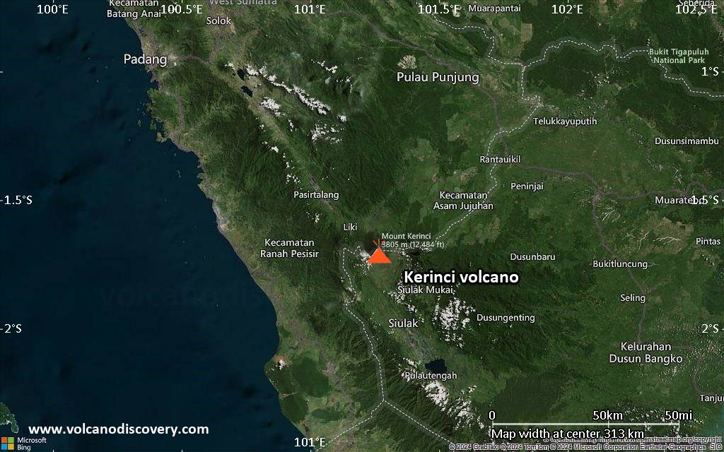
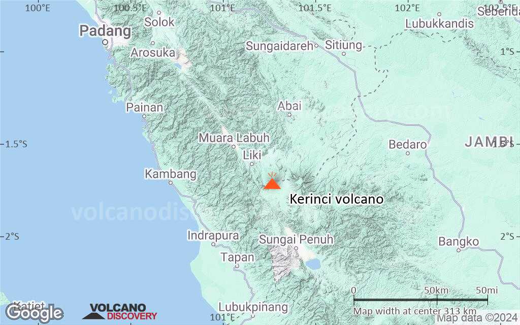
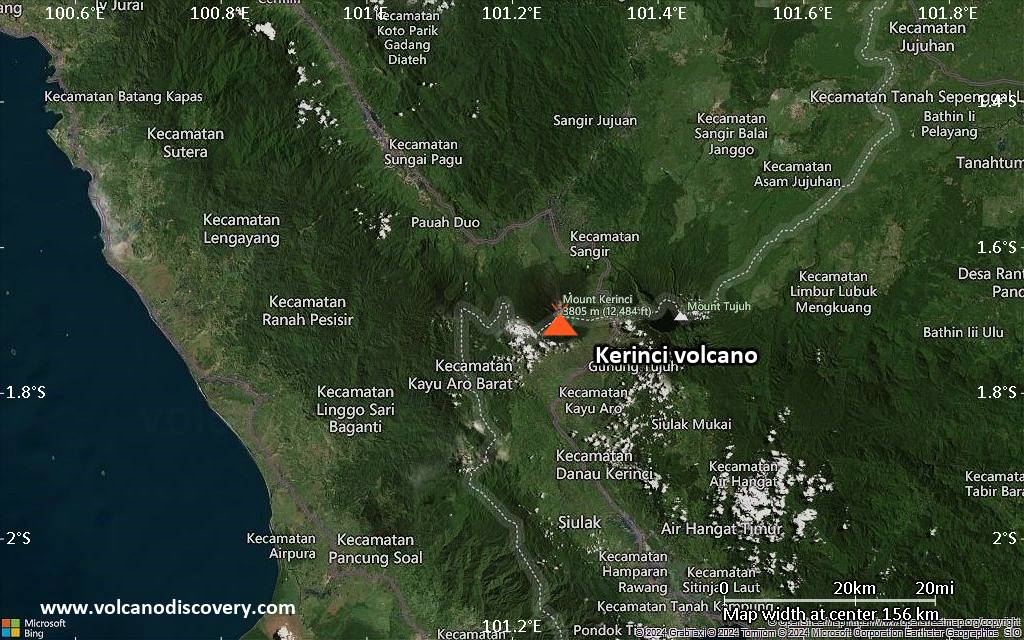
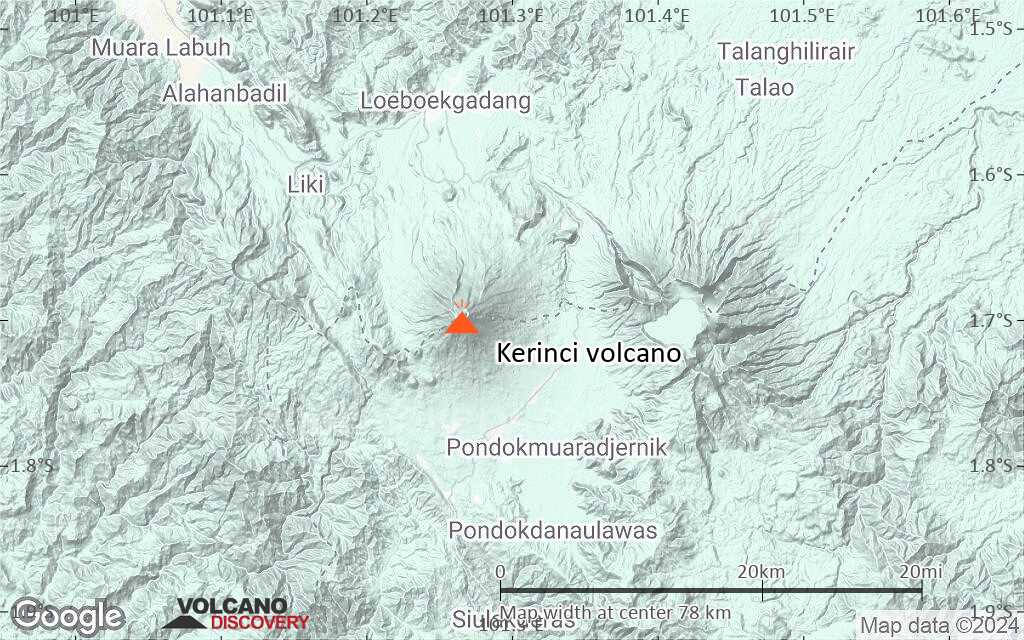
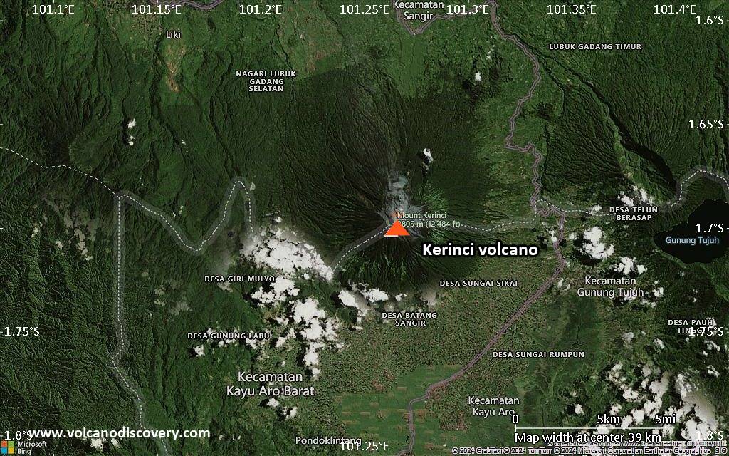
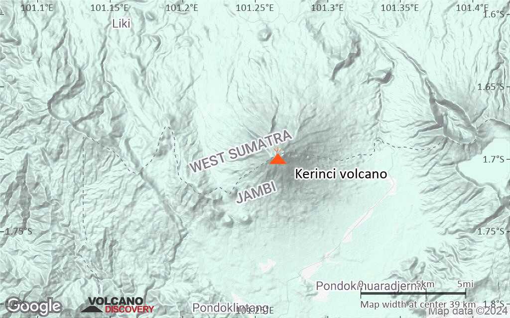
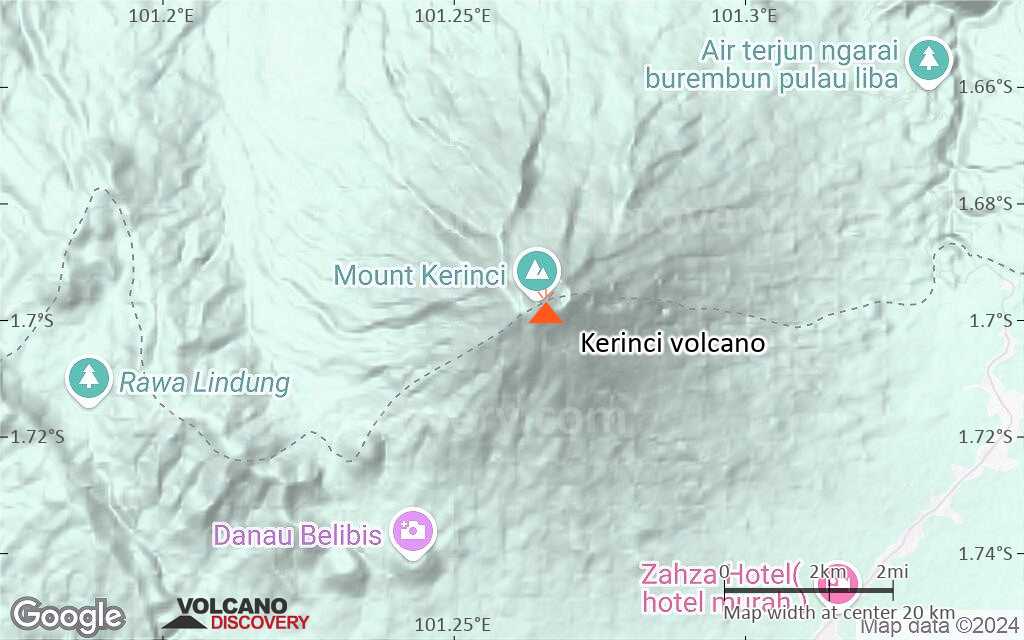
| RSS | EN | DE | EL | ES | FR | IT | RU

Kerinci Volcano

Updated: Aug 6, 2025 10:50 GMT -
Stratovolcano
Sumatra (Indonesia), -1.7°S / 101.27°E
Summit height: 3800 m / 12,467 ft
Current status: minor activity or eruption warning (3 out of 5)
Last update: 29 May 2024 (Smithsonian / USGS Weekly Volcanic Activity Report)

The 3800-m-high Gunung Kerinci in central Sumatra is Indonesia's highest volcano and one of the most active in Sumatra.

[smaller] [larger]
Typical eruption style:

Frequent moderate explosive eruptions.


Kerinci volcano eruptions: 1838, 1842, 1874(?), 1878, 1908-09, 1921, 1923, 1936, 1936, 1937, 1938, 1952, 1960, 1963, 1964, 1966, 1967, 1968, 1969-70, 1971(?), 1990, 1996, 1998, 1999, 2001-02, 2004, 2007, 2008, 2009, 2016, 2017, 2018, 2019

Latest nearby earthquakes

Date and TimeMag / DepthDistance / Location

Background

Kerinci is capped by an unvegetated young summit cone that was constructed NE of an older crater remnant. The volcano contains a deep 600-m-wide summit crater often partially filled by a small crater lake that lies on the NE crater floor, opposite the SW-rim summit of Kerinci.
The massive 13 x 25 km wide volcano towers 2400-3300 m above surrounding plains and is elongated in a N-S direction. The frequently active Gunung Kerinci has been the source of numerous moderate explosive eruptions since its first recorded eruption in 1838.


---
Source: GVP, Smithsonian Institute

Significant volcanic eruptions: Kerinci volcano

In the past 10,000 years, Kerinci has had at least 38 confirmed eruptions, all documented by historical records or observations. There is one uncertain or discredited eruption in 1971 from Kerinci volcano.
The table below lists all known eruptions (date in bold face) of Kerinci volcano since around 1900. Updates on the most recent volcanic activity of Kerinci can be found on the news page of Kerinci volcano.
DateNoteVEIDeathsDamage
2024 May 28
Historical obs./docs.
2
2022 Oct 15 - 2023 Feb 27
Historical obs./docs.
2
2018 Apr 21 - 2021 Jun 13
Historical obs./docs.
1
2017 Aug 13Summit crater
Historical obs./docs.
1
2016 Nov 15 - Nov 21Summit crater
Historical obs./docs.
1
2016 Mar 31 - Jun 9Summit crater
Historical obs./docs.
2
2013 Jun 2Summit crater
Historical obs./docs.
2
2011 Dec 15Summit crater
Historical obs./docs.
1
2009 Apr 1 ? - Jun 19 ?
Historical obs./docs.
1
2008 Mar 24
Historical obs./docs.
1
2007 Sep 9
Historical obs./docs.
1
2004 Jun 22 ? - Oct 24 ?
Historical obs./docs.
2
2001 May 12 - 2002 Aug 27 ?
Historical obs./docs.
2
1999 Mar 16 ±15 d. - Sep 16 ±15 d.
Historical obs./docs.
2
1998 Nov 3
Historical obs./docs.
2?
1998 Jul 4
Historical obs./docs.
2
1996 Aug 16 ±15 d. - Oct 16 ±15 d.
Historical obs./docs.
1
1990 Dec 31 ±365 d.
Historical obs./docs.
2
?? 1971 Jun 16 ±15 d.
Uncertain Eruption
1?
1969 Jul 2 ±182 d. - 1970 Jul 2 ±182 d.
Historical obs./docs.
2
1968 Feb 3 - Mar 18
Historical obs./docs.
2
1967 Nov 2
Historical obs./docs.
2
1966 Jun 9 - Jun 30 or later
Historical obs./docs.
2
1964 Jul 8
Historical obs./docs.
2
1963 Jul 16 ±15 d.
Historical obs./docs.
2
1960 Jul 16 ±15 d.
Historical obs./docs.
2
1952 Jan 16 ±15 d. - Jun 16 ±15 d.
Historical obs./docs.
2
1938 Jan 19 - Mar 18
Historical obs./docs.
2
1937 Sep 8
Historical obs./docs.
2
1936 Aug 30
Historical obs./docs.
2
1936 Apr 29
Historical obs./docs.
2
1923 Sep
Historical obs./docs.
1
1921 May - Jun
Historical obs./docs.
2
1908 Oct - 1909
Historical obs./docs.
2
Remark:
Our list of volcanic eruptions closely follows the database of eruptions of the Smithsonian's Global Volcanism Project (GVP), the internationally most recognized data source for volcanic eruptions, but also includes significant eruptive episodes or related volcano events. "Volcanic eruptions" are usually to be understood as sequences of individual eruptive episodes that can follow each other, or even overlap (if several vents are involved), and can last many years, decades or even longer. For example, the current activity of Stromboli volcano is understood as a single eruption that has been ongoing since 1934.
Sources: NOAA National Centers for Environmental Information (NCEI), Global Significant Volcanic Eruptions Database. doi:10.7289/V5TD9V7K | Global Volcanism Project / Smithsonian Institution

Kerinci Volcano FAQ

+When was the last eruption of Kerinci volcano?

+How often does Kerinci volcano erupt?

+How active is Kerinci volcano at present?

+When was the largest eruption of Kerinci volcano?

Latest satellite images

Kerinci satellite image sat1Kerinci satellite image sat2

Kerinci Volcano Maps

Below is a selection of maps showing the location and surroundings of the volcano at various resolutions based on aerial-imagery / terrain maps. Feel free to use them for non-commercial purposes on your blog or website as long as you credit them with a link back to this page (click to copy it).
Satellite/aerial-type map of Kerinci volcano (world scale)
Terrain-type map of Kerinci volcano (world scale)
Satellite/aerial-type map of Kerinci volcano (region scale large)
Terrain-type map of Kerinci volcano (region scale large)
Satellite/aerial-type map of Kerinci volcano (region scale medium)
Terrain-type map of Kerinci volcano (region scale medium)
Satellite/aerial-type map of Kerinci volcano (region scale small)
Terrain-type map of Kerinci volcano (region scale small)
Satellite/aerial-type map of Kerinci volcano (local scale large)
Terrain-type map of Kerinci volcano (local scale large)
Satellite/aerial-type map of Kerinci volcano (local scale medium)
Terrain-type map of Kerinci volcano (local scale medium)
Satellite/aerial-type map of Kerinci volcano (local scale small)
Terrain-type map of Kerinci volcano (local scale small)
Satellite/aerial-type map of Kerinci volcano (scale of 10s of km)
Terrain-type map of Kerinci volcano (scale of 10s of km)
Satellite/aerial-type map of Kerinci volcano (scale of 20-40 km)
Terrain-type map of Kerinci volcano (scale of 20-40 km)
Satellite/aerial-type map of Kerinci volcano (scale of approx. 10-20 km)
Terrain-type map of Kerinci volcano (scale of approx. 10-20 km)
Satellite/aerial-type map of Kerinci volcano (scale of 5-10 km)
Satellite/aerial-type map of Kerinci volcano (scale of few kilometers)
Volcanoes & Earthquakes - new app for Android
Guaranteed tours
1-14 Oct 2025: Desert, salt and volcanoes - Danakil desert (Ethiopia)
4-12 Oct 2025: From Stromboli to Etna - Sicily and Eolian Islands (Italy)
6-21 Oct 2025: From Krakatau to Bali - Java (Indonesia)
3-19 Nov 2025: Volcanoes and Spices - Sulawesi/Halmahera (Indonesia)
9-19 Nov 2025: Guatemala Volcano Special - Guatemala
= spaces available   = guaranteed   = few spaces left   = booked out
Wed, 29 May 2024, 14:00

Kerinci volcano - Smithsonian / USGS Weekly Volcanic Activity Report for 22 May-28 May 2024 (Continuing Activity)

The Darwin VAAC reported that at 1040 on 28 May an ash plume from Kerinci was identified in a satellite image drifting SW at 5.8 km (19,000 ft) a.s.l., or 2 km above the summit. PVMBG noted that white steam-and-gas plumes rose 200 m above the summit that same day. The Alert Level remained at 2 (on a scale of 1-4) and the public was reminded to stay 3 km away from the crater. ... Read all

On this page:

Try our free app!
Volcanoes & Earthquakes - new app for Android
Android | iOS version

More on VolcanoDiscovery

Why is there advertising on this site?

Support us - Help us upgrade our services!

We truly love working to bring you the latest volcano and earthquake data from around the world. Maintaining our website and our free apps does require, however, considerable time and resources.
We need financing to increase hard- and software capacity as well as support our editor team. We're aiming to achieve uninterrupted service wherever an earthquake or volcano eruption unfolds, and your donations can make it happen! Every donation will be highly appreciated. If you find the information useful and would like to support our team in integrating further features, write great content, and in upgrading our soft- and hardware, please make a donation (PayPal).

Planned features:Thanks to your past donations, these features have been added recently:
Download and Upgrade the Volcanoes & Earthquakes app to get one of the fastest seismic and volcano alerts online:
Android | IOS
Thank you!
Sources: VolcanoDiscovery / VolcanoAdventures and other sources as noted.
Use of material: Most text and images on our websites are owned by us. Re-use is generally not permitted without authorization. Contact us for licensing rights.
Volcanoes & Earthquakes
VolcanoDiscovery Home
Volcanoes | Earthquakes | Photos | Volcano News | | Shop | App
Adventure & Study Travel
Tours to Volcanoes and Volcanic Areas: walking tours, photo tours, study tours
Tours & Dates | FAQ | About us
Get our newsletter!
Company info
Contact | Legal info | Terms & conditions
Follow us
Follow us on facebook Follow us on Instagram Follow us on Bluesky Follow us on Twitter Visit our Youtube channel
EN | DE | EL | ES | FR | IT | RU
VolcanoDiscovery GmbH, Germany, Reg. nr.: HRB 103744, EU Tax Id: DE 297 465 123 owned and created by
Dr. Tom Pfeiffer, volcanologist, volcano photographer, tour organizer member of
IAVCEI
IAVCEI
Vulkanologische Gesellschaft
Volcanological Society
Ecotourism Greece
Ecotourism Greece
RUV insurance
Insured by R+V
VolcanoDiscovery © 2004- All Rights Reserved | Privacy - Cookie Settings