Kolob Volcano
Updated: May 1, 2025 16:16 GMT -
volcanic field
Utah (Canada and USA (mainland)), 37.33°N / -113.12°W 
Summit height: 2727 m / 8,947 ft
Current status: (probably) extinct (0 out of 5)
Kolob is a volcanic field in Zion National Park, Utah. It contains a chain of cinder cones and lava flows, the youngest one being the cinder cones in Diamond Valley. Other famous features of the area include the Kolob Canyons, Kolob Plateau, and Kolob Arch.
[smaller] [larger]
Kolob volcano eruptions: none in the past 10,000 years
Latest nearby earthquakes
| Date and Time | Mag / Depth | Distance / Location | |||
|---|---|---|---|---|---|
| Apr 27, 08:56 pm (Universal Time) | 1.6 9.8 km | 26 km (16 mi) to the N | Info | ||
| Apr 27, 06:36 pm (Universal Time) | 2.2 12 km | 27 km (17 mi) to the N | Info | ||
| Wednesday, April 23, 2025 GMT (1 quake) | |||||
| Apr 23, 10:02 am (Universal Time) | 1.0 8 km | 27 km (17 mi) to the SE | Info | ||
Latest satellite images

Kolob Volcano Maps
Below is a selection of maps showing the location and surroundings of the volcano at various resolutions based on aerial-imagery / terrain maps. Feel free to use them for non-commercial purposes on your blog or website as long as you credit them with a link back to this page (click to copy it).
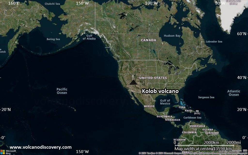
Satellite/aerial-type map of Kolob volcano (world scale)
Terrain-type map of Kolob volcano (world scale)
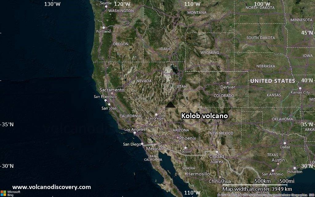
Satellite/aerial-type map of Kolob volcano (region scale large)
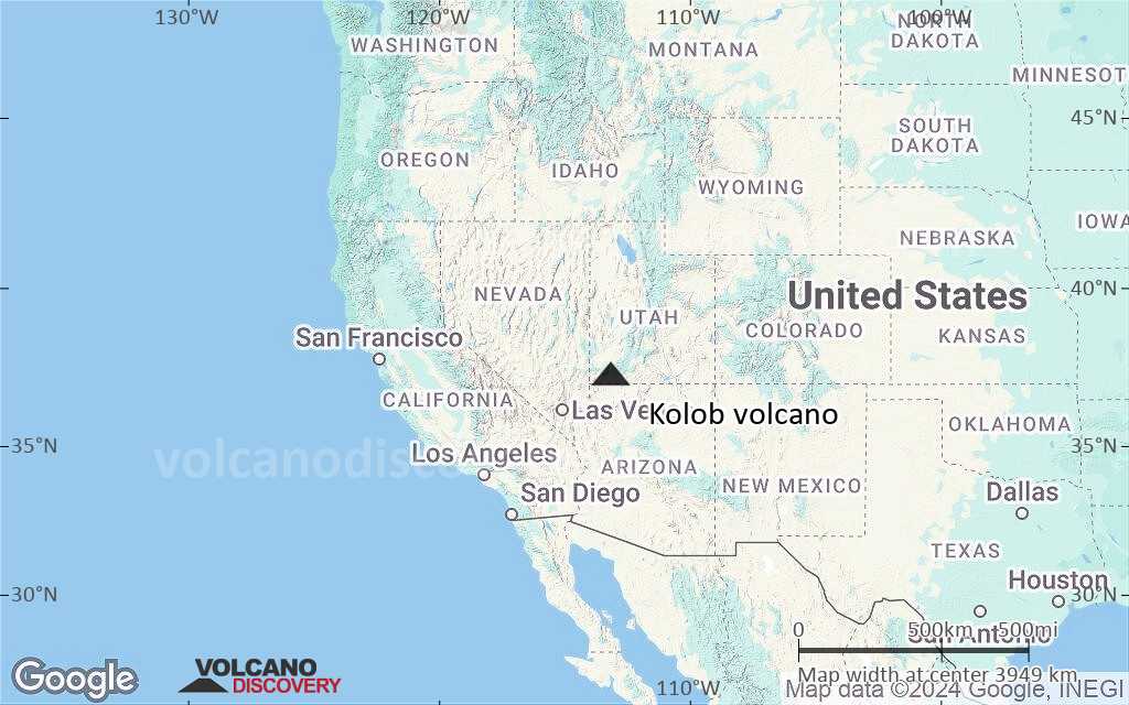
Terrain-type map of Kolob volcano (region scale large)
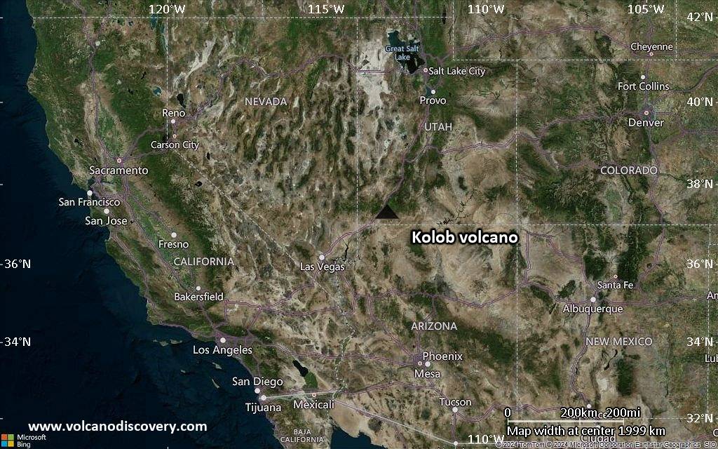
Satellite/aerial-type map of Kolob volcano (region scale medium)
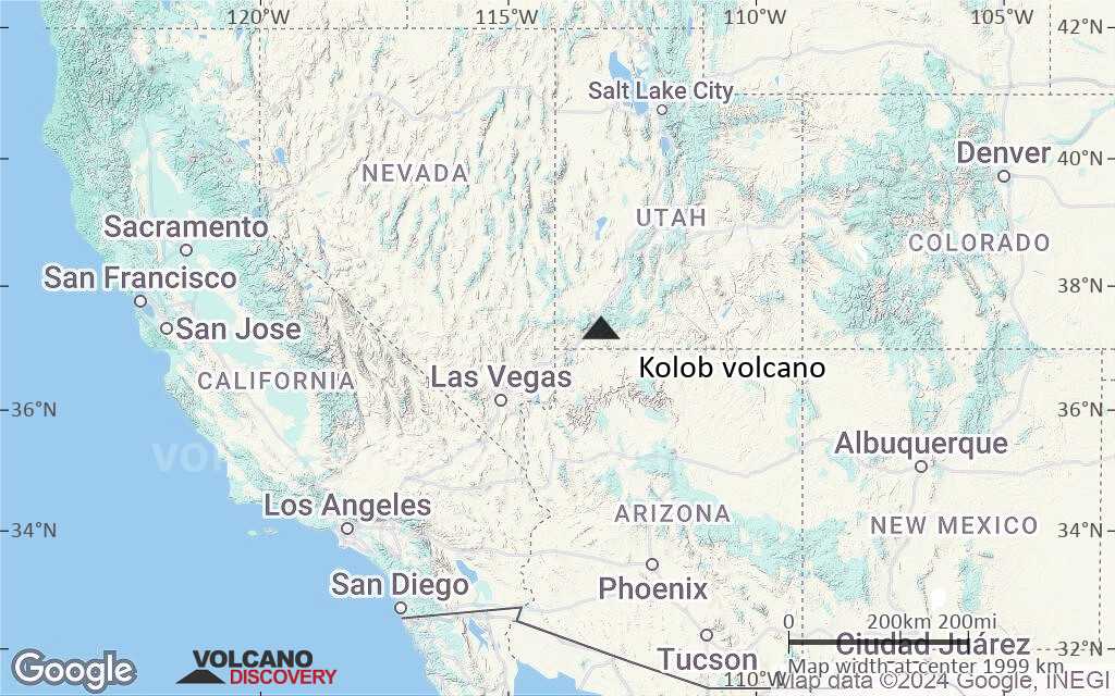
Terrain-type map of Kolob volcano (region scale medium)

Satellite/aerial-type map of Kolob volcano (region scale small)

Terrain-type map of Kolob volcano (region scale small)

Satellite/aerial-type map of Kolob volcano (local scale large)

Terrain-type map of Kolob volcano (local scale large)

Satellite/aerial-type map of Kolob volcano (local scale medium)

Terrain-type map of Kolob volcano (local scale medium)

Satellite/aerial-type map of Kolob volcano (local scale small)

Terrain-type map of Kolob volcano (local scale small)

Satellite/aerial-type map of Kolob volcano (scale of 10s of km)

Terrain-type map of Kolob volcano (scale of 10s of km)

Satellite/aerial-type map of Kolob volcano (scale of 20-40 km)

Terrain-type map of Kolob volcano (scale of 20-40 km)

Satellite/aerial-type map of Kolob volcano (scale of approx. 10-20 km)

Terrain-type map of Kolob volcano (scale of approx. 10-20 km)

Satellite/aerial-type map of Kolob volcano (scale of 5-10 km)

Satellite/aerial-type map of Kolob volcano (scale of few kilometers)