Kronotsky Volcano
Updated: Apr 29, 2024 12:13 GMT -
Stratovolcano 3528 m / 11,575 ft
Kamchatka, Russia, 54.75°N / 160.53°E
Current status: normal or dormant (1 out of 5)
Kamchatka, Russia, 54.75°N / 160.53°E
Current status: normal or dormant (1 out of 5)
[smaller] [larger]
Kronotsky volcano eruptions: 1923
Latest nearby earthquakes
| Time | Mag. / Depth | Distance / Location | |||
Background
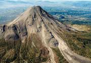
This symmetrical stratovolcano, one of the most scenic in Kamchatka, lies between the Pacific Ocean and Lake Kronotsky, Kamchatka's largest lake. The lake formed at the end of the Pleistocene and the beginning of the Holocene when extensive lava flows on the south side of Kronotsky volcano dammed the Listvenichnaya River. The flanks of the massive 3528-m-high volcano, one of the largest in Kamchatka, are dissected by radial valleys up to 200 m deep. A volcanic neck plugs the summit crater. Cinder cones are found on the north and primarily on the SE and SW flanks. Kronotsky lavas have been dominantly basaltic, with the exception of the small basaltic-andesite summit lava extrusion and a flank lava flow. Weak phreatic eruptions took place in the 20th century.---
Smithsonian / GVP volcano information
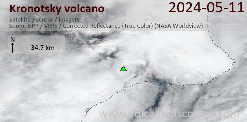
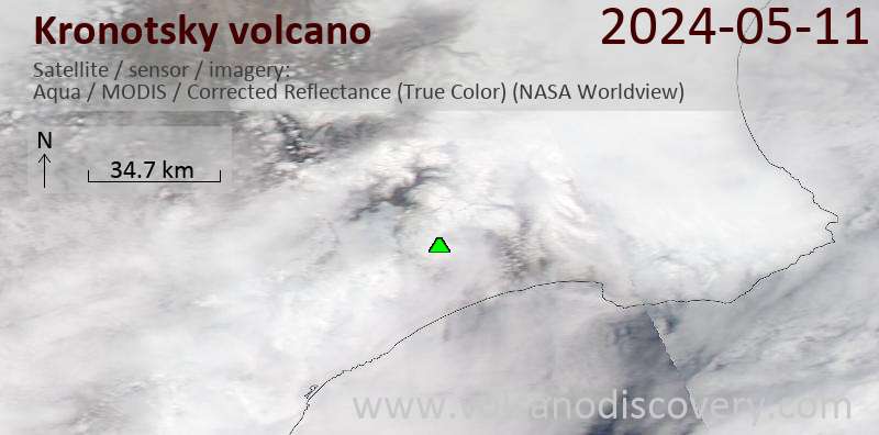
Latest satellite images