Kurub Volcano
Updated: Jun 27, 2025 05:35 GMT -
Shield volcano
Ethiopia, 11.88°N / 41.21°E 
Summit height: 625 m / 2,051 ft
Current status: normal or dormant (1 out of 5)
[smaller] [larger]
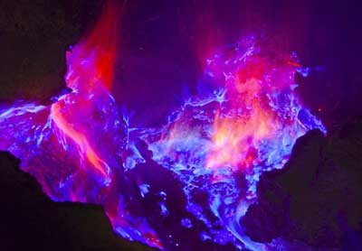
Kurub volcano eruptions: unknown, no recent eruptions
Latest nearby earthquakes
| Date and Time | Mag / Depth | Distance / Location | |||
|---|---|---|---|---|---|
Background
The small Holocene Kurub shield volcano, also known as Kurub Koma, Kurub Koba, or Curub, lies in the Saha Plain, SE of the Manda Hararo complex in the South Danakil region. The easternmost lava flow of Kurub volcano was potassium-argon dated at about 0.3 million years. Wind-blown sand fills the summit crater of the very recent basaltic volcano. Initial subaqueous activity occurred along NNW-trending fissures. Fumarolic activity observed in the 1930s was not seen during field work in the 1970s.---
Smithsonian / GVP volcano information
Latest satellite images
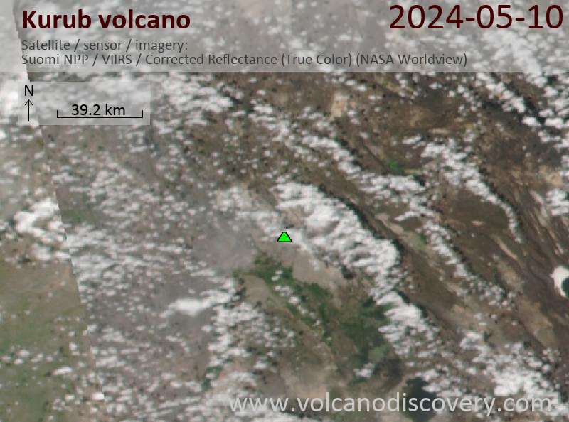
Kurub Volcano Maps
Below is a selection of maps showing the location and surroundings of the volcano at various resolutions based on aerial-imagery / terrain maps. Feel free to use them for non-commercial purposes on your blog or website as long as you credit them with a link back to this page (click to copy it).

Satellite/aerial-type map of Kurub volcano (world scale)

Terrain-type map of Kurub volcano (world scale)

Satellite/aerial-type map of Kurub volcano (region scale large)

Terrain-type map of Kurub volcano (region scale large)

Satellite/aerial-type map of Kurub volcano (region scale medium)

Terrain-type map of Kurub volcano (region scale medium)

Satellite/aerial-type map of Kurub volcano (region scale small)

Terrain-type map of Kurub volcano (region scale small)

Satellite/aerial-type map of Kurub volcano (local scale large)

Terrain-type map of Kurub volcano (local scale large)

Satellite/aerial-type map of Kurub volcano (local scale medium)

Terrain-type map of Kurub volcano (local scale medium)

Satellite/aerial-type map of Kurub volcano (local scale small)

Terrain-type map of Kurub volcano (local scale small)

Satellite/aerial-type map of Kurub volcano (scale of 10s of km)

Terrain-type map of Kurub volcano (scale of 10s of km)

Satellite/aerial-type map of Kurub volcano (scale of 20-40 km)

Terrain-type map of Kurub volcano (scale of 20-40 km)

Satellite/aerial-type map of Kurub volcano (scale of approx. 10-20 km)

Terrain-type map of Kurub volcano (scale of approx. 10-20 km)

Satellite/aerial-type map of Kurub volcano (scale of 5-10 km)

Satellite/aerial-type map of Kurub volcano (scale of few kilometers)