Kyatwa Volcano
Updated: Jun 25, 2025 09:28 GMT -
Tuff cones
Uganda, 0.45°N / 30.25°E 
Summit height: 1430 m / 4,692 ft
Current status: (probably) extinct (0 out of 5)
[smaller] [larger]
Kyatwa volcano eruptions: unknown, no recent eruptions
Latest nearby earthquakes
| Date and Time | Mag / Depth | Distance / Location | |||
|---|---|---|---|---|---|
Background
The Kyatwa volcanic field, also known as the Ndale volcanic field, occupies the Western Rift Valley, north of the equator and east of the Ruwenzori Mountains about halfway between Lake Edward and Lake Albert. The Kyatwa tuff cones and lake-filled maars are part of a group of Pleistocene-to-Recent volcanic fields in western Uganda.---
Smithsonian / GVP volcano information
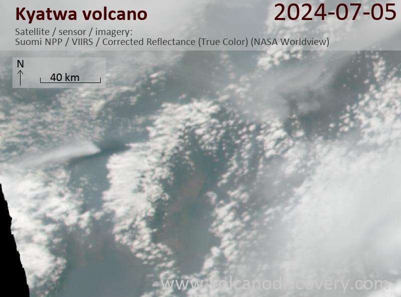
Latest satellite images
Kyatwa Volcano Maps
Below is a selection of maps showing the location and surroundings of the volcano at various resolutions based on aerial-imagery / terrain maps. Feel free to use them for non-commercial purposes on your blog or website as long as you credit them with a link back to this page (click to copy it).

Satellite/aerial-type map of Kyatwa volcano (world scale)

Terrain-type map of Kyatwa volcano (world scale)

Satellite/aerial-type map of Kyatwa volcano (region scale large)

Terrain-type map of Kyatwa volcano (region scale large)

Satellite/aerial-type map of Kyatwa volcano (region scale medium)

Terrain-type map of Kyatwa volcano (region scale medium)

Satellite/aerial-type map of Kyatwa volcano (region scale small)

Terrain-type map of Kyatwa volcano (region scale small)

Satellite/aerial-type map of Kyatwa volcano (local scale large)

Terrain-type map of Kyatwa volcano (local scale large)

Satellite/aerial-type map of Kyatwa volcano (local scale medium)

Terrain-type map of Kyatwa volcano (local scale medium)

Satellite/aerial-type map of Kyatwa volcano (local scale small)

Terrain-type map of Kyatwa volcano (local scale small)

Satellite/aerial-type map of Kyatwa volcano (scale of 10s of km)

Terrain-type map of Kyatwa volcano (scale of 10s of km)

Satellite/aerial-type map of Kyatwa volcano (scale of 20-40 km)

Terrain-type map of Kyatwa volcano (scale of 20-40 km)

Satellite/aerial-type map of Kyatwa volcano (scale of approx. 10-20 km)

Terrain-type map of Kyatwa volcano (scale of approx. 10-20 km)

Satellite/aerial-type map of Kyatwa volcano (scale of 5-10 km)

Satellite/aerial-type map of Kyatwa volcano (scale of few kilometers)


