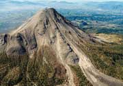
Lambafjoll Volcano
Updated: Jun 8, 2025 23:31 GMT -
Fissure vent(s)
Northern Iceland, 65.88°N / -16.88°W 
Summit height: 840 m / 2756 ft
Current status: (probably) extinct (0 out of 5)
[smaller] [larger]
Lambafjoll volcano eruptions: None during the past 10,000 years
Less than few million years ago (Pleistocene)
Latest nearby earthquakes
| Date and Time | Mag / Depth | Distance / Location | |||
|---|---|---|---|---|---|
| Jun 8, 11:20 pm (Reykjavik) | 1.0 5.3 km | 4 km (2.5 mi) to the W | Info | ||
| Jun 8, 11:46 am (Reykjavik) | 1.3 15 km | 18 km (11 mi) to the NW | Info | ||
| Jun 8, 11:46 am (Reykjavik) | 1.3 5.8 km | 30 km (19 mi) to the NW | Info | ||
| Jun 8, 11:46 am (Universal Time) | 1.4 9.1 km | 30 km (18 mi) to the NW | Info | ||
| Jun 8, 03:42 am (Universal Time) | 0.8 5.2 km | 3.7 km (2.3 mi) to the W | Info | ||
| Jun 8, 03:39 am (Universal Time) | 1.9 5.4 km | 3.9 km (2.4 mi) to the W | Info | ||
| Jun 8, 03:39 am (Reykjavik) | 1.2 1.1 km | 17 km (10.7 mi) to the SE | Info | ||
| Jun 8, 03:34 am (Universal Time) | 2.3 5.7 km | 4.3 km (2.6 mi) to the W | Info | ||
| Wednesday, May 28, 2025 GMT (1 quake) | |||||
| May 28, 10:28 am (Reykjavik) | 1.4 1.1 km | 25 km (16 mi) to the N | Info | ||
Background
The Lambafjöll fissure vents of Pleistocene age lie west of Theistareykjarbunga volcano.---
Source: Smithsonian / GVP volcano information
Latest satellite images

Lambafjoll Volcano Maps
Below is a selection of maps showing the location and surroundings of the volcano at various resolutions based on aerial-imagery / terrain maps. Feel free to use them for non-commercial purposes on your blog or website as long as you credit them with a link back to this page (click to copy it).
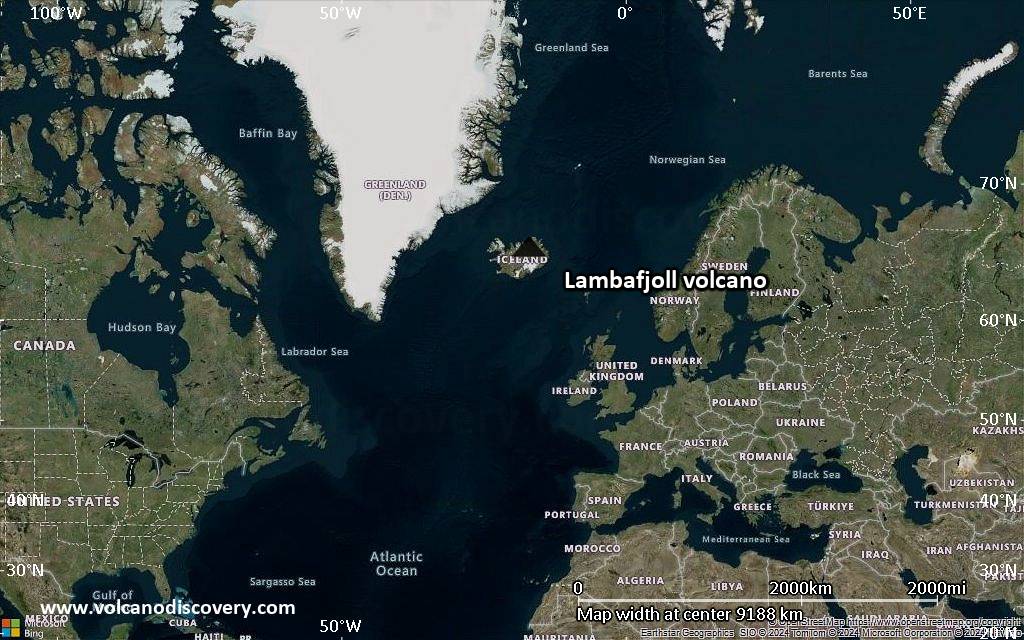
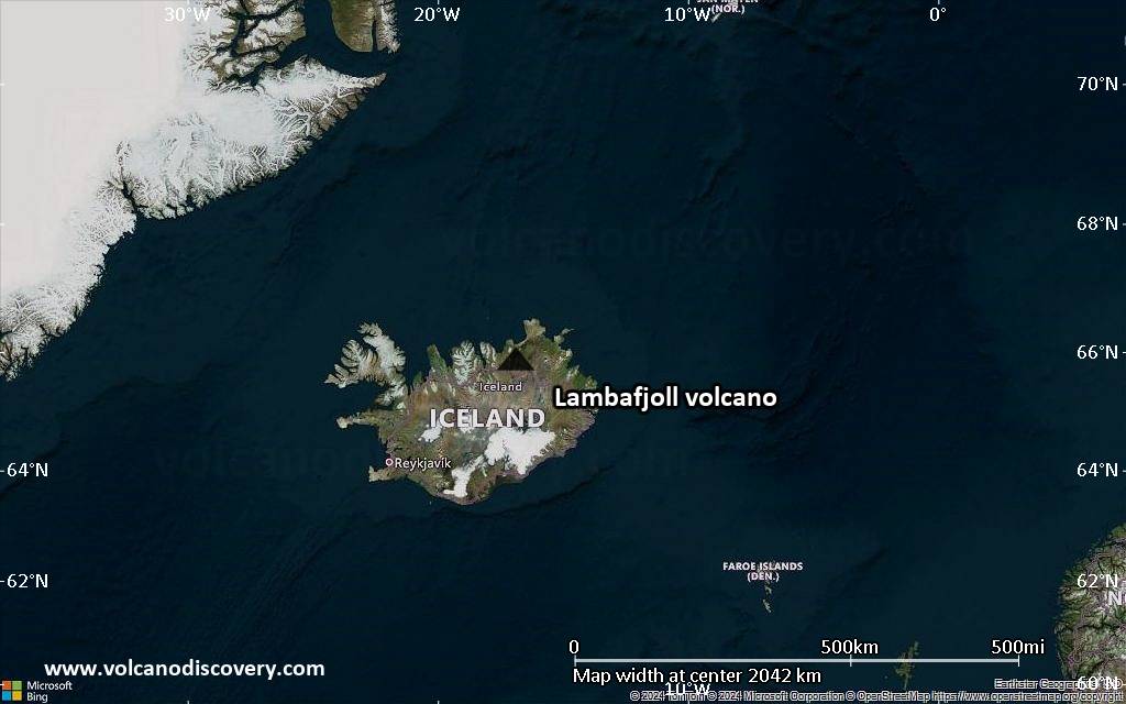
Satellite/aerial-type map of Lambafjoll volcano (world scale)
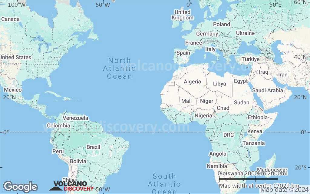
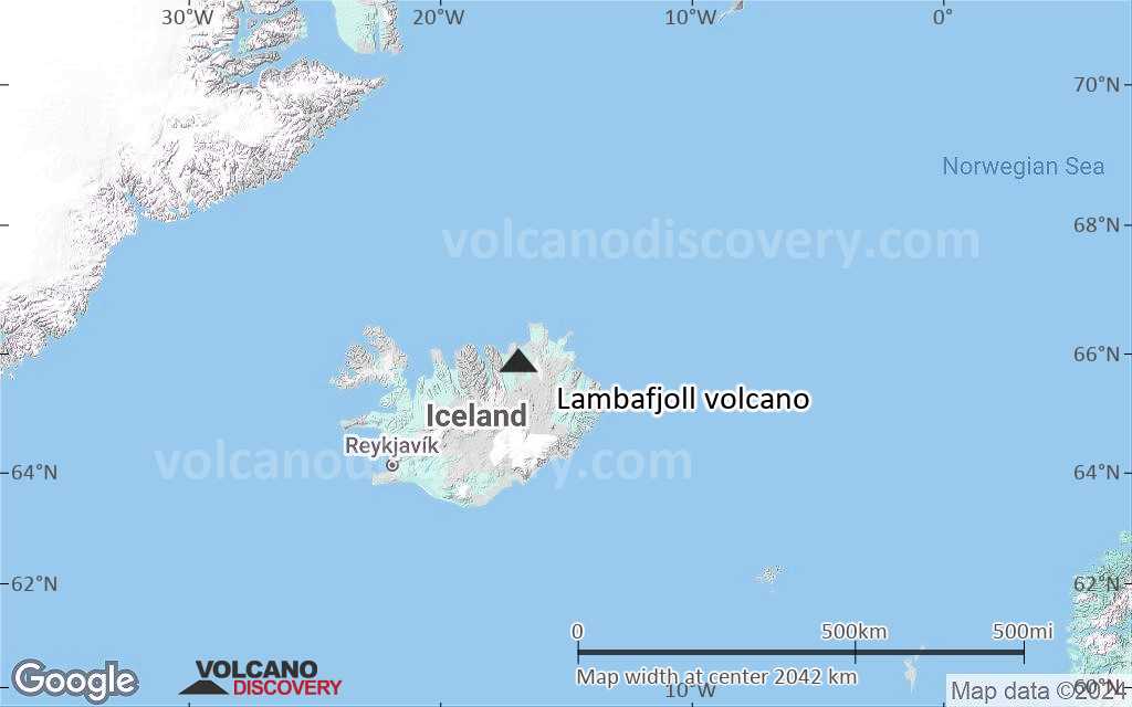
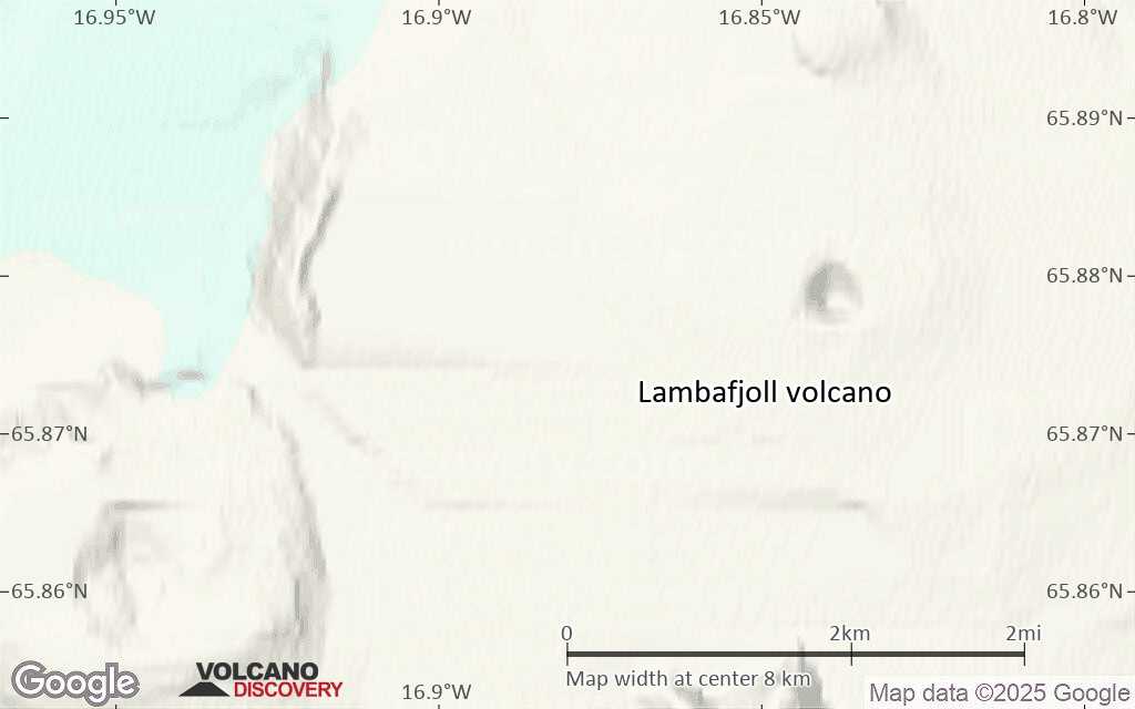
Terrain-type map of Lambafjoll volcano (world scale)
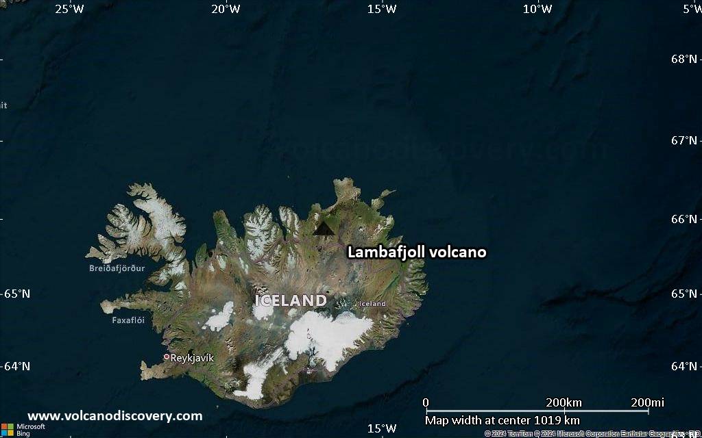
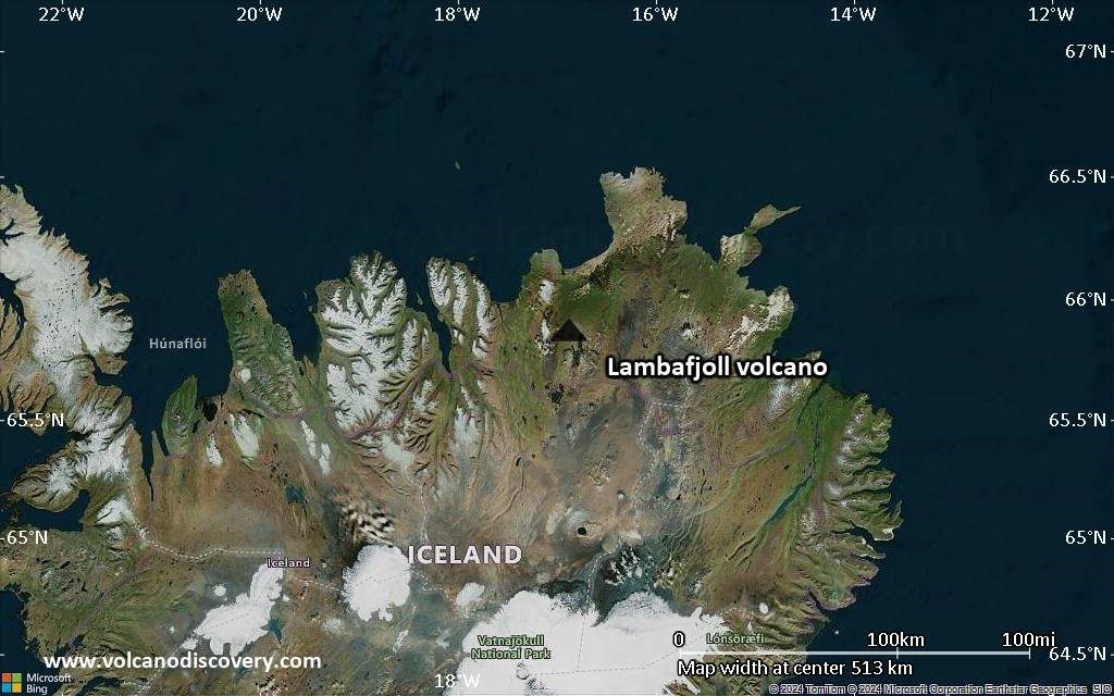
Satellite/aerial-type map of Lambafjoll volcano (region scale large)
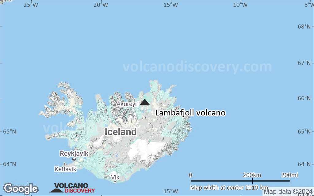
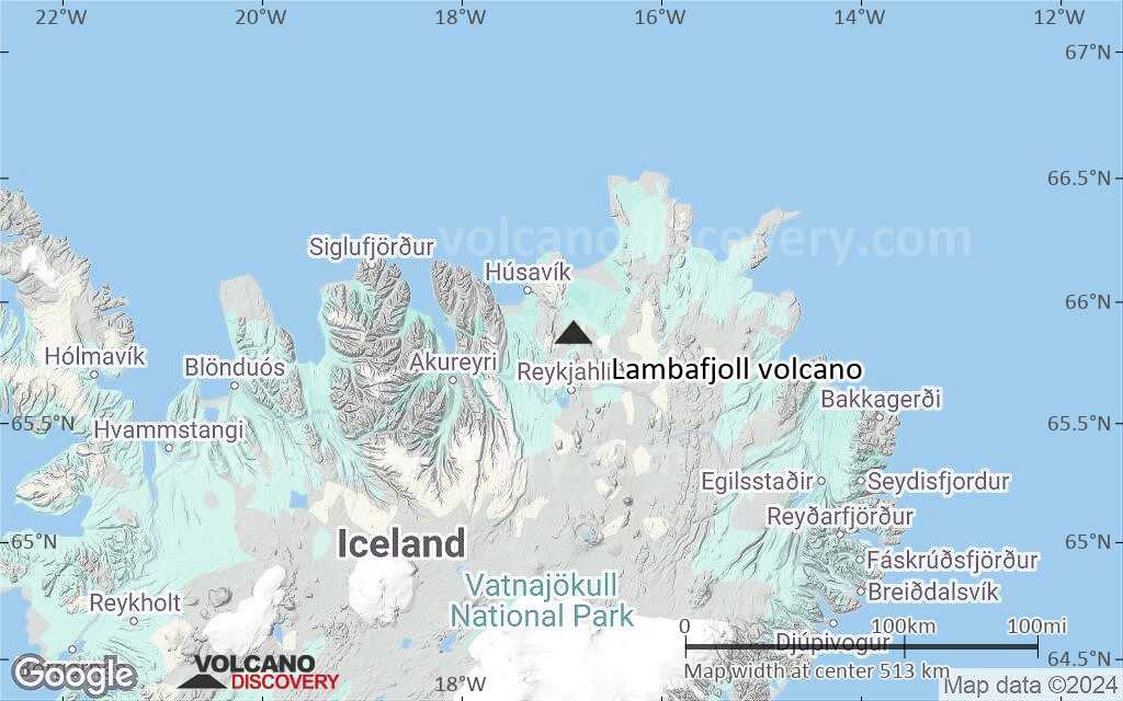
Terrain-type map of Lambafjoll volcano (region scale large)
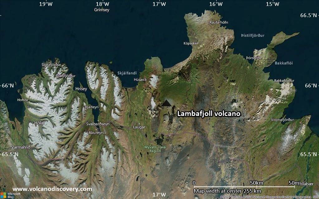
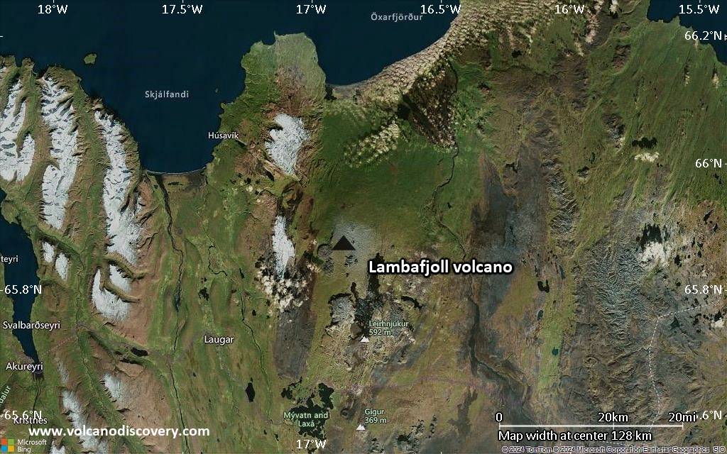
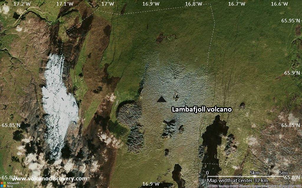
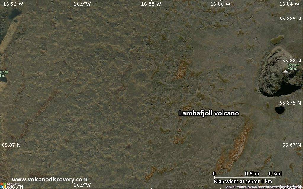
Satellite/aerial-type map of Lambafjoll volcano (region scale medium)
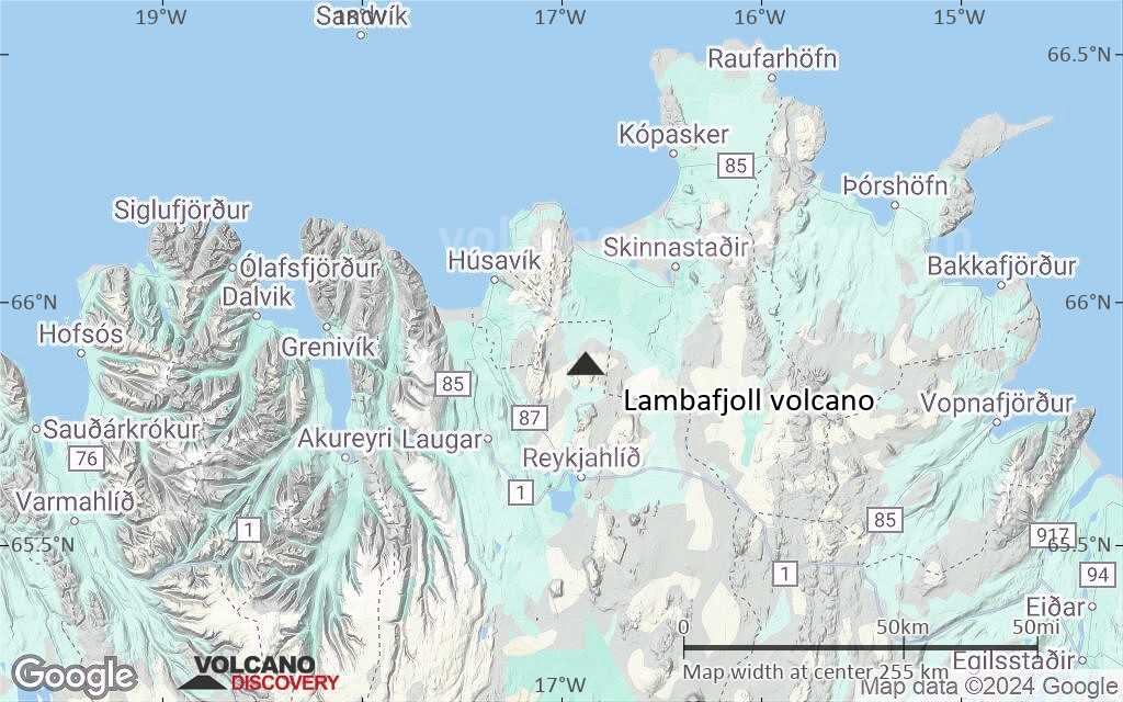
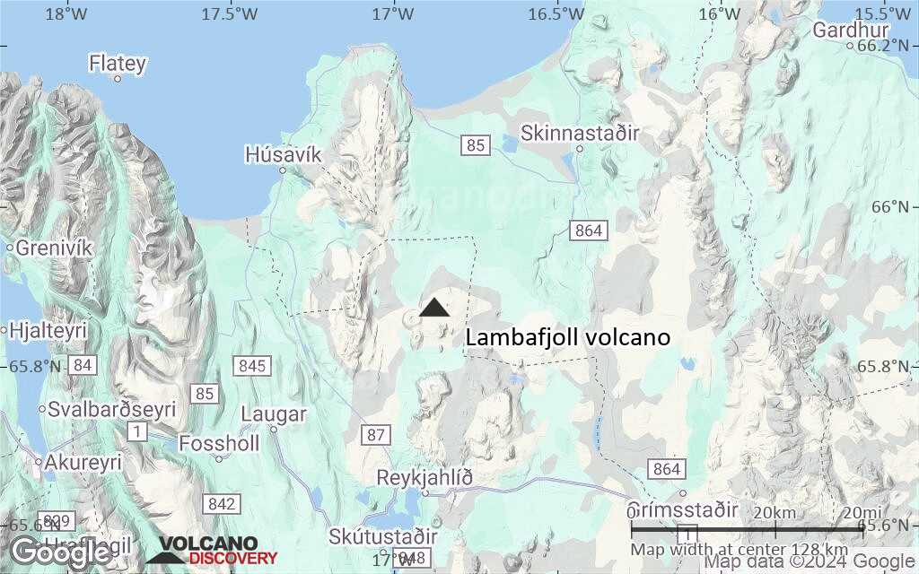
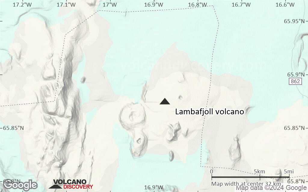
Terrain-type map of Lambafjoll volcano (region scale medium)
Satellite/aerial-type map of Lambafjoll volcano (region scale small)
Terrain-type map of Lambafjoll volcano (region scale small)
Satellite/aerial-type map of Lambafjoll volcano (local scale large)
Terrain-type map of Lambafjoll volcano (local scale large)
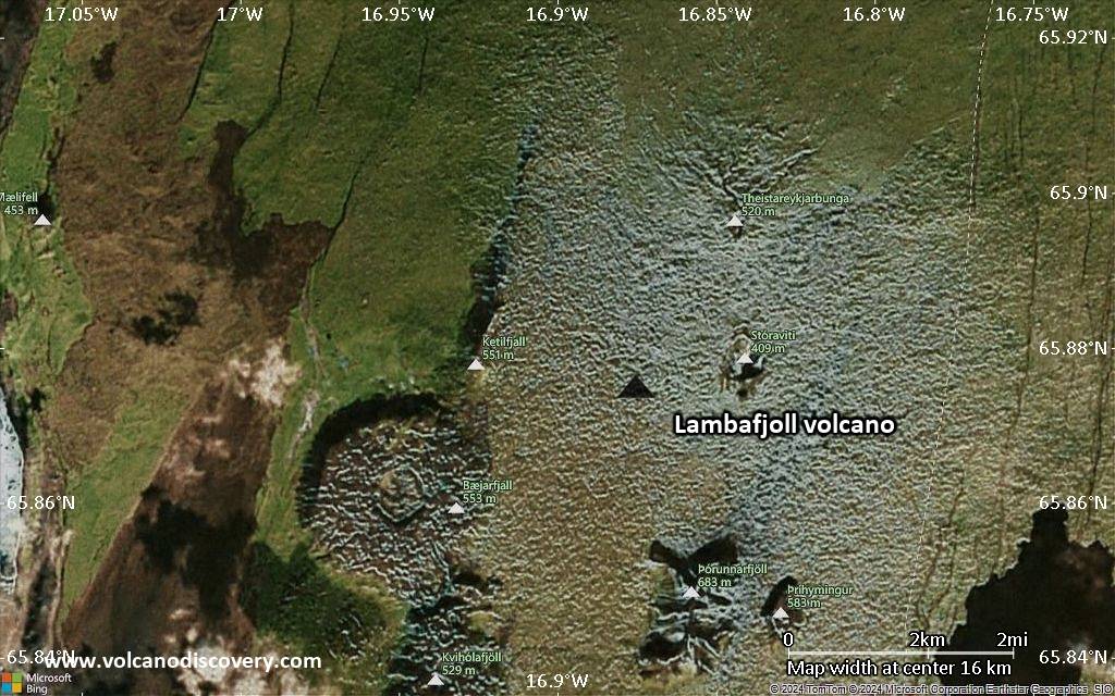
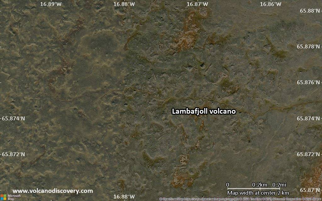
Satellite/aerial-type map of Lambafjoll volcano (local scale medium)
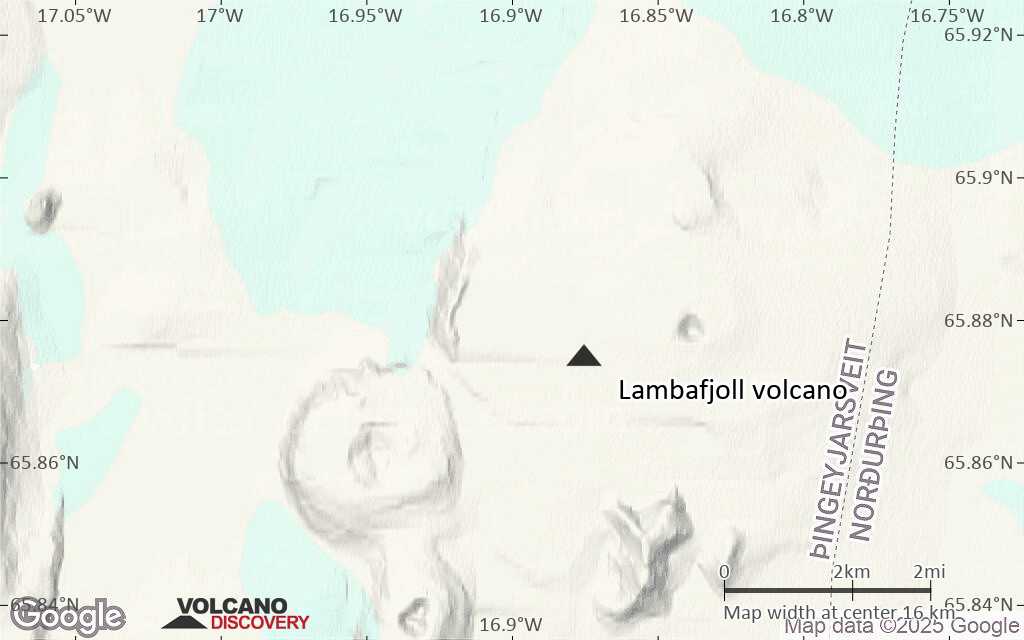
Terrain-type map of Lambafjoll volcano (local scale medium)
Satellite/aerial-type map of Lambafjoll volcano (local scale small)
Terrain-type map of Lambafjoll volcano (local scale small)
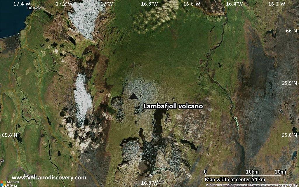
Satellite/aerial-type map of Lambafjoll volcano (scale of 10s of km)
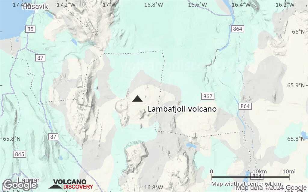
Terrain-type map of Lambafjoll volcano (scale of 10s of km)
Satellite/aerial-type map of Lambafjoll volcano (scale of 20-40 km)
Terrain-type map of Lambafjoll volcano (scale of 20-40 km)

Satellite/aerial-type map of Lambafjoll volcano (scale of approx. 10-20 km)
Terrain-type map of Lambafjoll volcano (scale of approx. 10-20 km)
Satellite/aerial-type map of Lambafjoll volcano (scale of 5-10 km)
Satellite/aerial-type map of Lambafjoll volcano (scale of few kilometers)